The best gravel rides around Grézac
4.4
(14)
95
riders
14
rides
Gravel biking around Grézac offers a diverse landscape characterized by an agricultural mosaic of fields, groves, and vineyards, providing a network of unpaved farm roads and tracks. The region is bordered by the Seudre river to the north, with elevated points offering views towards the Gironde estuary. This varied terrain, combined with a generally rolling countryside, creates engaging routes for gravel cyclists.
Best gravel bike trails around Grézac
- The most popular gravel bike trail is View of the La Roche…
Last updated: October 18, 2026
5.0
(3)
28
riders
Moderate gravel ride. Good fitness required. Mostly paved surfaces. Suitable for all skill levels.
4.0
(3)
22
riders
Moderate gravel ride. Good fitness required. Mostly paved surfaces. Suitable for all skill levels.

4.0
(1)
7
riders
74.6km
04:28
390m
390m
Moderate gravel ride. Good fitness required. Mostly paved surfaces. Suitable for all skill levels.
5.0
(3)
11
riders
Moderate gravel ride. Good fitness required. Mostly paved surfaces. Suitable for all skill levels.
5.0
(2)
12
riders
Easy gravel ride. Great for any fitness level. Mostly paved surfaces. Suitable for all skill levels.
Get access to more routes and recommendations from other explorers.
Already have an account?
Our route recommendations are based on thousands of hikes, rides, and runs completed by other people on komoot.
Start today with a free account
Your next adventure awaits.
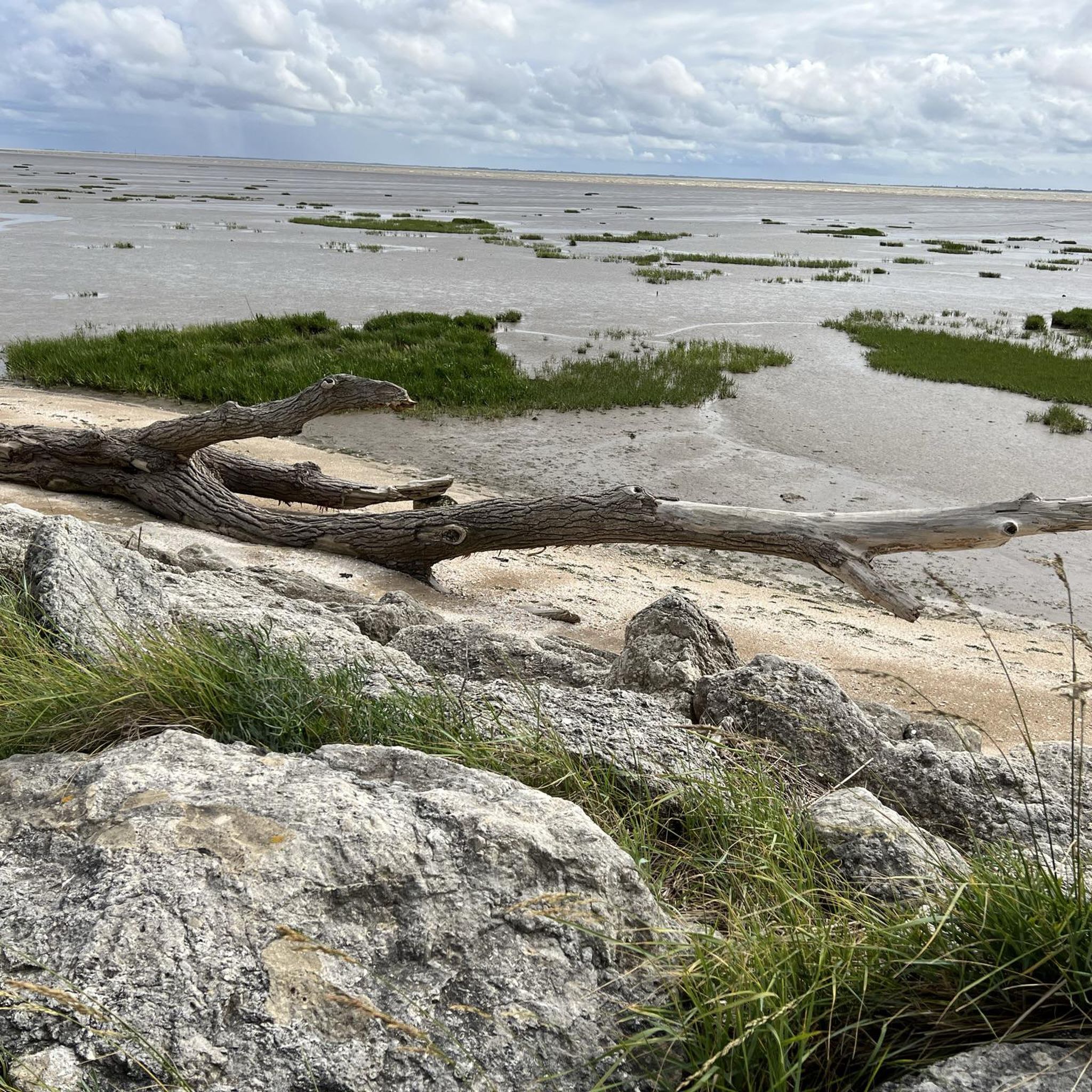
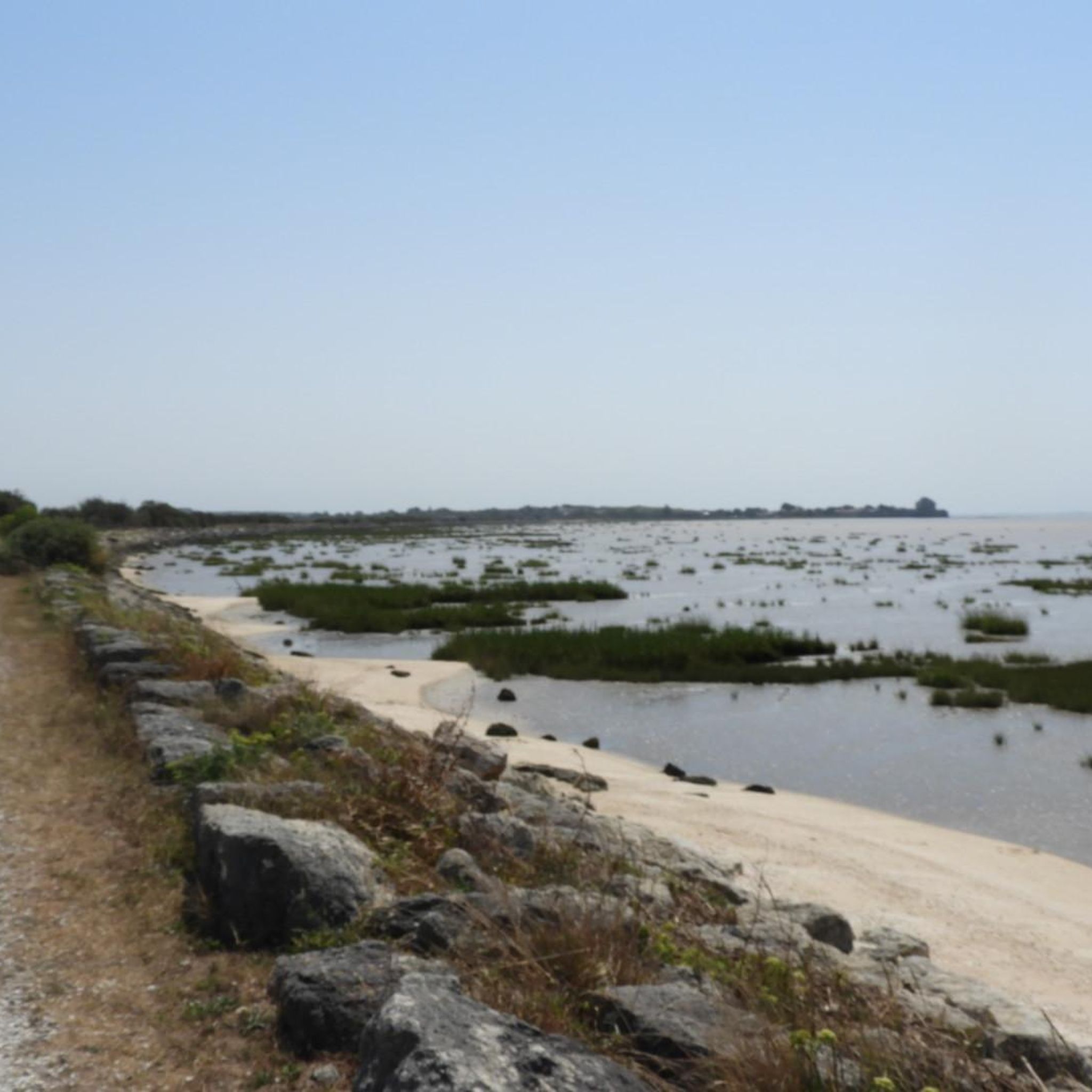
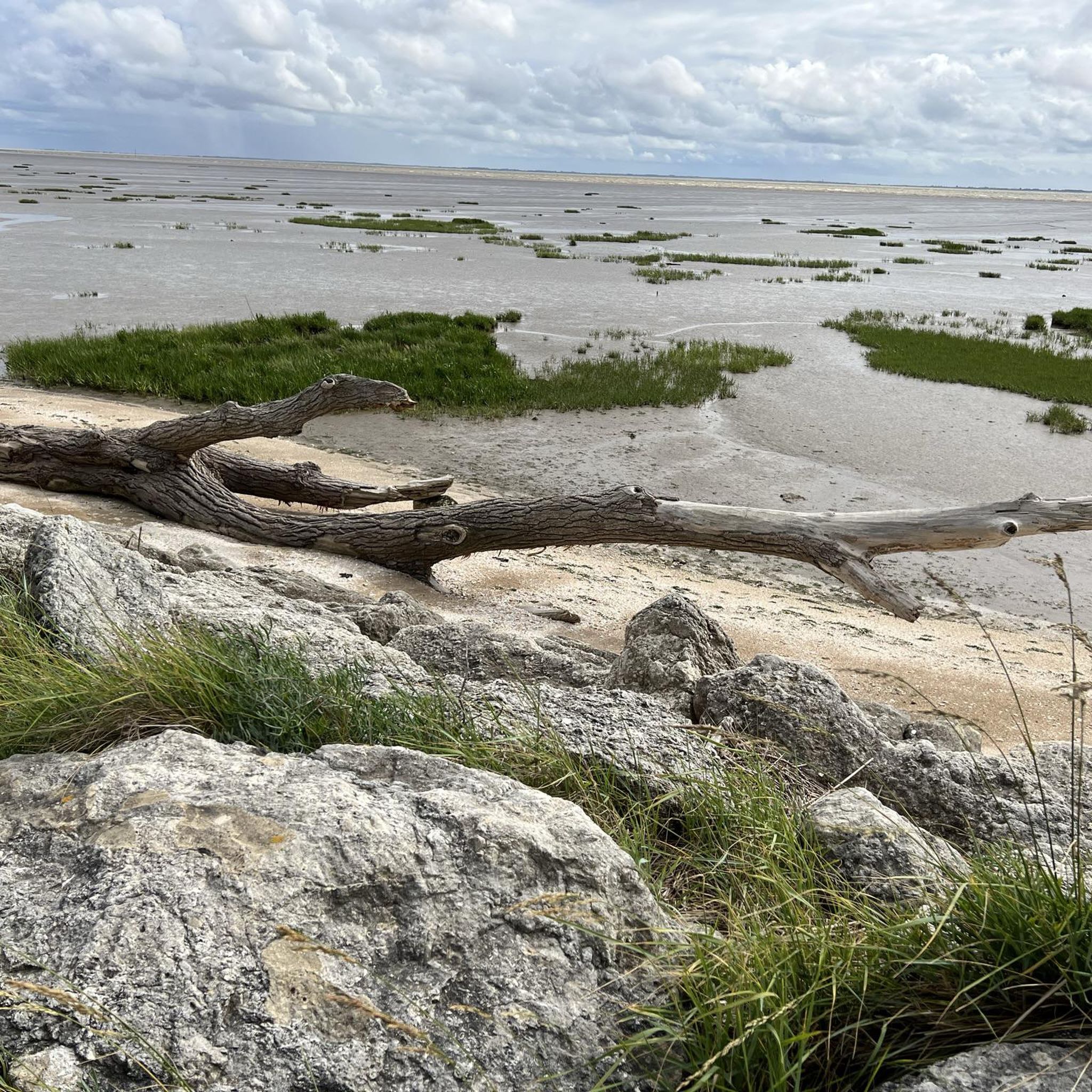
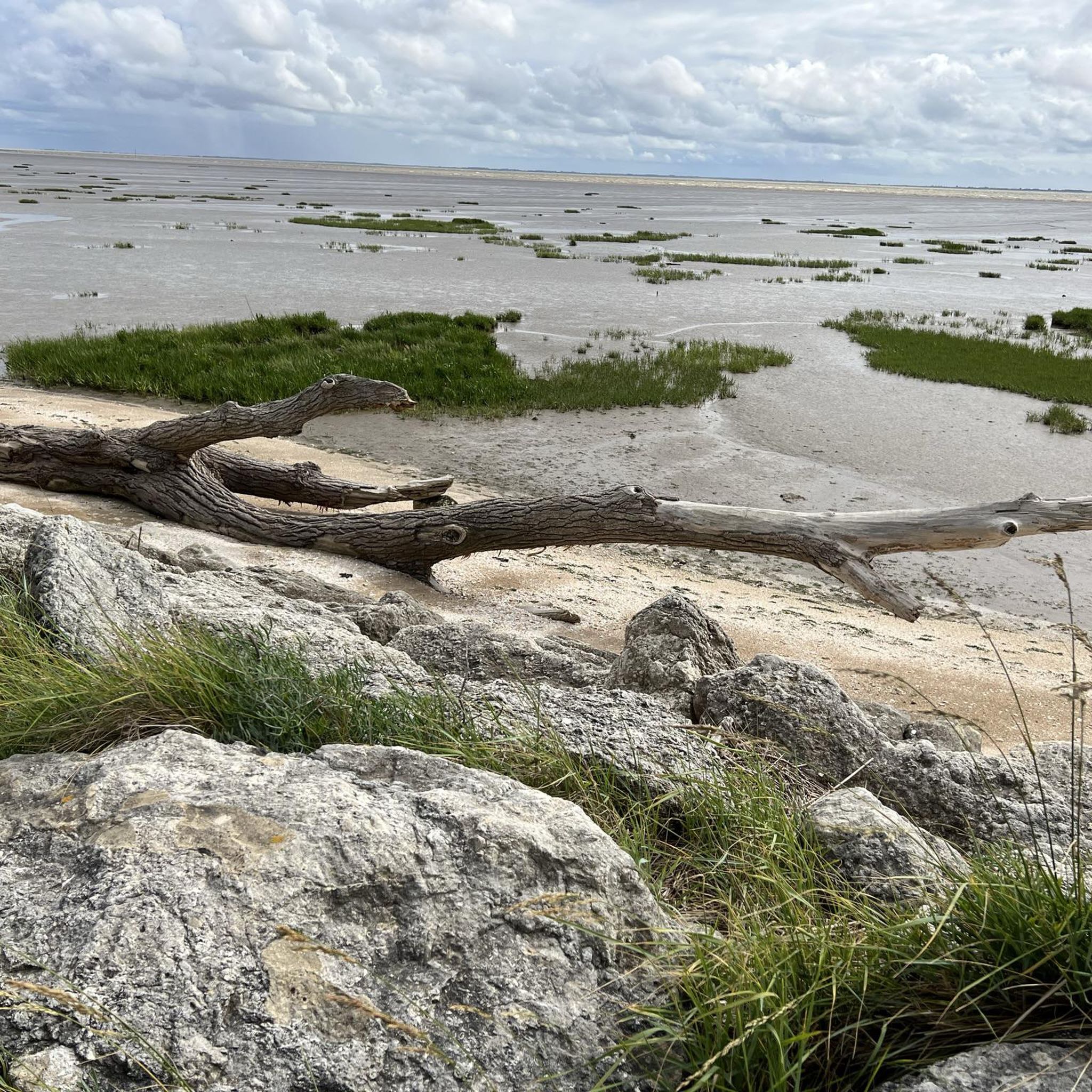
Tips from the Community

🏛️ Construction: 18-19 AD The arch was built around 18-19 AD, during the reign of Emperor Tiberius. It stood at the entrance to the Roman bridge crossing the Charente, at the outlet of the Via Agrippa, which connected Lyon to Saintes. It is therefore not truly a "triumphal arch": it was both a road monument and a monumental gate marking the entrance to Mediolanum Santonum, the capital of Roman Aquitaine. 👤 Who had it built? The arch was financed by Caius Julius Rufus, a Romanized notable from Saintonge. He dedicated it to Tiberius as well as his nephew Germanicus. The inscriptions engraved on the entablature still allow us today to know the figures to whom it was dedicated. The name "Arch of Germanicus" therefore comes from this dedication, and not from the fact that Germanicus personally had the arch built or crossed it. 🏗️ A rather exceptional monument The arch has two bays, likely allowing for the differentiation of traffic flows. It measures approximately 15 m high by 16 m wide. Its Corinthian and composite capitals bear witness to particularly meticulous Roman architecture. It constituted a true demonstration of the power and Romanization of Saintes. ⚠️ The moment the arch almost disappeared This is probably the most interesting episode in its history. For centuries, the arch was always located at the level of the Roman bridge and then the medieval bridge, on the right bank of the Charente. In the 19th century, the old bridge had become dilapidated. When it was decided to demolish it, around 1843, the arch was also threatened with destruction. It was then that Prosper Mérimée, Inspector General of Historical Monuments, intervened. He advocated for its preservation and arranged for its dismantling, relocation, and reassembly on the new bank. Another figure is also associated with this preservation: Victor Hugo, who stayed in Saintes in September 1843 and intervened in favor of the monument's conservation with Mérimée. 📍 Why is the arch no longer exactly in its ancient location? The arch we see today, on Place Bassompierre, is therefore no longer in its original location. It was moved a few dozen meters during the transformation of the quays and the disappearance of the old bridge. It was dismantled stone by stone and then reassembled in order to preserve it. It is now located in the immediate vicinity of the ancient Roman bridge crossing. 🏛️ Protection The Arch of Germanicus was finally classified as a historical monument in July 1905. An interesting detail The Crazannes quarries, located near Saintes, supplied a limestone widely used in the region's ancient constructions. Crazannes stone was notably used for monuments such as the Arch of Germanicus. In summary: 18-19 → construction of the arch at the entrance to the Roman bridge ↓ Antiquity → Middle Ages → the arch remains associated with the crossing of the Charente ↓ 1843 → demolition of the old bridge and threat to the arch ↓ 1843-1844 → Mérimée's intervention and relocation of the arch ↓ 1905 → classified as a Historical Monument
0
0

For this nature and its church
0
0
Very nice walk or bike ride
0
0


beautiful passages along the Charente with pretty monuments and small waterfront cafés in Port d’Envaux and Saintes.
0
0


Pirelonge Tower in Saint-Romain-de-Benet. The Pirelonge Tower is a Gallo-Roman stone tower. This monument, certainly built under the Roman Empire on the edge of the ancient road linking Saintes to Bordeaux, is a cenotaph in the form of a solid column, 24 m high, with a square section, crowned by a cone. (Wikipedia). Listed as a Historic Monument.
0
0
Frequently Asked Questions
What kind of terrain can I expect on gravel bike trails around Grézac?
Gravel biking around Grézac offers a diverse landscape characterized by an agricultural mosaic of fields, groves, and vineyards. You'll encounter a network of unpaved farm roads and tracks, with some routes providing views towards the Seudre river and the Gironde estuary from elevated points. The countryside is generally rolling, providing engaging terrain for gravel cyclists.
How many gravel bike trails are available in the Grézac area?
There are over 10 gravel bike trails available around Grézac, catering to various skill levels. The komoot community has explored these routes extensively, with over 99 gravel bikers using komoot to discover the area's varied terrain.
Are there any family-friendly gravel routes suitable for beginners?
Yes, Grézac offers routes suitable for beginners and families. While specific 'easy' routes are available, many of the trails utilize the region's network of farm roads and existing cycling circuits, which are generally accessible. The area's pump track also provides a fun, family-friendly option for honing bike handling skills.
What are some scenic viewpoints or landmarks I can see along the gravel trails?
Many gravel trails in Grézac offer scenic views and pass by interesting landmarks. You can enjoy coastal vistas and sections along the Royan promenade on routes like Carrelets de Royan – Royan Promenade and Beach loop from Saint-Georges-de-Didonne. Other routes provide views of the La Roche cliff, and you might encounter historical elements like the Alluchons windmill or the 11th-century Saint-Symphorien church in the village center. For specific natural beauty, consider visiting Saint-Georges-de-Didonne Beach or exploring the Suzac Forest.
Are there any circular gravel bike routes around Grézac?
Yes, many of the gravel routes around Grézac are designed as loops, allowing you to start and end at the same point. For example, the View of the La Roche cliff – Royan Promenade and Beach loop from Talmont-sur-Gironde is a popular moderate circular path that includes scenic coastal sections.
What is the best time of year to go gravel biking in Grézac?
The Saintonge countryside around Grézac is enjoyable for gravel biking through much of the year. Spring and autumn generally offer pleasant temperatures and beautiful scenery, with the agricultural fields changing colors. Summer can be warm, but early mornings or late afternoons are often ideal. Winter rides are possible, though some unpaved tracks might be muddier after rain.
Where can I find parking for gravel bike trails in Grézac?
Parking availability varies by the starting point of each route. Many trails begin from towns or villages that offer public parking. For instance, routes starting from Cozes, Saint-Georges-de-Didonne, or Talmont-sur-Gironde typically have designated parking areas nearby, making it convenient to access the trails.
Can I access gravel bike trails in Grézac using public transport?
While Grézac itself is a rural commune, some larger towns in the vicinity, which serve as starting points for longer gravel routes, may have public transport connections. It's advisable to check local bus or train schedules for services to towns like Royan or Cozes if you plan to combine your ride with public transport, keeping in mind bike carriage policies.
Are there any longer or more challenging gravel routes for experienced riders?
Yes, Grézac offers routes that cater to more experienced riders looking for longer distances. For example, the Cathedral of Saintes – View of the Arch of Germanicus loop from Montpellier-de-Médillan is a moderate 63.3 km trail with significant elevation gain, providing a more demanding ride through varied countryside.
What do other gravel bikers enjoy most about the routes in Grézac?
The gravel routes in Grézac are highly rated by the komoot community, with an average score of 4.85 stars from over 15 reviews. Riders often praise the tranquil rural escape, the diverse agricultural landscapes, and the engaging mix of unpaved farm roads and tracks. The coastal views and historical landmarks along some routes are also frequently highlighted as enjoyable aspects.
Are there any dog-friendly cycling routes in the Grézac area?
Many of the rural tracks and quiet country roads around Grézac are suitable for cycling with dogs, provided they are well-behaved and kept under control, especially when passing through agricultural areas or near livestock. Always ensure your dog is comfortable with the distance and terrain, and carry enough water for both of you. Specific designated dog-friendly trails are not explicitly marked, so discretion is advised.
Are there cafes or places to eat along the gravel bike trails?
While the immediate gravel trails often pass through rural areas, you'll find cafes, restaurants, and small shops in the villages and towns that serve as starting points or pass-through points for many routes. For instance, routes like the Boulevard du Marais – View of the La Roche cliff loop from Cozes will bring you close to amenities in Cozes, where you can refuel.
What are some unique natural features to look out for on the trails?
Beyond the agricultural mosaic, keep an eye out for the presence of the 'Seudre douce' (gentle Seudre) to the north and views towards the Gironde estuary from higher points. You might also encounter natural highlights such as the Grottes de Matata or the Caillaud cliff at Talmont sur Gironde, which add to the region's natural charm.
Most popular attractions around Grézac

Get inspired with the komoot mobile app


Explore more
Browse the best Gravel rides in other regions.
