The best mountain hikes around Nébouzat
4.8
(6)
41
hikers
3
hikes
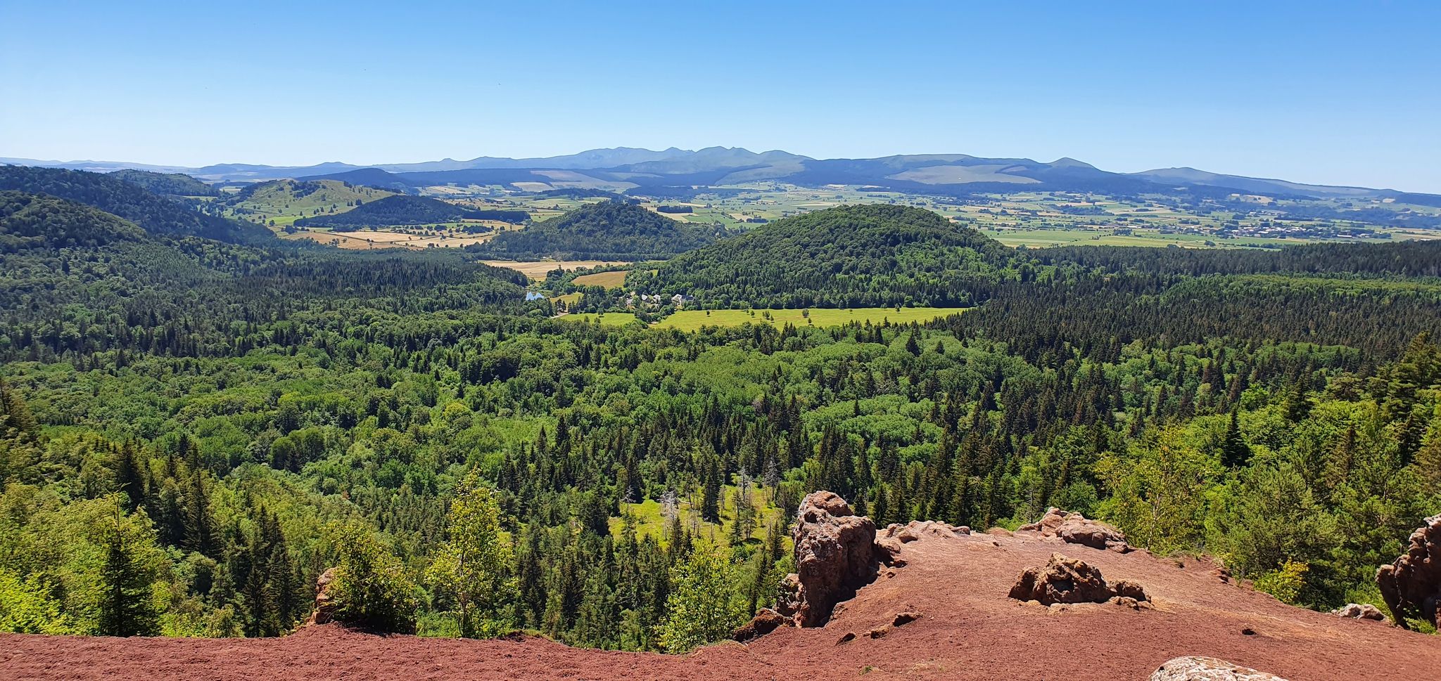
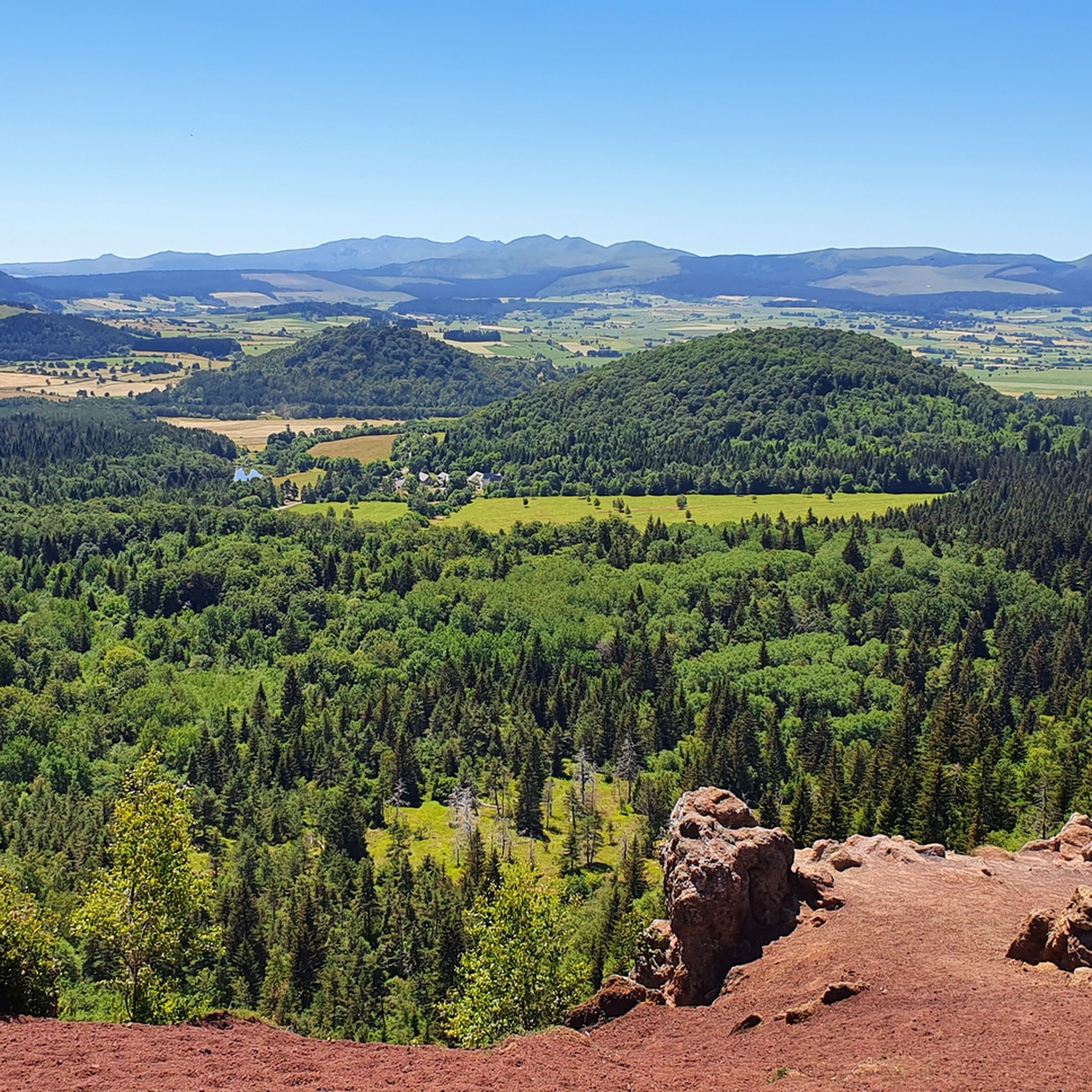
Mountaineering routes around Nébouzat are situated at the foot of the Chaîne des Puys, a UNESCO World Heritage site known for its unique volcanic landscape. The region features prominent volcanic peaks such as Puy de Dôme, Puy de Côme, and Puy Pariou, offering diverse terrain for outdoor activities. The area is characterized by verdant forests covering 34% of its surface and prairies, with the Gigeole stream and Cascade des Saliens adding to the natural features.
Best mountaineering routes around Nébouzat
…Last updated: July 1, 2026
4.5
(4)
37
hikers
4.95km
01:54
360m
360m
Moderate mountaineering route. Good fitness required. Easily-accessible paths. Suitable for all skill levels.
5.0
(1)
2
hikers
3.26km
01:06
150m
150m
Easy mountaineering route. Great for any fitness level. Easily-accessible paths. Suitable for all skill levels.

Sign up for free
5.0
(1)
2
hikers
Hard mountaineering route. Good fitness required. Sure-footedness, sturdy shoes and alpine experience required.
Our route recommendations are based on thousands of hikes, rides, and runs completed by other people on komoot.
Start today with a free account
Your next adventure awaits.
Login or Signup

Other adventures around Nébouzat

Tips from the Community

It's better to go up via Ceyssat and come back down via Orcines. The climb still hurts but there's less traffic and the descent is worth it 😉
0
0

Possibility of having a drink and/or something to eat just opposite the pass sign
0
0


Very beautifully preserved and restored temple complex.
0
0

Superb views of the Monts Dore, regular climb with “steps” made of wooden logs.
0
0

Steeeeeeep climb, but the view keeps getting better with every corner.
0
0

Heavy slope, but very beautiful. 350 altimeters for about 2200m.
0
0

Beautiful views of the Puy de Dôme and volcanoes
0
0
Frequently Asked Questions
How many mountaineering routes are available around Nébouzat?
There are 5 mountaineering routes detailed in this guide for the Nébouzat area. These routes offer a range of experiences, from easy walks to more challenging ascents, all set within the unique volcanic landscape of the Chaîne des Puys.
Are there any easy mountaineering routes for beginners or families?
Yes, Nébouzat offers several easy mountaineering routes suitable for beginners or families. For instance, the Puy de Lassolas loop from Puy de la Vache is an easy 2.7-mile (4.4 km) path that explores the volcanic landscape. Another accessible option is the Mountaineering loop from Puy de la Vache, which is 3.1 miles (5.0 km) long and also rated as easy.
What kind of terrain can I expect on mountaineering routes in Nébouzat?
The terrain around Nébouzat is primarily defined by its volcanic origins, being at the foot of the Chaîne des Puys. You can expect varied landscapes including prominent volcanic peaks, verdant forests covering 34% of the area, and open prairies. Some routes may feature challenging sections, requiring good physical condition and sturdy shoes, while others are gentler paths through lush greenery.
Are there any circular mountaineering routes in the area?
Yes, many of the mountaineering routes around Nébouzat are circular, allowing you to start and end at the same point. Examples include the Puy de Dôme loop from Puy de Dôme, the Puy de Lassolas loop from Puy de la Vache, and the Ceyssat Pass – Puy de Dôme Summit loop from Chaîne des Puys. These loops offer diverse scenery and varying levels of difficulty.
What natural attractions or landmarks can I see along the mountaineering routes?
Mountaineering routes in Nébouzat offer access to several notable natural attractions and landmarks. You can explore the majestic Puy de Dôme Summit, the highest volcano in the Chaîne des Puys, offering extraordinary panoramic views. Other highlights include Puy de la Vache, the Puy Pariou summit and crater, and the Puy Pariou Staircase. The picturesque Cascade des Saliens (Saliens waterfall) formed by the Gigeole stream is also a beautiful feature in the region.
Are there any challenging mountaineering routes for experienced hikers?
For experienced mountaineers seeking a challenge, the Clierzou Caves – Bruyères des Moines loop from Parking du camp de la Fontaine du Berger is a difficult 5.6-mile (9.1 km) route. This trail offers significant elevation changes and rewards with magnificent views of the volcanic peaks and geological curiosities like the 'coulée de lave d'Olby'.
What do other mountaineers say about the routes in Nébouzat?
The mountaineering routes in Nébouzat are highly regarded by the komoot community, holding an impressive average score of 4.9 stars from over 7 reviews. Users frequently praise the diverse volcanic landscapes, the well-maintained trails, and the stunning panoramic views from peaks like Puy de Dôme.
Is it possible to reach the trailheads by public transport?
While specific public transport details for each trailhead are not provided, Nébouzat is a commune within the Puy-de-Dôme department. It's advisable to check local public transport services for connections to the general area, though many trailheads in volcanic regions often require personal vehicle access or a short taxi ride from nearby towns.
What is the best time of year for mountaineering in Nébouzat?
The region's lush greenery and diverse landscapes are best enjoyed during spring, summer, and early autumn. These seasons typically offer favorable weather conditions for exploring the volcanic peaks and extensive trail network. Winter mountaineering is possible but may require specialized gear and experience due to snow and ice conditions, especially at higher elevations.
Are there any routes that pass through traditional villages or offer cultural insights?
Many hiking routes in the Nébouzat area are known to pass through charming hamlets that have preserved traditional architecture, complete with fountains and washhouses. While specific routes in this guide aren't detailed for cultural stops, exploring the wider network often reveals these picturesque villages, offering a glimpse into the local heritage amidst the natural beauty.
Are there any waterfalls to see on the mountaineering routes?
Yes, the Gigeole stream, an affluent of the Sioule river, flows through Nébouzat and forms the picturesque Cascade des Saliens (Saliens waterfall), which plunges about 10 meters. While not directly on every mountaineering route listed, there are easier and moderate walks in the region that specifically feature the 'Waterval van Saliens'.
Most popular routes around Nébouzat
Most popular attractions around Nébouzat

Get inspired with the komoot mobile app


Explore more
Browse the best Mountain Hikes & Routes in other regions.
