The best walks and hikes around Kasendorf
4.7
(832)
3,022
hikers
88
hikes
Hiking around Kasendorf offers diverse natural features within Upper Franconia, characterized by rolling hills, dense forests, and unique Jura landscapes. The region, often referred to as "Klein Berchtesgaden," is part of Franconian Switzerland and the "Upper Main's Garden of Eden." Hikers can explore the Kasendorfer Forst and paths along the Weiße Main river, encountering impressive rock formations and panoramic viewpoints.
Best hiking trails around Kasendorf
- The most popular hiking route is Dr. Fritz Hornschuh Nature Trail, a 5.5 miles…
Last updated: October 10, 2026
4.7
(127)
428
hikers
8.92km
02:35
230m
230m
Moderate hike. Good fitness required. Easily-accessible paths. Suitable for all skill levels.
4.7
(125)
423
hikers
8.60km
02:31
240m
240m
Moderate hike. Good fitness required. Easily-accessible paths. Suitable for all skill levels.

4.9
(153)
531
hikers
Moderate hike. Good fitness required. Easily-accessible paths. Suitable for all skill levels.
4.5
(26)
79
hikers
6.29km
01:40
60m
60m
Easy hike. Great for any fitness level. Easily-accessible paths. Suitable for all skill levels.
4.5
(8)
48
hikers
6.85km
01:51
90m
90m
Easy hike. Great for any fitness level. Easily-accessible paths. Suitable for all skill levels.
Get access to more routes and recommendations from other explorers.
Already have an account?
Our route recommendations are based on thousands of hikes, rides, and runs completed by other people on komoot.
Start today with a free account
Your next adventure awaits.
Popular around Kasendorf
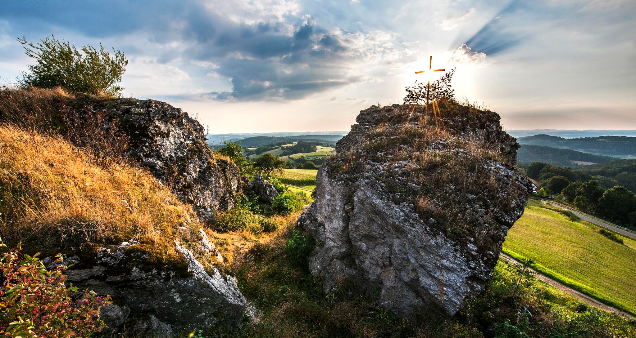
Fun hiking and wonderful views in Franconian Switzerland
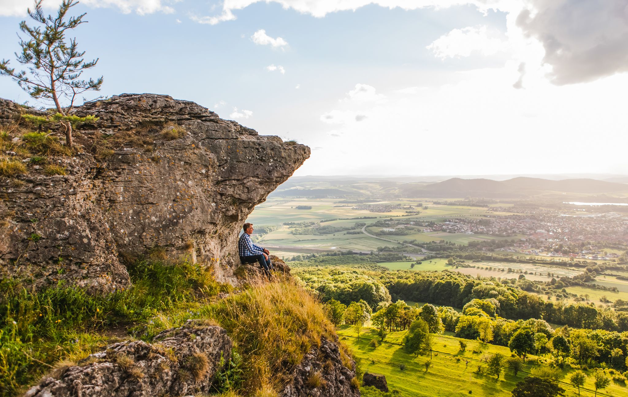
Our 10 favourite Tours through Upper Main’s Garden of Eden
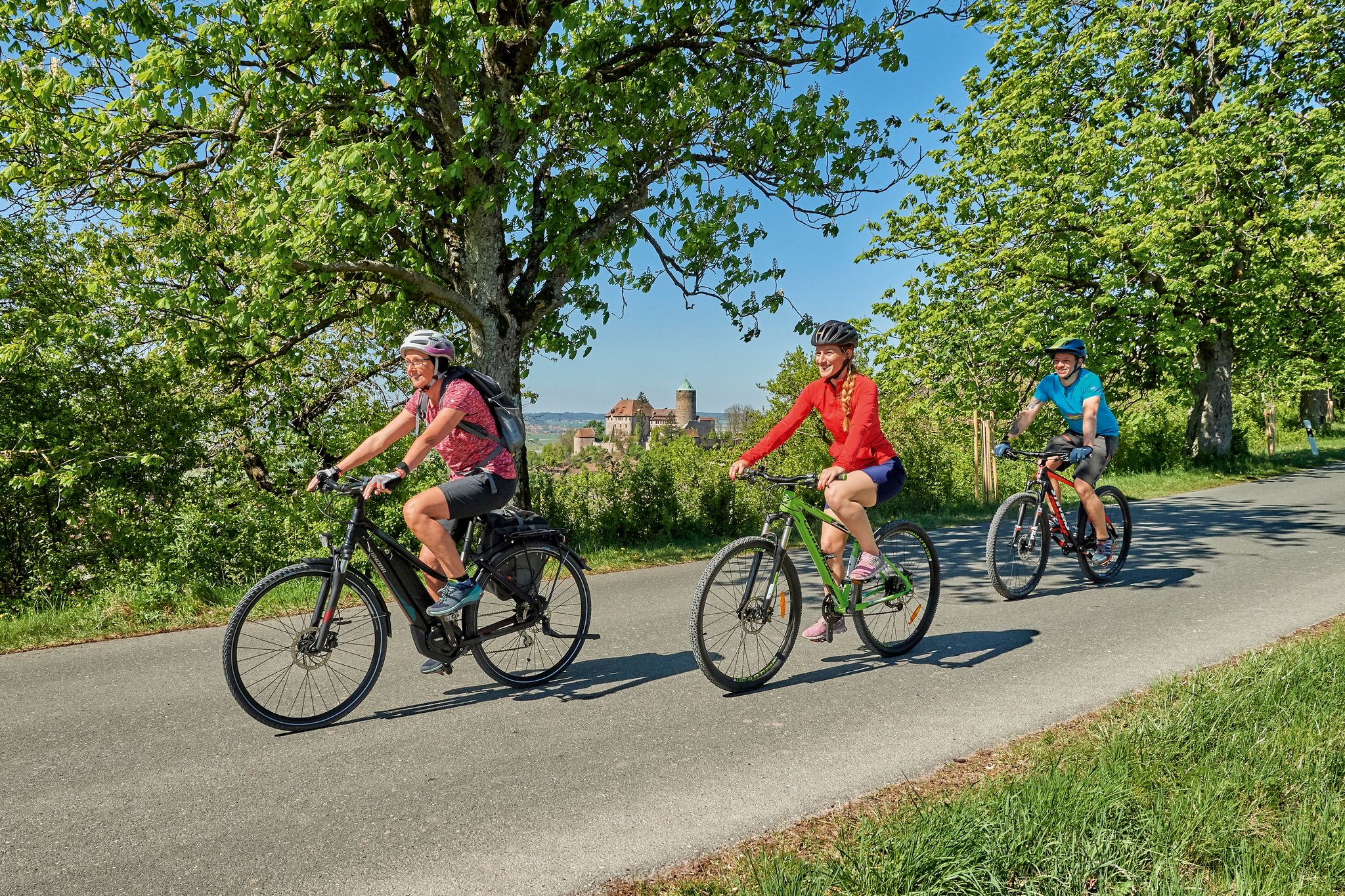
Magnificent cycling holidays — e-bike Tours through Franconia
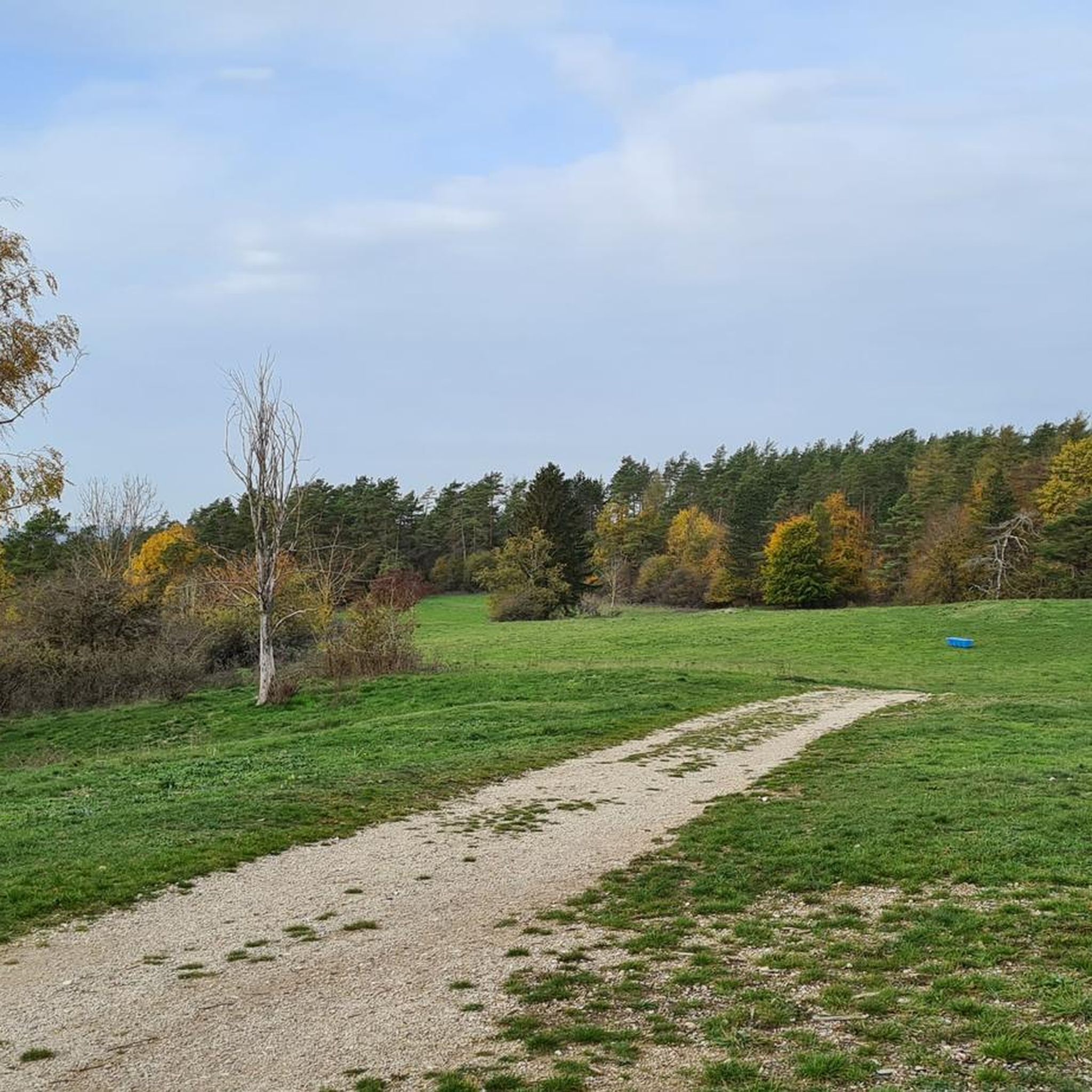
Cycling around Kasendorf
Road Cycling Routes around Kasendorf
Running Trails around Kasendorf
MTB Trails around Kasendorf
Gravel biking around Kasendorf
Other adventures around Kasendorf


Tips from the Community

North-northeast of Schirradorf, not far from the A70 motorway, lies the Oberes Schwalbachtal, a fascinating dry valley that ranks among the most impressive geotopes in the Bavarian environmental atlas. As rainwater immediately seeps into the porous karst rock of the former Jurassic sea, this upper section of the valley is dry most of the year. Only after snowmelt or heavy rainfall do episodic springs – the so-called ‘Hungerbrunnen’ (hunger springs) like the Prophetenbrunnen or Schindersbrunnen – spectacularly come to life. For explorers and hikers, the valley offers a wild and romantic backdrop in a confined space: along the shady paths, imposing, rugged rock towers of light dolomite rise up. The visual highlight is a bizarre rock basin, framed by two steep rock towers, behind which a two-story half-cave opens up.
3
0
Northeast of Schirradorf, not far from the A70 motorway, the Oberes Schwalbachtal stretches out, a fascinating dry valley that ranks among the most impressive geotopes in the Bavarian environmental atlas. Since the rainwater immediately seeps into the porous karst rock of the former Jurassic sea, this upper valley section is dry most of the year. Only after the snowmelt or after heavy rainfall do episodic springs – the so-called ‘Hungerbrunnen’ (hunger springs) like the Prophetenbrunnen or Schindersbrunnen – spectacularly come to life. For explorers and hikers, the valley offers a wild and romantic backdrop in a confined space: along the shady paths, imposing, rugged rock towers of light-colored dolomite rise up. The visual highlight is a bizarre rock cauldron, framed by two steep rock towers, behind which a two-story half-cave opens up.
3
0

beautiful spot to rest and enjoy the great view
0
0

At Görauer Anger there was once a blasting site of the US armed forces. After 1945, huge quantities of Wehrmacht ammunition were destroyed here – often uncontrolled and with devastating consequences. Not only was nature devastated, but two children also lost their lives here. The information board provides details about the events, the memorial site is 40 meters away.
15
0
The Görauer Anger is a popular area for kite and paragliding. It offers a distinct terrain edge with a wide view. There is a natural launch ramp above the former ski slope near Zultenberg.
15
0
Those who delve into the history of the Görauer Anger beyond the magnificent view will encounter a dark chapter from the post-war period. After 1945, huge quantities of Wehrmacht ammunition were destroyed here by the US forces – often uncontrolled and with devastating consequences. Two children had to die because they found an unexploded ordnance, which detonated. Nine children were injured. This memorial commemorates them.
16
0
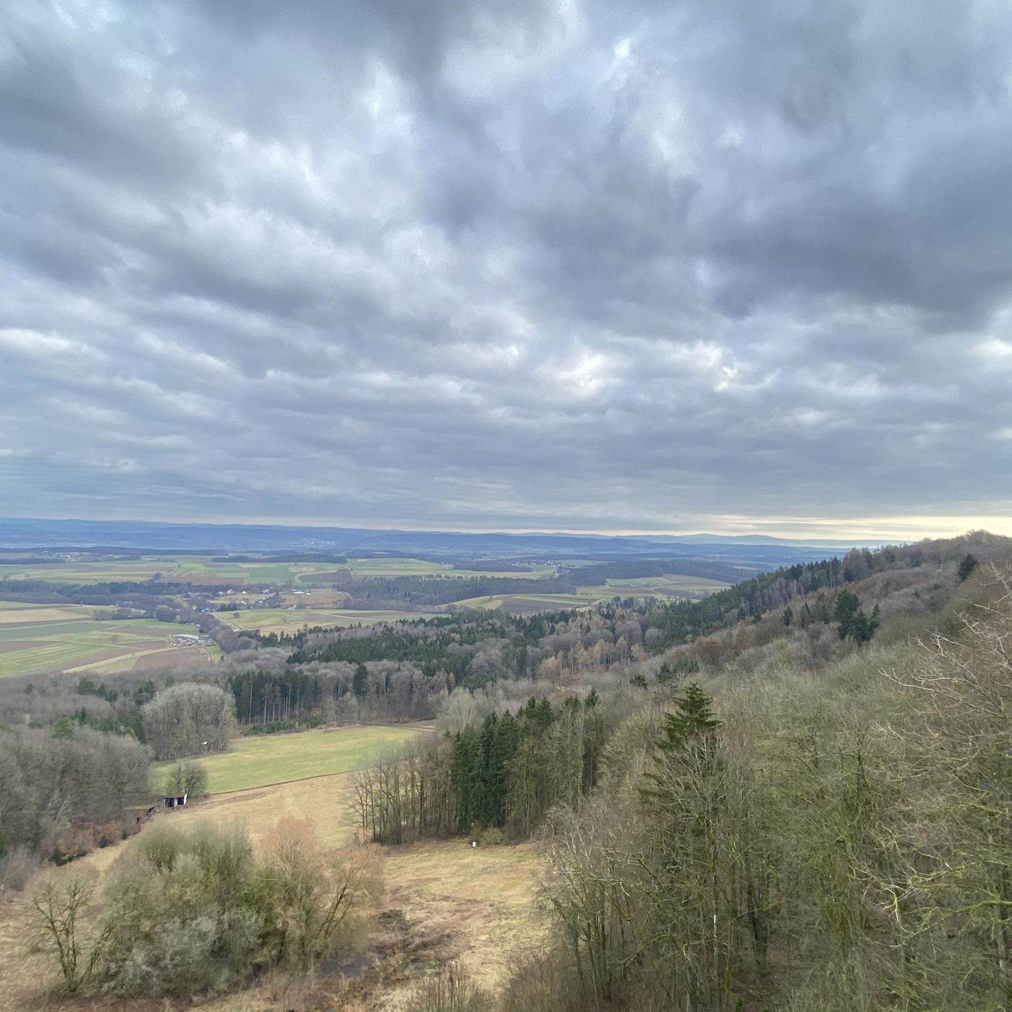
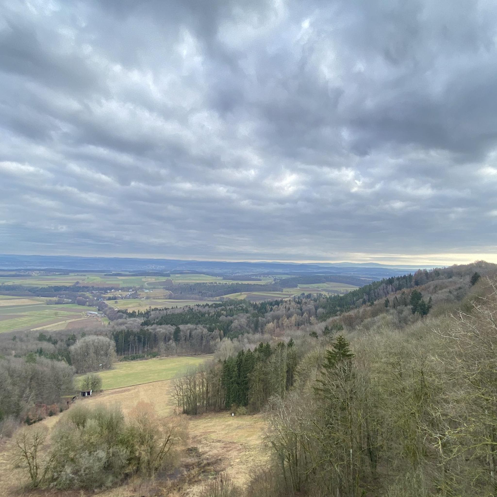
Here at the summit cross, you'll find one of the most beautiful resting places in the region. The massive wooden bench with a table invites you to enjoy a cozy snack right at the edge of the cliff. From there, you have a magnificent panoramic view over the Maintal valley, all the way to the Kulmbach region and the Fichtelgebirge mountains.
15
0

Design: This is a handcrafted, approximately two-meter-high panoramic heart made of steel, bearing the inscription "Görauer Anger." Function: The structure serves as a selfie spot and picture frame for the Jura landscape. It is equipped with a rotating seat. Location: The sculpture is located on the Görauer Anger, a scenic plateau on the edge of the Swabian Alps, offering views of the Kulmbach region and Plassenburg Castle.
1
1
Frequently Asked Questions
How many hiking trails are available around Kasendorf?
There are over 90 hiking trails around Kasendorf, offering a wide variety of options for all skill levels. The komoot community has explored more than 3,100 routes in the area.
What kind of terrain can I expect when hiking in Kasendorf?
The terrain around Kasendorf is characterized by rolling hills, dense forests, and unique Jura landscapes. You'll find well-signposted paths through the Kasendorfer Forst and picturesque trails along the Weiße Main river, often featuring impressive rock formations and panoramic viewpoints.
Are there any family-friendly hiking trails in Kasendorf?
Yes, Kasendorf offers several trails suitable for families. Paths along the Weiße Main river are particularly noted for their picturesque views and are great for family outings. Many of the 47 easy routes in the area are also suitable for families.
Can I bring my dog on the hiking trails in Kasendorf?
Generally, dogs are welcome on hiking trails in Kasendorf. However, it's always advisable to keep your dog on a leash, especially in nature reserves or areas with wildlife, and to check specific trail regulations before you go.
Are there any circular hiking routes in Kasendorf?
Yes, many of the trails around Kasendorf are circular routes. For example, the View from Görauer Anger – Görauer Anger Heart Sculpture loop from Zultenberg is an easy 5.5 km circular trail, and the Felsensteig Rock Passage – View from the ruins of Niesten Castle loop from Zultenberg offers a moderate 14.6 km circular experience.
What are the best times of year to go hiking in Kasendorf?
The best seasons for hiking in Kasendorf are spring and autumn. During these times, the weather is mild, and the natural scenery is at its most vibrant, making for a very pleasant hiking experience.
Are there any waterfalls or gorges to explore on hikes near Kasendorf?
Yes, the region around Kasendorf features several natural attractions including gorges and waterfalls. You can explore highlights like the Devil’s Hole Waterfalls, the Veitlahm Waterfall, or the Aftergraben Gorge. The Felsensteig Rock Passage is also a notable gorge feature.
What are some notable landmarks or viewpoints I can see while hiking?
Kasendorf offers numerous landmarks and stunning viewpoints. The Görauer Anger plateau provides expansive vistas over the Kulmbacher Land and the Plassenburg castle, featuring a popular 'heart sculpture'. You can also visit the historic Niesten Castle ruins, or ascend to the Neideck Castle Ruins for spectacular valley views. The Magnusturm observation tower also offers excellent panoramic views.
What do other hikers say about the trails in Kasendorf?
The hiking routes in Kasendorf are highly rated by the komoot community, with an impressive average score of 4.7 stars from over 750 reviews. Hikers often praise the diverse landscapes, well-maintained paths, and the unique natural features of the 'Klein Berchtesgaden' region.
Are there any easy hiking options for beginners or casual walkers?
Absolutely! Kasendorf has 47 easy routes perfect for beginners or those looking for a relaxed stroll. An example is the View from Görauer Anger – Görauer Anger Heart Sculpture loop from Zultenberg, an easy 5.5 km trail that takes about 1 hour 27 minutes to complete.
Where can I find refreshments or a place to eat after a hike?
Kasendorf and its surrounding villages offer various options for refreshments. While specific cafes or pubs aren't listed in the trail data, the region is known for its hospitality, and you'll find local establishments to enjoy a meal or a drink after your hike.
Are there any challenging routes for experienced hikers?
Yes, for experienced hikers seeking more challenge, Kasendorf offers 7 difficult routes. Additionally, moderate trails like the Felsensteig Rock Passage – View from the ruins of Niesten Castle loop from Zultenberg, at 14.6 km with significant elevation gain, provide a good workout and captivating scenery.
What makes the landscape around Kasendorf unique for hiking?
The landscape around Kasendorf is unique due to its designation as 'Klein Berchtesgaden' and its location within Franconian Switzerland and the 'Upper Main's Garden of Eden'. It features a distinctive Jura landscape with rolling hills, dense forests, and impressive rock formations, offering a diverse and picturesque hiking environment.
Most popular routes around Kasendorf
Most popular attractions around Kasendorf

Get inspired with the komoot mobile app


Explore more
Browse the best Hikes in other regions.
