The best walks and hikes around La Courtine
5.0
(3)
37
hikers
5
hikes
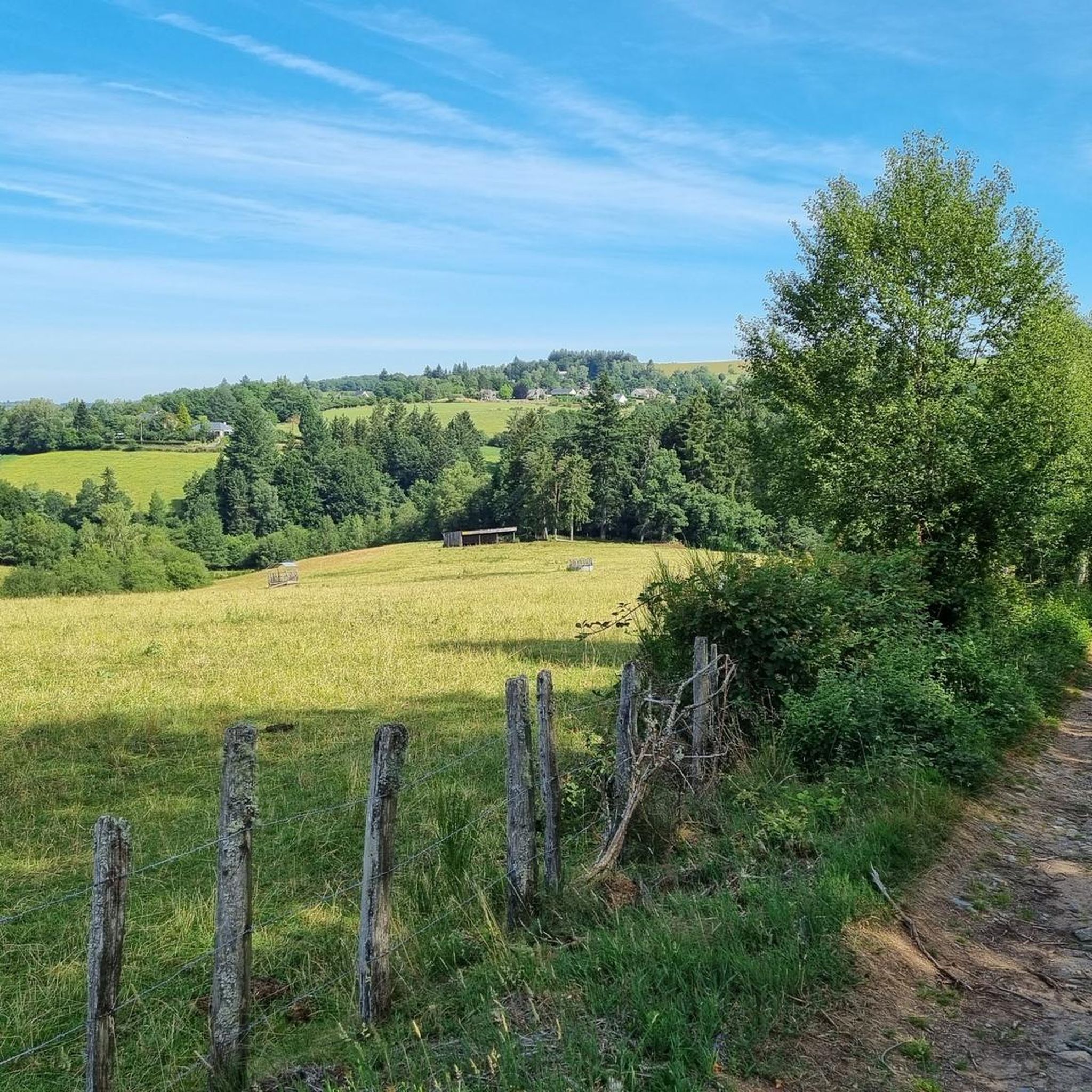
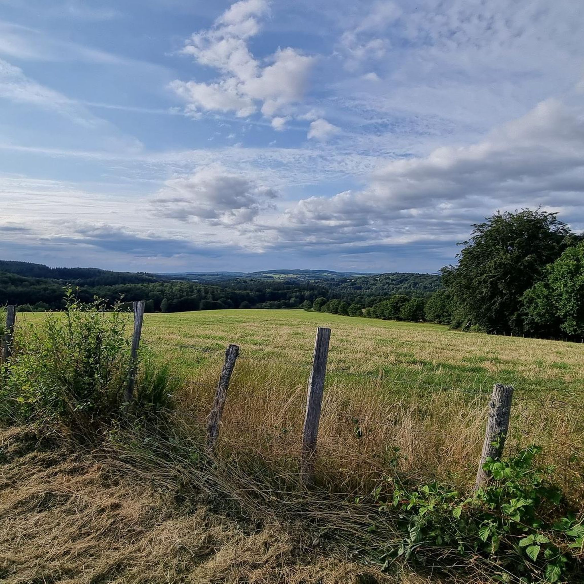
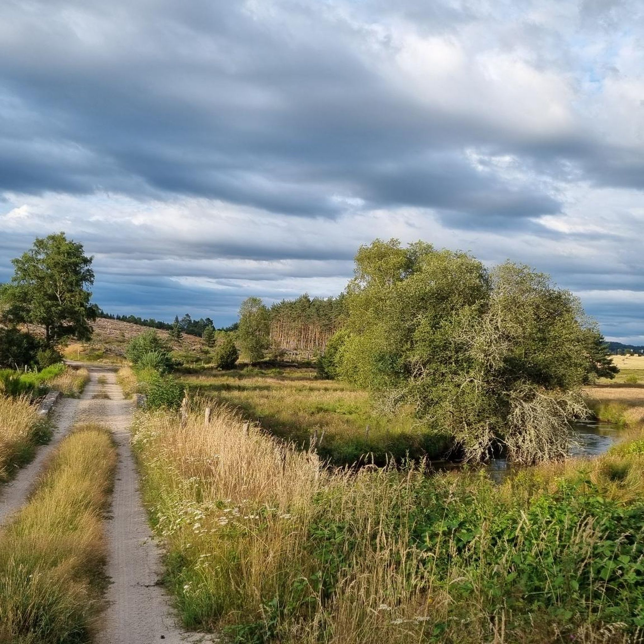
Hiking around La Courtine offers exploration of a preserved rural environment within the Millevaches Regional Natural Park in Limousin. The area is characterized by the Millevaches plateau, with elevations ranging from 714 to 895 meters above sea level. The landscape features extensive forests, covering over half of its surface, alongside grassy meadows. Several rivers, including the Liège and the Breuil, traverse the region, contributing to its natural setting.
Best hiking trails around La Courtine
- The most popular hiking route is…
Last updated: July 1, 2026
11
hikers
3.80km
01:01
40m
40m
Easy hike. Great for any fitness level. Easily-accessible paths. Suitable for all skill levels.
4
hikers
10.2km
02:46
140m
140m
Moderate hike. Good fitness required. Easily-accessible paths. Suitable for all skill levels.

Sign up for free
6
hikers
3.88km
01:07
100m
100m
Easy hike. Great for any fitness level. Easily-accessible paths. Suitable for all skill levels.
5.0
(2)
6
hikers
7.41km
02:01
110m
110m
Moderate hike. Good fitness required. Easily-accessible paths. Suitable for all skill levels.
6
hikers
28.3km
07:47
460m
460m
Hard hike. Very good fitness required. Easily-accessible paths. Suitable for all skill levels.
Our route recommendations are based on thousands of hikes, rides, and runs completed by other people on komoot.
Start today with a free account
Your next adventure awaits.
Login or Signup

Tips from the Community

In a beautiful green site, the enclosure and the ruins of a Gallo-Roman villa from the beginning of our era are well highlighted by a few informative panels.
0
0
Frequently Asked Questions
How many hiking trails are available around La Courtine?
There are over 25 hiking trails available around La Courtine, offering a variety of options for different skill levels and preferences. These routes allow you to explore the preserved rural environment of the Millevaches Regional Natural Park.
What kind of terrain can I expect when hiking in La Courtine?
Hikes in La Courtine primarily traverse the Millevaches plateau, characterized by extensive forests (covering over half the area) and grassy meadows. You can expect a mid-mountain climate with elevations ranging from 714 to 895 meters above sea level, offering varied terrain and gentle ascents.
What is the general difficulty level of hikes in La Courtine?
The hiking trails around La Courtine cater to various abilities. You'll find a good mix, with 8 easy routes, 15 moderate routes, and 2 more challenging options. This ensures there's something for everyone, from leisurely strolls to more demanding day hikes.
Are there any notable natural features or viewpoints to discover on hikes near La Courtine?
Yes, several hikes offer beautiful natural features and panoramic views. Circuits like the Bois de la Rame trail provide distant views of the Auvergne mountains, including the Puy de Dôme and the Sancy massif. The region is also traversed by rivers like the Liège and Breuil, and while not directly in La Courtine, larger water bodies like Lac de Vassivière and Lac du Guery are within reasonable driving distance for further exploration.
Can I find any scenic circular walks in the La Courtine area?
Absolutely. Many routes around La Courtine are circular, allowing you to start and end at the same point. For example, the Étang de Grattadour – Puy des Ripaux loop from La Courtine is a popular moderate circular trail. Other local circuits like the Hume Petit and Bois de la Rame also offer scenic loop options.
What is the best time of year to go hiking in La Courtine?
Given its mid-mountain climate, the spring, summer, and early autumn months (roughly May to October) are generally the most pleasant for hiking in La Courtine. During these periods, the weather is typically milder, and the landscapes are vibrant with greenery or autumn colors. Winter hiking is possible but may require appropriate gear for colder conditions.
Are there family-friendly hiking options around La Courtine?
Yes, La Courtine offers several easy and moderate trails suitable for families. Shorter circuits like the 4.6 km path from Town to Saint-Denis, which features a century-old beech tree, can be a good option. The generally gentle terrain and well-marked paths make many routes enjoyable for all ages.
Are dogs allowed on the hiking trails in La Courtine?
Generally, dogs are welcome on hiking trails in the La Courtine area, especially within the Millevaches Regional Natural Park. However, it's always recommended to keep them on a leash, particularly in areas with livestock or wildlife, and to respect local regulations. Always carry water for your dog and clean up after them.
Is parking available at the trailheads in La Courtine?
As a rural area focused on outdoor activities, parking is typically available at or near the main trailheads and starting points in La Courtine and surrounding villages. Specific parking information might be detailed on individual route descriptions on komoot.
What do other hikers enjoy most about hiking in La Courtine?
The komoot community highly rates the hiking experience in La Courtine, with an average score of 4.6 stars. Hikers often praise the tranquil, preserved rural environment, the varied landscapes of forests and meadows, and the opportunity to explore the Millevaches plateau away from crowds.
How long do hikes around La Courtine typically take?
Hikes around La Courtine vary in length and duration. For example, the Étang de Féniers – Puy de la Vesse loop from Féniers, which is 8.2 km, typically takes about 2 hours 20 minutes. Longer routes, like the Étang de Grattadour – Puy des Ripaux loop from La Courtine (13.3 km), can take around 3 hours 38 minutes. There are options for shorter walks and longer day hikes.
Are there any specific landmarks or points of interest along the trails?
While the region is primarily known for its natural beauty, some trails pass by local points of interest. For instance, the circuit connecting La Courtine to Saint-Denis allows hikers to see a century-old beech tree and an old church. The overall experience focuses on the natural landscapes of the Millevaches plateau.

Get inspired with the komoot mobile app


Explore more
Browse the best Hikes in other regions.
