The best gravel rides around Bonvillard
5.0
(2)
21
riders
4
rides
Gravel biking around Bonvillard offers diverse terrain within the Savoie department of France, characterized by its position at the confluence of major valleys and amidst Savoie vineyards. The region features mountainous landscapes, including significant peaks and numerous mountain passes, alongside proximity to large lakes like Lac d'Annecy and Lac du Bourget. The network of routes utilizes both paved and unpaved tracks, forest paths, and winding roads, often within or near natural parks such as the Massif des Bauges Regional Natural…
Last updated: July 1, 2026
5.0
(2)
2
riders
31.4km
02:00
310m
310m
Moderate gravel ride. Good fitness required. Mostly paved surfaces. Suitable for all skill levels.
4
riders
49.2km
03:37
1,110m
1,110m
Hard gravel ride. Very good fitness required. Mostly paved surfaces. Suitable for all skill levels.

Sign up for free
7
riders
47.6km
02:56
300m
300m
Moderate gravel ride. Good fitness required. Mostly paved surfaces. Suitable for all skill levels.
4
riders
18.0km
01:13
240m
240m
Moderate gravel ride. Good fitness required. Mostly paved surfaces. Suitable for all skill levels.
3
riders
57.1km
04:15
1,440m
1,440m
Hard gravel ride. Very good fitness required. Mostly paved surfaces. Suitable for all skill levels.
Our route recommendations are based on thousands of hikes, rides, and runs completed by other people on komoot.
Start today with a free account
Your next adventure awaits.
Login or Signup
Tips from the Community

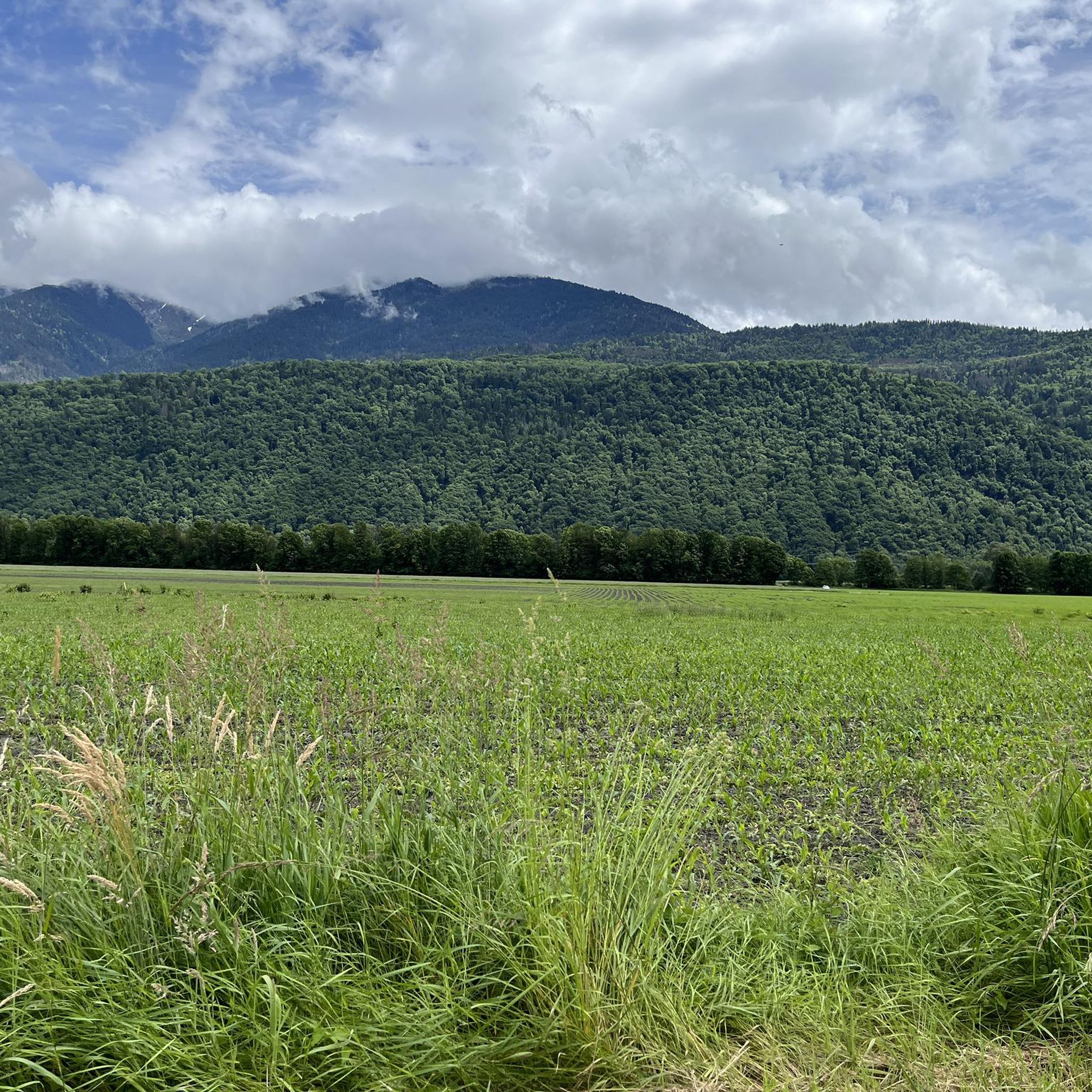
Ideally located along the Bella Via about fifteen kilometers from Albertville, cyclists can stop to refill their bottles and cool off. Other activities such as fishing or tennis are also practiced here. Surrounding massifs: Bauges to the north, Belledonne and Vanoise to the south
0
0

small street, nice view, fountain unfortunately without water
2
0
beautiful church, the fountain unfortunately empty
2
0
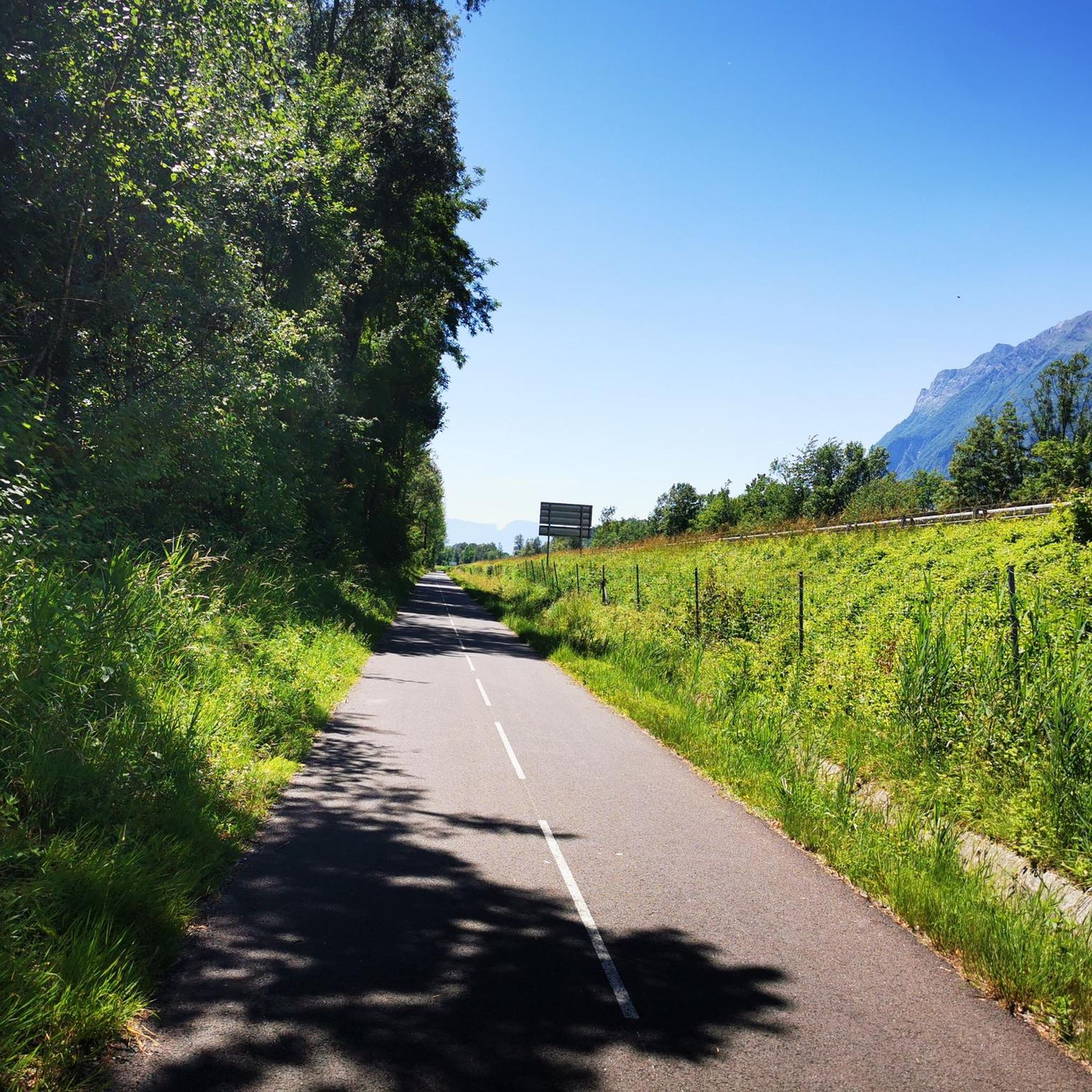
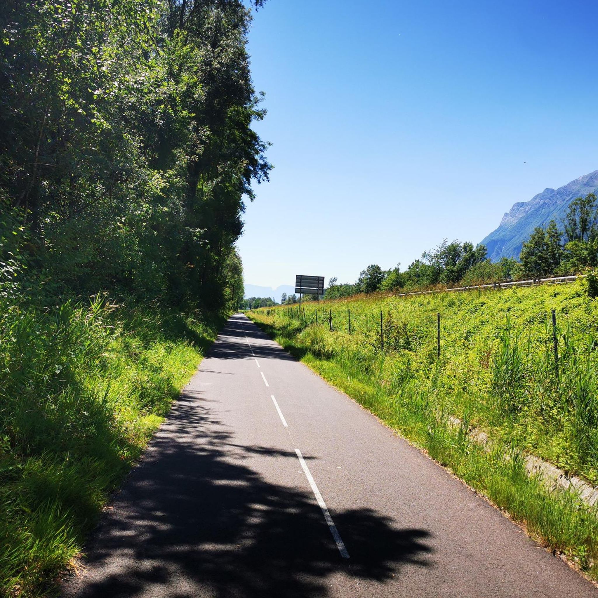
Beautiful cycle path along the Isere.
2
0
Beautiful old town of Albertville.
2
0

Surrounded by mountains, a castle, vineyards, fields, and streams, what more could you ask for
0
0

The place is clean and pleasant. There's room for everyone: fishermen, walkers, swimmers, cyclists...
0
0
Frequently Asked Questions
How many gravel bike trails are available around Bonvillard?
There are 14 gravel bike routes around Bonvillard, offering a variety of experiences for different skill levels. You'll find a mix of moderate and difficult trails to explore.
What kind of terrain can I expect on gravel bike trails near Bonvillard?
The region around Bonvillard offers diverse terrain, blending road cycling, cyclocross, and mountain biking. You can expect a mix of paved and unpaved tracks, forest paths, and winding roads. The landscape is characterized by mountainous areas, river valleys, and picturesque Savoie vineyards, with routes often passing through or near natural parks like the Massif des Bauges Regional Natural Park.
Are there any challenging gravel routes for experienced riders?
Yes, Bonvillard offers several challenging gravel routes. For instance, the Grignon Lake – Véloroute 62 loop from Montsapey is a difficult 81.6-mile (131.4 km) path with significant elevation gain. Another demanding option is the Épine Pass – Tamié Pass loop from Grésy-sur-Isère, which covers 82.3 miles (132.5 km) and includes substantial climbs, typical of the region's high-altitude routes.
What natural landmarks or viewpoints can I see along the gravel trails?
Many gravel routes offer stunning views and pass by notable natural features. You might encounter summits like Dent d'Arclusaz, Mont d'Armenaz, or Fougère Peak. The region is also known for its mountain passes, such as Col du Grand Cucheron and Tamié Pass, which offer breathtaking vistas. Some routes, like the View of Château de Miolans – Bike path loop from Frontenex, also provide views of historical sites.
Are there any circular gravel routes in the Bonvillard area?
Yes, many of the gravel trails around Bonvillard are designed as loops, allowing you to start and finish at the same point. Examples include the View of Château de Miolans – Bike path loop from Frontenex, the Grignon Lake – Véloroute 62 loop from Montsapey, and the Bike path – Véloroute 62 loop from Albertville.
What is the best time of year for gravel biking in Bonvillard?
The best time for gravel biking in Bonvillard is generally from spring through autumn. The mountainous terrain and high-altitude routes mean that some passes might be inaccessible due to snow in winter. Spring and autumn offer pleasant temperatures and vibrant scenery, while summer provides longer daylight hours, though some routes can be quite exposed.
Are there any family-friendly gravel biking options?
While many routes in the region can be quite challenging, some sections of the established bike paths, such as those along the Isère river or parts of the Véloroute 62, might be suitable for families. For a moderate option, consider the View of Château de Miolans – Bike path loop from Frontenex, which is 34.5 miles (55.6 km) and primarily follows bike paths.
What do other gravel bikers enjoy most about Bonvillard?
The gravel biking routes around Bonvillard are highly rated by the komoot community, with an average score of 4.3 stars. Riders often praise the diverse landscapes, from river valleys to vineyards and mountainous backdrops, as well as the variety of terrain that blends paved and unpaved sections, offering a true gravel experience.
Is there parking available near the gravel bike trails?
While specific parking details for every trail are not provided, many routes start from towns like Frontenex, Montsapey, Albertville, or Gilly-sur-Isère. These towns typically offer public parking facilities. Albertville, being a larger town about 11km from Bonvillard, serves as a common starting point for many rides and would have parking options.
Can I access the gravel trails using public transport with my bike?
Public transport options for bikes can vary. Larger towns in the region, such as Albertville, are generally better connected by regional buses or trains. It's advisable to check with local transport providers regarding their policies for carrying bicycles, especially for routes starting further afield from Bonvillard itself.
Are there any less-known or 'hidden gem' gravel routes?
Beyond the most popular trails, the region's extensive network of forest paths and winding roads offers many opportunities for exploration. Routes like the Grignon Lake – Ruisseau des Moulins loop from Gilly-sur-Isère, a moderate 33.1-mile (53.3 km) ride, provide a good balance of distance and elevation, allowing you to discover quieter parts of the landscape.
Are there places to eat or stay near the gravel trails?
Bonvillard and the surrounding charming villages, as well as nearby towns like Albertville and Aiguebelle, offer various amenities. You can find markets, cafes, and restaurants in these areas to refuel. For accommodation, there are options ranging from guesthouses to hotels in the wider Savoie region, especially in towns that serve as common starting points for outdoor activities.
Most popular routes around Bonvillard
Most popular attractions around Bonvillard

Get inspired with the komoot mobile app


Explore more
Browse the best Gravel rides in other regions.
