The best mountain hikes around Tournon
4.7
(7)
74
hikers
6
hikes
Mountaineering routes around Tournon are set within the dramatic landscapes of the Rhône Valley, characterized by varied topography and geological formations. The region features the Rhône River, the green Ardèche Hills and Plateaus, and several volcanic peaks. These peaks, such as Mont Gerbier de Jonc, offer demanding ascents and expansive views. The hillsides are also extensively covered with vineyards, which often form part of the scenic routes.
Best mountaineering routes around Tournon
- The most popular mountaineering route is Mountain Cow…
Last updated: October 17, 2026
3.5
(2)
34
hikers
9.71km
04:33
920m
920m
Hard mountaineering route. Very good fitness required. Mostly accessible paths. Sure-footedness required.
10
hikers
12.6km
05:27
1,010m
1,010m
Hard mountaineering route. Very good fitness required. Sure-footedness, sturdy shoes and alpine experience required.

5.0
(1)
8
hikers
6.05km
03:44
690m
690m
Moderate mountaineering route. Good fitness required. Mostly accessible paths. Sure-footedness required.
5.0
(1)
3
hikers
8.36km
04:17
700m
710m
Hard mountaineering route. Good fitness required. Sure-footedness, sturdy shoes and alpine experience required.
3
hikers
16.1km
07:17
1,190m
1,190m
Hard mountaineering route. Very good fitness required. Mostly accessible paths. Sure-footedness required.
Our route recommendations are based on thousands of hikes, rides, and runs completed by other people on komoot.
Start today with a free account
Your next adventure awaits.


Tips from the Community

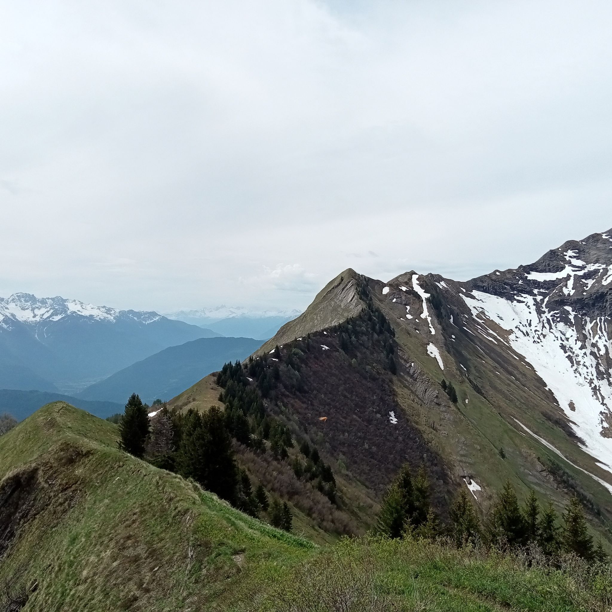
Amazing views on mount blanc, lac d’ annecy and more beautiful landscape! 😍 Attention, only take the path across the ridge to the chalet de L’Alpettaz if you are a really experienced hiker and like to get some adrenaline. It is super narrow and partly really dangerous. After finishing the dangerous part there is high grass through which the hike continues.
1
0

Located on the heights of Lake Annecy, this family-friendly resort is open winter and summer. Among the sports facilities are cycling trails that lead to discovering local heritage and expertise.
0
0

Hello, point 1 is not the Col d'Orgeval, but under Chaurionde. It would have been wise to mention the Aulp de Seythenex as point 1, as 2 under Chaurionde and so on....
0
0

As you climb the challenging trail to the top of Petite Sambuy, you’ll be rewarded with breathtaking panoramic views across the Tarentaise Valley. This iconic peak, nestled in the heart of the magnificent French Alps, offers a truly awe-inspiring experience. From the summit, you’ll be able to admire the snow-capped mountains, picturesque villages and winding rivers that characterise the region.
0
0

Chalet under renovation but part of it nevertheless provides shelter.
0
0
Access is quite physical but you are largely rewarded by the sumptuous 360° landscapes once at the top 🤩
1
0

Super comfortable and possibility to meet the shepherd
0
0

the water is not directly accessible in the chalet but a river below allows you to refuel! Very nice well maintained refuge! (info from 20/05/2023)
0
0
Frequently Asked Questions
How many mountaineering routes are available around Tournon?
There are currently 8 mountaineering routes available around Tournon, offering a mix of moderate and difficult challenges for outdoor enthusiasts.
Are there mountaineering routes suitable for beginners or those looking for a moderate challenge?
Yes, there are 4 moderate mountaineering routes around Tournon. For example, the Mountain Cow loop from Seythenex is a 9.7 km trail that takes around 4 hours 28 minutes to complete, offering scenic views of the surrounding hills and valleys.
What kind of views can I expect on the mountaineering routes around Tournon?
The routes around Tournon offer diverse and captivating views. You'll encounter panoramic vistas of the Rhône River and its valley, the green Ardèche Hills and Plateaus, and extensive vineyards. Higher elevations, especially from volcanic peaks, can even provide glimpses of the Vercors and the Alps.
Are there any circular mountaineering routes in the Tournon area?
Yes, many of the routes are designed as loops. For instance, the Col d'Orgeval loop from Réserve biologique intégrale du Haut Chéran is a moderate 10.7 km path that provides a challenging ascent through varied terrain, rewarding with panoramic vistas.
What are some of the more challenging mountaineering routes near Tournon?
For those seeking a more demanding experience, there are 4 difficult routes. The Pointe de l'Arcalod – Orgeval Pass loop from Seythenex is a challenging 15.8 km trail that typically takes around 7 hours 20 minutes to complete, leading through rugged mountainous terrain.
What do other mountaineers say about the routes in Tournon?
The mountaineering routes in Tournon are highly rated by the komoot community, with an average score of 4.7 stars from over 7 reviews. Users often praise the diverse landscapes, the challenging ascents, and the rewarding panoramic views from the volcanic peaks.
Are there any notable natural landmarks or peaks to see along the routes?
Absolutely. The region is characterized by its volcanic peaks and dramatic geological formations. You might encounter highlights such as La Belle-Étoile, Petite Sambuy, or the Dent of Cons. The area also features several mountain passes like Tamié Pass and Col d'Orgeval.
What is the typical duration for mountaineering routes in this area?
The duration varies depending on the route's difficulty and length. Moderate routes can take around 4 to 5 hours, while more difficult trails, such as the Pointe de Chaurionde – Col d'Orgeval loop from Réserve biologique intégrale du Haut Chéran, can extend to 6 hours 33 minutes or more for the 14.9 km distance.
What kind of terrain can I expect on these mountaineering routes?
The terrain around Tournon is highly varied. You'll traverse green Ardèche hills, wooded valleys, and plateaus. Expect demanding ascents on volcanic peaks, some with short rocky sections, and paths winding through extensive vineyards. The routes often provide a sense of a strenuous 'climb' rather than a simple walk.
Are there any other difficult mountaineering options besides the ones mentioned?
Yes, another challenging option is the Croix Perillet and Chevron loop from Plancherine. This 8.3 km route is rated as difficult and involves significant elevation gain, typically taking around 4 hours 15 minutes to complete.
What is the best season for mountaineering in the Tournon region?
The region is generally suitable for mountaineering from spring through autumn. The varied landscapes, including vineyards and volcanic peaks, are particularly beautiful during these seasons. While some trails might be accessible in winter, conditions can be more challenging, especially at higher elevations, requiring appropriate gear and experience.
Most popular attractions around Tournon

Get inspired with the komoot mobile app


Explore more
Browse the best Mountain Hikes & Routes in other regions.
