The best gravel rides around Détrier
4.6
(7)
54
riders
11
rides
Gravel biking around Détrier, located in the Savoie department of France, provides access to varied terrain across elevations ranging from 332 to 762 meters. The region features a mix of paved and unpaved paths, including forest roads and less-trafficked asphalt, suitable for gravel bikes. Cyclists can explore mountainous areas with passes like Col de Tamié and Col de Champlaurent, as well as valleys such as the Val Gelon, offering a dynamic environment for mixed-surface riding.
Best gravel bike trails around…
Last updated: August 24, 2026
5.0
(1)
9
riders
28.8km
01:57
560m
570m
Hard gravel ride. Very good fitness required. Mostly paved surfaces. Suitable for all skill levels.
5.0
(2)
5
riders
31.8km
01:58
270m
270m
Moderate gravel ride. Good fitness required. Mostly paved surfaces. Suitable for all skill levels.

Sign up for free
5.0
(2)
6
riders
89.6km
06:19
1,860m
1,860m
Hard gravel ride. Very good fitness required. Mostly paved surfaces. Suitable for all skill levels.
4
riders
48.7km
03:16
720m
720m
Hard gravel ride. Very good fitness required. Mostly paved surfaces. Suitable for all skill levels.
6
riders
30.0km
02:18
840m
840m
Hard gravel ride. Very good fitness required. Mostly paved surfaces. Suitable for all skill levels.
Get access to more routes and recommendations from other explorers.
Sign up for free
Already have an account?
Our route recommendations are based on thousands of hikes, rides, and runs completed by other people on komoot.
Start today with a free account
Your next adventure awaits.
Login or Signup
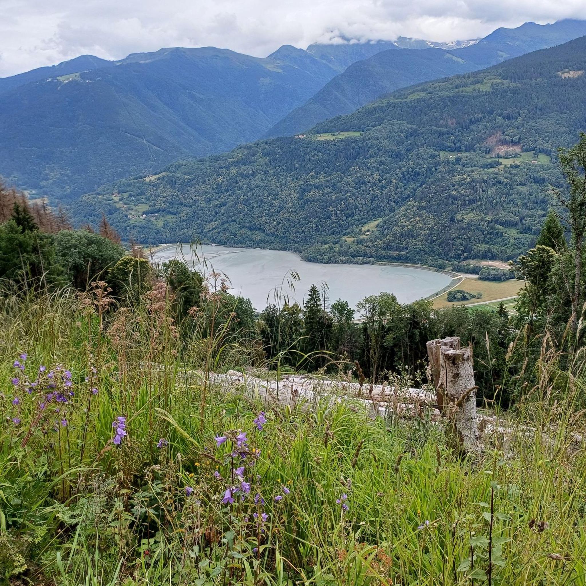
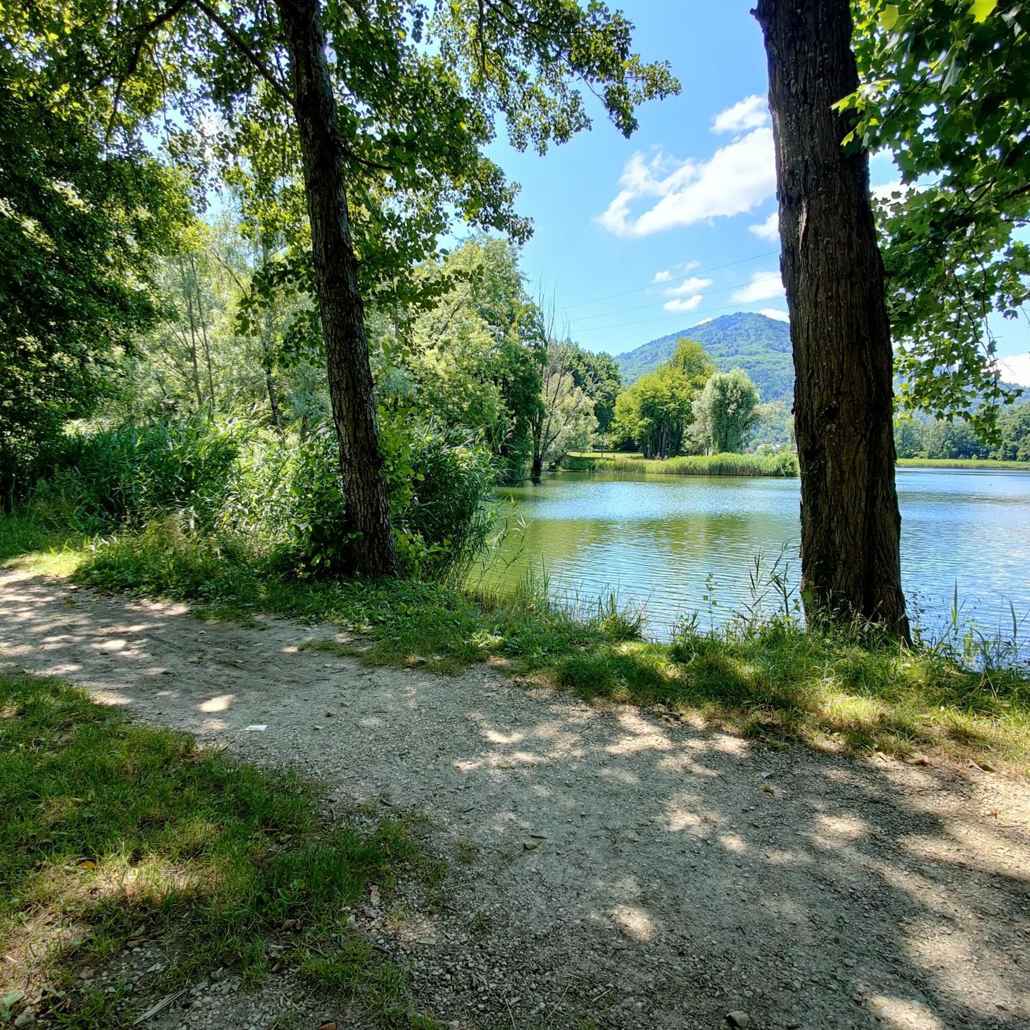
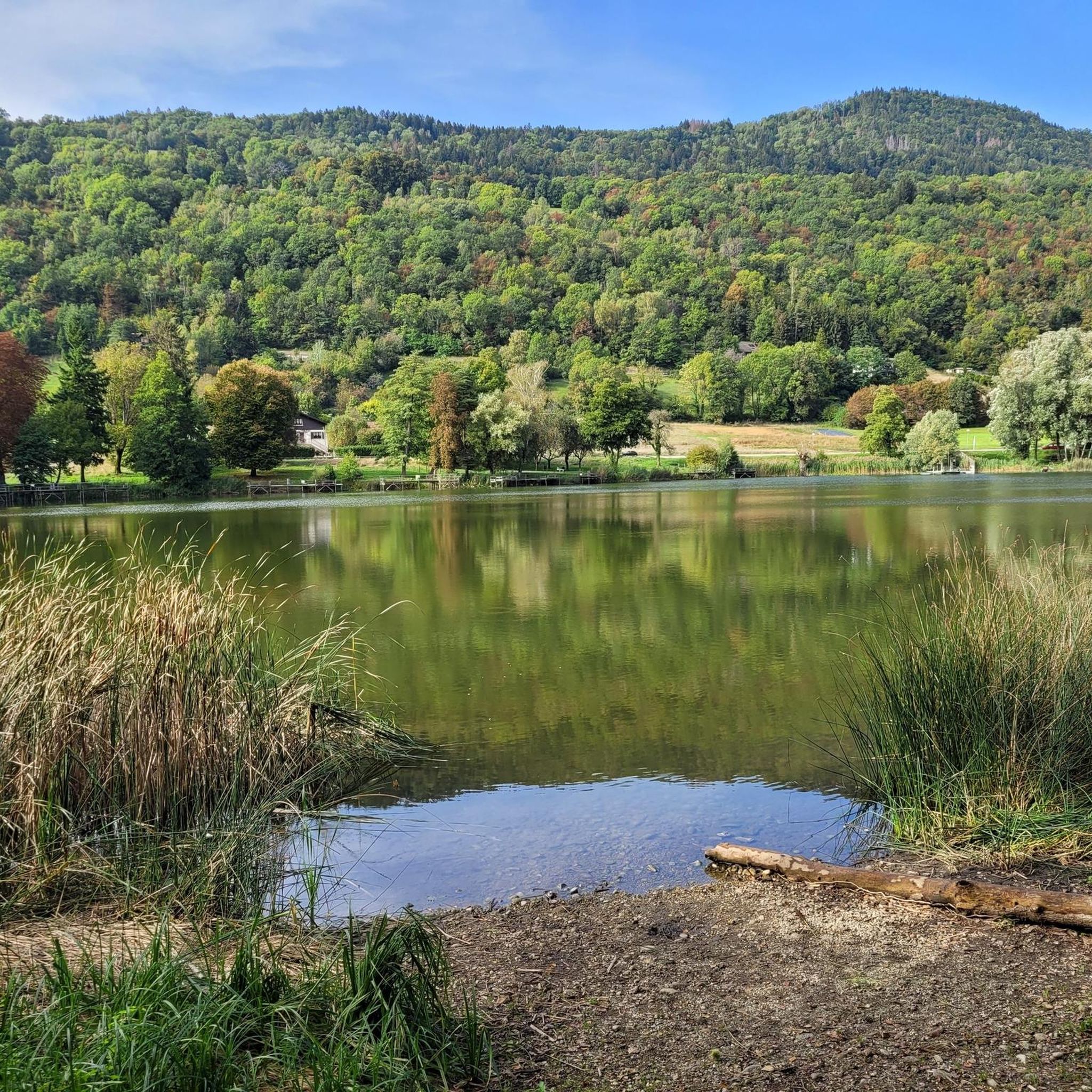
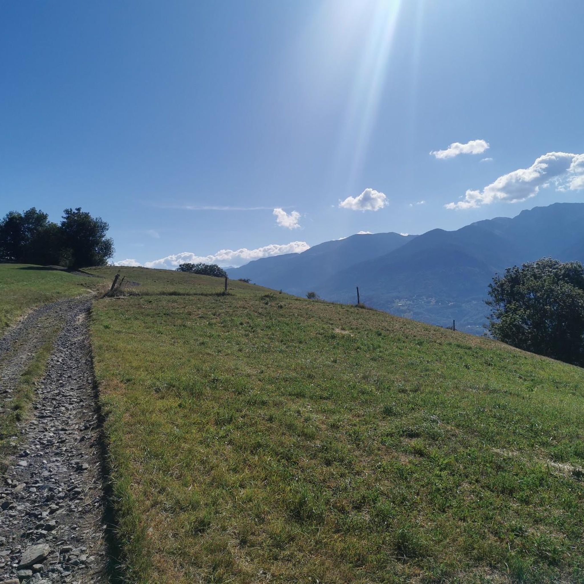

Tips from the Community

Nice little pass, quiet road, great views.
2
0
Nice little place shortly before the last ascent to Col des Pres. Church, bar and fountain.
2
0

Very beautiful hamlet, which notably opens up the view of the Bauges in the background. The road that allows access from Allevard is very accessible.
0
0

True location of the Pass, arrival marker and sign at the summit.
1
0

strange monument erected in honor of Mr. Ernest Doudart, who distinguished himself in Indochina
0
0

Quiet little road to begin the ascent of the Col du Frêne. Very beautiful view.
0
0

Beautiful pass. The climb is a bit gentler from the north. The descent to the south offers beautiful views of the Isère Valley.
0
0
Frequently Asked Questions
How many gravel bike trails are available around Détrier?
Détrier offers nearly 20 gravel bike trails, catering to various skill levels. You'll find a mix of easy, moderate, and difficult routes, ensuring there's something for every gravel biking enthusiast.
What kind of terrain can I expect on gravel bike routes near Détrier?
The terrain around Détrier is diverse, ranging from 332 to 762 meters in elevation. You can expect a mix of paved and unpaved paths, including forest roads, dirt tracks, and less-trafficked asphalt. The region features mountainous sections with passes, river valleys like the Val Gelon, and forested areas, providing a dynamic mixed-surface riding experience.
Are there any easy gravel bike routes suitable for beginners or families?
Yes, there are easier options available. For instance, the Gravel loop from Montmélian is an easy 27.2 km (16.9 miles) trail with minimal elevation gain, making it a good choice for those looking for a less challenging ride through varied local landscapes.
What are some notable natural features or landmarks I can see along the gravel trails?
Many routes offer scenic views and pass by interesting landmarks. You can explore areas near Lake Saint-André or Lac de Sainte Hélène. Some trails also offer views of the Flumet basin or the Marocaz Pass. The Bike path – View of Château de Miolans loop from Pontcharra-sur-Bréda - Allevard specifically offers views of Château de Miolans.
Are there any gravel routes that include mountain passes?
Absolutely. The region is known for its mountainous terrain and passes. A challenging option is the Col du Frêne (950 m) – Col du Frêne (950 m) loop from Montmélian, which features significant elevation gain as it traverses mountainous terrain. Other passes like Col de Tamié and Col de Champlaurent are also prominent in the wider area and may be incorporated into gravel routes.
Can I find circular gravel routes around Détrier?
Yes, many of the gravel routes around Détrier are designed as loops. Examples include the challenging Col du Frêne (950 m) – Col du Frêne (950 m) loop from Montmélian, the moderate Bike path – View of Château de Miolans loop from Pontcharra-sur-Bréda - Allevard, and the easy Gravel loop from Montmélian.
What do other gravel bikers say about the trails in Détrier?
The gravel biking routes in Détrier are highly regarded by the komoot community, holding an average rating of 4.8 stars from over 10 reviews. Users often praise the varied terrain, the scenic beauty of the mountainous passes and river valleys, and the options available for different ability levels.
Are there any longer, more challenging gravel routes for experienced riders?
Yes, experienced riders will find several challenging options. The Col du Frêne (950 m) – Col du Frêne (950 m) loop from Montmélian is a difficult 101.7 km (63.2 miles) route with over 1250 meters of elevation gain. Another difficult option is the Allevard – View of the Flumet basin loop from Saint-Pierre-d'Allevard, covering 28.6 km (17.8 miles) with significant climbing.
What is the best time of year for gravel biking in Détrier?
The region's diverse landscapes are enjoyable across multiple seasons. Spring and autumn generally offer pleasant temperatures and vibrant scenery, ideal for exploring. Summer can also be great, especially for higher elevation routes, though some valley paths might be warmer. Winter conditions can vary, with higher passes potentially experiencing snow, so checking local weather and trail conditions is advisable.
Are there any routes that pass by lakes or waterways?
Yes, the area around Détrier is dotted with beautiful lakes. You can find routes that offer views of or pass near Lake Saint-André, Lac de Sainte Hélène, and Lac de la Thuile. These provide peaceful settings and often have surrounding paths suitable for gravel exploration.
Can I access gravel biking routes from Montmélian?
Yes, Montmélian serves as a convenient starting point for several gravel routes. Both the challenging Col du Frêne (950 m) – Col du Frêne (950 m) loop from Montmélian and the easier Gravel loop from Montmélian begin from this location, offering options for different skill levels.
Most popular routes around Détrier
Most popular attractions around Détrier

Get inspired with the komoot mobile app


Explore more
Browse the best Gravel rides in other regions.
