The best gravel rides around Nanteuil-La-Fosse
3.8
(9)
62
riders
9
rides
Gravel biking around Nanteuil-La-Fosse offers exploration through a rural commune in the Aisne department, characterized by varied terrain. The region features wide valleys, agricultural lands, and forests, providing a network of unpaved roads and tracks. Elevations range from 79 to 176 meters, offering diverse topography suitable for gravel riding. Proximity to the Aisne river also suggests potential for scenic riverside paths.
Best gravel bike trails around Nanteuil-La-Fosse
- The most popular gravel bike trail is View of Lake Ailette – Vauclair…
Last updated: July 13, 2026
4.0
(2)
23
riders
37.9km
02:01
210m
210m
Moderate gravel ride. Good fitness required. Mostly paved surfaces. Suitable for all skill levels.
7
riders
54.7km
03:46
640m
640m
Hard gravel ride. Very good fitness required. Mostly paved surfaces. Suitable for all skill levels.

Sign up for free
8
riders
Easy gravel ride. Great for any fitness level. Mostly paved surfaces. Suitable for all skill levels.
3.0
(1)
3
riders
20.5km
01:21
90m
90m
Easy gravel ride. Great for any fitness level. Mostly paved surfaces. Suitable for all skill levels.
4.5
(4)
5
riders
49.6km
02:48
190m
190m
Moderate gravel ride. Good fitness required. Mostly paved surfaces. Suitable for all skill levels.
Get access to more routes and recommendations from other explorers.
Sign up for free
Already have an account?
Our route recommendations are based on thousands of hikes, rides, and runs completed by other people on komoot.
Start today with a free account
Your next adventure awaits.
Login or Signup
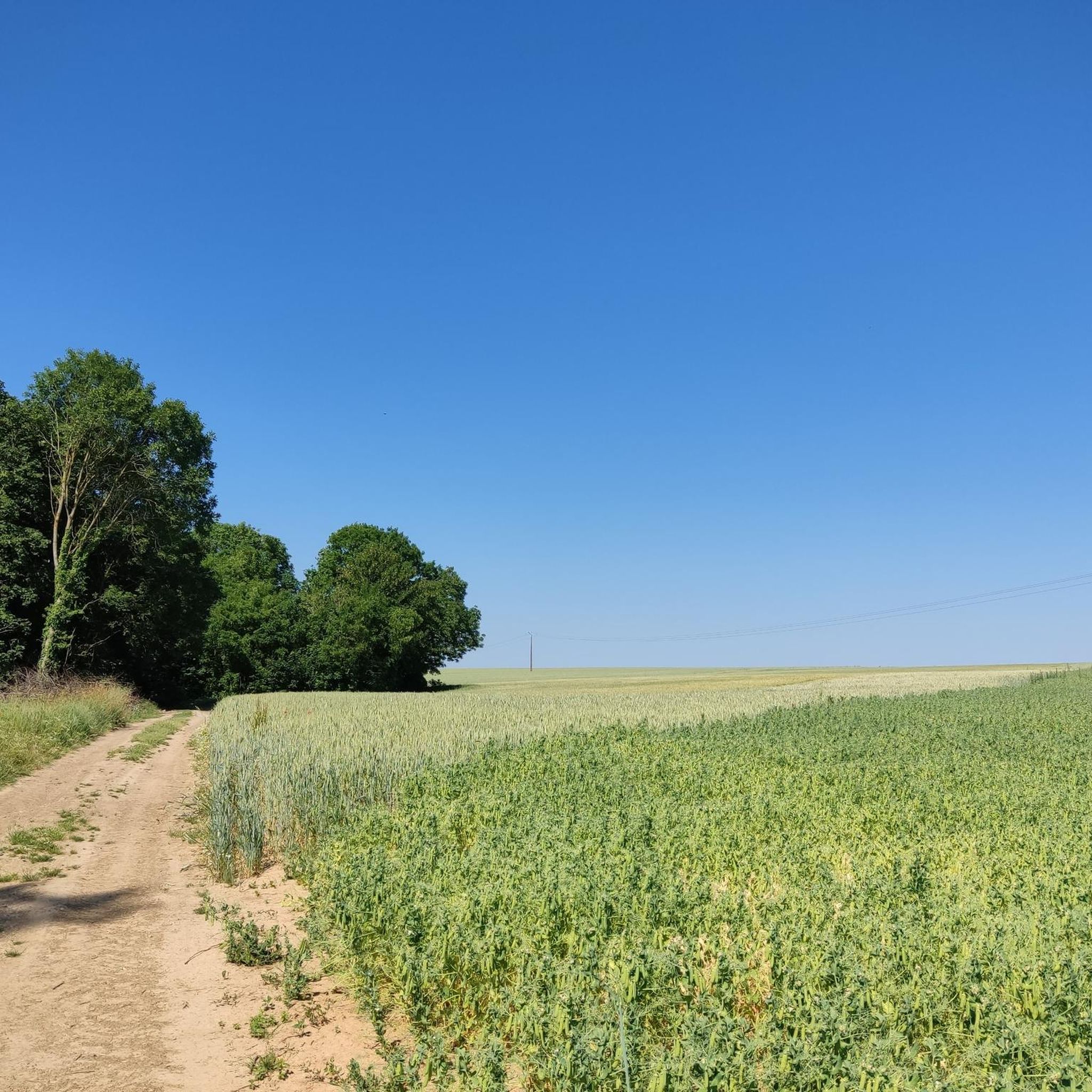
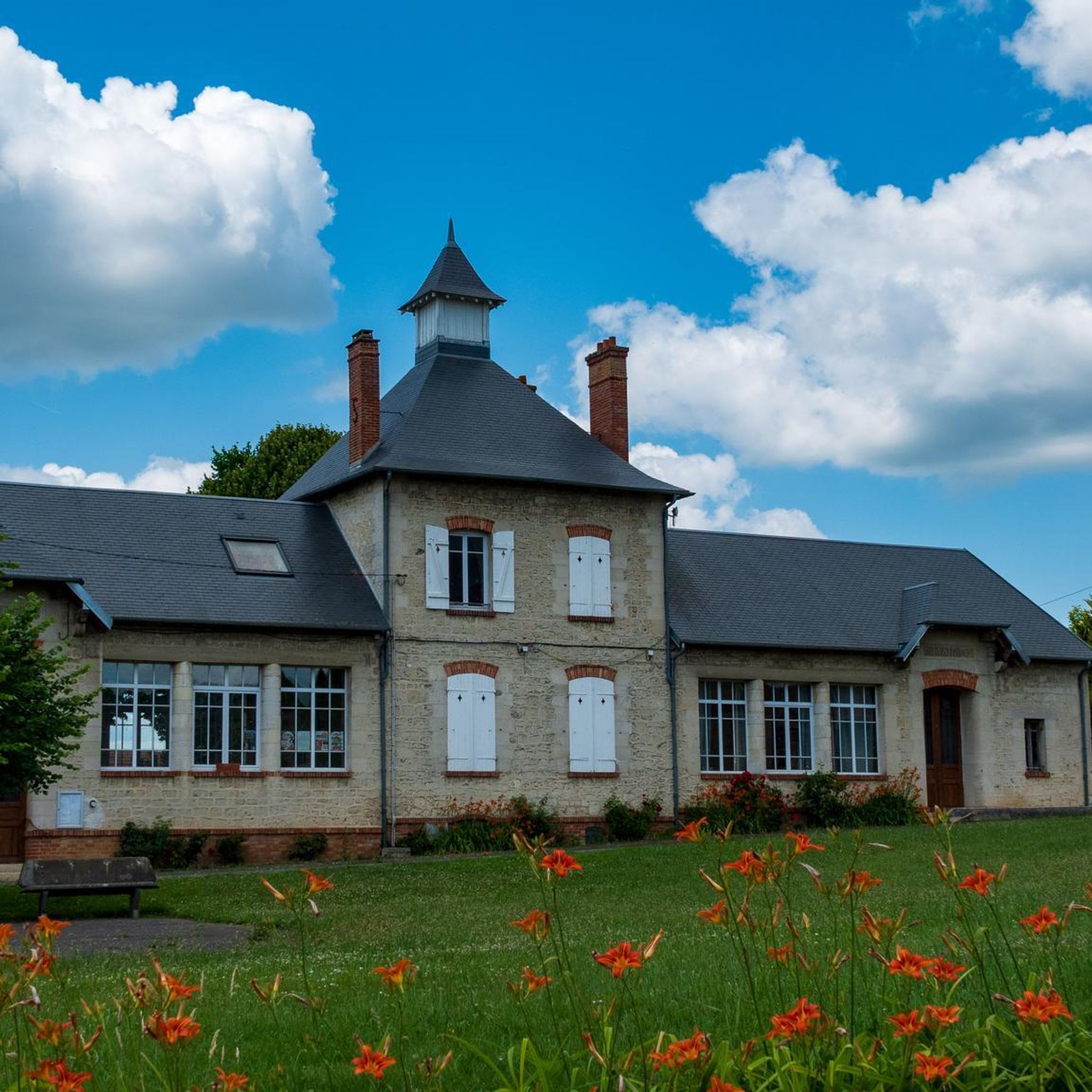
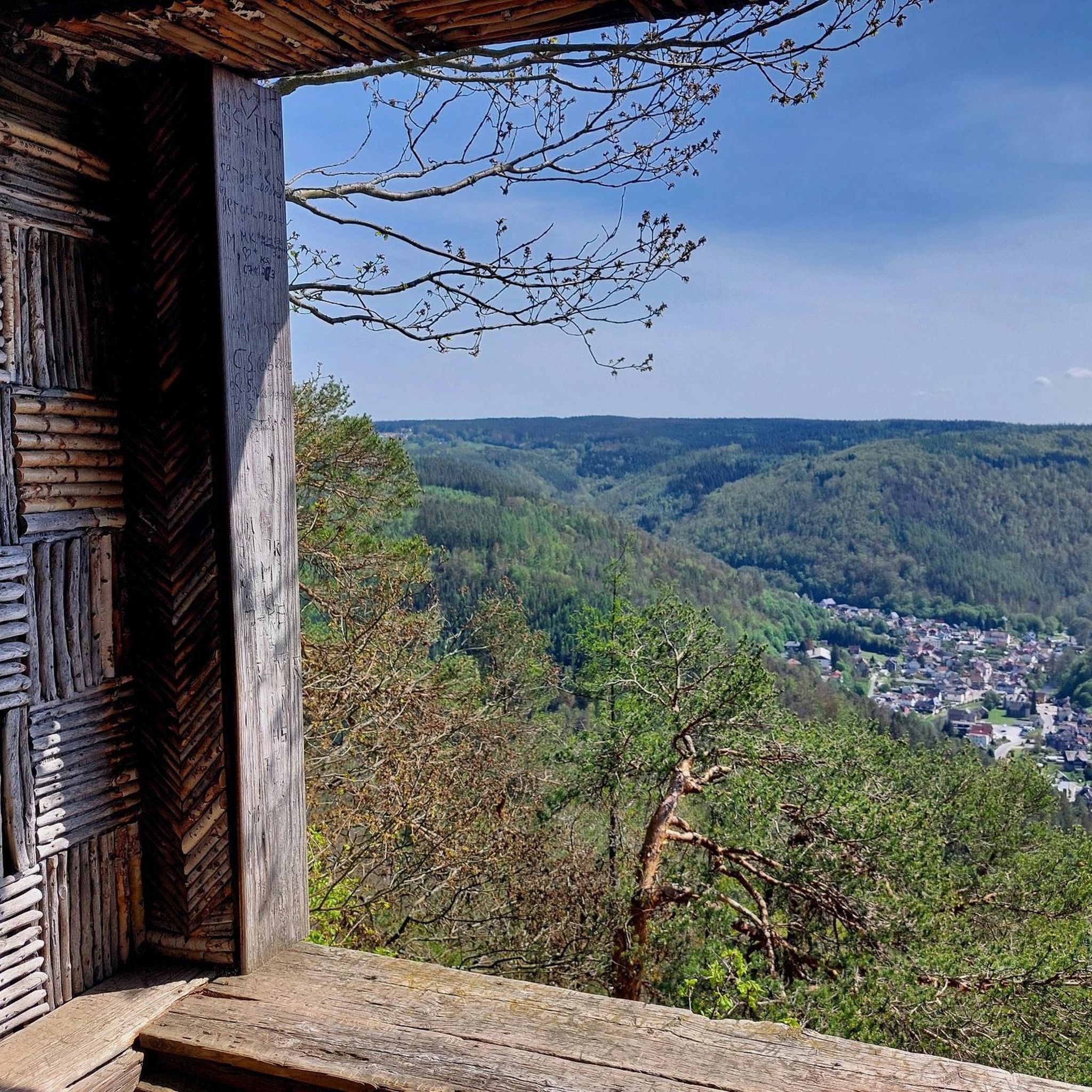
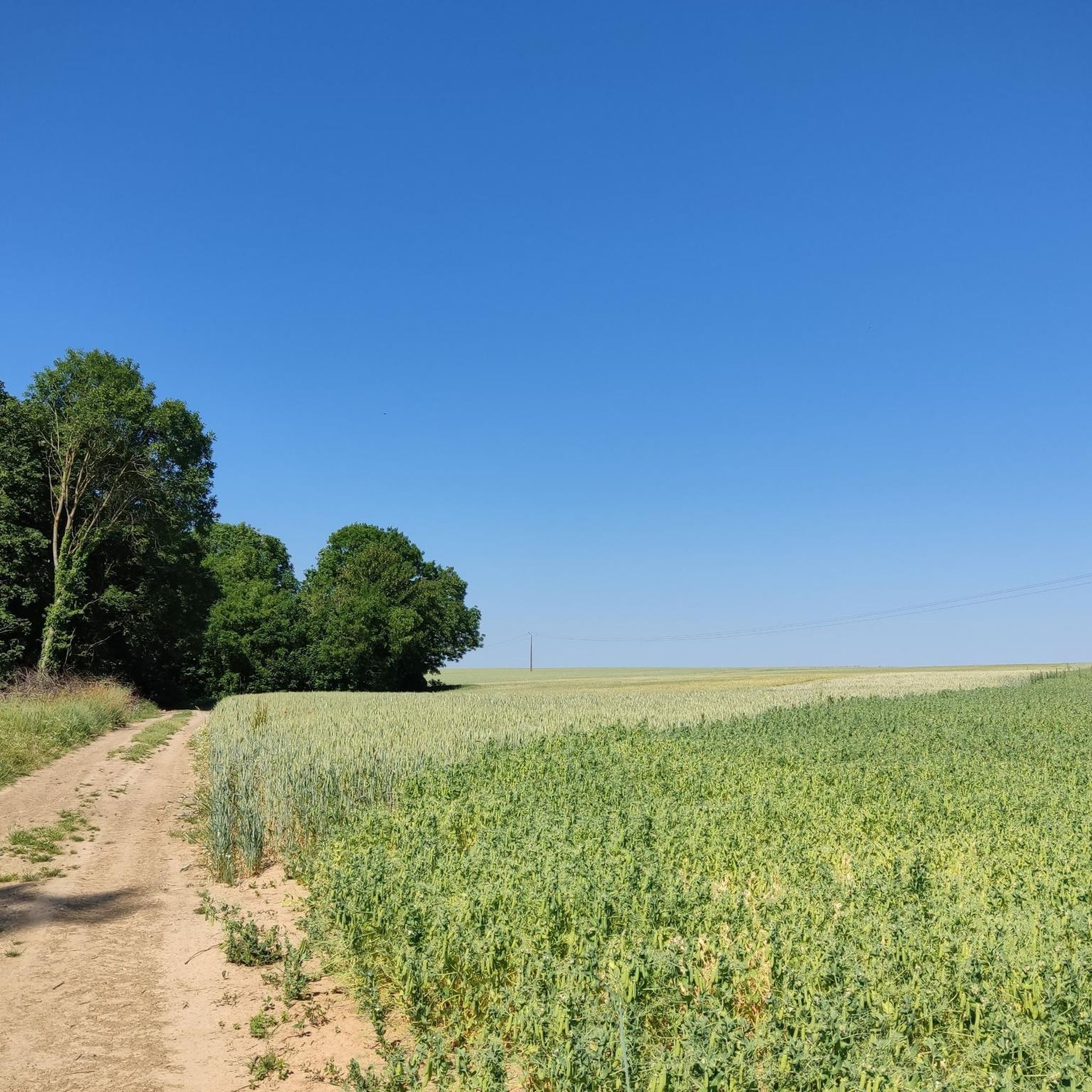
Tips from the Community

Beautiful quiet place for a walk
0
0


Elevated Wooden bridge over the lake which goes under road, views of both sides of lakes. Narrow in places and some wooden sections are not in the best condition.
0
0
A small bridge joining the 2 sections lake and gravel track running behind
0
0

This Greenway, built on the bank of the former Compiègne-Soissons railway line, connects Cuise-la-Motte with Soissons and forms the main section of the cycle route that will eventually connect these two important cities along the Aisne Valley. The first section was completed in 2011 between Cuise-la-Motte and Courtieux. In 2023, additional sections were added between Courtieux and Soissons. The path consists of smooth, very smooth asphalt and is pleasant to ride. It passes several ponds.
5
0
Pedestrian and cyclist bridge over the Aisne River. The name, "Passerelle des Anglais," refers to the important role the British played in the liberation of Soissons in 1918 and in the reconstruction of the city after the First World War, including the reconstruction of the original bridge, which was destroyed by the German army.
6
0

Bakery, bar, tobacconist... Perfect for starting and finishing a hike
0
0
Frequently Asked Questions
What kind of terrain can I expect on gravel bike trails around Nanteuil-La-Fosse?
The region offers a diverse mix of terrain, ideal for gravel biking. You'll find wide valleys, extensive agricultural lands, and numerous forests. This translates to a network of unpaved roads, farm tracks, and forest trails. Elevations range from 79 to 176 meters, providing varied topography with gentle gradients.
How many gravel bike trails are available in the Nanteuil-La-Fosse area?
There are 5 gravel bike trails currently available around Nanteuil-La-Fosse on komoot, offering a range of options for different skill levels.
Are there any easy gravel bike trails suitable for beginners or families?
Yes, there is one easy gravel bike trail. The Lake Monampteuil – Cycleway - Gravel Section loop from Pargny-et-Filain is an easy 23.7 km path featuring a mix of cycleway and gravel sections around Lake Monampteuil, making it a good option for a more relaxed ride.
What are some notable natural features or landscapes I might encounter on the trails?
You'll experience the wide valley of the Ru de Chivres, and many routes offer proximity to the Aisne river and its associated canal systems, providing scenic riverside paths. The area is also rich in forests and agricultural lands, offering a peaceful, natural cycling experience.
Are there any historical or cultural landmarks along the gravel routes?
Yes, the region is rich in history. You can incorporate stops at places like the well-preserved Fort of Condé, or the impressive Saint-Jean-des-Vignes Abbey in Soissons. Some routes, like the Suspension bridge over the Aisne – Chateau du Fief Champėtre loop from Crouy, specifically highlight historical points of interest.
What do other gravel bikers say about the trails in Nanteuil-La-Fosse?
The routes in Nanteuil-La-Fosse are highly rated by the komoot community, with an average score of 4.3 stars from 4 reviews. Over 40 gravel bikers have used komoot to explore the varied terrain, often praising the diverse landscapes and quiet rural paths.
Are there any challenging gravel routes for experienced riders?
Yes, for experienced riders seeking a challenge, the Passerelle des Anglais – View of the Town Hall loop from Bucy-le-Long is classified as difficult, covering 22.1 km. There are also three moderate routes available for those looking for a good workout.
Can I find circular gravel routes in the area?
Many of the gravel routes around Nanteuil-La-Fosse are designed as loops, allowing for convenient circular rides. Examples include the View of Lake Ailette – Vauclair Abbey loop from Pargny-et-Filain and the Lake Monampteuil – Cycleway - Gravel Section loop from Pargny-et-Filain.
What are some of the longer gravel biking options available?
For longer rides, consider the Suspension bridge over the Aisne – Chateau du Fief Champėtre loop from Crouy, which is 42.3 km, or the View of the Town Hall – Soissons Town Hall loop from Crouy at 41.3 km. These routes offer extended exploration through rural landscapes.
Are there any specific viewpoints or scenic spots to look out for?
The region's varied topography, with its wide valleys and proximity to the Aisne river, naturally offers many scenic spots. Routes like the View of Lake Ailette – Vauclair Abbey loop from Pargny-et-Filain provide views of Lake Ailette, and the Suspension Bridge over the Aisne near Soissons is a picturesque point of interest.
Is Nanteuil-La-Fosse well-suited for exploring off-the-beaten-path routes?
Absolutely. Nanteuil-La-Fosse, nestled in the rural Aisne department, is characterized by extensive agricultural lands and forests. This environment is perfect for gravel biking, emphasizing exploration of unpaved roads, farm tracks, and forest trails away from main roads, aligning perfectly with the spirit of off-the-beaten-path adventures.
Most popular routes around Nanteuil-La-Fosse
Most popular attractions around Nanteuil-La-Fosse

Get inspired with the komoot mobile app


Explore more
Browse the best Gravel rides in other regions.
