The best waterfall hikes and walks around Lago d'Iseo
4.4
(14573)
77,406
hikers
13
hikes
Waterfall hiking trails around Lago d'Iseo are set within the Lombardy region of Northern Italy, characterized by a diverse landscape of lush mountains and valleys. The area features the Bergamasque Alps, providing elevated viewpoints, and hills adorned with chestnut and beech forests. The lake itself is surrounded by reeds, willows, and poplars, creating varied ecosystems for exploration.
Best waterfall hiking trails around Lago d'Iseo
- The most popular waterfall hiking route is Grotta Cappella di Sulzano – Cascata di Sulzano loop…
Last updated: July 7, 2026
4.5
(4)
6
hikers
4.41km
01:24
190m
190m
Easy hike. Great for any fitness level. Easily-accessible paths. Suitable for all skill levels.
5.0
(4)
18
hikers
12.6km
04:18
560m
560m
Moderate hike. Good fitness required. Mostly accessible paths. Sure-footedness required.

Sign up for free
4.8
(12)
68
hikers
12.3km
04:49
870m
870m
Hard hike. Good fitness required. Sure-footedness, sturdy shoes and alpine experience required.
21.3km
06:11
540m
540m
Hard hike. Very good fitness required. Mostly accessible paths. Sure-footedness required.
4.6
(19)
92
hikers
13.9km
05:46
970m
970m
Hard hike. Very good fitness required. Sure-footedness, sturdy shoes and alpine experience required.
Get access to more routes and recommendations from other explorers.
Sign up for free
Already have an account?
Our route recommendations are based on thousands of hikes, rides, and runs completed by other people on komoot.
Start today with a free account
Your next adventure awaits.
Login or Signup
Popular around Lago d'Iseo
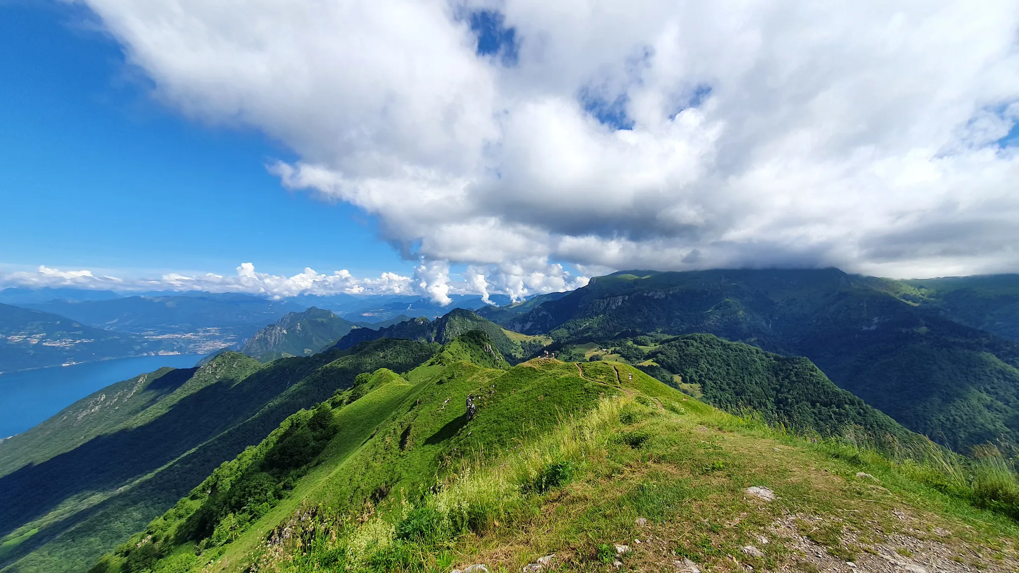
Between paths, refuges and churches – the hidden side of Lake Iseo
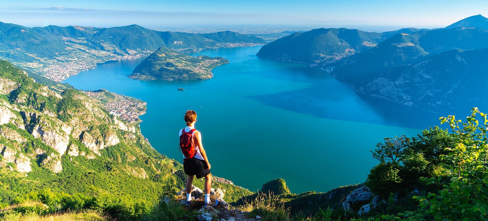
Where mountains meet the water – hike on Italy’s Lake Iseo
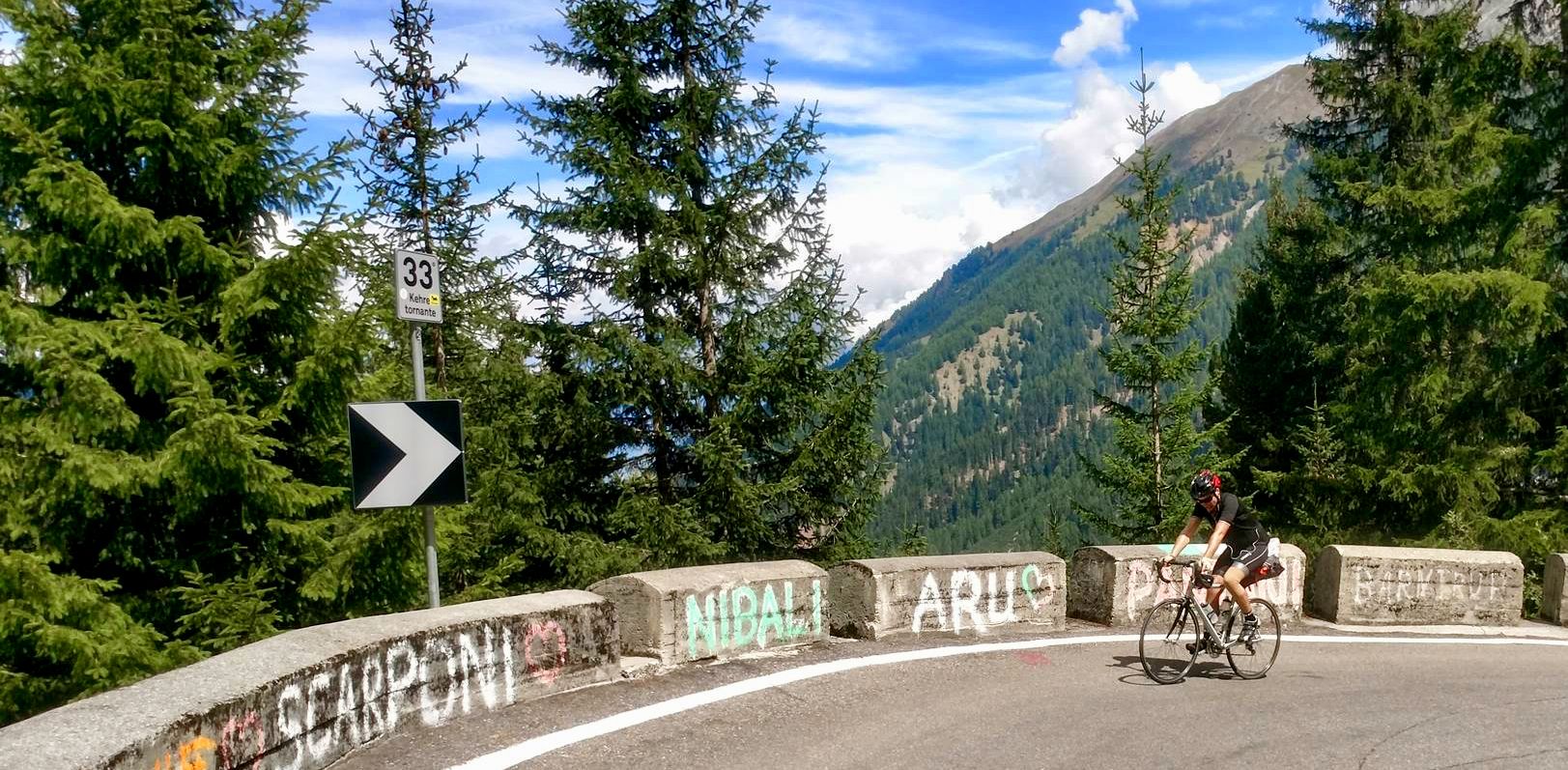
From the mountains to the sea — road cycling in Northern Italy
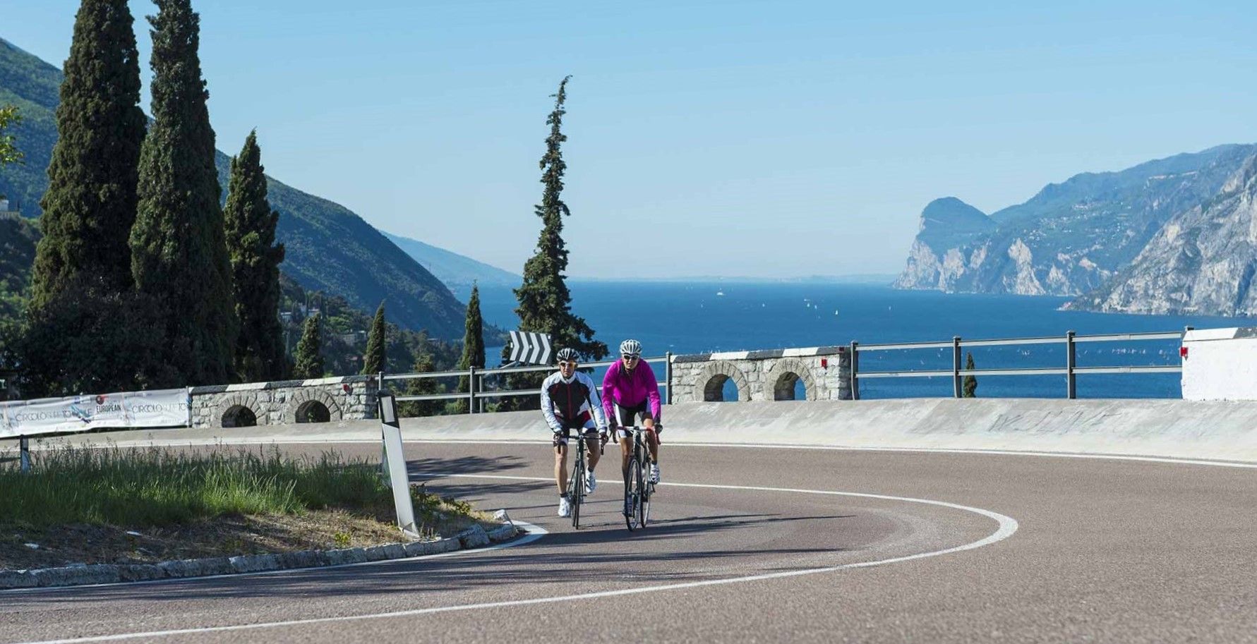
Lakeside paradises and great climbs – seven rides between Lakes Garda and Iseo
From source to mouth – Oglio Cycle Route
Other adventures around Lago d'Iseo


Tips from the Community


Accessible by four trails, each more beautiful than the last and of varying difficulty. The two leading to the Malga Lunga and the Monte Alto hut are of difficulty E. The chimney and the ghost trail starting from the Cudegn pass are of difficulty EE. https://www.ecodibergamo.it/stories/eppen/outdoor/volti-spettrali-incisi-nella-roccia-sentiero-delle-fantasme-sovere-o_1445517_11/
0
0

Possimo is a beautiful mountain village above Sovere (BG), located at approximately 935 meters above sea level, surrounded by pastures, beech forests, and breathtaking views of Lake Iseo and the Borlezza Valley. 🥾 How to get there Possimo is a stop on the Cammino Tre Laghi (Three Lakes Walk), along the CAI 563 trail: Starting from the Sanctuary of the Madonna della Torre in Sovere. After the "Stretta di Cudegn," continue towards the Malga Lunga. Shortly before the malga, turn left to descend to the Possimo plateau, among meadows and farmhouses. 🌿 What you'll find Panoramic meadows ideal for a relaxing break. Farmhouses and pastures dot the landscape. Trails that connect to historic sites such as the Malga Lunga, home to the Museum of the Resistance.
0
0
The Bivacco del Murì is an alpine refuge nestled in the woods above Sovere, in the province of Bergamo, at approximately 940 meters above sea level. It is managed by the Sovere Alpine Group (A.N.A.) and is usually open only on holidays in July and August. 📍 How to get there Start from the Sanctuary of the Madonna della Torre (480 meters), accessible by car from Sovere. From there, follow the CAI 563 trail, which passes through woods and rocky sections, with some steps and ropes to facilitate the ascent. The hike takes about 1 hour from the second parking lot, with an elevation gain of 355 meters. 🔥 What you'll find at the bivouac A simple but welcoming structure, with cooking and grilling facilities, firewood, a table, and benches under a canopy. It's an ideal starting point for hikes to: Malga Lunga (1,235 m) – about 55 minutes Baita Monte Alto (1,380 m) Rifugio Parafulmine (1,535 m) 🌲 Atmosphere and surroundings The trail offers panoramic views of Monte Guglielmo, Lake Iseo, and the Borlezza Valley. Just before the bivouac, you cross the picturesque "Strecc di Cudegn," a narrow passage between the rocks.
0
0
The Chiesetta del Posöl is a fascinating and mysterious place located in the woods above Sovere (BG)—today, it is a ruin that evokes ancient charm, beloved by those who enjoy hiking with a touch of hidden history. 🌿 What to Expect Ruins of a small church, nestled in a quiet, wooded setting. Not much detailed historical information is known about its origins, which makes it even more intriguing for curious explorers. This place is recommended by hikers for its peaceful atmosphere and the sense of "discovery" off the beaten track.
0
0
Suggestive carving in the rock. Starting point of the Sentiero delle Fantasme, look for the red writing on the rock that indicates the start of the ridge (path EE). https://www.ecodibergamo.it/stories/eppen/outdoor/volti-spettrali-incisi-nella-roccia-sentiero-delle-fantasme-sovere-o_1445517_11/
1
0

The Sanctuary takes its name from "tower" because in ancient times it was a Lombard tower, twin of the other Lombard tower that was located at the current Cala di San Giovanni. Both towers were under the dominion of the Lombard Prince Alano, who from his fortress of Breno (currently a ruined castle) governed the entire Valcamonica and Alto Sebino. Following Charlemagne's conquest of the Lombard Kingdom, with an Imperial Decree the two Lombard towers of Sovere and Cala di Lovere were changed from tower to sanctuary, dedicated respectively to the Madonna della Torre and to San Giovanni. For those who want to know more, connect to: https://1samcardell.wordpress.com/2020/11/07/presolana-tra-storia-e-leggenda/
5
0
Frequently Asked Questions
How many waterfall hiking trails are available around Lago d'Iseo?
There are 9 dedicated waterfall hiking trails around Lago d'Iseo. These routes offer a variety of experiences, from easy strolls to more challenging ascents, all featuring the region's beautiful waterfalls.
What is the general difficulty level of waterfall hikes in the Lago d'Iseo region?
The waterfall hikes around Lago d'Iseo cater to various fitness levels. You'll find 1 easy route, 2 moderate routes, and 6 more difficult trails, ensuring options for both casual walkers and experienced hikers.
What do other hikers say about the waterfall trails around Lago d'Iseo?
The waterfall trails around Lago d'Iseo are highly regarded by the komoot community, boasting an average rating of 4.4 stars from nearly 2,000 reviews. Hikers frequently praise the stunning natural beauty, the refreshing waterfalls, and the diverse landscapes encountered on these routes.
Are there any easy waterfall hikes suitable for beginners or families?
Yes, for an easy and family-friendly option, consider the Grotta Cappella di Sulzano – Cascata di Sulzano loop from Sulzano. This 2.7-mile (4.4 km) trail is generally completed in about 1 hour 24 minutes and offers lovely views of the Sulzano waterfall.
Are there any circular waterfall routes around Lago d'Iseo?
Yes, several waterfall trails are designed as loops. A popular moderate circular route is the Chiesetta del Posöl (Ruins) – Cascata dei Frati loop from Pianico, which covers 7.7 miles (12.4 km) and takes you through varied terrain, including the Cascata dei Frati.
What is the best time of year to go waterfall hiking around Lago d'Iseo?
The best time for waterfall hiking around Lago d'Iseo is typically in spring (April-June) when snowmelt feeds the waterfalls, making them particularly impressive, and the surrounding nature is lush. Autumn (September-October) also offers pleasant temperatures and beautiful fall foliage. Summer can be warm, but the waterfalls provide a refreshing escape.
Can I bring my dog on waterfall hikes in Lago d'Iseo?
Many trails in the Lago d'Iseo region are dog-friendly, but it's always advisable to check specific route details for any restrictions. Generally, dogs are welcome on leash, especially on less crowded paths. Ensure you bring enough water for your pet, particularly during warmer months.
Are there any places to eat or drink near the waterfall trails?
While specific cafes or pubs directly at every trailhead are not guaranteed, the charming villages surrounding Lago d'Iseo, such as Sulzano and Pianico, often have local eateries where you can find refreshments before or after your hike. It's a good idea to pack snacks and water, especially for longer trails.
What other natural attractions can I explore near the waterfall hikes?
Beyond the waterfalls, Lago d'Iseo offers a wealth of natural beauty. You can explore the unique Lake Iseo Scenic Road (Lovere–Castro), or visit the Peschiera Maraglio Lakeside Promenade. The region is also known for its lush mountains and the dramatic gorges along the western road of the lake.
What should I wear for waterfall hiking in Lago d'Iseo?
For waterfall hiking, wear comfortable, layered clothing suitable for varying temperatures and potential mist from the falls. Sturdy hiking shoes with good grip are essential, as trails can be uneven or wet. Bringing a waterproof jacket is also recommended, especially during spring or autumn.
Are there any longer, more challenging waterfall hikes for experienced hikers?
Yes, for those seeking a more challenging experience, the region offers routes like the Forest trail to Bivacco ANA Sovero via Stretta di Cudegn. This difficult 7.6-mile (12.3 km) trail leads through dense forest and typically takes around 4 hours 48 minutes to complete, offering a rewarding adventure.
Most popular routes around Lago d'Iseo
Most popular attractions around Lago d'Iseo

Get inspired with the komoot mobile app


Explore more
Browse the best Hikes in other regions.
