The best gravel rides in Boscaglie Di Tasso Di Giaglione
4.7
(31)
425
riders
10
rides
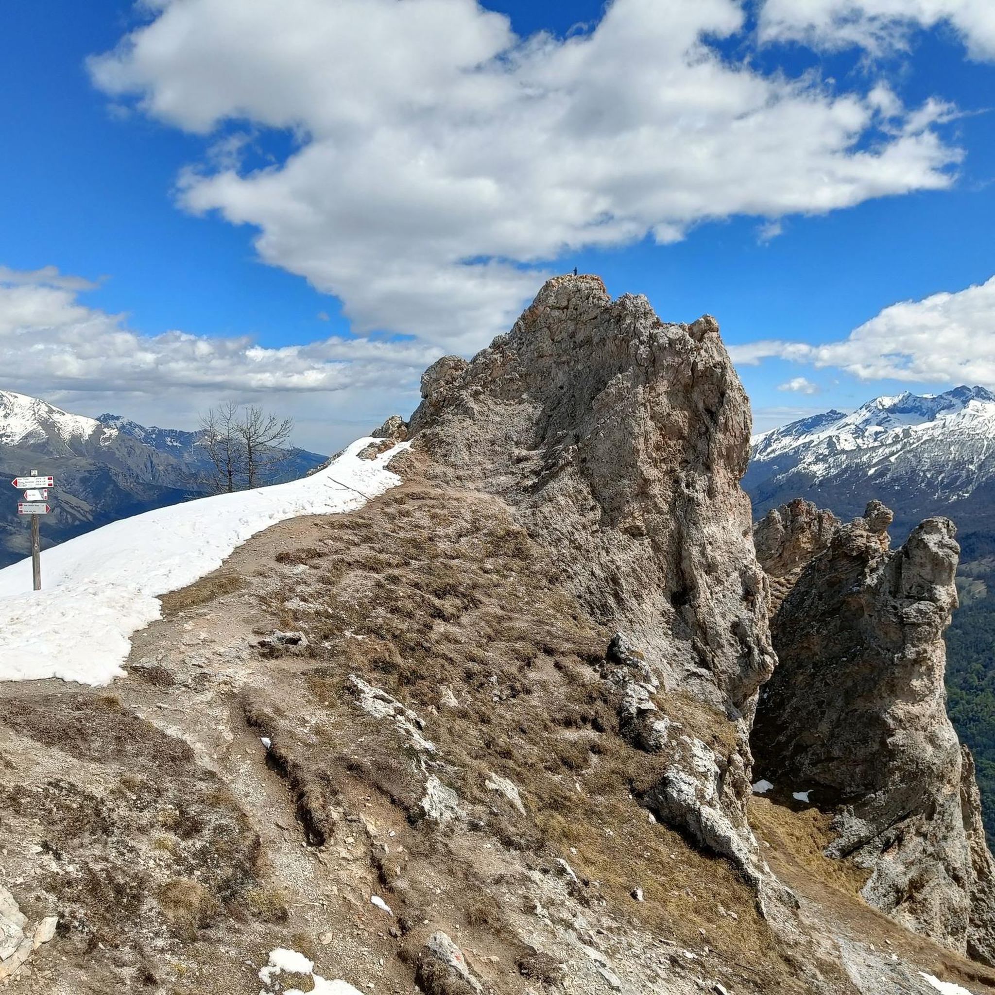
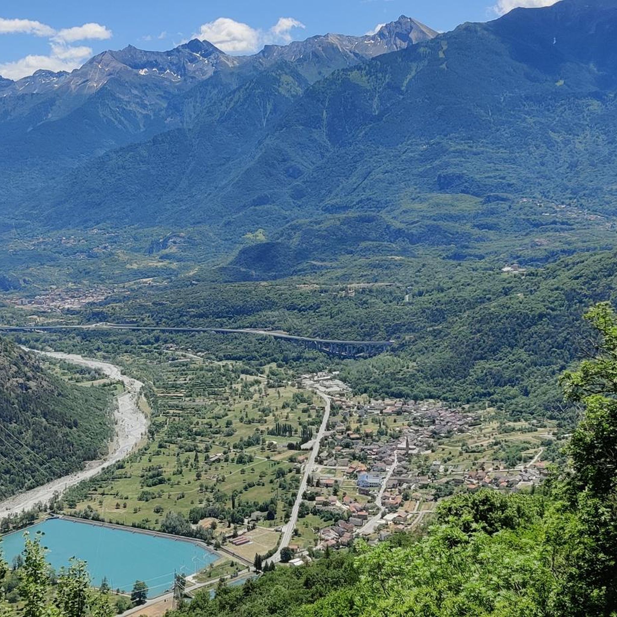
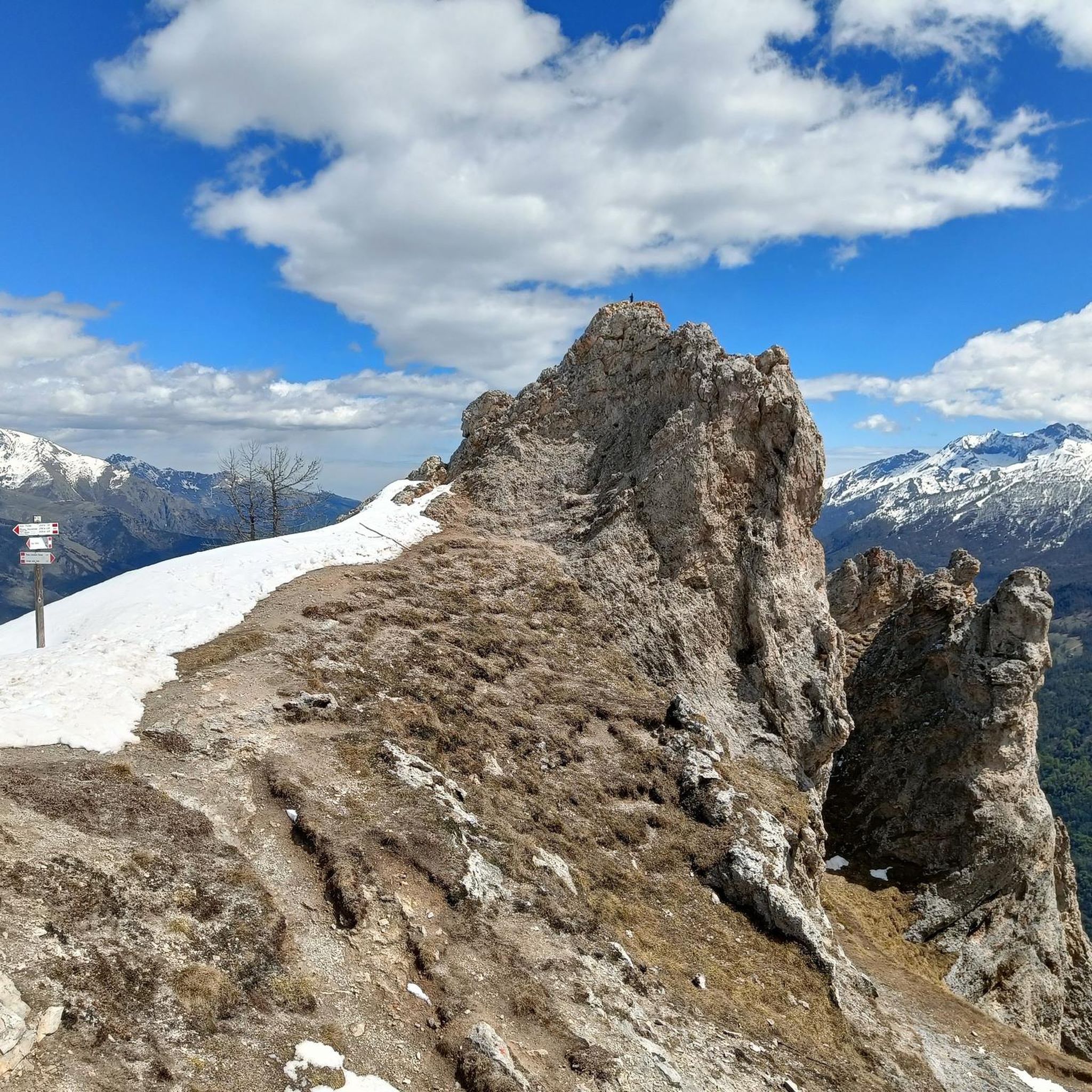
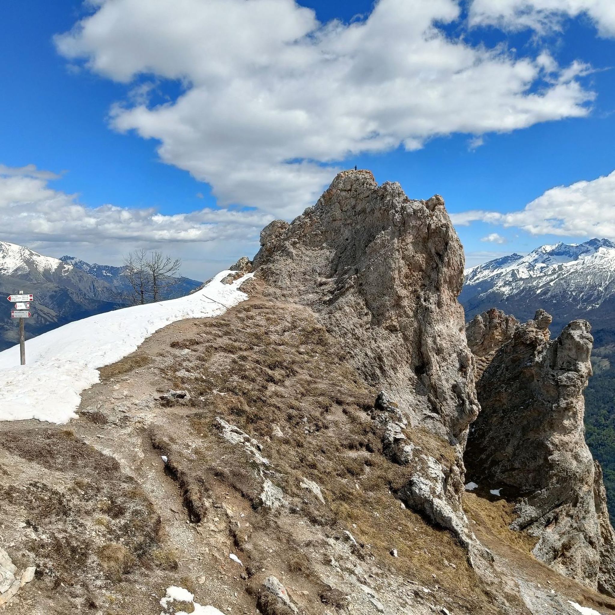
Gravel biking in Boscaglie Di Tasso Di Giaglione features routes characterized by significant elevation changes and mountain passes. The terrain often includes high-altitude trails and challenging climbs, typical of an alpine environment. This region offers a network of gravel bike trails that traverse varied landscapes, including areas around lakes and mountain refuges.
Best gravel bike trails in Boscaglie Di Tasso Di Giaglione
- The most popular gravel bike trail is Colle dell'Assietta – Blegier Pass loop from Chiomonte, a 37.3…
Last updated: July 15, 2026
3
riders
60.0km
05:50
2,300m
2,300m
Hard gravel ride. Very good fitness required. Mostly paved surfaces. Suitable for all skill levels.
5
riders
Moderate gravel ride. Good fitness required. Mostly paved surfaces. Suitable for all skill levels.

Sign up for free
20
riders
37.8km
03:13
1,140m
1,140m
Hard gravel ride. Very good fitness required. Mostly paved surfaces. Suitable for all skill levels.
5.0
(5)
129
riders
94.3km
07:59
3,120m
3,120m
Hard gravel ride. Very good fitness required. Mostly paved surfaces. Suitable for all skill levels.
5.0
(6)
73
riders
74.1km
08:04
2,500m
2,500m
Hard gravel ride. Very good fitness required. Mostly paved surfaces. Suitable for all skill levels.
Get access to more routes and recommendations from other explorers.
Sign up for free
Already have an account?
Our route recommendations are based on thousands of hikes, rides, and runs completed by other people on komoot.
Start today with a free account
Your next adventure awaits.
Login or Signup
Popular around Boscaglie Di Tasso Di Giaglione
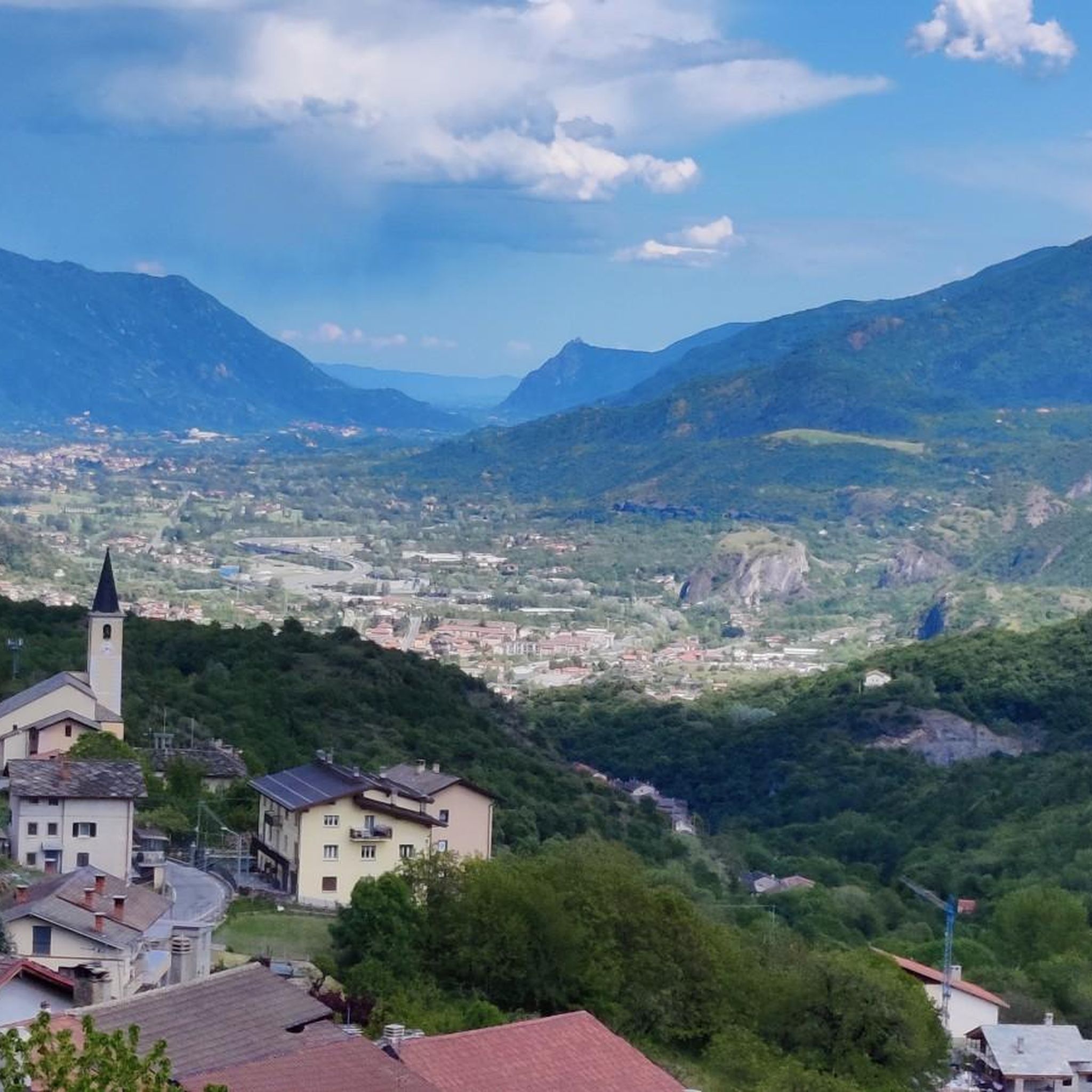
Tips from the Community

Gravel road with a view.
2
0
Gravel path with a view.
2
0
Very rocky path on the dam with great views of the lake and towards Italy.
3
0
Beautiful small road and great views.
2
0
Great view, probably less water from now on. Demanding trail.
2
0
Not only this small section, unpaved but traffic-free path on the south side. Without an e-bike, it is quite demanding.
2
0
For me a small climb, but nice surface and great landscape.
1
0
Frequently Asked Questions
What is the general difficulty level of gravel biking in Boscaglie Di Tasso Di Giaglione?
Gravel biking in Boscaglie Di Tasso Di Giaglione is generally challenging, characterized by significant elevation changes and high mountain passes. Most of the routes are classified as difficult, with only a few moderate options available. Be prepared for substantial ascents and alpine terrain.
Are there any easy or beginner-friendly gravel bike trails in Boscaglie Di Tasso Di Giaglione?
While most routes are difficult, there is a moderate option suitable for those looking for a less strenuous ride. The Refuge du Petit Mont Cenis – View of Lake Mont Cenis loop from Barrage du Mont Cenis is 19.35 km long and offers beautiful views without the extreme climbs of other trails.
What are the typical durations for gravel biking routes in this region?
The duration of gravel biking routes in Boscaglie Di Tasso Di Giaglione varies significantly based on difficulty and length. Moderate routes, like the Refuge du Petit Mont Cenis – View of Lake Mont Cenis loop, can take around 2 hours. More challenging routes, such as the Colle dell'Assietta – Blegier Pass loop from Chiomonte, often require 5 to 6 hours or more to complete due to their length and elevation gain.
Are there any circular gravel bike routes available?
Yes, many of the gravel bike trails in Boscaglie Di Tasso Di Giaglione are designed as loops. Examples include the Colle dell'Assietta – Blegier Pass loop from Chiomonte, the Refuge du Petit Mont Cenis – View of Lake Mont Cenis loop from Barrage du Mont Cenis, and the View of Lake Mont Cenis – Col de Sollières loop from Tagliata de la Cassa, offering convenient starting and ending points.
What is the best time of year for gravel biking in Boscaglie Di Tasso Di Giaglione?
Given the high-altitude and alpine nature of Boscaglie Di Tasso Di Giaglione, the best time for gravel biking is typically from late spring to early autumn (roughly June to September). During these months, snow has usually melted from the higher passes, and weather conditions are generally more stable and pleasant for cycling.
What kind of views or viewpoints can I expect along the gravel bike routes?
The gravel bike routes in Boscaglie Di Tasso Di Giaglione offer spectacular alpine views. You can expect panoramic vistas of mountain ranges, and several routes feature stunning views of Lake Mont Cenis. The high mountain passes themselves often serve as incredible viewpoints.
Are there any cafes or places to stop for refreshments along the trails?
While specific cafes directly on every trail are not guaranteed, some routes pass by mountain refuges, which often offer refreshments and a place to rest. For instance, the Refuge du Petit Mont Cenis – View of Lake Mont Cenis loop passes by a refuge, providing an opportunity for a break.
What do other gravel bikers enjoy most about gravel biking in Boscaglie Di Tasso Di Giaglione?
The area is highly rated by the komoot community, with an average score of 4.3 stars from over 20 reviews. Reviewers often praise the challenging nature of the routes, the breathtaking alpine scenery, and the sense of accomplishment from conquering the high mountain passes.
How many gravel bike trails are available in Boscaglie Di Tasso Di Giaglione?
There are approximately 10 gravel bike trails documented in Boscaglie Di Tasso Di Giaglione on komoot, offering a range of challenging experiences through its alpine landscape.
Is the Strada dell'Assietta accessible for gravel biking in this region?
Yes, the Strada dell'Assietta is a prominent feature in the region's gravel biking. Routes like the Assietta gravel ring from Susa - Salbertrand variant and the Strada dell'Assietta – Colle dell'Assietta loop from Susa incorporate sections of this famous high-altitude military road, offering epic and demanding rides.
What should I know about weather conditions when planning a gravel bike trip here?
Due to the high-altitude and mountainous terrain, weather conditions in Boscaglie Di Tasso Di Giaglione can change rapidly. Even in summer, temperatures can drop significantly at higher elevations, and sudden storms are possible. Always check the local forecast before heading out and be prepared for varying conditions, including wind and rain.
Are there any specific landmarks or points of interest along the gravel routes?
The region is rich in natural and historical points of interest. Key features include the stunning Lake Mont Cenis, various mountain passes like Colle dell'Assietta and Col de Sollières, and mountain refuges such as Refuge du Petit Mont Cenis. These offer both scenic beauty and historical significance within the alpine environment.
Most popular routes in Boscaglie Di Tasso Di Giaglione

Get inspired with the komoot mobile app


Explore more
Browse the best Gravel rides in other regions.
