The best gravel rides around Stevenson Ranch
5.0
(1)
31
riders
5
rides
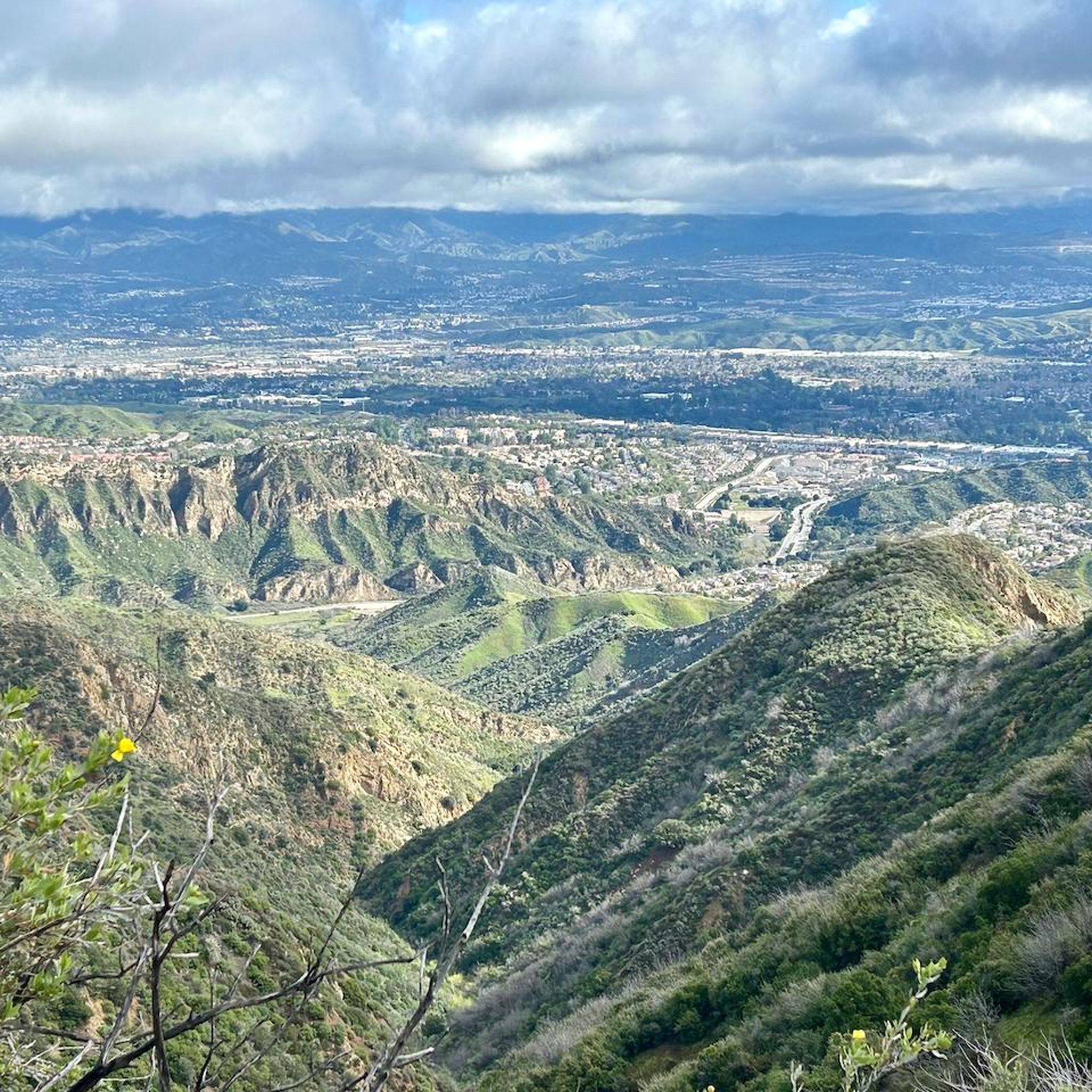
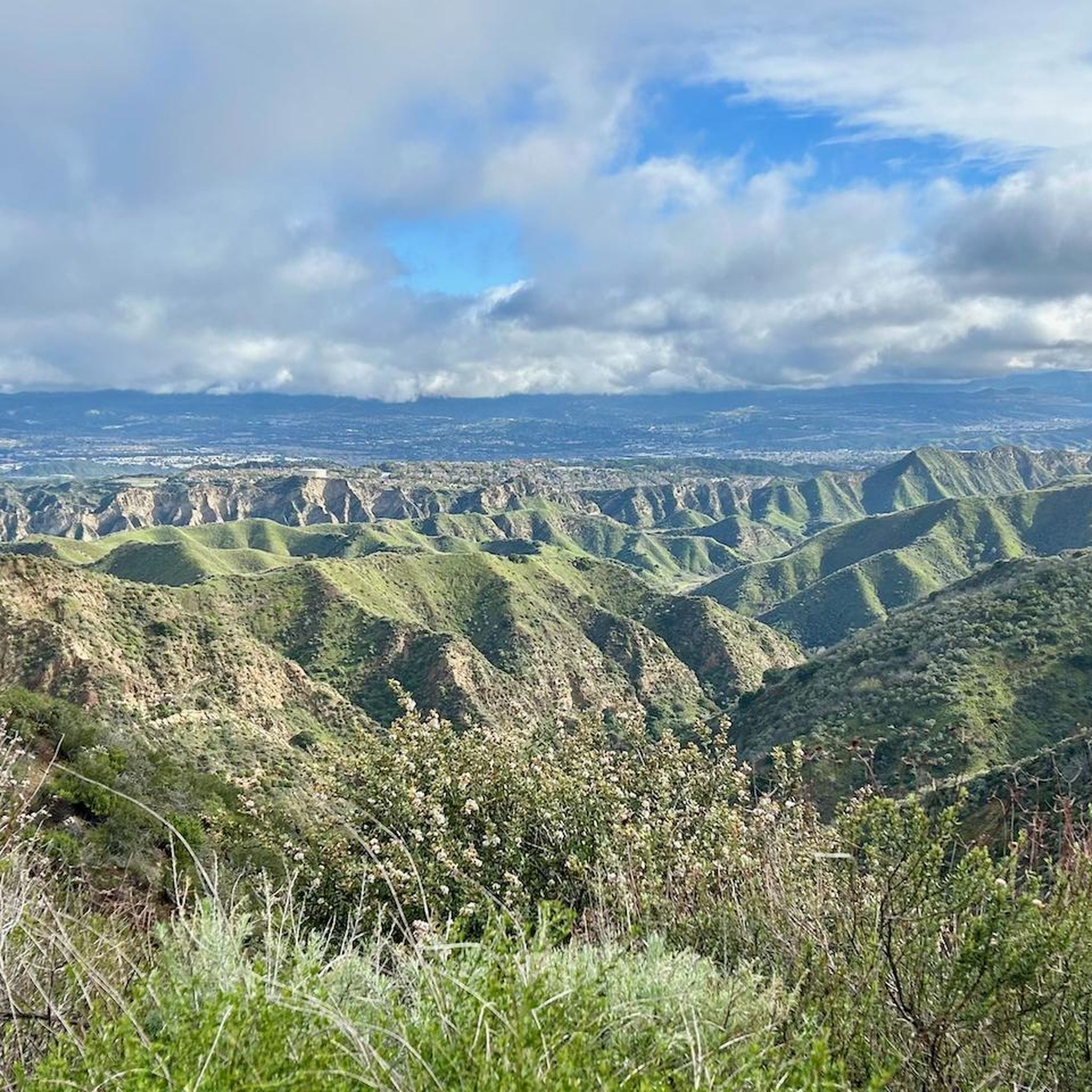
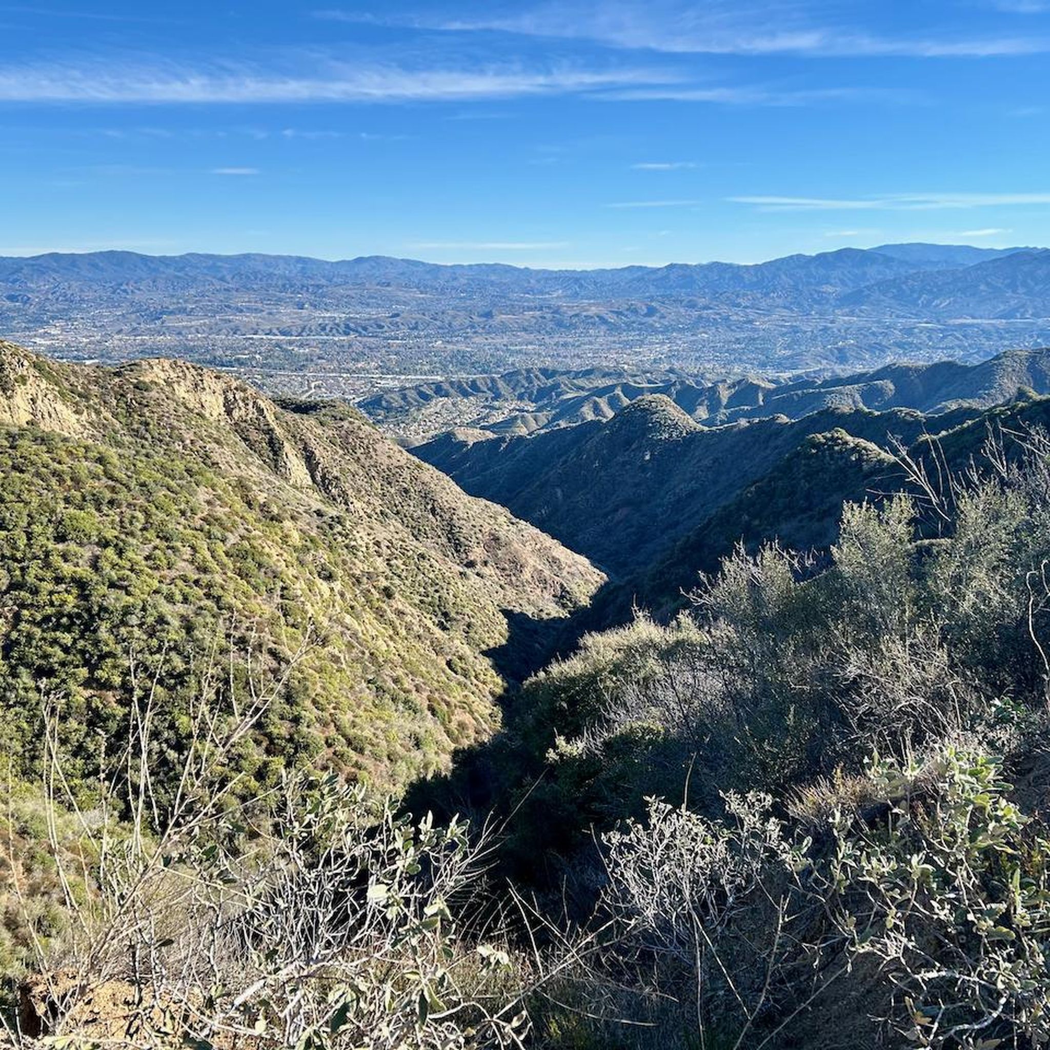
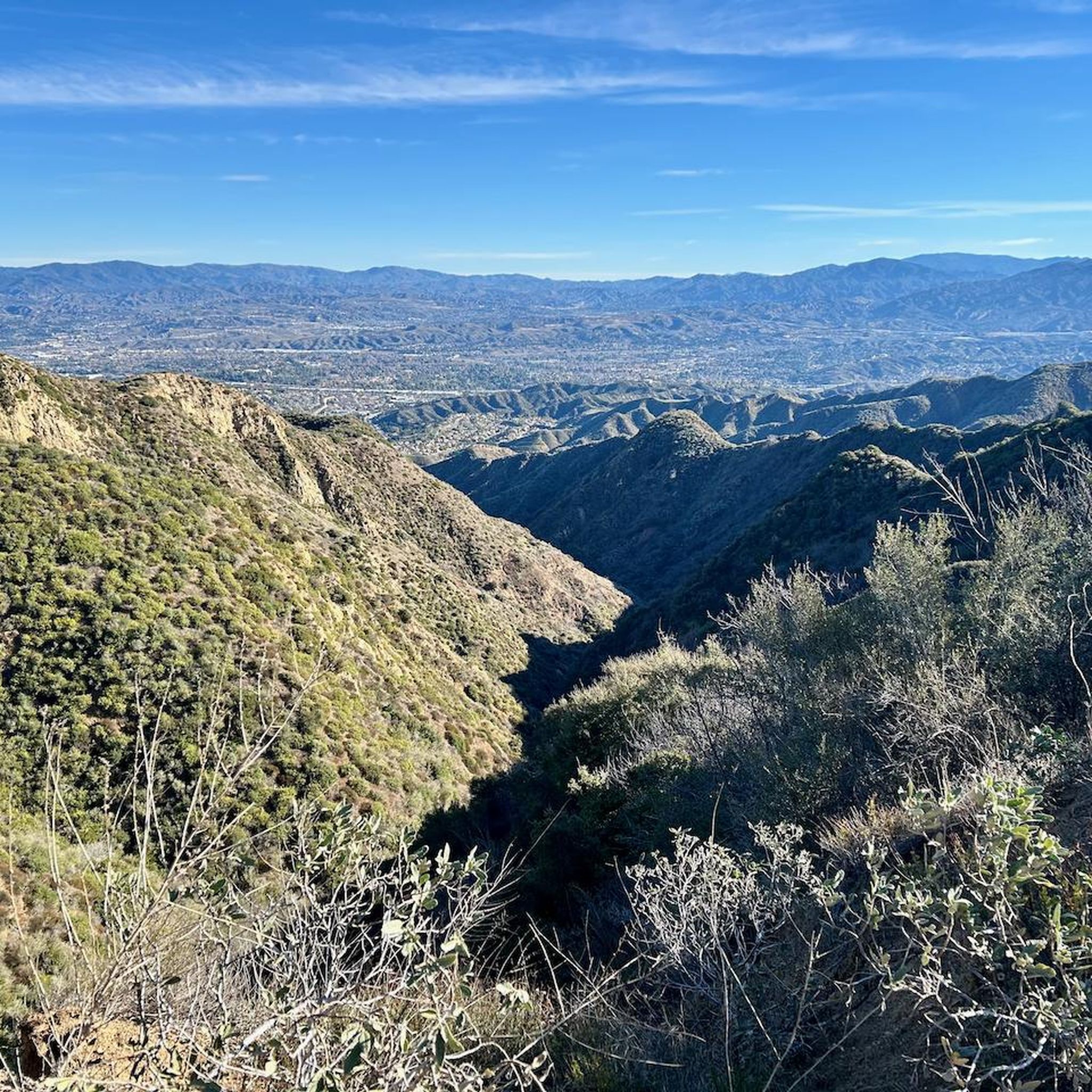
Gravel biking around Stevenson Ranch features a landscape characterized by rolling hills, expansive open spaces, and river valleys within the Santa Clarita Valley. The region offers varied terrain, including arid landscapes, canyon trails, and paths alongside dry riverbeds. Many routes traverse natural preserves and parklands, showcasing the area's unique flora and fauna. The terrain provides diverse surfaces and elevation changes, accommodating various skill levels.
Best gravel bike trails around Stevenson Ranch
- The most popular gravel bike trail is Entrance to…
Last updated: July 3, 2026
7
riders
16.6km
01:31
300m
300m
Moderate gravel ride. Good fitness required. Mostly paved surfaces. Suitable for all skill levels.
5
riders
58.6km
04:21
750m
750m
Hard gravel ride. Very good fitness required. Mostly paved surfaces. Suitable for all skill levels.

Sign up for free
8
riders
Hard gravel ride. Very good fitness required. Mostly paved surfaces. Suitable for all skill levels.
6
riders
Hard gravel ride. Very good fitness required. Mostly paved surfaces. Suitable for all skill levels.
Our route recommendations are based on thousands of hikes, rides, and runs completed by other people on komoot.
Start today with a free account
Your next adventure awaits.
Login or Signup
Tips from the Community

At about 84 miles long, the Santa Clara River is the largest natural river system in southern California remaining in a relatively undeveloped state. Along its length there is the 8 mile long Santa Clara River Trail, which is a paved bicycle and walking path in the city of Santa Clarita.
0
0
At about 84 miles long, the Santa Clara River is the largest natural river system in southern California remaining in a relatively undeveloped state. Along its length there is the 8 mile long Santa Clara River Trail, which is a paved bicycle and walking path in the city of Santa Clarita.
0
0

Chesebrough Park has a few paved paths that run through it and around it. There is also some open green space, restrooms, and a playground at the park. It's easy to make a loop using the park path and sidewalk on the outskirts of the property.
0
0

Side trails have been blocked because of motorcycles, but there is plenty of single track
1
0
Although you can pick it up higher. Local group had done a good job maintaining the trail
1
0
Frequently Asked Questions
What is the general difficulty level of gravel biking trails in Stevenson Ranch?
Gravel biking around Stevenson Ranch is primarily suited for moderate to difficult ability levels. The terrain features significant climbs and descents, with most routes categorized as difficult. There is one moderate route, Entrance to G out trail loop from Castaic, which still features varied terrain and notable elevation changes.
Are there any long-distance gravel bike routes available in Stevenson Ranch?
Yes, Stevenson Ranch offers several longer gravel bike routes. For instance, the Santa Clara River – Santa Clara River loop from Santa Clarita spans 33.7 miles (54.2 km) with over 3,000 feet of elevation gain, typically taking around 4 hours 26 minutes. Another option is the San Francisquito Motorway loop from Plum Canyon, which is 28.7 miles (46.3 km) long.
What kind of terrain can I expect on gravel bike trails in Stevenson Ranch?
You can expect a diverse landscape characterized by rolling hills, open spaces, and river valleys. Routes often include sections along the Santa Clara River and through areas like the MCRA Open Space. The terrain is varied, featuring significant elevation gains that provide challenging climbs and descents.
What do other gravel bikers enjoy most about gravel biking in Stevenson Ranch?
The routes in Stevenson Ranch are highly rated by the komoot community, with an average score of 5.0 stars. Reviewers often praise the varied terrain, the challenging climbs, and the opportunity to explore open spaces and riverine paths.
Are there any circular gravel bike routes in the Stevenson Ranch area?
Yes, many of the gravel bike routes in Stevenson Ranch are designed as loops. Examples include the MCRA Open Space – Santa Clara Trail loop from Newhall and the Iron Horse Bridge – San Francisquito Creek Trail loop from Saugus, both offering a complete circular experience.
What are some scenic viewpoints or landmarks I might encounter on the trails?
Along the trails, you might encounter several interesting landmarks and natural features. The Iron Horse Bridge is a notable point of interest, and routes often follow the San Francisquito Creek Trail and the Santa Clara River, offering scenic riverine views.
What is the best time of year to go gravel biking in Stevenson Ranch?
Stevenson Ranch generally experiences a Mediterranean climate with hot, dry summers and mild, wet winters. The best times for gravel biking are typically spring and fall when temperatures are more moderate. Winter can also be pleasant, but be mindful of potential rain and cooler temperatures, especially in the mornings.
What should I wear for gravel biking in Stevenson Ranch?
Given the varied terrain and potential for significant elevation changes, it's advisable to wear appropriate cycling gear that can handle both climbs and descents. Layers are recommended, especially during cooler months or for early morning rides, as temperatures can fluctuate. Always bring plenty of water, as the region can be warm and exposed.
How many gravel bike trails are there in Stevenson Ranch?
There are at least 6 gravel bike routes documented in the Stevenson Ranch area, offering a range of experiences from moderate to difficult, with a strong emphasis on challenging rides through hilly and open terrain.
Are there any specific parking recommendations for accessing gravel bike trails?
While specific parking areas are not detailed for every route, many trails around Stevenson Ranch are accessible from various points within Newhall, Castaic, and Saugus. It's generally recommended to check the starting point of your chosen route on komoot for the most accurate parking information, often near trailheads or local parks.
How does gravel biking in Stevenson Ranch compare to Santa Clarita?
Gravel biking in Stevenson Ranch shares similarities with Santa Clarita, as both areas feature rolling hills, open spaces, and river valleys, particularly along the Santa Clara River. Stevenson Ranch routes are noted for significant elevation gains and challenging climbs, making them suitable for experienced riders. Santa Clarita also offers diverse terrain, and many routes, like the Santa Clara River – Santa Clara River loop from Santa Clarita, connect the two regions.
Most popular attractions around Stevenson Ranch

Get inspired with the komoot mobile app


Explore more
Browse the best Gravel rides in other regions.
