The best gravel rides around Placentia
4.8
(14)
75
riders
13
rides
Gravel biking around Placentia, California, offers access to a diverse network of trails and natural landscapes within Orange County. The region features rolling hills, extensive park systems, and varied terrain suitable for gravel cyclists. Riders can explore wide dirt roads, some technical single tracks, and fire roads that traverse wooded riparian areas and open spaces. This area provides a mix of hardpack dirt, small rocks, and more rugged conditions across its trail systems.
Best gravel bike trails around Placentia
- The…
Last updated: July 3, 2026
4.8
(5)
26
riders
Hard gravel ride. Very good fitness required. Mostly paved surfaces. Suitable for all skill levels.
9
riders
47.6km
04:40
1,020m
1,020m
Hard gravel ride. Very good fitness required. Mostly paved surfaces. Suitable for all skill levels.

Sign up for free
5.0
(1)
12
riders
64.8km
04:22
510m
510m
Hard gravel ride. Very good fitness required. Mostly paved surfaces. Suitable for all skill levels.
5.0
(4)
8
riders
19.9km
01:18
220m
220m
Moderate gravel ride. Good fitness required. Mostly paved surfaces. Suitable for all skill levels.
5
riders
55.7km
04:29
1,060m
1,060m
The Sierra Peak Summit loop from Yorba Regional Park is a challenging gravel biking route that rewards your effort with truly expansive views. You'll navigate through rolling, chaparral-covered hills and…
Get access to more routes and recommendations from other explorers.
Sign up for free
Already have an account?
Our route recommendations are based on thousands of hikes, rides, and runs completed by other people on komoot.
Start today with a free account
Your next adventure awaits.
Login or Signup

Tips from the Community

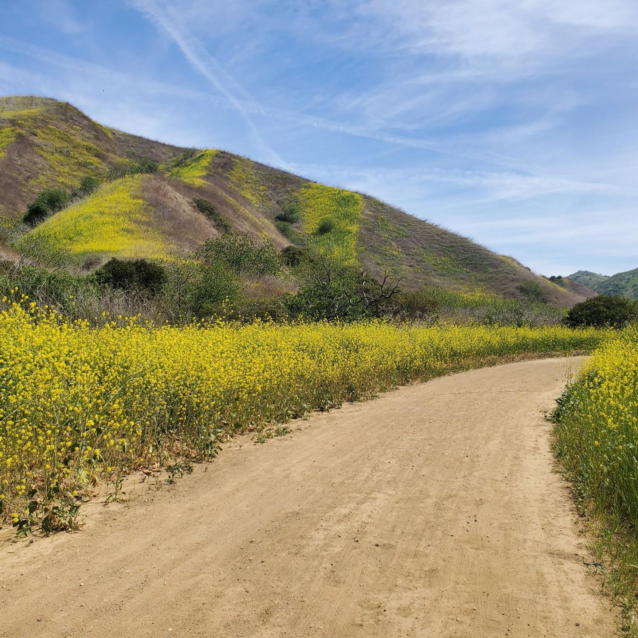
This is the intersection of five trails: Raptor Ridge Trail, North Ridge Trail, Bovinian Delight Trail or Telegraph Canyon Road. There are also some boards with information about the trails and a restroom.
0
0

Bring plenty of water. There only are water fountains midway in Anaheim.
0
0

This view of Sierra Peak showcases one of the highest and most easily identifiable peaks in northern Orange County. It stands at 3,045 feet above sea level.
1
0
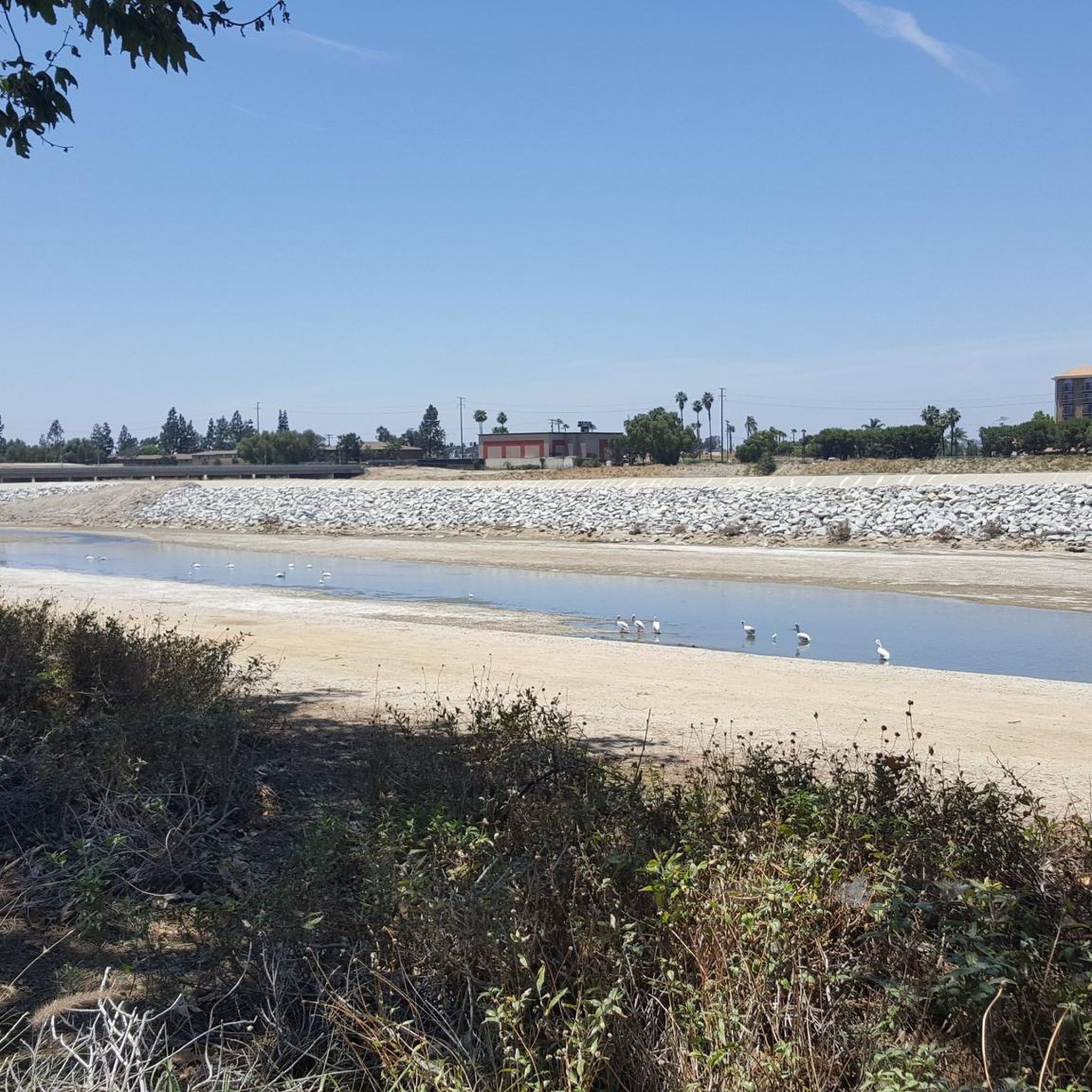
The Brea Dam Trail is a short but scenic path located near the Brea Dam. It connects to other nearby trails, such as the Juanita Cooke Trail and Hiltscher Park Trail, making it easy to extend the ride. The surface is dirt, and the views of the dam area are great. There will be some urban noise and occasional wildlife sightings.
0
0
The Fullerton Golf Course has 18 holes and spans 125 acres.
0
0

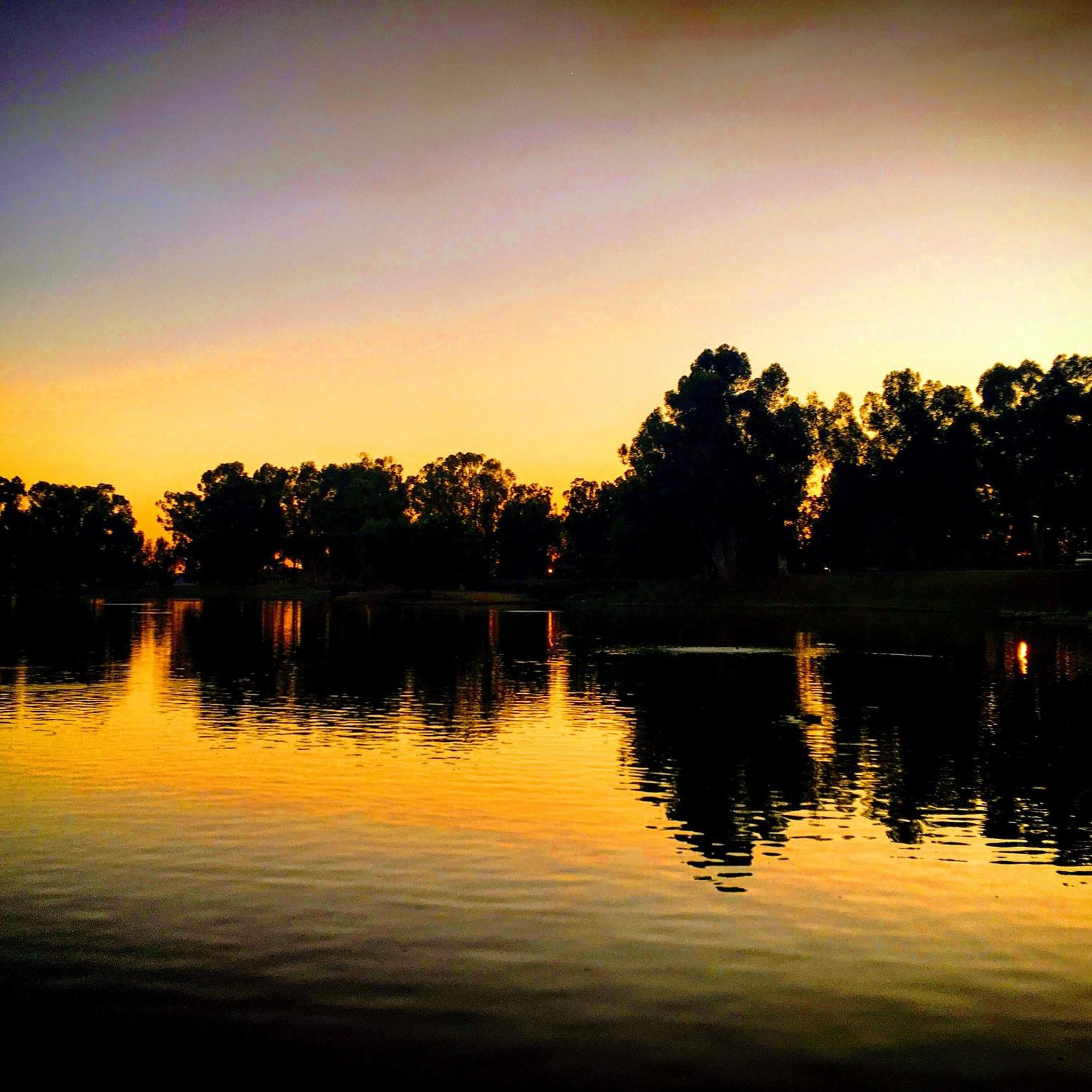
Carbon Canyon Regional Park is a great local park with a small lake and some nature trails featuring Redwoods and the Carbon Canyon Creek. It connects to the Chino Hills State Park and is a great spot for some quick day hiking, fishing, sports, or just sitting and enjoying some nature.
0
0

Frequently Asked Questions
How many gravel bike trails are available around Placentia?
Placentia offers a good selection of gravel biking routes, with around 14 trails documented on komoot. These routes cater to various skill levels, including easy, moderate, and difficult options.
Are there easy gravel bike trails suitable for beginners or families in the Placentia area?
Yes, there are several easy gravel bike trails perfect for beginners or family outings. A great option is the Laguna Lake – Laguna Lake loop from Sunny Hills High School, which is 13.5 km long and offers a gentle ride. The region's extensive park systems, like parts of Carbon Canyon Regional Park, also provide accessible dirt/gravel roads.
What are some challenging gravel bike routes for experienced riders near Placentia?
Experienced gravel bikers looking for a challenge will find several difficult routes. The View of Yorba Linda – Four Corners loop from Carbon Canyon Regional Park is a demanding 47.6 km trail with significant elevation gain. Additionally, the Santa Ana Mountains offer challenging fire roads like the Harding Truck Trail, known for its varied terrain and climbs.
Where can I find parking for gravel bike trails in Placentia?
Many trailheads in the Placentia area offer convenient parking. For instance, routes originating from places like Carbon Canyon Regional Park or near Sunny Hills High School typically have parking facilities. When planning your ride, check the specific tour details on komoot for trailhead information and parking availability.
Are there any scenic viewpoints or natural attractions along the gravel bike trails?
Absolutely! The trails around Placentia offer diverse scenery. Chino Hills State Park provides stunning spring blooms and rewarding views from climbs like Telegraph Canyon. Carbon Canyon Regional Park is home to Orange County's only grove of Coastal Redwood trees, a unique natural attraction. You can also explore highlights like Tri City Park Lake or the Carbon Canyon Regional Park itself.
Can I access gravel bike trails near Placentia using public transport?
While direct public transport access to all gravel trailheads can be limited, some areas, particularly those closer to urban centers or along the Santa Ana River Trail, might be reachable. For specific routes, it's best to check local public transport schedules and bike-on-bus policies to plan your journey to the starting points.
What kind of terrain can I expect on gravel bike trails around Placentia?
The gravel biking terrain around Placentia is quite varied. You'll encounter wide dirt roads, some technical single tracks, and fire roads. The surfaces range from hardpack dirt and small rocks to more rugged conditions, especially in areas like Chino Hills State Park and the Santa Ana Mountains. This diversity allows riders to choose routes based on their preferred challenge.
Are there any loop trails for gravel biking in Placentia?
Yes, many of the gravel bike routes around Placentia are designed as loops, offering a continuous riding experience. For example, the Fullerton Loop Trail – Brea Dam loop from Fullerton is a popular moderate loop. Another option is the Four Corners – Telegraph Canyon Trail loop from Country Hills, which is a more difficult loop through Chino Hills State Park.
What do other gravel bikers say about the trails in Placentia?
The gravel biking routes around Placentia are highly regarded by the komoot community, boasting an average rating of 4.8 stars from over 15 reviews. Riders frequently praise the diverse ecosystems, rolling hills, and the extensive network of trails that offer options for all ability levels.
Are there any specific landmarks or points of interest I might see while gravel biking?
Beyond natural beauty, you might encounter interesting landmarks. The Santa Ana River Trail, which has gravel-friendly segments, passes by notable sites like Angel Stadium. The Four Corners area is also a recognized point of interest within the trail network.
What is the best time of year for gravel biking in Placentia?
Placentia generally offers good gravel biking conditions year-round due to its mild climate. However, early spring and summer are particularly rewarding, especially in areas like Chino Hills State Park, where you can witness stunning spring blooms. Always check local weather conditions before heading out.
Are there any gravel bike trails that connect to other parks or trail systems?
Yes, the trail network around Placentia is well-connected. Carbon Canyon Regional Park, for instance, connects seamlessly with Chino Hills State Park, allowing for extended rides through diverse ecosystems. The Santa Ana River Trail also links various parks and areas, providing a versatile option for longer journeys.
Most popular attractions around Placentia

Get inspired with the komoot mobile app


Explore more
Browse the best Gravel rides in other regions.
