The best running trails around Etang De La Chapelle
4.9
(6)
142
runners
12
runs
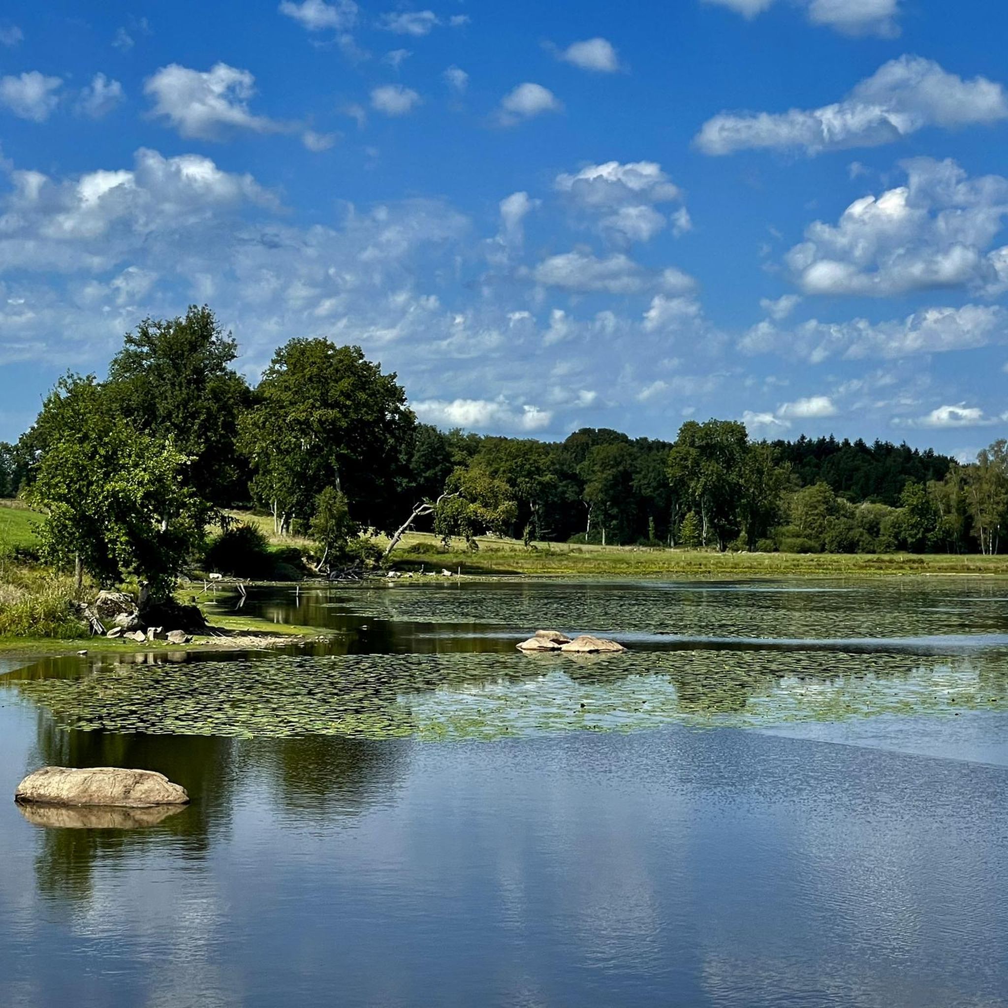
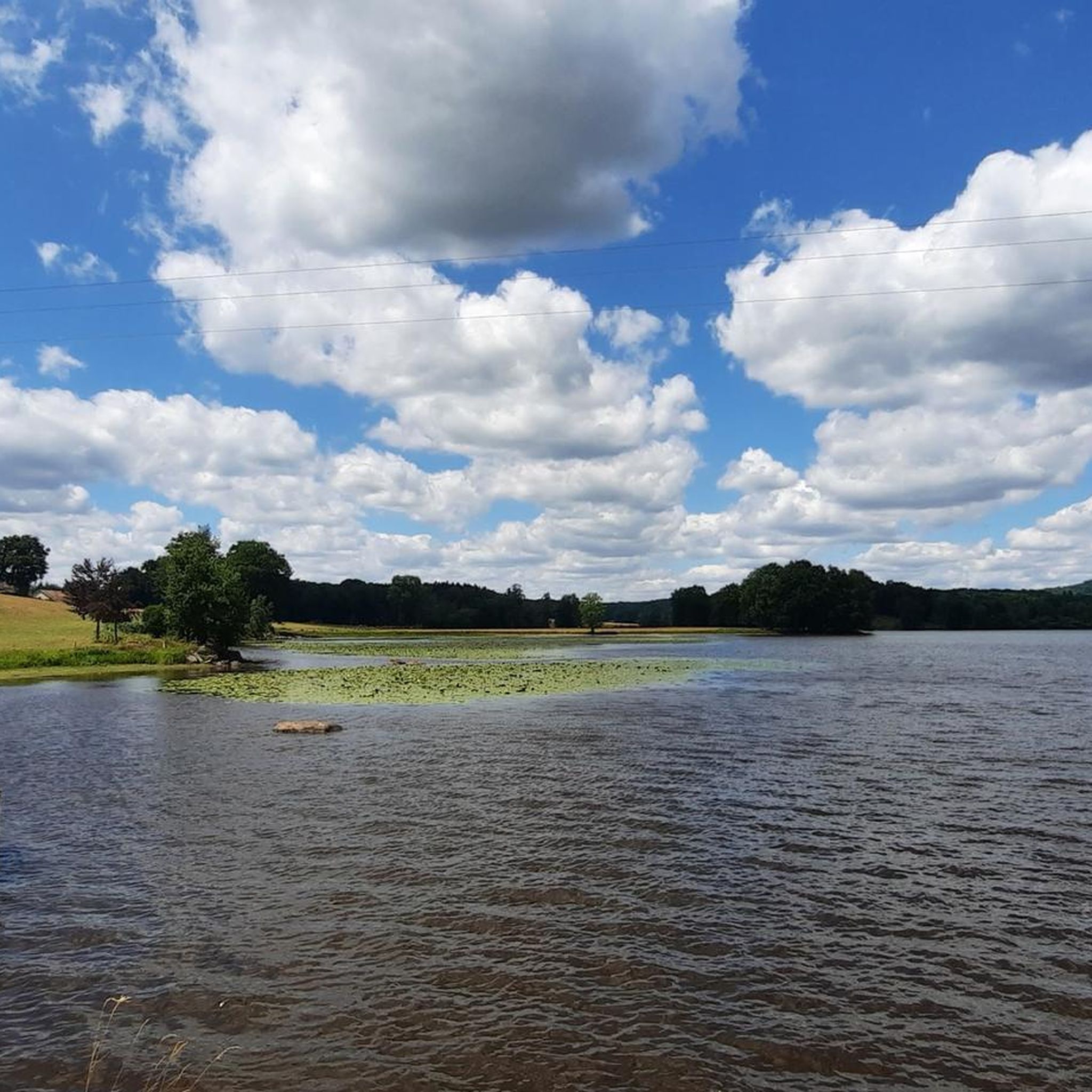
Jogging around Etang De La Chapelle offers diverse routes through a landscape characterized by rolling hills and lush greenery. The region features natural settings with woodlands and tranquil ponds, providing varied terrain for runners. These paths often wind through agricultural fields and offer views of the surrounding countryside, making it suitable for active pursuits. The area provides a mix of accessible routes and more demanding trails, catering to different fitness levels.
Best jogging routes around Etang De La Chapelle
- The most popular jogging route is Running loop from Lépinas, a 7.0 miles (11.2 km) trail that takes 1 hour 20 minutes to complete. This moderate route offers scenic views of the French countryside.
- Another top favourite among local runners is Bridge over the Thaurion loop from La Pouge, a moderate 9.0 miles (14.5 km) path. This route features varied terrain and river crossings, ideal for a longer run.
- Local runners also love the Running loop from Sardent, a 4.4 miles (7.0 km) trail leading through woodlands and open fields, often completed in about 45 minutes.
- Jogging around Etang De La Chapelle is defined by rolling hills, lush greenery, and tranquil natural settings. The network offers options for different ability levels, from moderate paths to more challenging routes.
- The routes in Etang De La Chapelle are highly rated by the komoot community with an average score of 4.5 stars from a few reviews. More than 40 runners have used komoot to explore Etang De La Chapelle's varied terrain.
Last updated: July 1, 2026
2
runners
7.67km
00:55
120m
120m
Moderate run. Good fitness required. Mostly paved surfaces. Suitable for all skill levels.
2
runners
14.5km
01:35
220m
220m
Moderate run. Good fitness required. Mostly paved surfaces. Suitable for all skill levels.

Sign up for free
2
runners
7.05km
00:46
100m
100m
Moderate run. Good fitness required. Mostly paved surfaces. Suitable for all skill levels.
1
runners
7.69km
00:49
110m
110m
Moderate run. Good fitness required. Mostly paved surfaces. Suitable for all skill levels.
5.0
(2)
24
runners
10.1km
01:18
260m
270m
Moderate run. Good fitness required. Mostly paved surfaces. Suitable for all skill levels.
Get access to more routes and recommendations from other explorers.
Sign up for free
Already have an account?
Our route recommendations are based on thousands of hikes, rides, and runs completed by other people on komoot.
Start today with a free account
Your next adventure awaits.
Login or Signup

Tips from the Community

Church of Saint-Martin de Sardent, from the 13th century. The bell tower is covered with shingles and the southern portal is listed as a Historic Monument.
2
0

Woods, paths and roads What a foot
0
0
Frequently Asked Questions
What kind of terrain can I expect on the running routes around Etang De La Chapelle?
The running routes in the Etang De La Chapelle region feature diverse terrain, characterized by rolling hills and lush greenery. You'll find paths winding through woodlands, open agricultural fields, and along tranquil ponds, offering a varied natural experience for runners.
Are there running routes suitable for all fitness levels in Etang De La Chapelle?
Yes, the area offers a mix of running paths catering to different abilities. While the guide primarily lists moderate and difficult routes, the overall network includes options from accessible trails to more challenging routes with significant elevation gain, ensuring there's something for every fitness level.
What natural features or viewpoints can I expect to see while running near Etang De La Chapelle?
Runners can enjoy scenic landscapes including tranquil lakes and ponds, diverse flora like wildflowers, and surrounding woodlands. Many routes offer panoramic views of the French countryside, providing a beautiful backdrop for your run.
Are there any historical sites or landmarks near the running paths?
Some areas around Etang De La Chapelle are close to historical sites. For instance, one location is near the historic town of Châlus, which features the ruins of Châlus-Chabrol Castle, adding a cultural dimension to your outdoor excursion.
How many running routes are available in the Etang De La Chapelle region?
There are 10 running routes detailed in this guide for the Etang De La Chapelle region. These routes offer a variety of distances and difficulties to explore the local landscape.
What do other runners enjoy most about jogging in Etang De La Chapelle?
The running routes in Etang De La Chapelle are highly rated by the komoot community, with an average score of 4.5 stars. Runners often praise the scenic views, varied terrain, and the peaceful natural settings that make for an enjoyable experience.
Are there any circular running routes available?
Yes, many of the routes in the Etang De La Chapelle area are circular, allowing you to start and finish at the same point. Examples include the Running loop from Lépinas and the Running loop from Sardent.
What is a good moderate-difficulty running route for a longer run?
For a longer, moderate run with varied terrain, consider the Bridge over the Thaurion loop from La Pouge. This 9.0 miles (14.5 km) path features river crossings and takes approximately 1 hour 35 minutes to complete.
Is there a running route that passes by a château?
Yes, the Château de Beaumont loop from Saint-Yrieix-les-Bois is a moderate 7.7 miles (12.4 km) route that offers views of the Château de Beaumont, combining natural beauty with a touch of local history.
What is a good running route for exploring woodlands and open fields?
The Running loop from Sardent is an excellent choice. This 4.4 miles (7.0 km) moderate trail leads you through both woodlands and open fields, typically taking about 45 minutes.
Are there any running routes with significant elevation for a more challenging workout?
For a more challenging run with notable elevation gain, the Wolves loop from Savennes is a good option. This 10.1 km (6.3 miles) route features over 260 meters of ascent, providing a vigorous workout.
Most popular routes around Etang De La Chapelle

Get inspired with the komoot mobile app


Explore more
Browse the best Running Trails & Routes in other regions.
