The best running trails around Cubry-Lès-Faverney
32
runners
19
runs
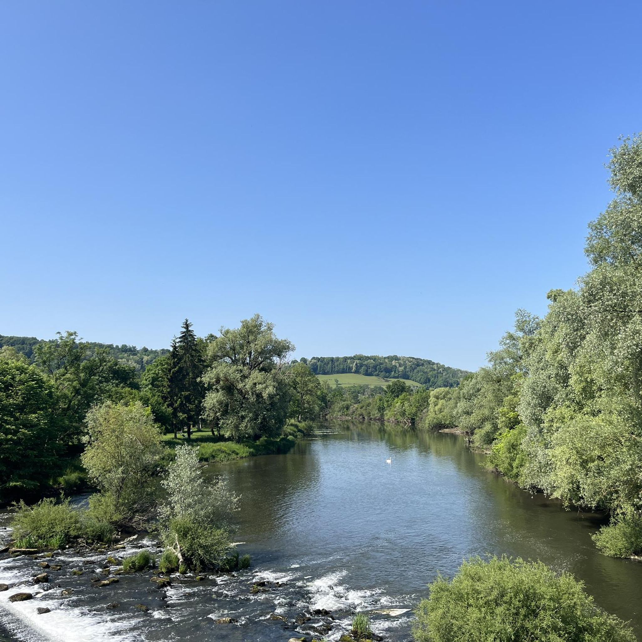
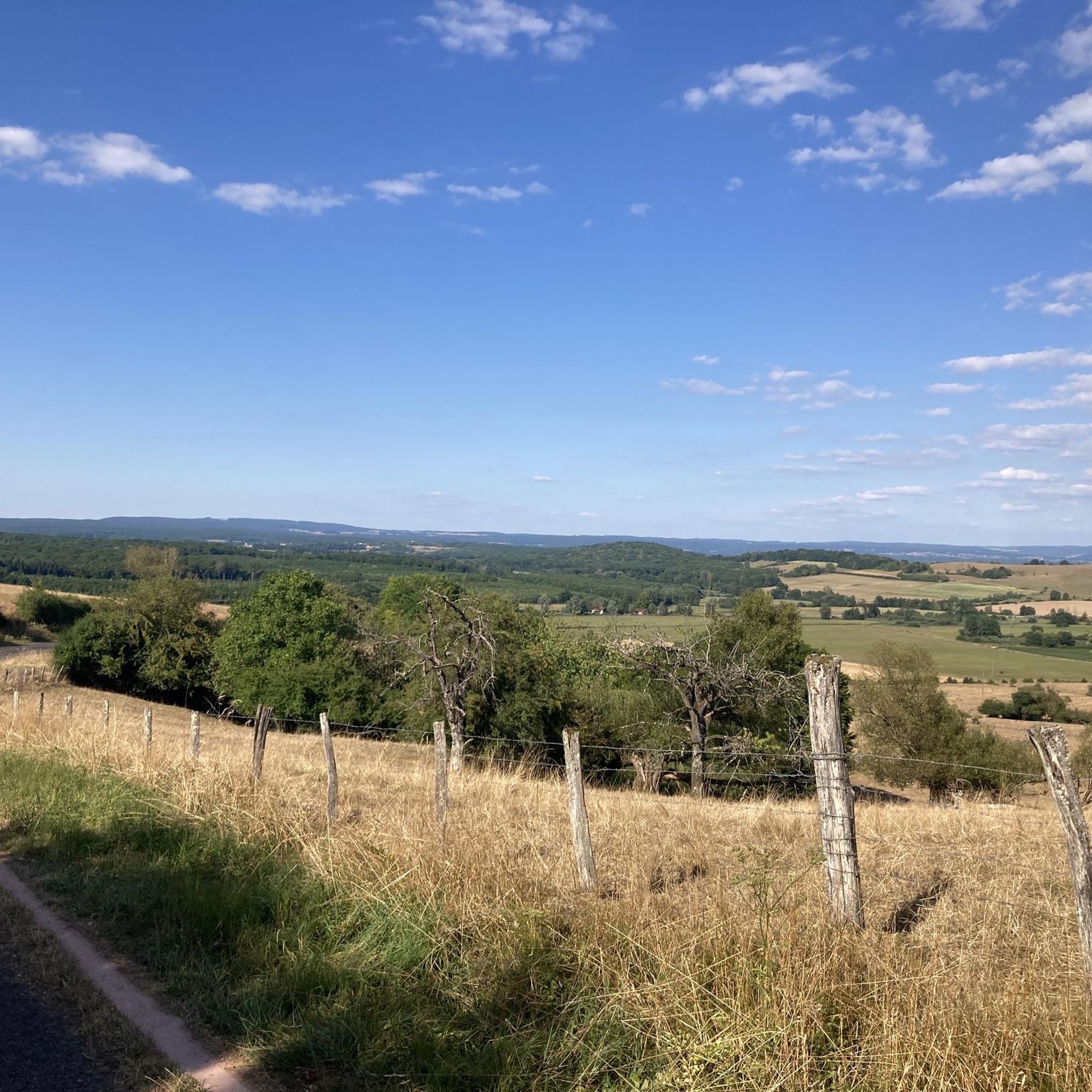
Jogging routes around Cubry-Lès-Faverney are situated in the Haute-Saône department of the Bourgogne-Franche-Comté region in eastern France. The area is characterized by a landscape of meadows, ponds, and woods, providing varied backdrops for outdoor exercise. The commune is bisected by the Canes stream and features a communal forest, offering natural settings for running. The region's proximity to the Ballons des Vosges also influences the local terrain, providing a mix of accessible paths and more varied landscapes.
Best jogging routes around…
Last updated: June 29, 2026
5
runners
7.23km
00:50
30m
30m
Moderate run. Good fitness required. Mostly paved surfaces. Suitable for all skill levels.
4
runners
8.56km
00:53
40m
40m
Moderate run. Good fitness required. Mostly paved surfaces. Suitable for all skill levels.

Sign up for free
3
runners
15.8km
01:46
110m
110m
Hard run. Very good fitness required. Mostly paved surfaces. Suitable for all skill levels.
3
runners
6.99km
00:44
70m
70m
Moderate run. Good fitness required. Mostly paved surfaces. Suitable for all skill levels.
5
runners
8.30km
00:53
30m
30m
Moderate run. Good fitness required. Mostly paved surfaces. Suitable for all skill levels.
Get access to more routes and recommendations from other explorers.
Sign up for free
Already have an account?
Our route recommendations are based on thousands of hikes, rides, and runs completed by other people on komoot.
Start today with a free account
Your next adventure awaits.
Login or Signup


Tips from the Community

The closer you get to the actual source, the stronger the blue color of the crystal clear water becomes!
7
0

Fantastic to enjoy this piece of nature quietly!
1
0

A true mystery of life. This pond is actually a sinkhole, but instead of being bottomless, it is only 35m deep. Its crystalline turquoise hues hide a mystery: the water remains at a mild temperature of 11°c, summer and winter alike.
2
0
A true mystery of life. This pond is actually a sinkhole, but instead of being bottomless, it is only 35m deep. Its crystalline turquoise hues hide a mystery: the water remains at a mild temperature of 11°c, summer and winter alike.
4
0


Frequently Asked Questions
How many running routes are available around Cubry-Lès-Faverney?
There are 15 dedicated running routes around Cubry-Lès-Faverney listed on Komoot. These routes cater to various fitness levels, from easy paths to more challenging trails, allowing you to explore the region's diverse landscapes.
What kind of terrain can I expect on the jogging trails in Cubry-Lès-Faverney?
The jogging trails around Cubry-Lès-Faverney feature a varied landscape of meadows, ponds, and woods. Many routes, such as the Running loop from Breurey-lès-Faverney, offer mostly asphalted surfaces, while others like the Running loop from Bassigney lead through natural settings of meadows and woods.
Are there any easy running routes suitable for beginners or a relaxed jog?
Yes, there is 1 easy running route available, alongside 12 moderate options. These routes are generally accessible and provide a pleasant experience for beginners or those looking for a less strenuous run through the scenic local countryside.
Are there any longer distance running trails for advanced runners?
While most routes are moderate, there are 2 difficult running trails for those seeking a greater challenge. The longest route listed in this guide is the Running loop from Bassigney, which covers 5.3 miles (8.6 km).
What natural features or attractions can I see while running in the area?
The region is rich in natural beauty. You can expect to see the communal forest of Cubry-Lès-Faverney, the tranquil Canes stream, and various meadows and ponds. The area's proximity to the Ballons des Vosges also hints at a diverse landscape, though specific mountain trails are further afield. The Château de Contréglise loop from Contréglise offers a glimpse of local architecture.
Are the running routes around Cubry-Lès-Faverney suitable for families?
Many of the routes are considered moderate, and with 1 easy route available, families can find suitable options for a leisurely jog or walk. The varied terrain of meadows and woods provides a pleasant environment for outdoor activity with children.
What do other runners say about the trails in Cubry-Lès-Faverney?
More than 30 runners have used Komoot to explore Cubry-Lès-Faverney's varied terrain. They often praise the accessible routes and the picturesque backdrop of meadows, ponds, and woods, making for an enjoyable outdoor exercise experience.
Is there public transport available to reach the trailheads?
The guide does not specify direct public transport links to individual trailheads within Cubry-Lès-Faverney. It is advisable to check local bus schedules or consider driving to the starting points of routes such as the Running loop from Conflans-sur-Lanterne or Running loop from Mersuay.
Where can I find parking near the running routes?
Specific parking locations for each trailhead are not detailed in this guide. However, for routes starting from nearby villages like Conflans-sur-Lanterne, Breurey-lès-Faverney, or Bassigney, you can typically find parking in the village centers or designated areas close to the route's start. Always check local signage for parking regulations.
Are there any circular running routes in Cubry-Lès-Faverney?
Yes, many of the routes are designed as loops, offering convenient circular paths. Examples include the popular Running loop from Conflans-sur-Lanterne, the Running loop from Breurey-lès-Faverney, and the Running loop from Bassigney, allowing you to start and finish at the same point.
What is the best time of year to go running in Cubry-Lès-Faverney?
The Bourgogne-Franche-Comté region generally offers pleasant conditions for outdoor activities during spring, summer, and early autumn. These seasons provide milder temperatures and lush scenery, making them ideal for enjoying the varied terrain of meadows, ponds, and woods around Cubry-Lès-Faverney.
Are the running trails dog-friendly?
While specific regulations for dogs on trails are not provided, generally, dogs are welcome on many outdoor paths in rural France, especially if kept on a leash. It's always recommended to check local signage or specific route details for any restrictions, particularly in protected natural areas or private lands.

Get inspired with the komoot mobile app


Explore more
Browse the best Running Trails & Routes in other regions.
