The best walks and hikes around Bettencourt-Rivière
4.6
(157)
817
hikers
70
hikes
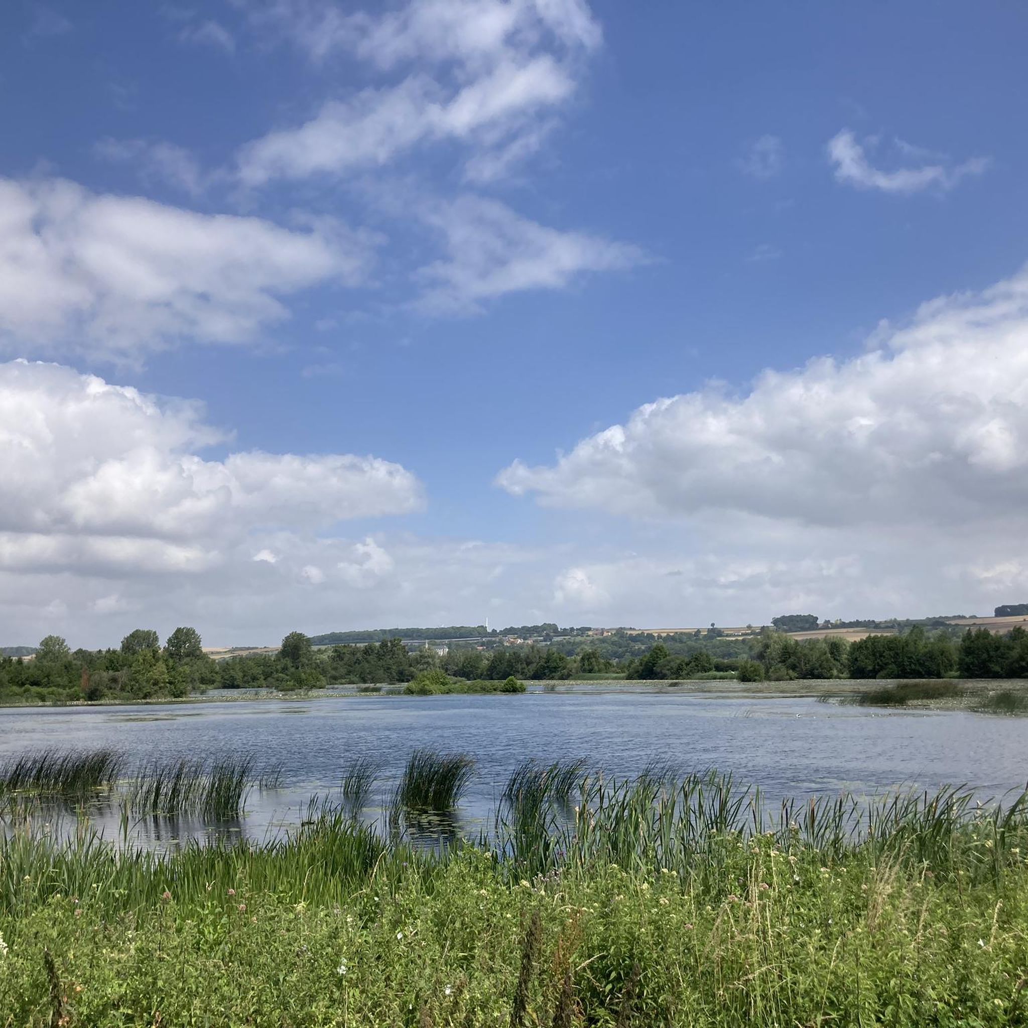
Hiking around Bettencourt-Rivière offers exploration of tranquil riverine landscapes within the Somme department. The area is characterized by the meandering Somme Valley, featuring ponds, marshlands, and limestone hills known as "larris." A repurposed former railway line provides accessible walking paths, complementing the natural features of the region.
Best hiking trails around Bettencourt-Rivière
- The most popular hiking route is Around Long Lock – The Somme River loop from Longpré-les-Corps-Saints, a 6.6 miles (10.7 km) trail that takes 2 hours 42…
Last updated: July 12, 2026
4.8
(12)
38
hikers
10.9km
02:47
30m
30m
Moderate hike. Good fitness required. Easily-accessible paths. Suitable for all skill levels.
5.0
(4)
20
hikers
14.2km
03:43
100m
100m
Moderate hike. Good fitness required. Easily-accessible paths. Suitable for all skill levels.

Sign up for free
5.0
(2)
18
hikers
7.63km
01:56
20m
20m
Easy hike. Great for any fitness level. Easily-accessible paths. Suitable for all skill levels.
5.0
(1)
12
hikers
3.64km
00:56
10m
10m
Easy hike. Great for any fitness level. Easily-accessible paths. Suitable for all skill levels.
5.0
(1)
7
hikers
Easy hike. Great for any fitness level. Easily-accessible paths. Suitable for all skill levels.
Get access to more routes and recommendations from other explorers.
Sign up for free
Already have an account?
Our route recommendations are based on thousands of hikes, rides, and runs completed by other people on komoot.
Start today with a free account
Your next adventure awaits.
Login or Signup

Tips from the Community

take a right and a nice little detour
0
0
There are other routes nearby.
0
0

This charming village, with its stone houses and picturesque alleys, is surrounded by green landscapes. The Château de Long overlooks the village. The Somme, which crosses the village, offers a bucolic setting ideal for a walk along the banks or a boat trip. The mills, ponds and gardens contribute to the serene atmosphere of the place.
0
0

Two impressive castles along the Somme.
3
0

More information about the castle 🏰👇 https://www.chateaudelong.fr
1
0
Crashed at Long on 20 May 1944 Recovered on 12 September 1998 These two important parts were recovered in September 1998 from the pond where the Lancaster was damaged after being shot down.
0
0
Frequently Asked Questions
How many hiking trails are available around Bettencourt-Rivière?
There are over 70 hiking trails around Bettencourt-Rivière, offering a variety of options for different skill levels. You'll find 30 easy routes, 41 moderate trails, and 1 difficult route for more experienced hikers.
What kind of terrain can I expect on hikes in Bettencourt-Rivière?
The terrain around Bettencourt-Rivière is characterized by tranquil riverine landscapes, extensive marshlands, and gentle limestone hills known as 'larris'. You can expect paths along the meandering Somme River, through ponds, and sometimes offering panoramic views from the higher ground.
Are there any family-friendly hiking options in Bettencourt-Rivière?
Yes, Bettencourt-Rivière offers several easy, family-friendly trails. For example, the Le grand marais loop from Longpré-les-Corps-Saints is a shorter, easy route perfect for a family outing. The region's repurposed former railway line also provides accessible walking paths suitable for all ages.
What are some notable landmarks or natural features to see while hiking?
While hiking, you can explore the picturesque Somme Valley with its mosaic of ponds and marshlands. You might also encounter historical sites like Long Castle or the Long Hydroelectric Power Plant. The limestone hills (larris) also provide natural lookouts with exceptional panoramic views.
Are there circular walking routes available?
Yes, many of the trails around Bettencourt-Rivière are circular. For instance, the Around Long Lock – Château de Long loop from Longpré-les-Corps-Saints is a moderate circular route that allows you to return to your starting point without retracing your steps.
What do other hikers say about the trails in Bettencourt-Rivière?
The trails in Bettencourt-Rivière are highly regarded by the komoot community, with an average rating of 4.6 stars from over 130 reviews. Hikers often praise the tranquil riverine landscapes, the well-maintained paths, and the variety of routes suitable for different abilities.
Can I hike with my dog in Bettencourt-Rivière?
Many trails in the Bettencourt-Rivière area are suitable for hiking with dogs, especially those through natural landscapes like marshlands and along the river. It's always recommended to keep your dog on a leash, especially in areas with wildlife or near livestock, and to check local regulations for specific routes.
Are there any long-distance hiking opportunities in the region?
Yes, Bettencourt-Rivière is situated in the region covered by the GR800, a long-distance hiking trail spanning 227 kilometers along the Somme Valley. This itinerary allows for multi-day adventures, discovering magnificent landscapes, historical sites, and scenic viewpoints throughout the Somme region. For more information on the GR800, you can visit somme-tourisme.com.
What is the typical duration for a hike in this area?
Hike durations vary depending on the route and your pace. For example, an easy route like The Somme River – Around Long Lock loop from Longpré-les-Corps-Saints typically takes around 1 hour 52 minutes, while a moderate trail such as Around Long Lock – The Somme River loop from Longpré-les-Corps-Saints can take about 2 hours 42 minutes.
Are there any easy routes for beginners or a relaxed stroll?
Absolutely. The area offers 30 easy routes perfect for beginners or those looking for a relaxed stroll. A good example is the The Somme River – Around Long Lock loop from Longpré-les-Corps-Saints, which is 7.4 km long and leads through pleasant riverine landscapes.
What are the 'Picardy mountains' mentioned in the region's description?
The 'Picardy mountains' refer to the limestone hillsides, locally known as 'larris', found in the Somme department. These are not mountains in the traditional sense but rather elevated areas that provide natural lookouts with exceptional panoramic views over the surrounding valley and marshlands.
Is there public transport access to the hiking areas?
While specific public transport details for each trailhead are not provided, the region is generally accessible. For detailed information on reaching specific starting points or general transport options in the Val de Somme area, it's advisable to consult local transport schedules or the regional tourism office at valdesomme-tourisme.com.
Most popular routes around Bettencourt-Rivière
Most popular attractions around Bettencourt-Rivière

Get inspired with the komoot mobile app


Explore more
Browse the best Hikes in other regions.
