The best walks and hikes around Bousseraucourt
4.4
(43)
200
hikers
28
hikes
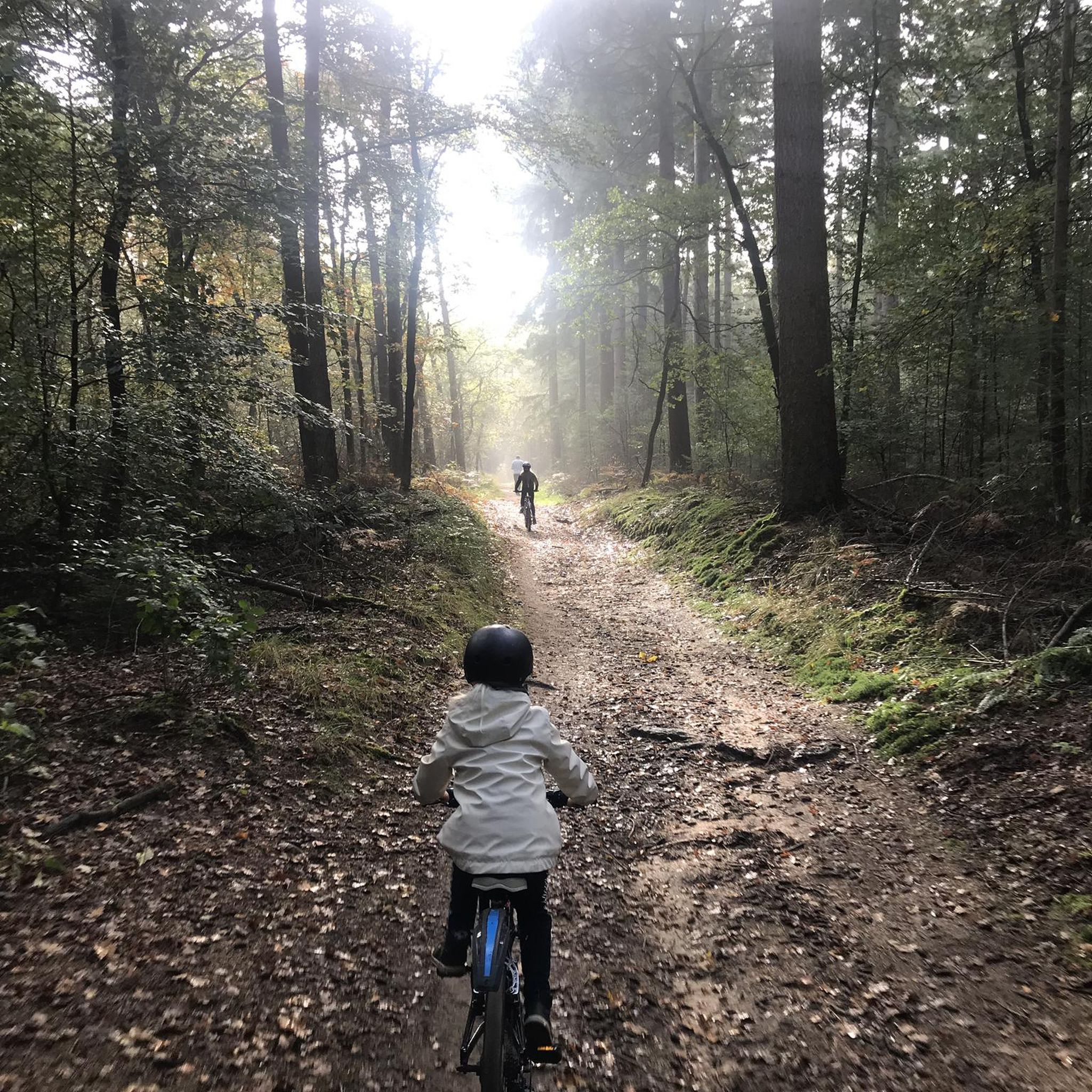
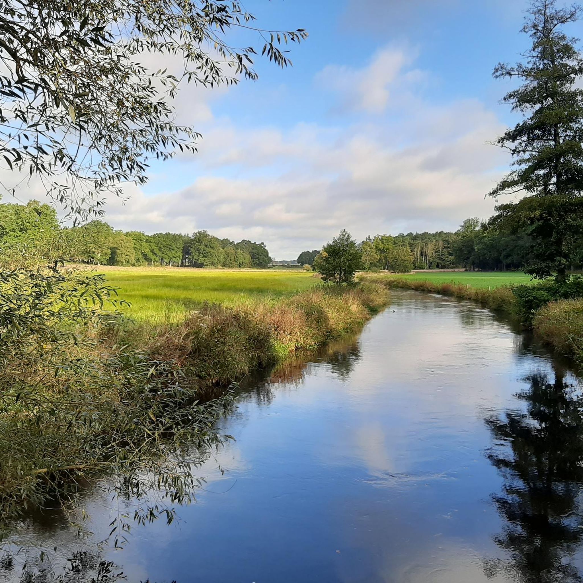
Hiking around Bousseraucourt offers access to the varied landscapes of the Haute-Saône department in the Bourgogne-Franche-Comté region. The area is characterized by diverse terrain, including expansive forests, serene rivers, and meadows. Trails often lead through the Val de Saône area, featuring rich flora and fauna. This natural environment provides a range of outdoor experiences for hikers.
Best hiking trails around Bousseraucourt
- The most popular hiking route is Jardin des Maronniers – Balcony loop from Monthureux-sur-Saône, a 4.2 miles (6.8 km) trail that takes 1 hour 48 minutes to complete. This easy route offers views of the surrounding countryside.
- Another top favourite among local hikers is View from Ormoy-Richecourt bridge loop from Corre, a moderate 6.5 miles (10.5 km) path. This trail features riverside sections and takes approximately 2 hours 46 minutes.
- Local hikers also love the Balcony – Town hall loop from Monthureux-sur-Saône, a 5.3 miles (8.6 km) trail leading through local villages and natural areas, often completed in about 2 hours 16 minutes.
- Hiking around Bousseraucourt is defined by forests, riverbanks, and historical villages, offering diverse landscapes. The network provides options for various ability levels, from easy walks to moderate excursions.
- The routes in Bousseraucourt are highly rated by the komoot community with an average score of 4.4 stars from over 30 reviews. More than 160 hikers have used komoot to explore Bousseraucourt's varied terrain.
Last updated: June 29, 2026
4.3
(3)
13
hikers
10.5km
02:46
80m
80m
Moderate hike. Good fitness required. Easily-accessible paths. Suitable for all skill levels.
5.0
(2)
13
hikers
11.5km
03:01
100m
100m
Moderate hike. Good fitness required. Easily-accessible paths. Suitable for all skill levels.

Sign up for free
5.0
(5)
12
hikers
9.06km
02:23
80m
80m
Moderate hike. Good fitness required. Easily-accessible paths. Suitable for all skill levels.
3
hikers
6.19km
01:39
70m
70m
Easy hike. Great for any fitness level. Easily-accessible paths. Suitable for all skill levels.
4.0
(1)
5
hikers
Easy hike. Great for any fitness level. Easily-accessible paths. Suitable for all skill levels.
Get access to more routes and recommendations from other explorers.
Sign up for free
Already have an account?
Our route recommendations are based on thousands of hikes, rides, and runs completed by other people on komoot.
Start today with a free account
Your next adventure awaits.
Login or Signup


Tips from the Community

The town hall was decorated inside in December. Public restroom 🚻.
0
0

Very beautiful view of Passavant from the top of the viaduct.
2
0

... And it was in 1896 that the Jannel company, (foundry manufacturer) based in Martinvelle (Vosges) delivered a third bell to the town of Ormoy...
0
0
A magnificent natural corner of greenery and water that I never tire of for fishermen and cyclists alike... WHAT HAPPINESS!
4
0
A freight activity existed until 1991: coal was transported from Jussey for the activity of the Rochère glassworks... I ran in short pants after this train that we heard whistling from my grandparents' house from the carpentry in the 1970s We now pass over the viaduct at a height of more than 20 m via a superb cycle path which has rehabilitated this old line via the "Charles the Bold" route which joins CORRE towards the West and Epinal towards the East. The Charles the Bold Véloroute route takes, in France, the route of the V50 (In 2022, for legal reasons, the v50 must change its name. It becomes THE BLUE WAY Moselle-Saône by bike Luxembourg-Lyon) of Apach (57 Moselle) to Lamarche-sur-Saône (21 Côte d’Or). The Charles the Bold cycle route then reaches Dijon while the Voie Bleue heads towards Lyon. Have a nice trip to all!
4
0
An essential crossroads to reach the illustrious town of Passavant la Rochère with its 15th century art glassworks, the oldest art glassworks in France...
4
0

Church built in 1706 which was then rebuilt and enlarged over several periods until 1859. From a distance, you can see its beautiful roof made of glazed tiles of several colors.
1
0
Frequently Asked Questions
How many hiking trails are available around Bousseraucourt?
There are over 19 hiking trails around Bousseraucourt, offering a variety of experiences. These routes range from easy walks to more challenging excursions through the diverse landscapes of the Haute-Saône department.
What types of landscapes can I expect to see on hikes near Bousseraucourt?
Hiking near Bousseraucourt offers a rich natural environment with varied landscapes. You can expect to traverse expansive forests, serene riverbanks, and open meadows. Many trails lead through the Val de Saône area, known for its rich flora and fauna, and you might encounter charming historical villages with traditional churches and wash-houses.
Are there any easy hiking trails suitable for beginners or casual walkers?
Yes, there are several easy hiking trails around Bousseraucourt. For instance, the Jardin des Maronniers – Balcony loop from Monthureux-sur-Saône is an easy 4.2-mile (6.8 km) route that provides pleasant views of the countryside and takes approximately 1 hour 48 minutes to complete.
Can I find circular hiking routes in the Bousseraucourt area?
Yes, many of the hiking routes around Bousseraucourt are circular. For example, the View from Ormoy-Richecourt bridge loop from Corre is a moderate 6.5-mile (10.5 km) loop featuring riverside sections, and the Balcony – Town hall loop from Monthureux-sur-Saône is another popular circular trail.
What are some interesting places or landmarks to see along the hiking routes?
While hiking around Bousseraucourt, you can discover several points of interest. The View from Ormoy-Richecourt bridge offers scenic vistas, and you might pass by the Church of the Nativity of Our Lady. The Canal des Vosges trail also provides pleasant walking opportunities with views like the View From the Cycle Path Along the Canal des Vosges.
What is the best time of year to go hiking in Bousseraucourt?
The Bourgogne-Franche-Comté region, where Bousseraucourt is located, generally offers pleasant hiking conditions from spring through autumn. Spring brings blooming flora, while autumn showcases vibrant foliage. Summer is also suitable, but it's always advisable to check local weather forecasts before heading out.
Are the hiking trails around Bousseraucourt suitable for families with children?
Yes, the area offers a range of trails, including easy walks that are suitable for families. The diverse terrain with forests and meadows provides an engaging environment for children to explore nature. Always check the specific trail's difficulty and length to ensure it matches your family's capabilities.
Are dogs allowed on the hiking trails near Bousseraucourt?
Generally, dogs are welcome on hiking trails in rural areas of France, including around Bousseraucourt. However, it's always recommended to keep them on a leash, especially in areas with wildlife or near livestock, and to respect local regulations or signage that might be present on specific routes.
What do other hikers say about the trails in Bousseraucourt?
The hiking routes in Bousseraucourt are highly rated by the komoot community, with an average score of 4.4 stars from over 30 reviews. Hikers often praise the quiet woodlands, diverse landscapes, and the opportunity to discover charming historical villages along the paths.
Are there any longer, more challenging hikes for experienced hikers?
Yes, for those seeking a longer challenge, routes like Le Côney loop from Aisey-et-Richecourt offer a moderate 11.1-mile (17.8 km) journey with more elevation gain, taking approximately 4 hours 45 minutes to complete. The region features a mix of easy, moderate, and a few difficult trails.
Is parking available at the trailheads around Bousseraucourt?
While specific parking details for every trailhead are not always listed, it is generally possible to find parking in or near the villages that serve as starting points for hikes around Bousseraucourt. Many rural trailheads in the region offer informal parking spots.
Can I reach the hiking trails around Bousseraucourt using public transport?
Public transport options directly to specific trailheads in rural areas like Bousseraucourt can be limited. It is often more convenient to reach the starting points by car. However, some larger towns in the Bourgogne-Franche-Comté region may have bus services, so checking local transport schedules for nearby villages is advisable.
What kind of wildlife might I encounter while hiking in the area?
The Haute-Saône department is known for its rich flora and fauna. While hiking, you might spot various bird species, small mammals, and insects. The diverse habitats, including forests, meadows, and riverbanks, support a healthy ecosystem, offering opportunities for wildlife observation.
Are there any trails that follow rivers or offer waterside views?
Yes, the region is characterized by its serene rivers, and some trails feature riverside sections. For example, the La Basse-Vaivre loop from Passavant-la-Rochère offers views of the local waterways and natural features. The broader Val de Saône area is particularly known for trails along the Saône River.
Most popular attractions around Bousseraucourt

Get inspired with the komoot mobile app


Explore more
Browse the best Hikes in other regions.
