The best walks and hikes around Neuvy-Sautour
4.4
(33)
148
hikers
30
hikes
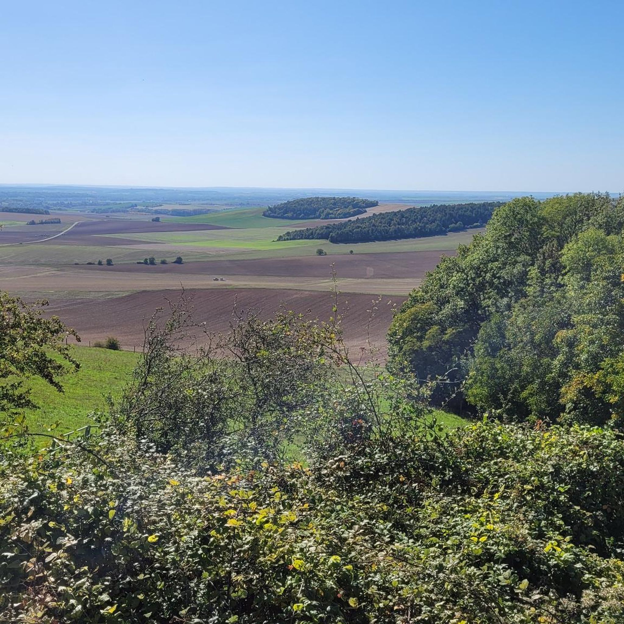
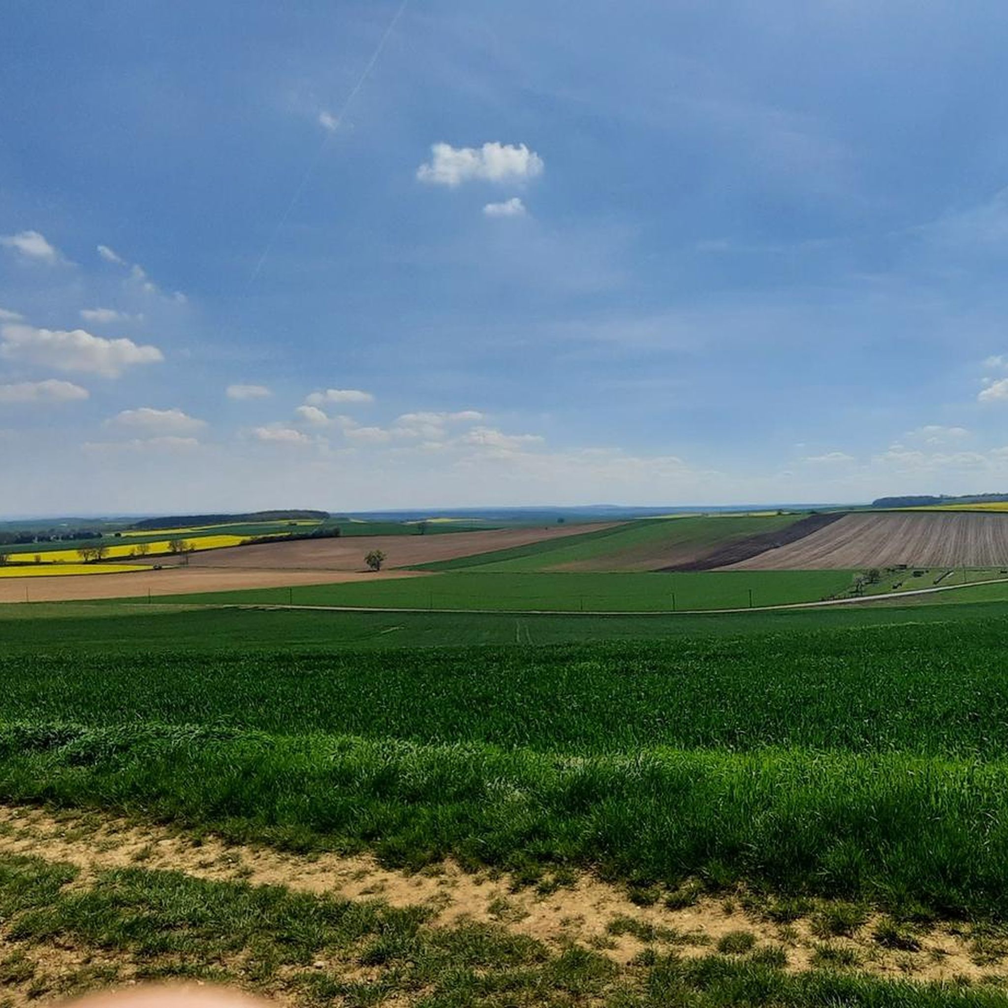
Hiking around Neuvy-Sautour offers access to a landscape characterized by rolling hills and varied terrain within the Yonne department of Bourgogne-Franche-Comté. The commune itself ranges in altitude from 110 to 197 meters, providing gentle gradients suitable for walking. The surrounding region features woodlands, agricultural land, and river valleys, creating diverse natural environments for outdoor activities. These Neuvy-Sautour hiking routes provide opportunities to explore the rural scenery of north-central France.
Best hiking trails around Neuvy-Sautour
- The most popular hiking route is…
Last updated: June 29, 2026
5.0
(2)
17
hikers
13.0km
03:27
130m
130m
Moderate hike. Good fitness required. Easily-accessible paths. Suitable for all skill levels.
4.3
(3)
11
hikers
5.08km
01:20
40m
30m
Easy hike. Great for any fitness level. Easily-accessible paths. Suitable for all skill levels.

Sign up for free
8
hikers
8.53km
02:24
180m
180m
Moderate hike. Good fitness required. Easily-accessible paths. Suitable for all skill levels.
5.0
(2)
4
hikers
10.7km
03:02
240m
240m
Moderate hike. Good fitness required. Easily-accessible paths. Suitable for all skill levels.
4.5
(2)
4
hikers
8.24km
02:11
80m
80m
Moderate hike. Good fitness required. Easily-accessible paths. Suitable for all skill levels.
Get access to more routes and recommendations from other explorers.
Sign up for free
Already have an account?
Our route recommendations are based on thousands of hikes, rides, and runs completed by other people on komoot.
Start today with a free account
Your next adventure awaits.
Login or Signup
Popular around Neuvy-Sautour

Tips from the Community


Saint Florentin is a pleasant little town that has been very well restored. The two fun and informative anecdotes to take away from the city are as follows: during the Revolution, Saint-Florentin was one of the most dynamic places of Theophilanthropy, a religion which succeeded the cult of reason and the supreme being between 1798 and 1801. During the convention, the anticlerical republicans renamed Saint-Florentin and called it Mont-Armance between 8 Germinal of Year Two (March 28, 1794) and 6 Ventôse of Year Three (February 24, 1795). The city is located on the edge of the Armance and the Burgundy Canal, but also the N77. Some ingenious minds wanted to take inspiration from the legendary American route 66 in the hope of attracting tourists, and now call it route 77.
2
0

Nice modernization. Pleasant city center
0
0
Frequently Asked Questions
How many hiking trails are available around Neuvy-Sautour?
There are over 25 hiking routes available around Neuvy-Sautour, offering a variety of experiences through the region's rolling hills, woodlands, and agricultural landscapes.
What kind of terrain can I expect on hikes near Neuvy-Sautour?
The terrain around Neuvy-Sautour is characterized by rolling hills and varied landscapes, with altitudes ranging from 110 to 197 meters. You'll find paths winding through woodlands, agricultural fields, and river valleys, providing diverse natural environments for your walks.
Are there easy hiking trails suitable for beginners or families in Neuvy-Sautour?
Yes, Neuvy-Sautour offers several easy hiking trails. For example, the Saint-Florentin loop from Saint-Florentin is an easy 5.1 km path that takes about 1 hour and 20 minutes, perfect for a relaxed family outing.
What do other hikers say about the trails in Neuvy-Sautour?
The hiking routes in Neuvy-Sautour are highly rated by the komoot community, with an average score of 4.5 stars from over 25 reviews. Hikers often praise the tranquil atmosphere and the diverse rural scenery of the region.
Are there any circular walking routes available around Neuvy-Sautour?
Yes, many routes in the area are circular. An example is the Neuvy-Sautour Courcelles loop from Neuvy-Sautour, a moderate 8.2 km trail that allows you to return to your starting point without retracing your steps.
What are some interesting places to explore near the hiking trails?
Beyond the trails, you can explore nearby attractions such as the town of Saint-Florentin, or discover historical sites like the Ervy-le-Châtel Highlights, which include its unique Circular Market Hall and the Saint Joseph of the Angels Chapel.
Are there any longer, more challenging hikes in the Neuvy-Sautour area?
For those seeking a longer experience, the Burgundy canal lock – Saint-Florentin loop from Saint-Florentin is a moderate 13.0 km trail that takes approximately 3 hours and 27 minutes, offering a good workout while exploring the canal area.
What is the best time of year to go hiking in Neuvy-Sautour?
The region's diverse natural environments, including woodlands and agricultural lands, make it suitable for hiking across multiple seasons. Spring and autumn offer pleasant temperatures and beautiful scenery, while summer provides longer daylight hours. Winter hiking is also possible, though conditions may vary.
Are there any specific landmarks or points of interest along the hiking routes?
Many routes pass by local points of interest. For instance, the Church – Chapel of the Good Death loop from Chailley leads through varied rural landscapes, often featuring historical churches and chapels typical of the region.
Is there parking available at the trailheads around Neuvy-Sautour?
While specific parking details for every trailhead are not listed, many hiking routes in rural areas like Neuvy-Sautour typically have designated parking areas near their starting points, especially in or near villages like Saint-Florentin or Chailley, which serve as common access points for trails.
Can I bring my dog on the hiking trails in Neuvy-Sautour?
Generally, dogs are welcome on many hiking trails in rural France, especially if kept on a leash. However, it's always advisable to check local signage for specific restrictions, particularly in nature reserves or protected areas, to ensure a pleasant experience for everyone.
Are there any routes that offer significant elevation changes?
While Neuvy-Sautour is characterized by rolling hills rather than mountains, some routes offer more noticeable elevation changes. The Chapel of the Good Death loop from Le Fays, for example, includes over 230 meters of ascent and descent over its 10.7 km, providing a more undulating experience.
Most popular attractions around Neuvy-Sautour

Get inspired with the komoot mobile app


Explore more
Browse the best Hikes in other regions.
