The best MTB trails around La Basse-Vaivre
3.9
(7)
32
riders
5
rides
Mountain biking around La Basse-Vaivre offers routes through a rural landscape characterized by modest elevations ranging from 227 to 268 meters. The Côney river defines parts of its borders, suggesting waterside paths and scenic views. While the commune itself is small, its location within the Bourgogne-Franche-Comté region provides access to diverse landscapes including forests and hilly terrain. The area's natural setting is suitable for outdoor activities, with routes that feature varied elevation changes.
Best mountain bike trails around La Basse-Vaivre
…Last updated: June 28, 2026
4.0
(2)
9
riders
35.5km
02:32
400m
400m
Moderate mountain bike ride. Good fitness required. Suitable for all skill levels.
12
riders
55.9km
02:51
200m
200m
Moderate mountain bike ride. Good fitness required. Suitable for all skill levels.

Sign up for free
3
riders
47.8km
03:08
440m
440m
Moderate mountain bike ride. Good fitness required. Advanced riding skills necessary.
4.5
(2)
2
riders
Moderate mountain bike ride. Good fitness required. Suitable for all skill levels.
4.0
(1)
3
riders
56.2km
03:19
560m
560m
Moderate mountain bike ride. Good fitness required. Suitable for all skill levels.
Our route recommendations are based on thousands of hikes, rides, and runs completed by other people on komoot.
Start today with a free account
Your next adventure awaits.
Login or Signup
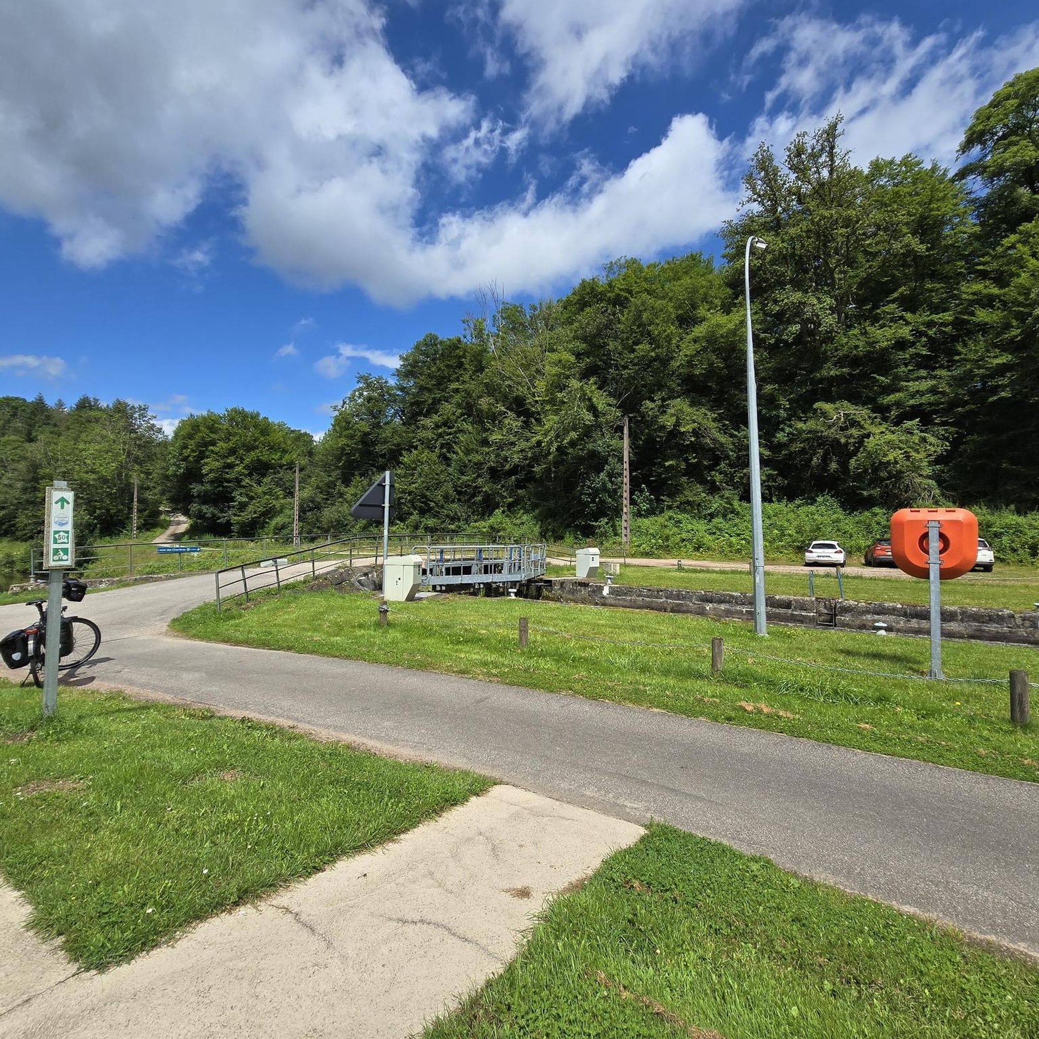

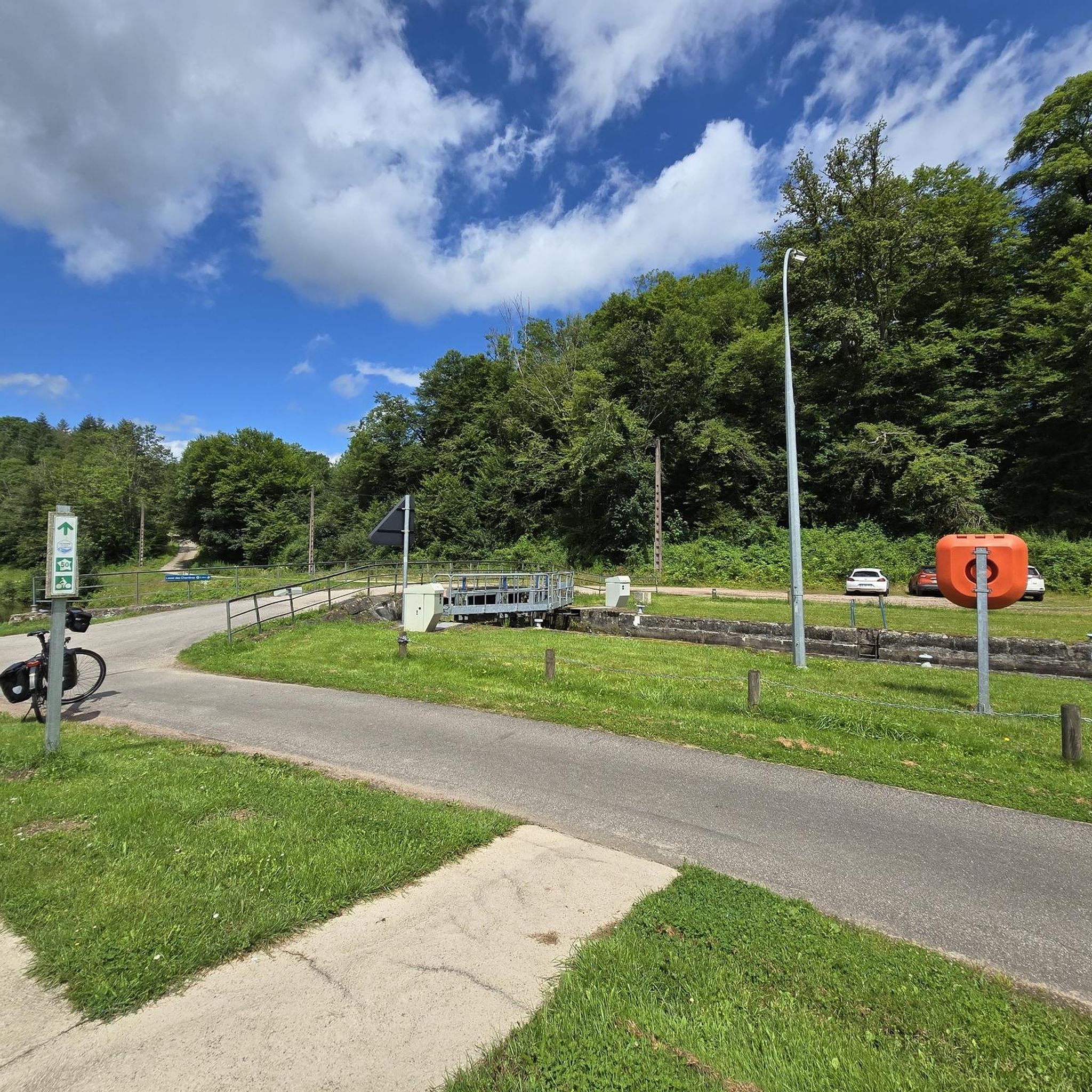

Tips from the Community

The view from the bridge over the river is interesting, with the village on one side and the rugged, vertical rock face on the other!
1
0
A beautiful old church with impressive stained glass windows.
0
0
To visit the factory you have to cross the bridge and drive back a bit. Unfortunately the exhibition and cafe were closed during our visit.
0
0

Very beautiful view of Passavant from the top of the viaduct.
2
0

beautiful almost flat cycle path
1
0

Frequently Asked Questions
How many mountain bike trails are available around La Basse-Vaivre?
There are 5 mountain bike trails listed around La Basse-Vaivre, all of which are of moderate difficulty. These routes offer varied terrain suitable for mountain biking.
What kind of terrain can I expect on mountain bike trails near La Basse-Vaivre?
The terrain around La Basse-Vaivre is generally rural with modest elevations, ranging from 227 to 268 meters. You can expect hilly sections, forests, and paths bordering the Côney river. The broader Bourgogne-Franche-Comté region, where La Basse-Vaivre is located, is known for diverse landscapes including ancient forests and challenging hilly areas.
Are there any family-friendly mountain bike routes in the area?
All 5 mountain bike routes listed around La Basse-Vaivre are of moderate difficulty, making them suitable for riders with some experience. While not specifically designated 'family-friendly' for beginners, families with older children or those comfortable with moderate challenges will find enjoyable options. For example, the Canal des Vosges – Selles Swing Bridge loop from Corre offers scenic views along the waterway.
What are some notable natural features or landmarks I might see along the trails?
Many routes offer scenic views along the Côney river and the Canal des Vosges. You might encounter highlights such as the Selles Swing Bridge or the Canal des Vosges itself. The region is also characterized by forests and diverse natural scenery. The Refreshing spring – Beautiful valley loop from Passavant-la-Rochère explores a scenic valley with refreshing springs.
Are there any circular mountain bike routes available?
Yes, several routes are circular. For instance, the Canal des Vosges – Selles Swing Bridge loop from Corre, the Refreshing spring – Beautiful valley loop from Passavant-la-Rochère, and the Étang Pachevaux loop from Passavant-la-Rochère are all designed as loops, bringing you back to your starting point.
What do other mountain bikers enjoy most about the trails in La Basse-Vaivre?
The mountain bike trails around La Basse-Vaivre are highly rated by the komoot community, with an average score of 3.9 stars. Riders often appreciate the varied terrain, the scenic views along the waterways, and the opportunity to explore the rural landscape of the Bourgogne-Franche-Comté region.
When is the best time of year for mountain biking in La Basse-Vaivre?
The Bourgogne-Franche-Comté region generally offers good conditions for outdoor activities from spring through autumn. Spring brings lush greenery, while autumn provides beautiful foliage. Summers are typically pleasant, though it's always wise to check local weather forecasts. Winter conditions might include colder temperatures and potentially snow or ice, which could affect trail accessibility and difficulty.
Are there options for longer mountain bike tours?
Yes, some routes offer significant distances. The Canal des Vosges – Selles Swing Bridge loop from Corre is the longest at 31.7 miles (51.0 km), typically taking around 2 hours 34 minutes. Another substantial option is the Étang Pachevaux loop from Passavant-la-Rochère, which is 29.4 miles (47.3 km).
Can I find places to eat or stay near the mountain bike trails?
While La Basse-Vaivre itself is a small commune, its location within the Bourgogne-Franche-Comté region means that amenities like cafes, pubs, and accommodation can be found in nearby towns and villages. It's advisable to plan your route and check for available services in surrounding areas like Passavant-la-Rochère or Corre before you set out.
What are the elevation changes like on these mountain bike trails?
The trails around La Basse-Vaivre feature varied elevation changes. For example, the Selles Swing Bridge – Canal des Vosges à Selles loop from Clairefontaine has an elevation gain of approximately 548 meters. Even with modest overall elevations in the commune, the routes can offer interesting climbs and descents, characteristic of the region's hilly terrain.
Is public transport or parking available for accessing the trails?
Information specific to public transport directly to La Basse-Vaivre for mountain biking access is limited due to its small size. However, parking is generally available in the starting points of the routes, such as Corre, Passavant-la-Rochère, Anchenoncourt-et-Chazel, or Clairefontaine. It is recommended to check specific parking options for your chosen starting point.
Most popular attractions around La Basse-Vaivre

Get inspired with the komoot mobile app


Explore more
Browse the best MTB trails in other regions.
