The best gravel rides around Montflovin
5.0
(5)
36
riders
6
rides
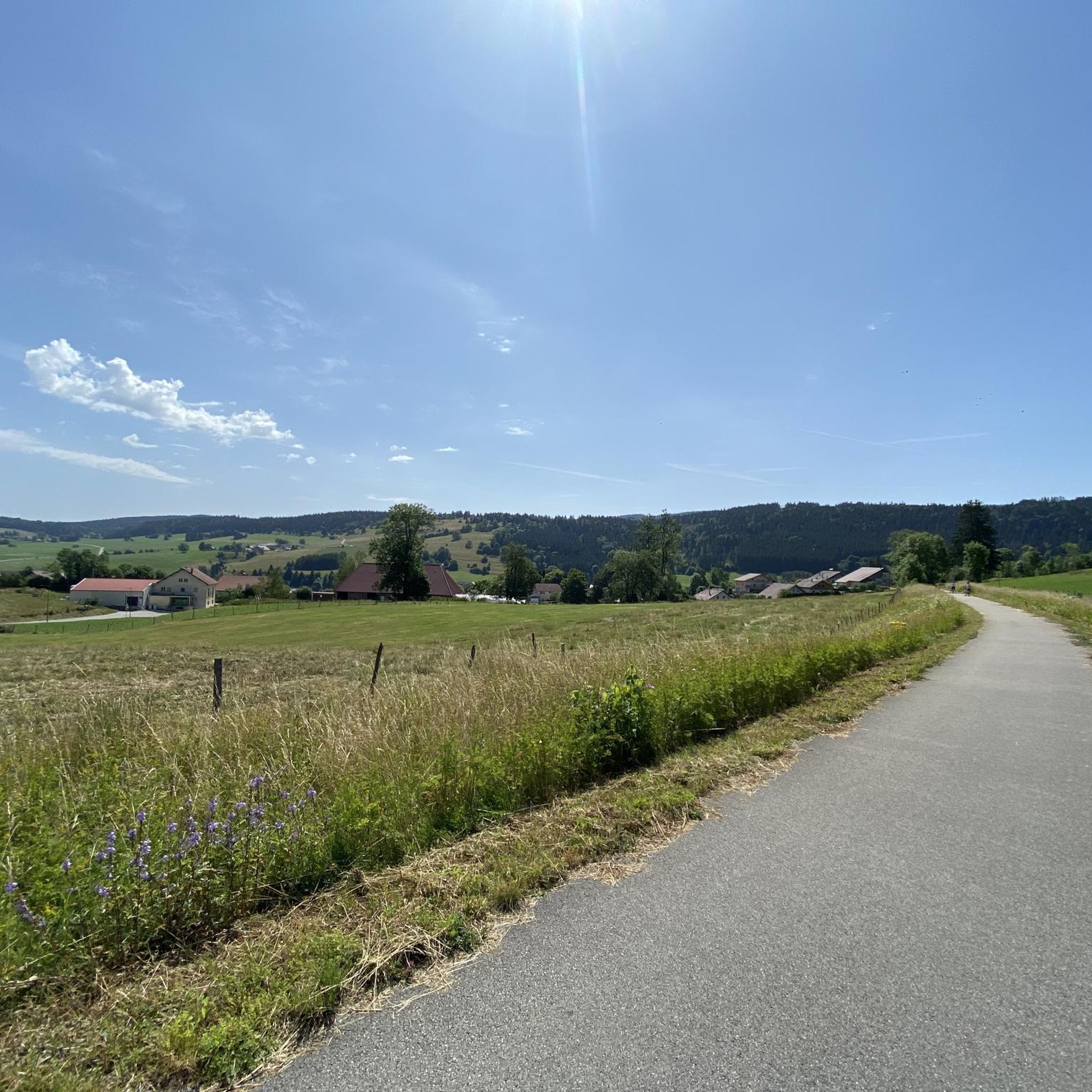
Gravel biking around Montflovin offers access to the diverse landscapes of the Doubs department and the Parc Naturel Régional du Doubs Horloger. The region features an extensive network of forest paths, tracks, and low-traffic roads, traversing valleys, mountains, and plateaus. Riders can explore areas characterized by dense forests, dramatic gorges like the Défilé d'Entre-Roches, and the scenic Doubs River valley. The terrain includes varied karst reliefs, providing a dynamic environment for gravel cyclists.
Best gravel bike trails around Montflovin
- The…
Last updated: October 14, 2026
5.0
(1)
4
riders
17.1km
01:17
190m
190m
Moderate gravel ride. Good fitness required. Mostly paved surfaces. Suitable for all skill levels.
5.0
(1)
16
riders
65.4km
04:31
1,200m
1,200m
Hard gravel ride. Very good fitness required. Mostly paved surfaces. Suitable for all skill levels.

3
riders
31.7km
02:17
480m
480m
Hard gravel ride. Very good fitness required. You may need to push your bike for some segments of this route.
2
riders
29.7km
02:01
560m
560m
Hard gravel ride. Very good fitness required. Mostly paved surfaces. Suitable for all skill levels.
5.0
(2)
6
riders
35.3km
02:29
660m
660m
Hard gravel ride. Very good fitness required. Mostly paved surfaces. Suitable for all skill levels.
Our route recommendations are based on thousands of hikes, rides, and runs completed by other people on komoot.
Start today with a free account
Your next adventure awaits.
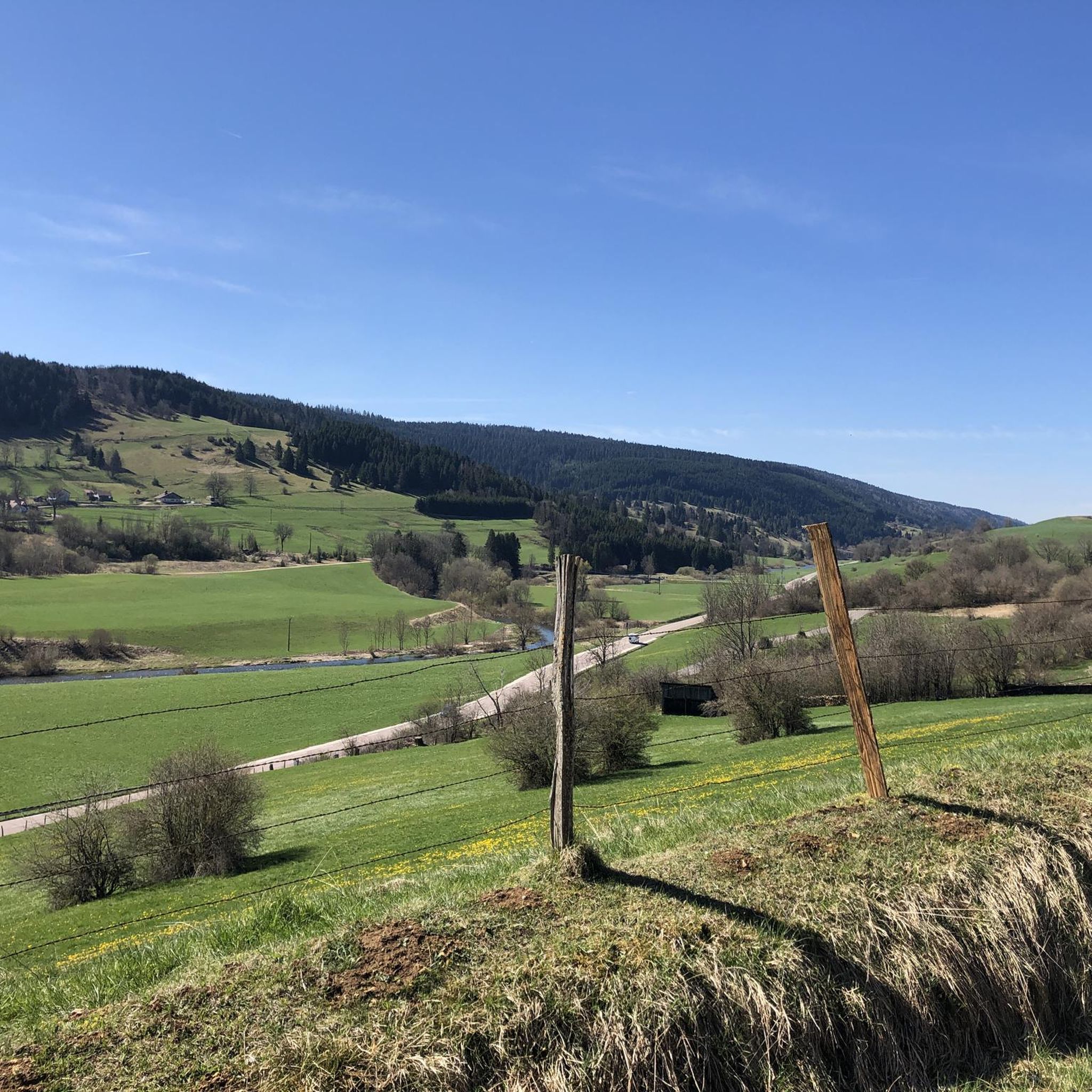
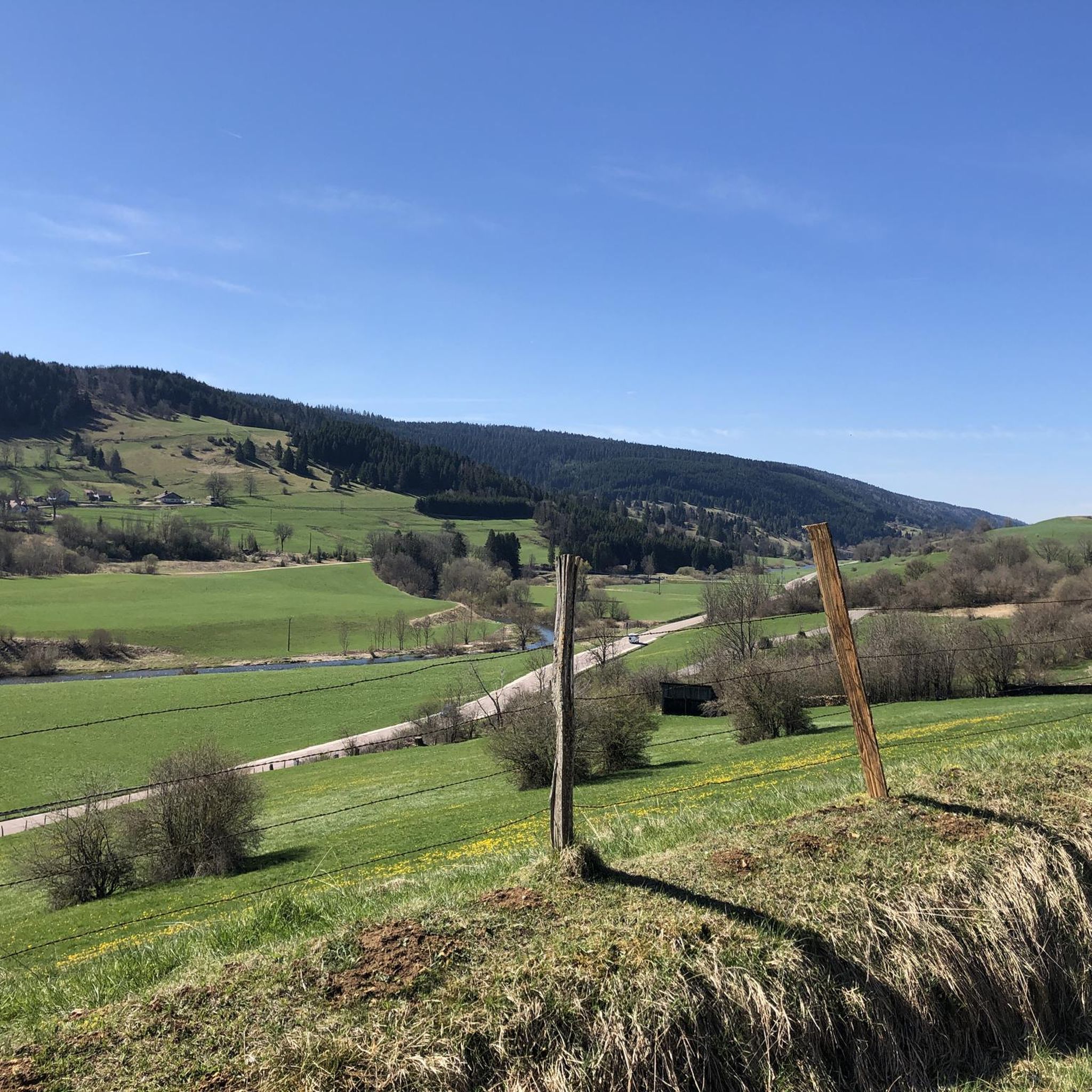
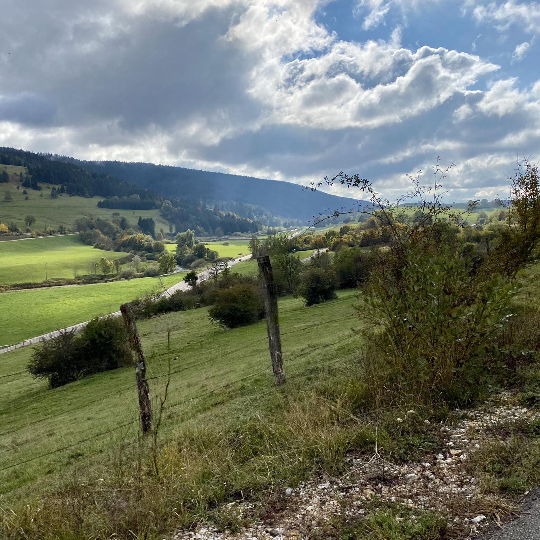
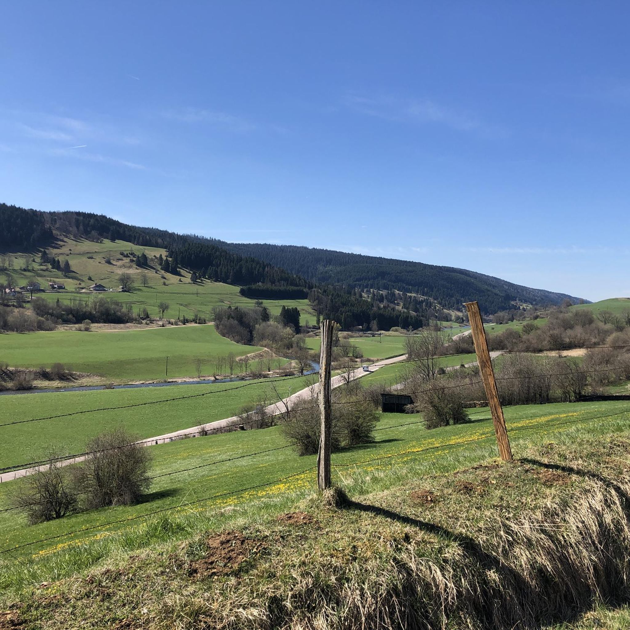
Tips from the Community

a beautiful, breathtaking landscape. We were completely enchanted! Simply beautiful to ride.
0
0

This short section runs along a technical single track and at times offers some beautiful views of Pontarlier.
0
0
This path along the edge of fields and the forest leading to Cornabey is very pleasant. You cross a small bridge to span the stream.
0
0


It's just a lot of fun
0
0
The route length is also great
0
0

The Église Saint-Bénigne in Pontarlier is a church dating from the 15th, 16th and 17th centuries. This church combines Romanesque, Gothic and Franc-Comtoise style elements. The striking clocher porch is topped with an imperial domed roof, also known as a clocher comtois, a traditional feature of Franche-Comté. The roof is covered with glazed tiles. The Église Saint-Bénigne is located in the Haut-Doubs and is dedicated to Saint Bénigne. Since May 19, 1970, the building has been registered as a historical monument. Historically, the church was almost completely rebuilt between 1651 and 1666 on the same site as an original 11th century Romanesque church, of which almost nothing remains (except a 15th century portal). This happened after the passage of the troops of Duke Bernard de Saxe-Weimar during the Thirty Years' War. In 1666 the church was rededicated in honor of Saint Bénigne. The church has suffered serious damage over time from two fires, one in 1680 and one during the Pontarlier fire of 1736. The clocher porch was rebuilt in 1681, and the imperial dome was added in 1753 by architect Nicolas Nicole. In 1970 the church underwent a major restoration, and in 1974 new stained glass windows were created by artist Alfred Manessier and the Lorin de Chartres workshops. The organ, which dates from 1758 and is in Louis XV style, was restored in 1844 and again in 1982.
7
0
Frequently Asked Questions
What kind of terrain can I expect on gravel bike trails around Montflovin?
The Montflovin area, situated within the Parc Naturel Régional du Doubs Horloger, offers a rich variety of gravel terrain. You'll find extensive networks of forest paths, tracks, and quiet, low-traffic roads. These routes traverse diverse landscapes including valleys, mountains, vast plateaus, and areas characterized by dense forests and karst reliefs, providing a dynamic environment for gravel cyclists.
Are there gravel routes suitable for beginners or those looking for a moderate ride?
Yes, while the region is known for challenging routes, there are options for moderate riders. For instance, the Gilley at the end of my dreams route is rated moderate, covering 17.1 km with an elevation gain of 190 meters, typically taking around 1 hour 17 minutes to complete.
What are some longer or more challenging gravel bike routes in the Montflovin area?
For experienced gravel bikers seeking a challenge, the region offers several demanding routes. The Col sur le Mont – Bridge over the Doubs loop from Pays-de-Montbenoît is a difficult 65.1 km path with significant climbs. Another extensive option is the Col sur le Mont – Lac de Saint-Point loop from Verrières-de-Joux, which stretches over 105 km and includes substantial elevation changes, often taking nearly 8 hours to complete.
Can I find circular gravel bike routes around Montflovin?
Yes, many of the gravel routes in the Montflovin area are designed as loops, allowing you to start and finish in the same location. Examples include the challenging Col sur le Mont – Bridge over the Doubs loop from Pays-de-Montbenoît and the longer Col sur le Mont – Lac de Saint-Point loop from Verrières-de-Joux. There's also the Gravel loop from Arçon, a difficult 29.6 km ride.
Are there any scenic viewpoints or natural attractions along the gravel trails?
Absolutely. The region is rich in natural beauty. You might encounter dramatic geological formations like the Gorges de Remonot (about 11 km from Montflovin) or the Défilé d'Entre-Roches (2 km away). Specific highlights include the Renédale Viewpoint, offering panoramic vistas, and the impressive Mont Châteleu. The Gorges de Noailles also provide stunning scenery.
What kind of natural monuments or unique geological features can I explore?
The Montflovin area, within the Doubs Horloger Regional Natural Park, features fascinating karst reliefs and natural monuments. You can visit the Source de la Loue and the Source du Pontet, both notable cave systems. There are also unique rock formations within the park to discover.
What do other gravel bikers say about the trails around Montflovin?
The gravel biking experience around Montflovin is highly regarded by the komoot community, with an average rating of 4.8 stars from numerous reviews. Over 60 gravel bikers have used komoot to explore the varied terrain, often praising the dense forests, river valleys, and expansive plateaus that define the routes.
Is Montflovin connected to any larger regional gravel biking networks?
Yes, Montflovin is centrally located within the Jura Mountains, often referred to as a 'gravel bike heaven.' The region is part of the official FFC Mountain Bike Sites network, ensuring marked and maintained trails. Notably, the Jura Mountains have a specific gravel bike variant of the 'Grande Traversée du Jura' (GTJ), a 384 km route utilizing tracks and forest lanes. The 'Pays Horloger' region, encompassing Montflovin, also offers 31 dedicated gravel itineraries, including routes like 'Allumer la Maîche' which features old smugglers' paths and panoramic viewpoints.
Are there any routes that follow the Doubs River?
Yes, the Doubs River valley is a prominent feature of the region and is incorporated into several routes. For example, the Doubs River – La Cluse-et-Mijoux loop from Doubs is a difficult 31.7 km route that takes you along the river, offering scenic views and varied terrain.
What is the best time of year for gravel biking in Montflovin?
The region's diverse landscapes, including forests and plateaus, make it enjoyable across multiple seasons. Spring and autumn offer pleasant temperatures and vibrant scenery, while summer provides lush green routes, often with shaded sections through the extensive forests. It's always advisable to check local weather conditions before heading out, especially during shoulder seasons.
Are there any routes that pass by lakes?
Yes, some routes in the wider Montflovin area lead towards or pass by scenic lakes. A notable example is the challenging Col sur le Mont – Lac de Saint-Point loop from Verrières-de-Joux, which takes you through the regional landscape towards Lac de Saint-Point, a beautiful feature of the Jura Mountains.
Most popular routes around Montflovin
Most popular attractions around Montflovin

Get inspired with the komoot mobile app


Explore more
Browse the best Gravel rides in other regions.
