The best walks and hikes around Baigneux-Les-Juifs
4.4
(19)
82
hikers
20
hikes
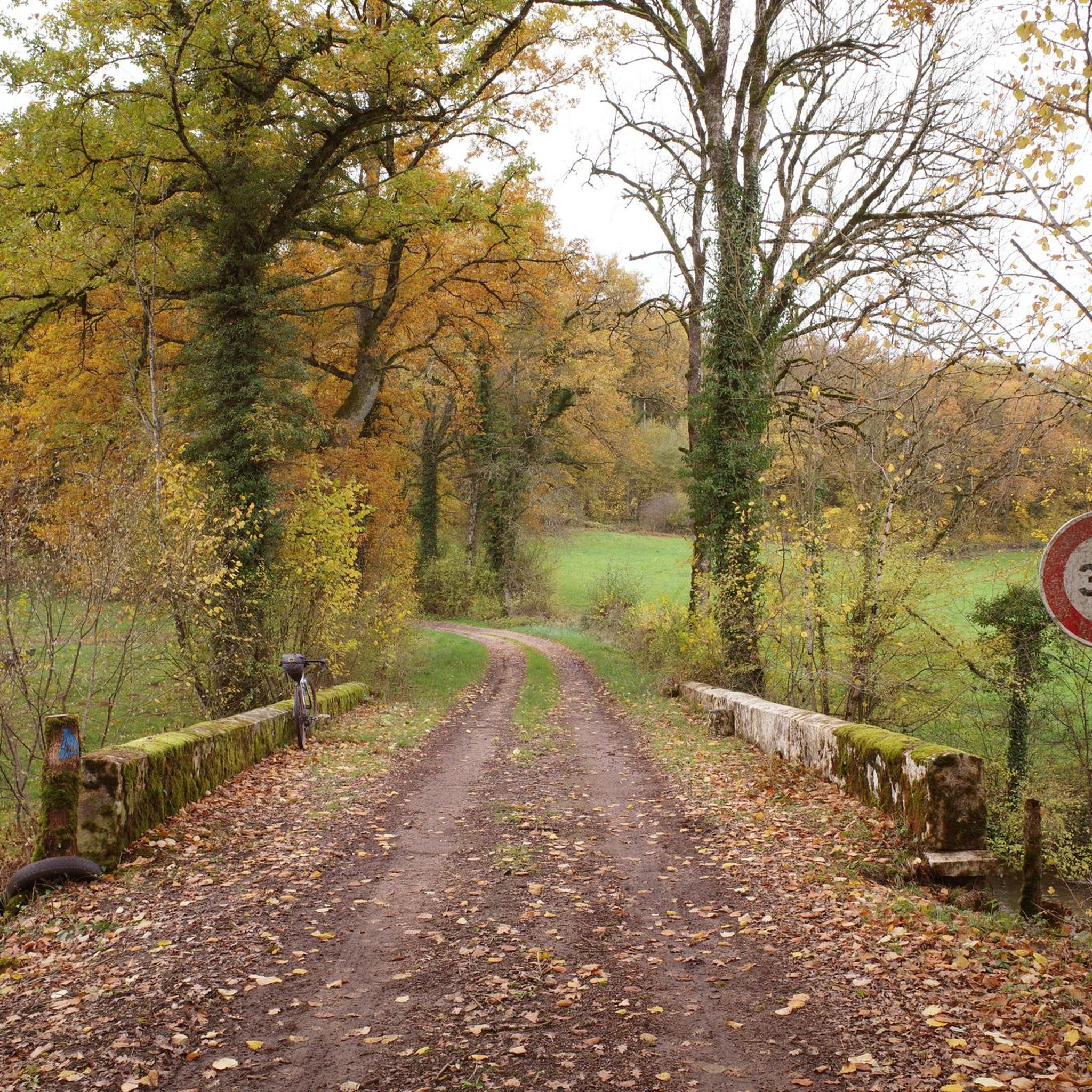
Hiking around Baigneux-Les-Juifs offers exploration of a landscape characterized by gently undulating limestone plateaus and the meandering Seine river. The terrain features elevation variations, with a high point reaching 441 meters and a low point of 325 meters along the Seine. Hikers can find trails through isolated wooded parcels, such as the "Bois des Roches," and along small streams that contribute to the natural environment.
Best hiking trails in Baigneux-Les-Juifs
- The most popular hiking route is Source of the Coquille…
Last updated: July 10, 2026
4.3
(3)
13
hikers
14.2km
03:57
270m
270m
Moderate hike. Good fitness required. Easily-accessible paths. Suitable for all skill levels.
4.3
(3)
12
hikers
12.6km
03:30
230m
230m
Moderate hike. Good fitness required. Easily-accessible paths. Suitable for all skill levels.

Sign up for free
3
hikers
4.88km
01:23
100m
110m
Easy hike. Great for any fitness level. Easily-accessible paths. Suitable for all skill levels.
4.5
(2)
5
hikers
20.2km
05:31
310m
310m
Hard hike. Very good fitness required. Easily-accessible paths. Suitable for all skill levels.
5.0
(1)
5
hikers
9.37km
02:37
170m
170m
Moderate hike. Good fitness required. Easily-accessible paths. Suitable for all skill levels.
Get access to more routes and recommendations from other explorers.
Sign up for free
Already have an account?
Our route recommendations are based on thousands of hikes, rides, and runs completed by other people on komoot.
Start today with a free account
Your next adventure awaits.
Login or Signup
Popular around Baigneux-Les-Juifs

Tips from the Community

Historical monument from the 15th century
0
0
Hiking boots with good tread are recommended
0
0
There are numerous picnic areas with tables and benches
0
0
Frequently Asked Questions
How many hiking trails are available around Baigneux-Les-Juifs?
There are over 20 hiking routes documented around Baigneux-Les-Juifs on komoot, offering a variety of experiences for different skill levels. You'll find 9 easy routes, 10 moderate, and 2 difficult trails.
What kind of terrain can I expect on hikes in Baigneux-Les-Juifs?
The region around Baigneux-Les-Juifs features gently undulating limestone plateaus and the meandering Seine river valley. Hikes often traverse isolated wooded parcels, such as the 'Bois des Roches', and follow small streams. Elevation varies, providing options from gentle strolls to moderately challenging ascents.
Are there any easy, family-friendly hikes in the area?
Yes, there are several easy routes suitable for families. One popular option is the Château de Quemigny-sur-Seine loop from Quemigny-sur-Seine, which is about 4.9 km long and takes around 1 hour 22 minutes to complete, leading through rural heritage areas.
Can I find circular hiking routes near Baigneux-Les-Juifs?
Many of the trails in the Baigneux-Les-Juifs area are circular, allowing you to start and end at the same point. For example, the moderate Source of the Coquille – Ferme de la Pothière loop from Étalante is a 12.6 km circular route exploring varied local terrain.
What are the longer, more challenging hikes in Baigneux-Les-Juifs?
For those seeking a more challenging experience, the Tumulus loop from Aignay-le-Duc is a difficult 20.19 km route that takes approximately 5 hours 31 minutes to complete, offering a substantial trek through the regional landscape.
What do other hikers say about the trails in Baigneux-Les-Juifs?
The hiking routes in Baigneux-Les-Juifs are highly rated by the komoot community, with an average score of 4.1 stars from more than 10 reviews. Hikers often praise the diverse terrain, from limestone plateaus to the meandering Seine river, and the well-documented paths.
Are there any specific natural features to look out for while hiking?
Hikers can explore the 'Bois des Roches' (Woods of the Rocks) located on the slopes of the Seine valley, as well as other isolated wooded parcels. The presence of several small streams also adds to the natural beauty, providing opportunities to observe local flora and fauna.
Are there any historical sites or landmarks along the hiking trails?
The region is rich in rural heritage. The 'Circuit du val de Seine' (a general regional route type) emphasizes the area's 'pierre de Bourgogne' (Burgundy stone) and allows hikers to discover sites with historical significance, such as the Ermitage du Val de Seine and La Forge.
What is the best time of year to go hiking in Baigneux-Les-Juifs?
The diverse landscapes of Baigneux-Les-Juifs, with its woodlands and river valleys, are enjoyable throughout much of the year. Spring and autumn offer pleasant temperatures and vibrant scenery, while summer provides lush greenery. Winter hikes are also possible, though conditions may vary.
Are there options for moderate hikes that explore the local landscape?
Yes, there are several moderate options. The Source of the Coquille – Cirque de la Coquille loop from Aignay-le-Duc is a moderate 13.9 km path that traverses the regional landscape, including areas shaped by the Seine river, and typically takes around 3 hours 53 minutes.
What is the elevation range for hikes in this region?
The elevation around Baigneux-Les-Juifs varies significantly, with a high point reaching 441 meters south of the commune and a low point of 325 meters along the Seine river to the north. This variation contributes to the diverse hiking experiences available.

Get inspired with the komoot mobile app


Explore more
Browse the best Hikes in other regions.
