The best mountain hikes around Esserts-Blay
5.0
(6)
56
hikers
4
hikes
Mountaineering around Esserts-Blay is characterized by its diverse alpine landscape within the Savoie region of France. The area features significant mountain ranges, including the Bauges Massif, and notable passes like the Tamié Pass, which separates valleys and provides access to varied terrain. Summits such as La Belle-Étoile offer extensive panoramic views of the surrounding mountains. The region's topography includes challenging ascents, river valleys, and alpine lakes, providing a rich environment for experienced mountaineers.
Best mountaineering routes around Esserts-Blay
- The most…
Last updated: October 13, 2026
5.0
(2)
23
hikers
10.9km
04:45
970m
970m
Hard mountaineering route. Very good fitness required. Mostly accessible paths. Sure-footedness required.
9
hikers
16.4km
07:38
1,430m
1,430m
Hard mountaineering route. Very good fitness required. Sure-footedness, sturdy shoes and alpine experience required.

5
hikers
15.5km
06:44
1,230m
1,220m
Hard mountaineering route. Very good fitness required. Sure-footedness, sturdy shoes and alpine experience required.
5.0
(1)
8
hikers
6.05km
03:44
690m
690m
Moderate mountaineering route. Good fitness required. Mostly accessible paths. Sure-footedness required.
5.0
(1)
3
hikers
8.36km
04:17
700m
710m
Hard mountaineering route. Good fitness required. Sure-footedness, sturdy shoes and alpine experience required.
Our route recommendations are based on thousands of hikes, rides, and runs completed by other people on komoot.
Start today with a free account
Your next adventure awaits.

Tips from the Community

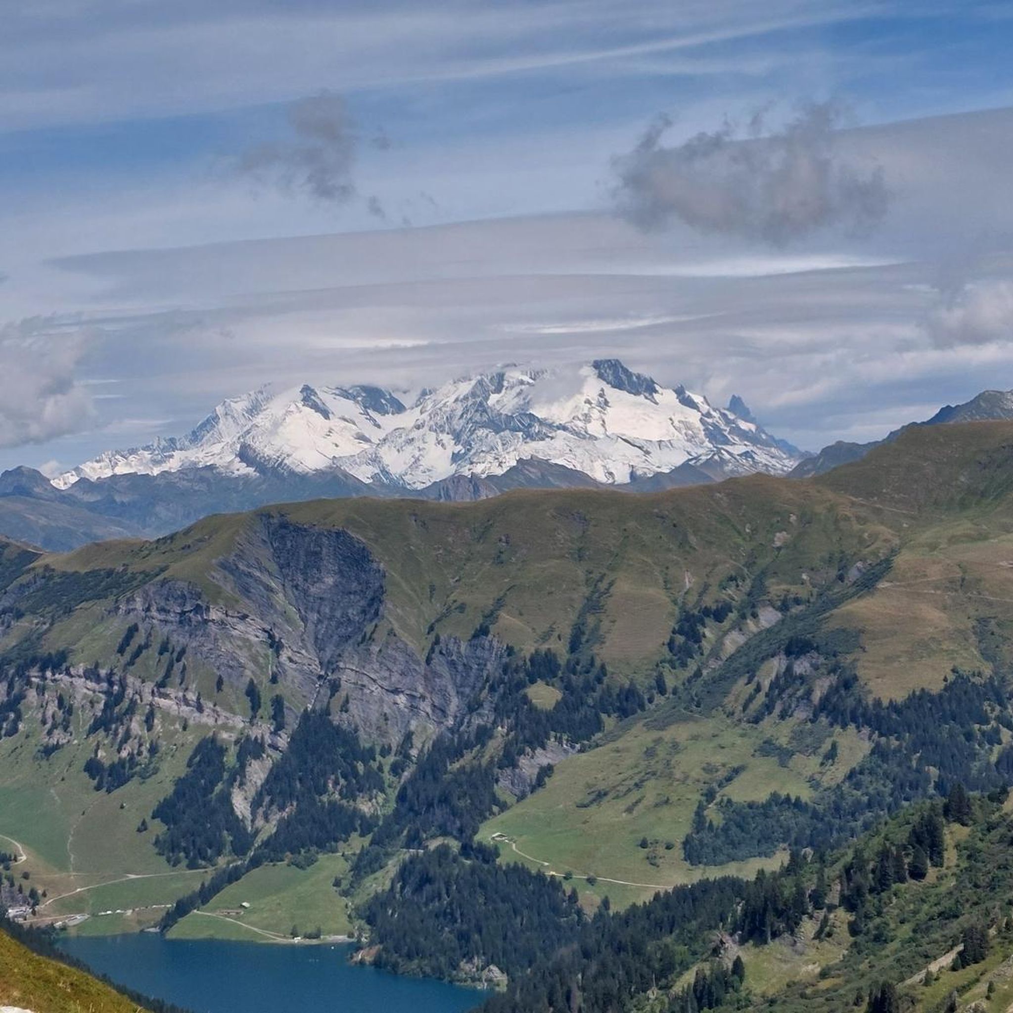
Beautiful view towards Mount Bellacha and the Grand Arc.
0
0

Amazing views on mount blanc, lac d’ annecy and more beautiful landscape! 😍 Attention, only take the path across the ridge to the chalet de L’Alpettaz if you are a really experienced hiker and like to get some adrenaline. It is super narrow and partly really dangerous. After finishing the dangerous part there is high grass through which the hike continues.
1
0

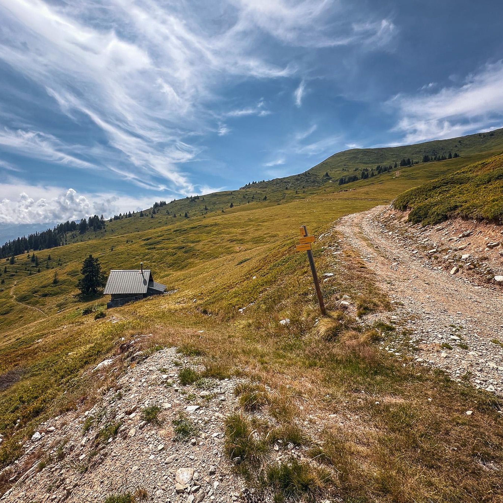
Chalet under renovation but part of it nevertheless provides shelter.
0
0
Access is quite physical but you are largely rewarded by the sumptuous 360° landscapes once at the top 🤩
1
0

At 1,889 meters above sea level, the Col de la Bâthie is located in the heart of the mountain pastures. It separates the Pointe de la Grande Journe and the Légette du Grand Mont. If you embark on the Beaufortain tour off-site, you will have the pleasure of passing through it.
1
1

Col de la Bâthie is at the head of the valley above the hamlet of Le Planay, and visible from the village of Arêches. There's a cross and signpost here at 1,889 metres (6,198 ft). The main route of the 100-kilometre (62 mi) Tour du Beaufortain crosses here.
0
2
Refuge les Arolles stands in an elevated position with views down into the valley and up towards La Légette du Grand Mont. Open in July and August serving drinks, snacks and meals, you can also stay here if you book in advance. The Piapolay chairlift links the village of Le Planay to a platform just below the refuge. If you take this rather than running, you'll save 1.8 kilometres (1.1 mi) of distance and 675 metres (2,215 ft) of ascent.
0
0

Very nice view with an outstanding 360° Alpine panorama! Coming from the north via Le pas de l'âne, don't underestimate the difficulty of the ridge. At the end of February there was still a lot of snow and the fuses are not in place over the entire length. In parts, the hike has more of a via ferrata character. The ridge is sometimes very narrow and it feels like several hundred meters down to the left and right. But if you are prepared for it and are used to challenging terrain, then it is a super nice hike and absolutely recommendable!
0
0
Frequently Asked Questions
What kind of mountaineering routes can I expect around Esserts-Blay?
Esserts-Blay offers challenging mountaineering experiences, primarily featuring difficult routes with significant elevation gains. These routes often involve accessible paths but require alpine experience and sturdy shoes. You'll find diverse alpine landscapes within the Savoie region, including the Bauges Massif and notable passes.
Are there any easier mountaineering routes for beginners in Esserts-Blay?
The mountaineering routes directly around Esserts-Blay are generally considered difficult, requiring very good fitness and sure-footedness. There are no routes categorized as 'easy' or 'moderate' in this specific guide. If you're looking for gentler options, you might consider exploring the cycle path along the Isère river for a warm-up before tackling more demanding climbs in the wider Savoie region.
What are some of the most popular mountaineering routes in the area?
Among the local favorites are the Pointe de la Grande Combe loop from Le Bois, which is a 10.2 km trail with a significant elevation gain, and the Lac de Lavouet – Lac Sans Fond loop from Le Planay, a challenging 15.9 km path leading to high-altitude alpine lakes. Another highly regarded option is the Lac Noir – Le Grand Arc loop from Tioulévé, a 15.7 km route through varied alpine terrain.
Are there any circular mountaineering routes available?
Yes, many of the mountaineering routes around Esserts-Blay are designed as loops. Examples include the Pointe de la Grande Combe loop from Le Bois, the Lac de Lavouet – Lac Sans Fond loop from Le Planay, and the Cote 2100 loop from Le Rafour, all offering a return to your starting point.
What kind of views can I expect on these mountaineering routes?
The region is renowned for its stunning panoramic views. Summits like La Belle-Étoile (1,841 meters) offer incredible vistas of the Bauges massif and Mont Blanc. Many routes feature expansive views of the surrounding mountains and alpine lakes, providing a rewarding scenic payoff for your efforts.
What are some interesting landmarks or natural features to see near the routes?
Beyond the challenging climbs, you can explore several notable features. The Tamié Pass, at 907 meters, offers accessible mountain terrain. You might also encounter alpine lakes like Lac de Lavouet and Lac Sans Fond, which are destinations for some of the longer loops. The area is also close to the protected Bauges massif, known for its rich biodiversity.
Are there any huts or refuges along the mountaineering routes for breaks or overnight stays?
Yes, there are several huts and refuges in the broader area that can serve as points for breaks or overnight stays. Notable options include Refuge Les Arolles, Chalet du Lac, and Refuge du Nant du Beurre. These can be valuable resources for longer expeditions.
What do other mountaineers say about the routes in Esserts-Blay?
The mountaineering routes around Esserts-Blay are highly rated by the komoot community, with an average score of 4.8 stars from over 7 reviews. Mountaineers often praise the challenging ascents, the beauty of the alpine lakes, and the panoramic views of the Bauges Massif, highlighting the varied and rewarding terrain.
Is Esserts-Blay suitable for family-friendly mountaineering?
Given that all listed mountaineering routes are categorized as 'difficult' with significant elevation gains and durations, they are generally not considered suitable for young children or families seeking easy walks. These routes require alpine experience and very good fitness. For family-friendly outdoor activities, you might look for easier hiking trails or cycling paths in the wider Savoie region.
Can I bring my dog on the mountaineering routes in Esserts-Blay?
While many trails in France are dog-friendly, the specific regulations for mountaineering routes, especially those within protected areas like the Bauges Massif, can vary. It's always best to check local signage or park regulations for the specific route you plan to undertake, as some areas may require dogs to be on a leash or may restrict access to protect wildlife.
What is the best time of year for mountaineering in Esserts-Blay?
The best time for mountaineering in Esserts-Blay typically aligns with late spring, summer, and early autumn (roughly June to September) when the snow has melted from higher elevations and weather conditions are generally more stable. Always check current weather forecasts and trail conditions before heading out, as alpine weather can change rapidly.
Are there any historical sites or cultural attractions near Esserts-Blay?
Yes, Esserts-Blay itself has historical significance, with the vestiges of the 'Château' d'Esserts-Blay, a renovated structure that once controlled the valley. Additionally, the nearby Abbey of Tamié, while not fully open to visitors, has an accessible church and a shop where you can find the famous Tamié cheese, offering a glimpse into the region's cultural heritage.
Most popular attractions around Esserts-Blay

Get inspired with the komoot mobile app


Explore more
Browse the best Mountain Hikes & Routes in other regions.
