The best mountain hikes around Ottrott
5.0
(1)
7
hikers
3
hikes
Mountaineering routes around Ottrott traverse a landscape characterized by forested hills and historical landmarks in the Vosges foothills. The region features moderate elevation changes, with routes often leading to panoramic viewpoints and significant cultural sites like Mont Sainte-Odile. Terrain typically includes well-maintained paths through woodlands, offering a blend of natural scenery and historical exploration.
Best mountaineering routes around Ottrott
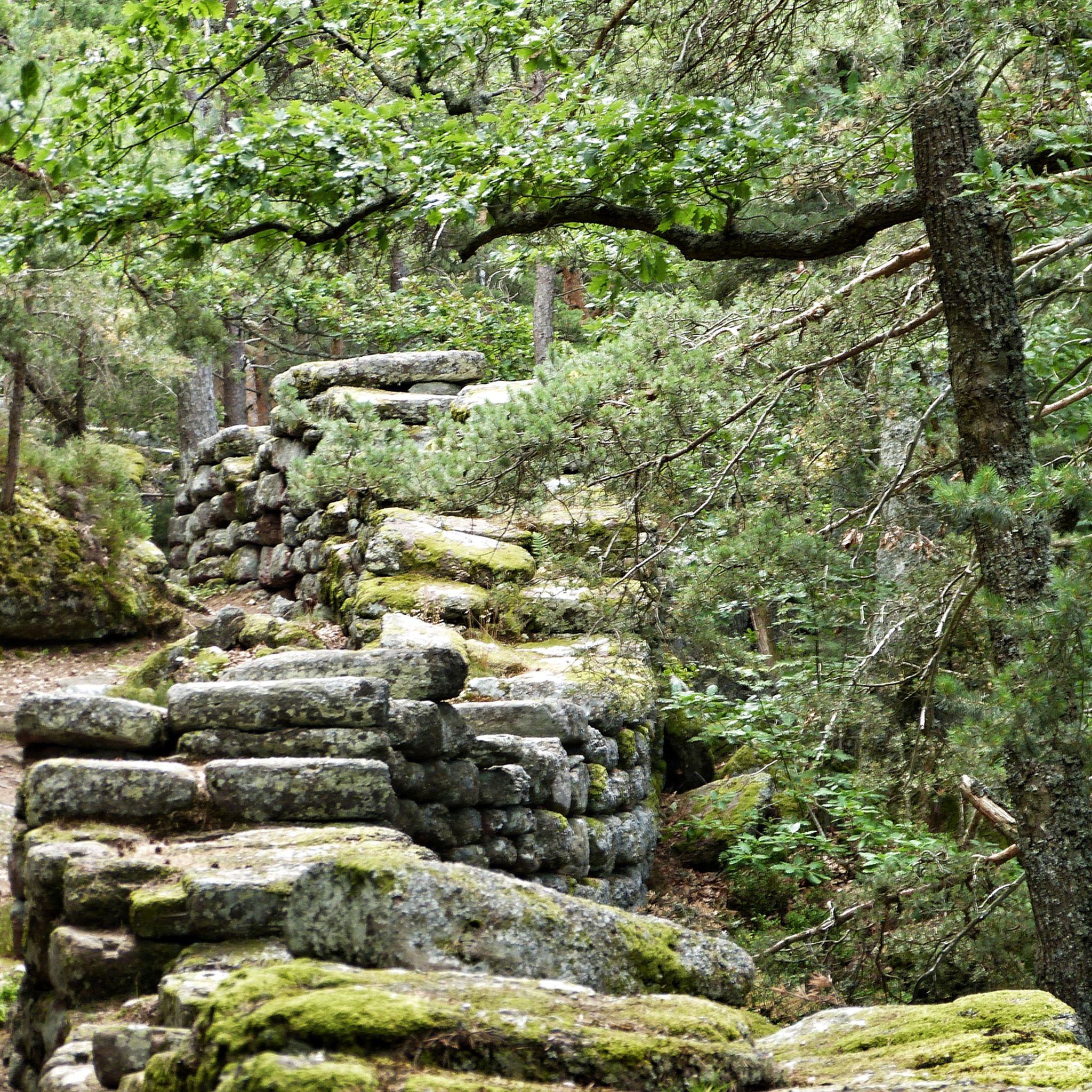
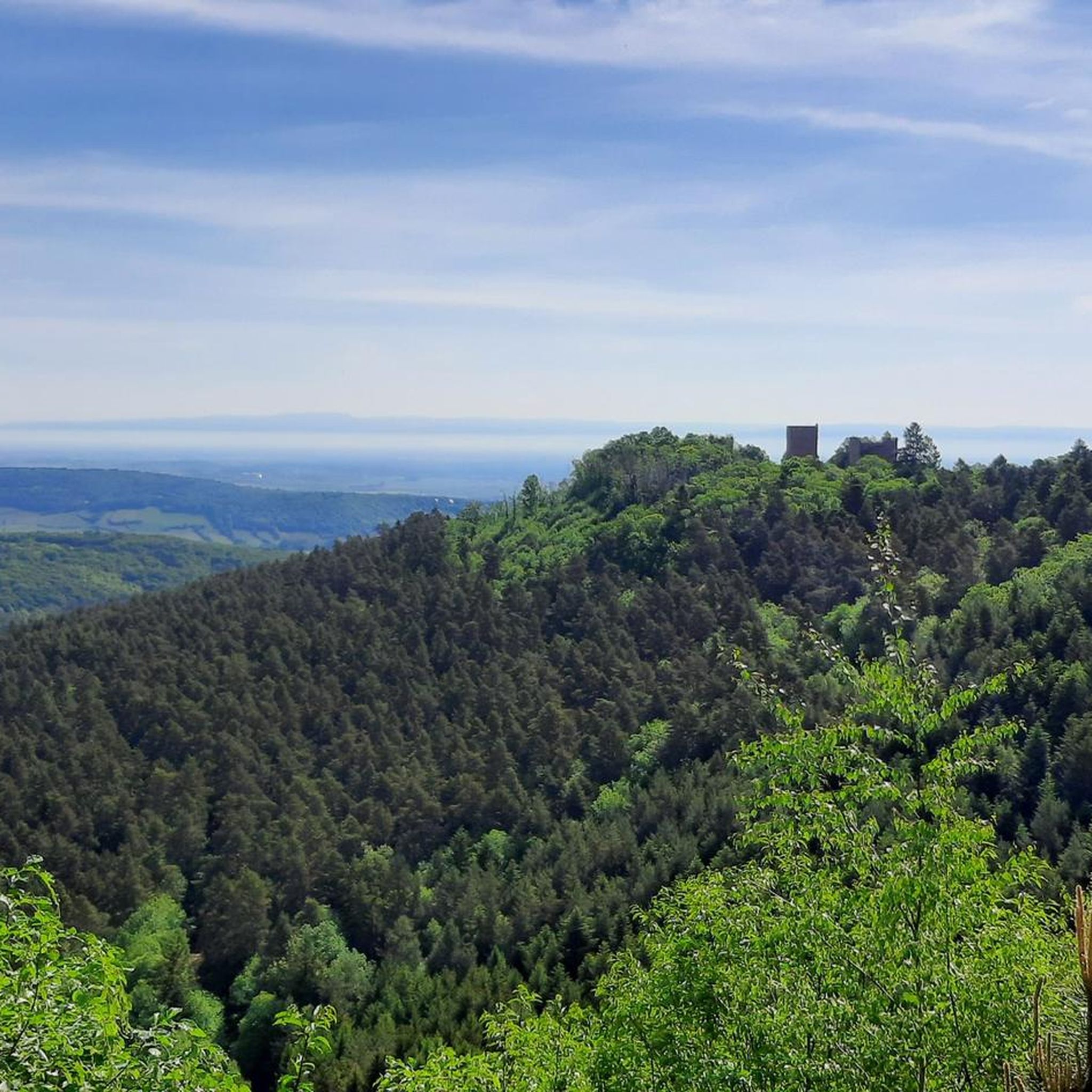
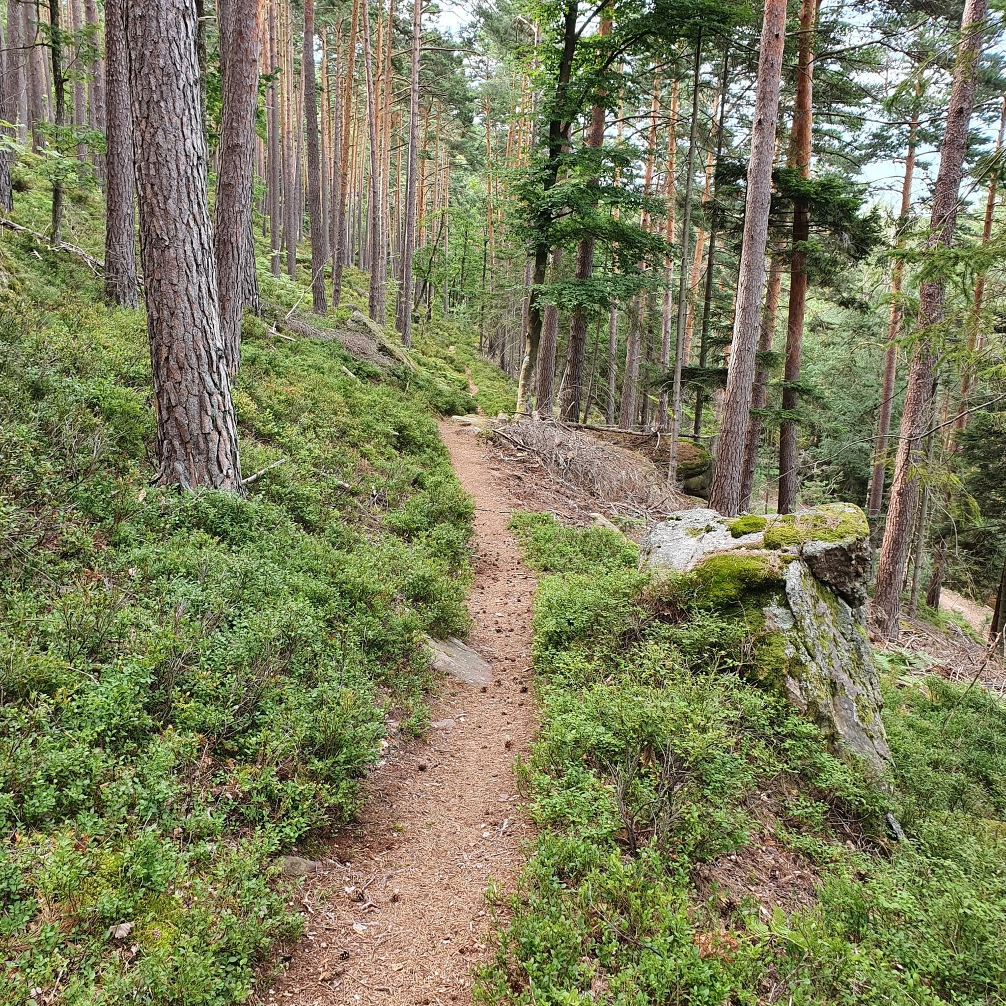
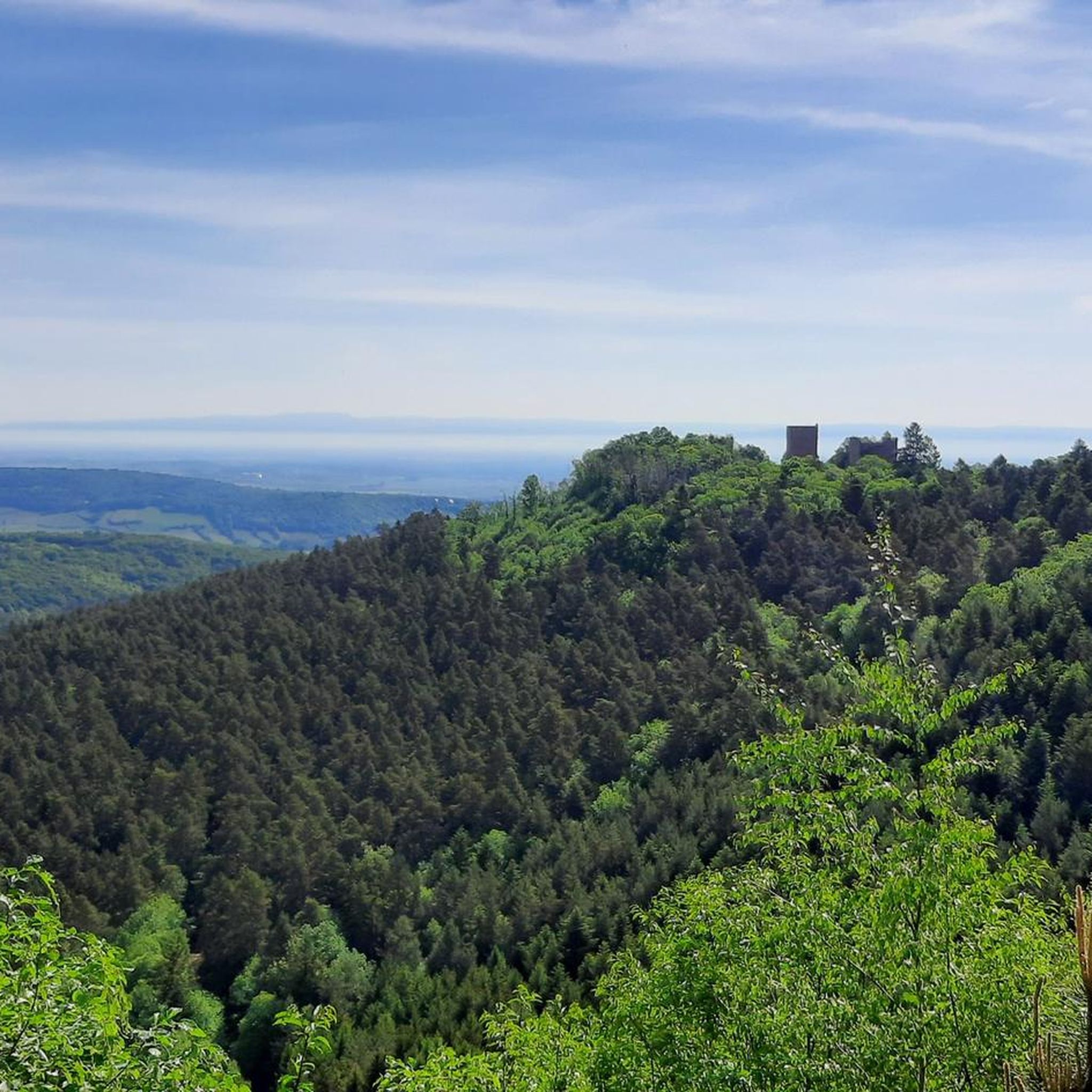
- The most popular mountaineering route is Mont Sainte-Odile Abbey – Mount Sainte-Odile loop from Ottrott, an 8.3 miles (13.4 km)…
Last updated: October 12, 2026
4
hikers
13.4km
04:16
540m
540m
Moderate mountaineering route. Good fitness required. Easily-accessible paths. Suitable for all skill levels.
5.0
(1)
2
hikers
9.44km
03:03
420m
420m
Moderate mountaineering route. Good fitness required. Easily-accessible paths. Suitable for all skill levels.

1
hikers
Moderate mountaineering route. Good fitness required. Mostly accessible paths. Sure-footedness required.
Our route recommendations are based on thousands of hikes, rides, and runs completed by other people on komoot.
Start today with a free account
Your next adventure awaits.


Other adventures around Ottrott

Tips from the Community

The Odilienberg (763 m) in Alsace is the most important spiritual center of the region. Founded around 690 by Saint Odilia, the monastery attracts hundreds of thousands of pilgrims annually. The centerpiece of the complex is the Basilica of the Assumption of Mary (1687–1692) with the burial chapel, where the relics of the patron saint rest in an 8th-century sandstone sarcophagus. Directly on the panoramic terrace are the Chapel of Tears and the Chapel of Angels (12th century), known for their luminous gold mosaics from 1935. Inside the basilica, there is also a fine wooden inlaid Way of the Cross by Charles Spindler. Below the monastery rocks runs a magnificent hiking trail. It leads past the monumental, colorful ceramic Way of the Cross (14 stations) and the Lourdes Grotto, both integrated directly into the red sandstone by Léon Elchinger in the 1930s. About a 15-minute walk further down, the Odilien spring emerges in the forest, its water traditionally sought for eye ailments. The entire mountain plateau is enclosed by the Heidenmauer, a mysterious, 11-kilometer-long prehistoric defensive wall. Following the hiking trails further south, you reach the Maennelstein (817 m), the highest point of the ridge, which offers a wide panoramic view over the Rhine plain to the Black Forest. The monastery grounds are open all year round and admission is free. Would you like to use this short text for a brochure or are you still looking for information on how to get there for your tour? AI answers may contain errors. For legal advice, you should consult an expert. More information
0
1
Champ du Feu, at 1099 meters, is the highest mountain in the Bas-Rhin department of the Vosges in Alsace. It is located between the villages of Belmont and Le Hohwald and consists of an extensive high plateau with forests, meadows, and moorlands. The area is a popular nature and recreational area. In summer, it is mainly used for hiking, mountain biking, and nature observation. In winter, there is a small ski resort with cross-country trails and simple slopes for winter sports. The stream La Serva originates from Champ du Feu and later forms the Cascade de la Serva. In clear weather, the summit offers wide views over the Vosges, the Rhine plain, and as far as the Black Forest. The area is particularly known for its tranquil nature, high moors, sunrises and starry skies, as well as well-marked hiking trails.
0
0
Champ du Feu, at 1099 meters, is the highest mountain in the Bas-Rhin department of the Vosges in Alsace. It lies between the towns of Belmont and Le Hohwald and consists of an extensive high plateau with forests, meadows, and moorlands. The area is a popular nature and recreational area. In summer, it is mainly used for hiking, mountain biking, and nature observation. In winter, there is a small ski area with cross-country trails and simple slopes for winter sports. The brook La Serva originates from Champ du Feu, later forming the Cascade de la Serva. In clear weather, the summit offers wide views over the Vosges, the Rhine plain, and as far as the Black Forest. The area is particularly known for its tranquil nature, high moors, sunrises and starry skies, as well as well-marked hiking trails.
0
0

Beautiful tour with many small highlights and viewpoints.
0
0

Possible origins of the name: Celtic rituals: It is believed that solstice and sacrificial fires were lit here in Celtic times. Charcoal burners' fire: The "fire" could also refer to the fires lit by charcoal burners in the surrounding forests of the Vosges Mountains. Cattle pasture: A popular theory states that the French word "feu" is a corruption of the German word "Vieh," meaning "field of cattle," as it was a sparsely wooded plateau where cattle could graze. Text from the Internet
1
0

A really great view of the surrounding area!
1
0

Small but nice. Right on the side of the road.
0
0

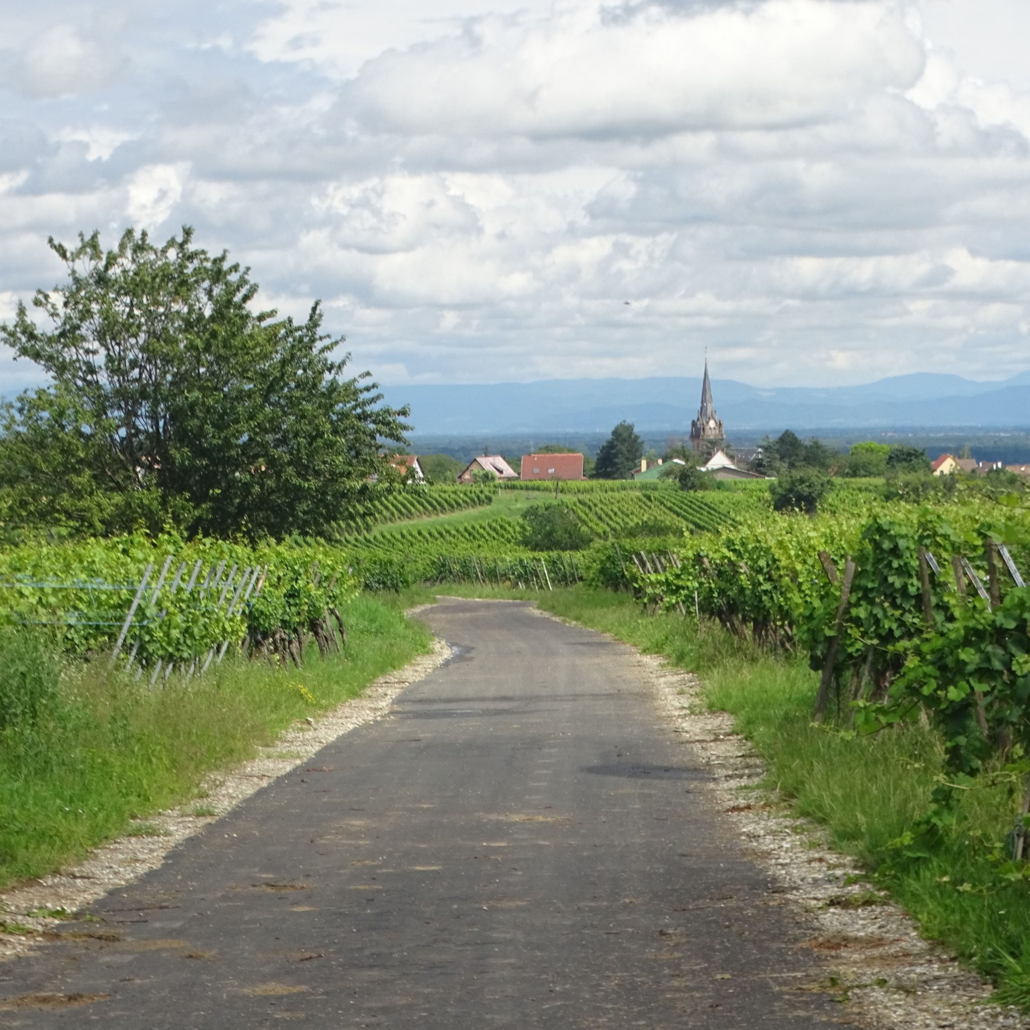
In the heart of Alsace, at the foot of Mont Sainte-Odile, lies Ottrott, world-famous for its red wine. This charming little village nestled in the countryside is the land of Mont Sainte-Odile and welcomes visitors to a flower-filled atmosphere. Hiking trails lead to the discovery of the 10.5 km long "Mur Paien" (pagan wall) in the heart of the forest, whose origins remain unknown. Winemakers, for their part, have used their expertise to enhance the "Rouge d'Ottrott," a Burgundy grape variety cultivated in the region since the 11th century. Perched on a hilltop is the Mont Sainte-Odile Abbey, a pilgrimage center in Alsace. Magnificent panoramic views offer views of the Alsatian plain and the Vosges Mountains.
3
1
Frequently Asked Questions
How many mountaineering routes are featured in this guide for Ottrott?
This guide highlights three distinct mountaineering routes around Ottrott, each offering a unique experience through the region's forested hills and historical sites.
Are there easy mountaineering routes around Ottrott?
The mountaineering routes featured in this guide are all classified as moderate. While they offer rewarding experiences, beginners should be prepared for some elevation gain and varying terrain. For those seeking a moderate challenge, routes like the Mont Sainte-Odile Abbey – Mount Sainte-Odile loop from Ottrott provide a good introduction to the area's trails.
Are the mountaineering routes around Ottrott suitable for families?
The routes around Ottrott are generally moderate, involving significant elevation changes and distances. While older, more experienced children might enjoy them, families with younger children or those new to mountaineering should carefully review the route details, such as the Elsberg – Hohenbourg loop from Ottrott, to ensure they match their family's ability and endurance.
What natural sights or landmarks can I see along the mountaineering routes?
The routes around Ottrott are rich in natural beauty and historical significance. You can encounter impressive natural monuments like the Saint Odile's Spring or the unique Rocher des Géants. Some trails also lead to panoramic viewpoints, offering expansive vistas of the Vosges foothills.
Are there any waterfalls along the mountaineering routes near Ottrott?
Yes, the region around Ottrott features beautiful natural attractions. You might discover the serene Hohwald waterfall, which can be a refreshing stop on your mountaineering adventure.
Are the mountaineering routes around Ottrott circular?
Yes, all the mountaineering routes highlighted in this guide are designed as circular loops. This allows you to start and finish at the same point, making logistics simpler. Examples include the Mont Sainte-Odile Abbey – Mount Sainte-Odile loop from Ottrott and the Chapel – Champ du Feu Monoliths loop.
What is the best season for mountaineering in Ottrott?
Spring and autumn are generally considered the best seasons for mountaineering around Ottrott. The weather is typically mild, and the changing foliage offers stunning scenery. Summer can also be pleasant, but it's advisable to start early to avoid the midday heat. Winter mountaineering is possible but requires appropriate gear and awareness of snow and ice conditions.
Where can I park for mountaineering routes near Ottrott?
Specific parking information is usually detailed on each individual route page. Many trailheads around Ottrott, especially those leading to popular sites like Mont Sainte-Odile, have designated parking areas. It's always recommended to check the komoot tour details for the specific route you plan to undertake for precise parking locations.
Can I access mountaineering routes near Ottrott by public transport?
Access to trailheads by public transport can vary. While some larger towns in the Vosges foothills have bus services, direct public transport links to every trailhead might be limited. We recommend checking local bus schedules or considering a combination of public transport and a short taxi ride to reach more remote starting points. Detailed access information is often available on the individual komoot tour pages.
Are dogs allowed on the mountaineering routes near Ottrott?
Generally, dogs are permitted on most trails in the Vosges region, including those around Ottrott, provided they are kept on a leash. However, always check for specific signage or local regulations, especially in nature reserves or protected areas, as rules can vary. Ensure your dog is well-behaved and that you clean up after them to preserve the natural environment.
Are there cafes or places to eat along the mountaineering routes?
The region around Ottrott, particularly near popular destinations like Mont Sainte-Odile, offers opportunities for refreshments. You might find traditional 'fermes-auberges' (farm inns) or small cafes in nearby villages or at significant landmarks. For example, the Charbonnière Pass is known to have a pub. It's always a good idea to carry sufficient water and snacks, especially on longer routes, as services may not be continuously available.
What do mountaineers appreciate about the routes around Ottrott?
Mountaineers often praise the diverse landscape of the Ottrott region, which combines challenging ascents with historical exploration. The routes are appreciated for their well-maintained paths through dense woodlands, leading to rewarding panoramic viewpoints and significant cultural sites like Mont Sainte-Odile. The komoot community has rated the overall experience highly, reflecting the quality of these trails.
Most popular routes around Ottrott
Most popular attractions around Ottrott

Get inspired with the komoot mobile app


Explore more
Browse the best Mountain Hikes & Routes in other regions.
