The best mountain hikes around Sarreguemines
5.0
(4)
11
hikers
6
hikes
Mountaineering routes around Sarreguemines explore the diverse landscapes of the Palatinate Forest and Northern Vosges, characterized by dense woodlands, sandstone rock formations, and historic castle ruins. While Sarreguemines itself is not a traditional mountaineering destination, the surrounding region offers opportunities for vertical challenges, including rock climbing sites like Le Rocher Philippe. The terrain features varied elevation gains, traversing forested hills and river valleys.
Best mountaineering routes around Sarreguemines
- The most popular mountaineering route is Tziganes Rock – Klingelfels Rock Formation…
Last updated: June 25, 2026
5.0
(2)
2
hikers
12.4km
03:52
460m
460m
Moderate mountaineering route. Good fitness required. Mostly accessible paths. Sure-footedness required.
5.0
(1)
4
hikers
10.3km
02:49
160m
160m
Moderate mountaineering route. Good fitness required. Easily-accessible paths. Suitable for all skill levels.

Sign up for free
1
hikers
12.3km
04:02
490m
500m
Moderate mountaineering route. Good fitness required. Mostly accessible paths. Sure-footedness required.
1
hikers
11.2km
03:41
400m
400m
Moderate mountaineering route. Good fitness required. Mostly accessible paths. Sure-footedness required.
5.0
(1)
1
hikers
12.5km
03:29
240m
240m
Moderate mountaineering route. Good fitness required. Easily-accessible paths. Suitable for all skill levels.
Our route recommendations are based on thousands of hikes, rides, and runs completed by other people on komoot.
Start today with a free account
Your next adventure awaits.
Login or Signup
Popular around Sarreguemines
Mountain Hikes around Sturzelbronn

Mountain Hikes around Egelshardt

Mountain Hikes around Philippsburg
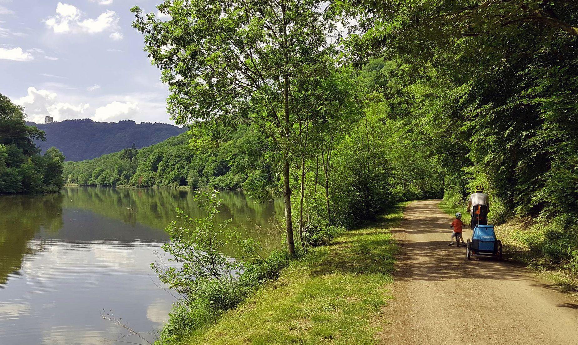
Saar Cycle Route — through the Saarland to the Moselle
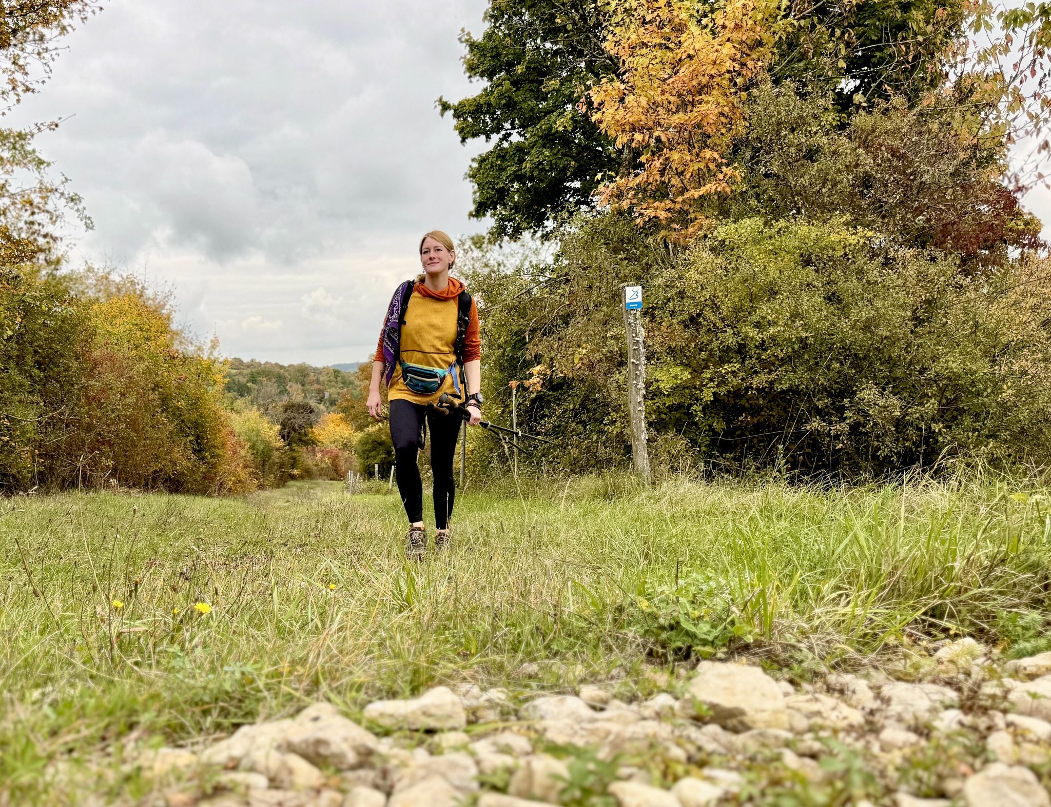
The Bliessteig – Saarland's colorful autumn dream
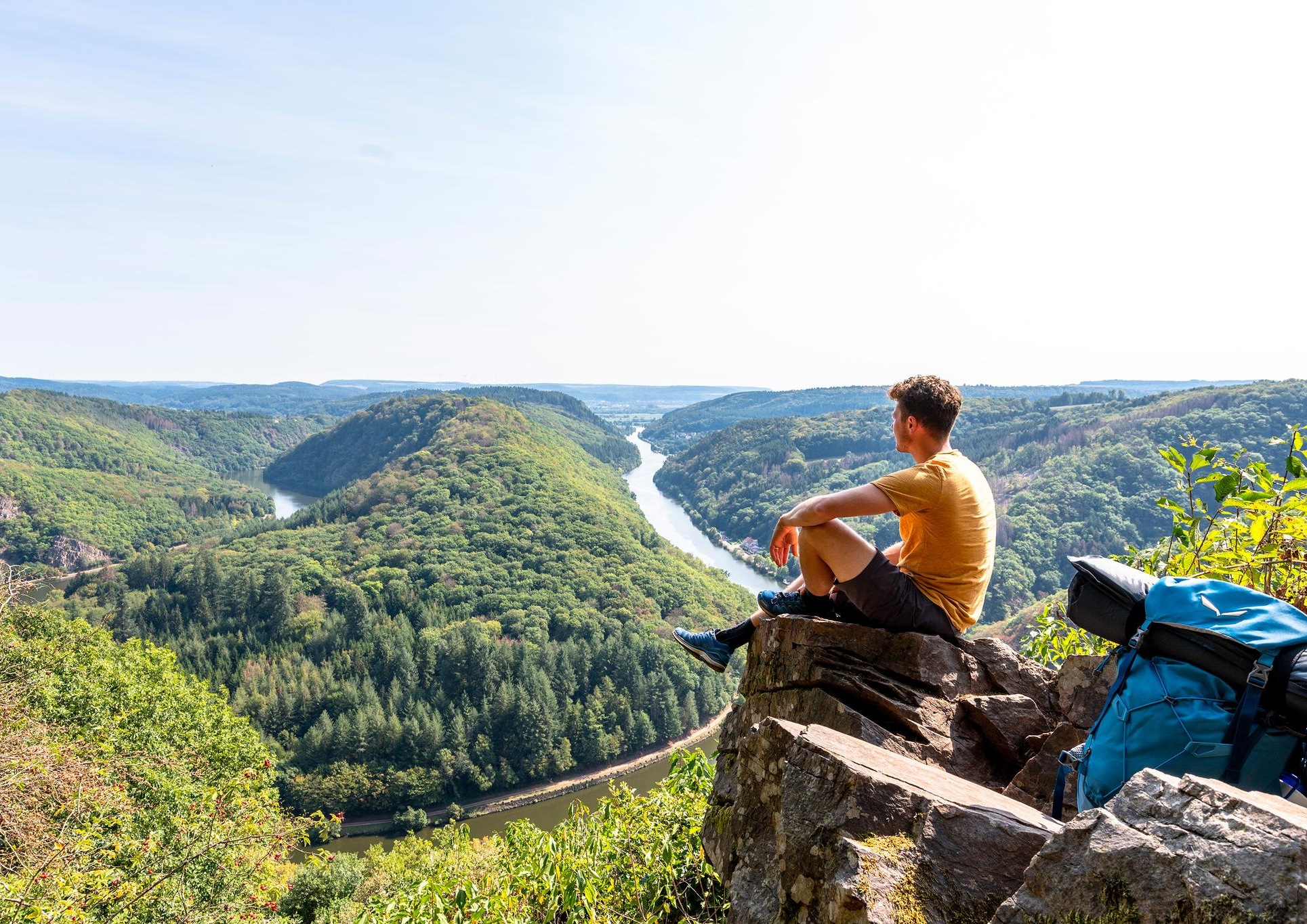
So close, so diverse – the most beautiful hikes in Saarland
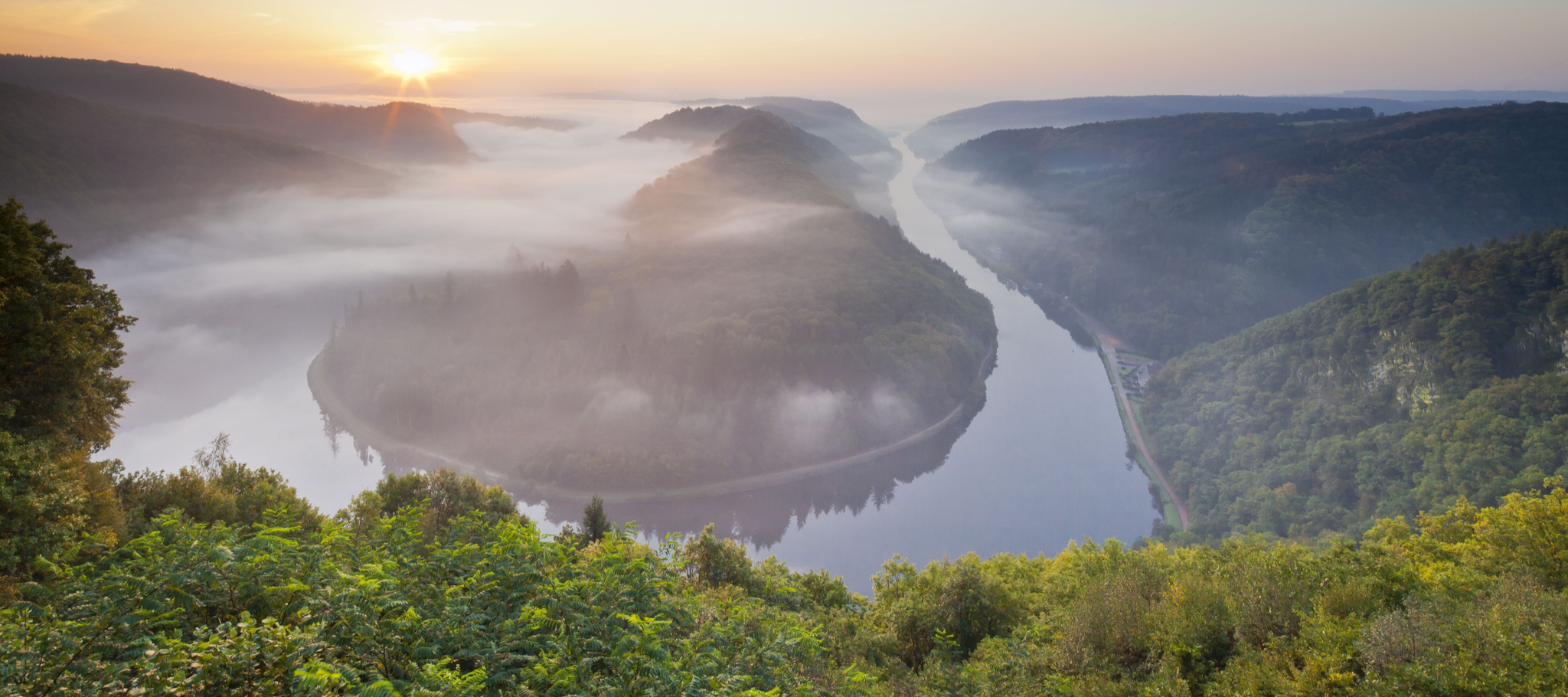
Between the Saarschleife and the Blies – the most beautiful hikes in Saarland
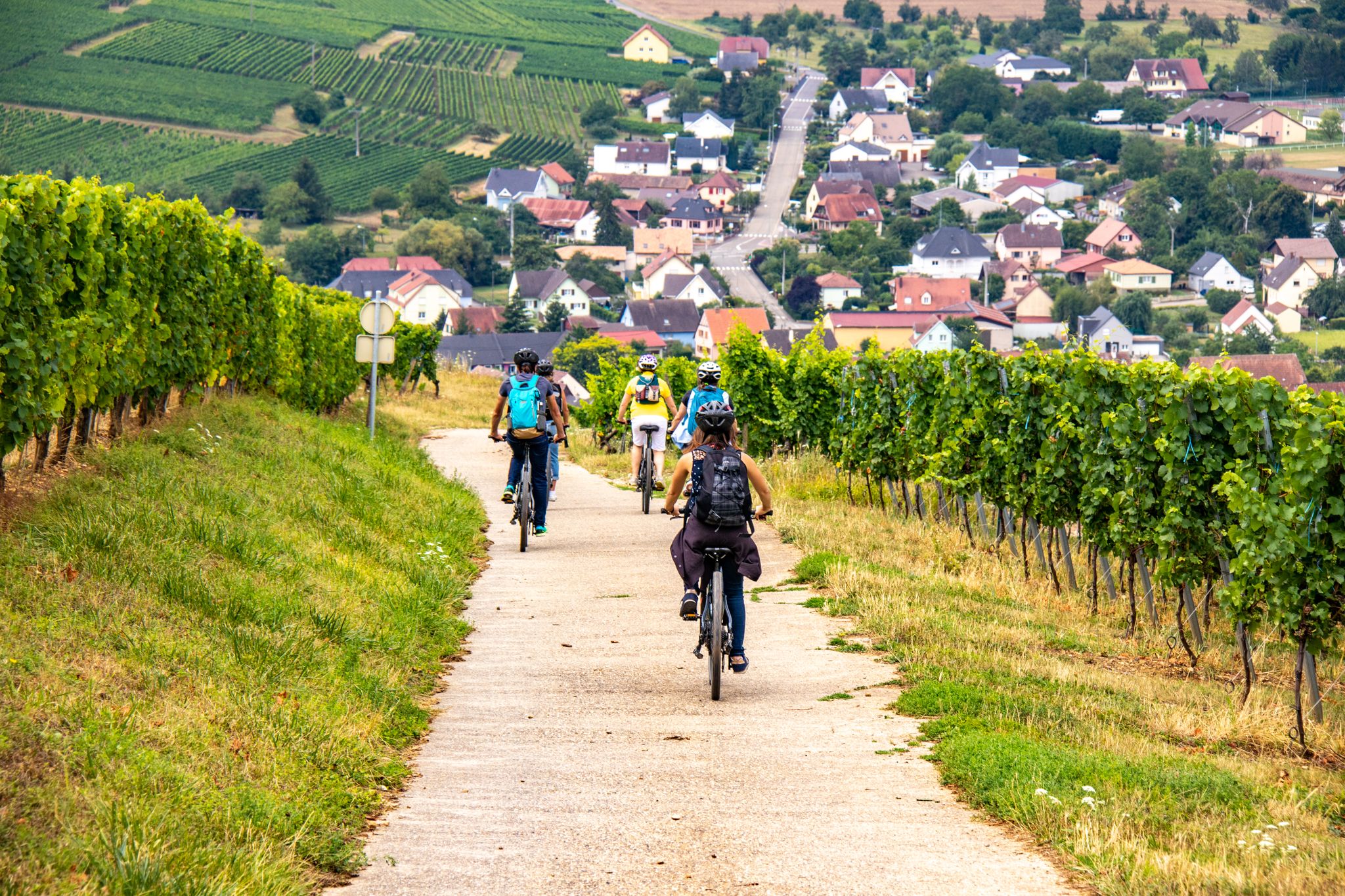
EuroVelo 5 - Via Romea (Moselle - Alsace)
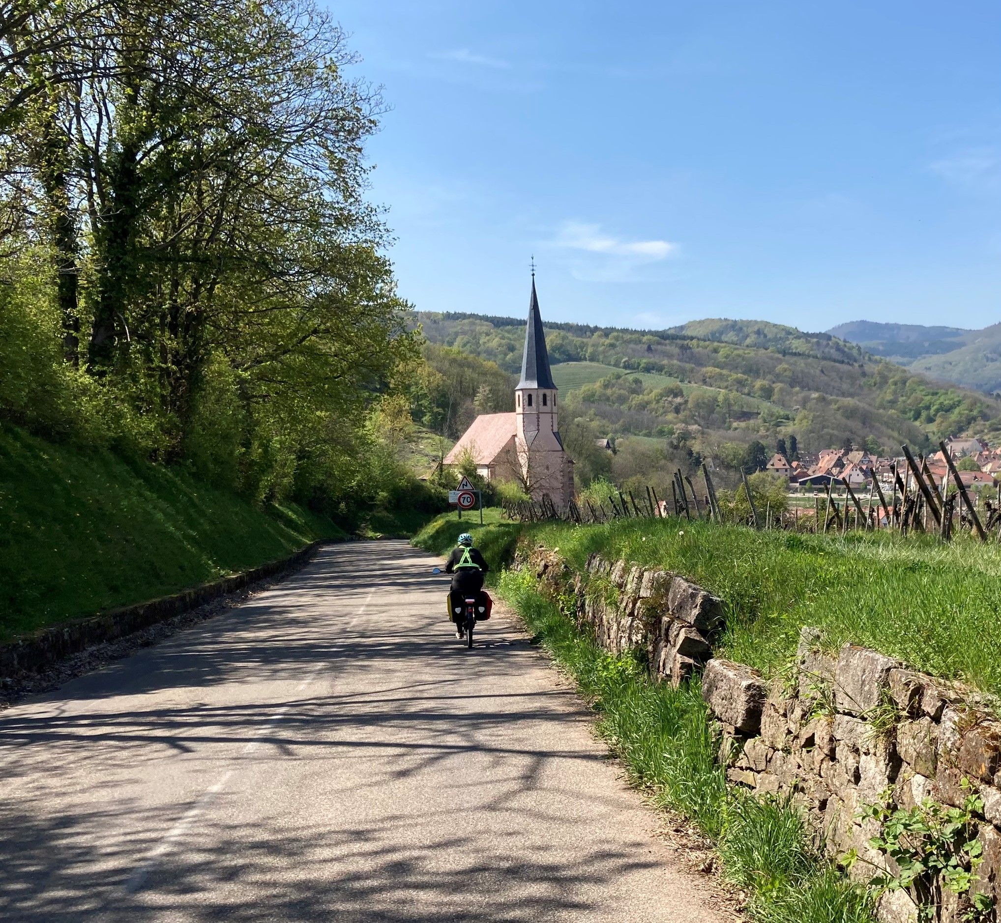
The Via Romea Francigena in Alsace-Moselle – EuroVelo 5
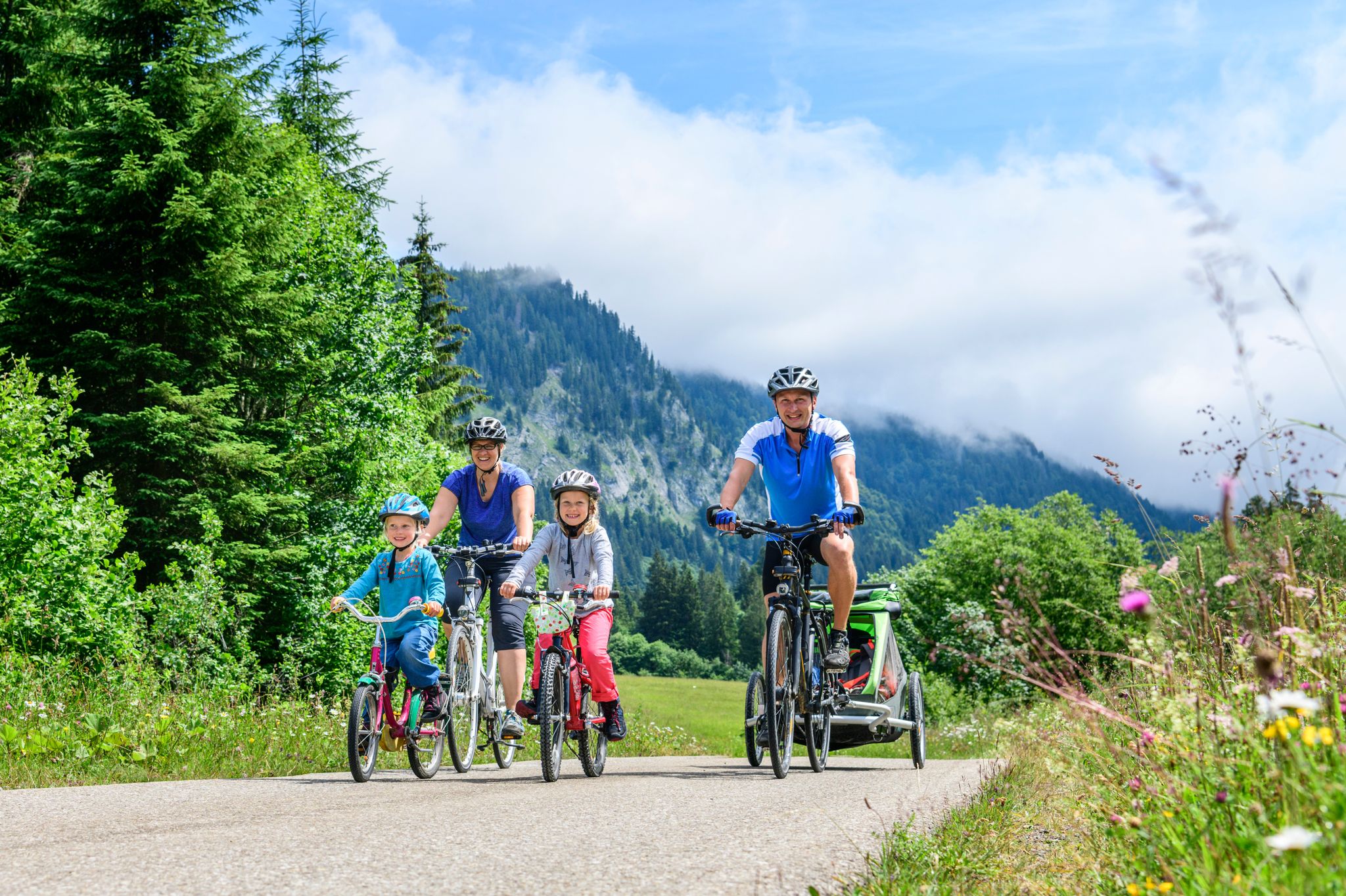
German Cycling Network – Cycling all over the country on the D-Routes
Other adventures around Sarreguemines


Tips from the Community

A play of colors that is second to none. From strong red, depending on the light, orange, between gray and mossy rocks. And again and again the different shapes, caves and passages.
5
0

Gienanth Fountain from 1842 in front of the manor house in Schönau. In 1835, Ludwig von Gienanth acquired the smelting works, which went bankrupt in 1883.
1
1

The Altschlossfelsen (also known as Eppenbrunn Castle) are a group of red sandstone rocks designated as a natural monument (ND) ND-7340-205 and a cultural monument (KD) in the municipality of Eppenbrunn in the Palatinate Forest on the border with France, and are the largest rock formation in the Palatinate. They are located on the eastern slope of the Brechenberg (406 m) near Eppenbrunn and Roppeviller at an elevation of approximately 365 m above sea level at the northeast end and 380 m above sea level at the southwest end of the rock band. The Altschlossfelsen are a group of red sandstone rocks approximately one and a half kilometers long and up to 30 meters high. The group consists of sandstone towers and walls. The Altschlossfelsen are crisscrossed by cracks and joints, some of which are wide enough to climb through. They are known primarily for their diverse weathering phenomena and rare lichens. The summit plateau can be reached from the north and south on narrow paths. There, you'll find a sparse forest and moss-covered rocks. A special lighting situation created by the sun, the "rock glow," is best seen around 7:00 p.m. in the first half of April, depending on weather conditions, vegetation, and the position of the sun. In the morning hours, the glow occurs around 8:45 a.m. Finds from the Hallstatt and Roman periods attest to earlier settlement of the rock group. In 1964, for example, shards from the La Tène period (c. 450–50 BC) were found. Traces of a medieval castle from the 11th or 12th century are found on the four main rocks. These include the remains of a stepped structure, post holes, remains of masonry, and notches for beams in the rock. A depression with a diameter of four meters is located on a rock, which may have served as a cistern. Additionally, on the southern and northern slopes around the rock formation, humped blocks, which may have originated from the structure of a former castle, as well as shards from the High Middle Ages were found in a wall groove. A more precise dating of the castle complex is difficult, as the castle was not mentioned before 1297 or later in the 1605 border description between Lorraine and the County of Hanau-Lichtenberg. Source: https://de.wikipedia.org/wiki/Altschlossfelsen
1
0

A great place for camping, a good restaurant, a great welcome, beautiful hiking and biking trails. Thanks to the owners, very accommodating.
0
0

Not far from Hohenbourg Castle, near the German-French border, lies the Maiden's Fountain, which bears witness to a tragic story: For a long time, the lords of Hohenbourg and Wegelnburg were enemies. And as fate would have it, the squire Robert von Wegehiburg fell in love with Edwige, daughter of the lord of Hohenbourg. She often lingered at the abundant spring between the two castles. One day, Robert went hunting. He chased a wild boar that was heading towards the spring where Edwige was. In the heat of the moment, the boar leaped at Edwige, but Robert, a skilled hunter, managed to catch it just in time, and with this act, he won his beloved's heart. The two often spent time secretly at this spring between the feuding castles. But one day, the lord of Hohenbourg surprised his daughter in the arms of his arch-enemy's son. In a blind rage, he stabbed Robert to death before Edwige's eyes. She collapsed with grief and died on the spot, instantly following her lover into the realm of the dead. Since that terrible day, two forget-me-not bushes have grown at this spring, which is now known as the Maiden's Fountain. It is not uncommon to see a white shadow above the Maiden's Fountain at dusk: this is the ghost of Edwige, descending from the cellars of Hohenbourg Castle to visit the place of her love. There she sings mournful words and sheds tears into the stream before being carried away by the wind.
8
0

Great viewpoint of the surrounding forest.
1
0

The largest rock in the Palatinate Forest.
0
0
Frequently Asked Questions
How many mountaineering routes are available around Sarreguemines?
There are 6 distinct mountaineering routes around Sarreguemines featured in this guide, all offering a moderate challenge. These trails explore the diverse landscapes of the Palatinate Forest and Northern Vosges.
What kind of terrain can I expect on mountaineering routes near Sarreguemines?
The terrain around Sarreguemines is characterized by dense woodlands, impressive sandstone rock formations, and historic castle ruins. You'll encounter varied elevation gains as routes traverse forested hills and river valleys, providing a mix of natural beauty and historical interest.
Are there any easy or challenging mountaineering routes in the Sarreguemines area?
The mountaineering routes featured in this guide are all rated as moderate in difficulty. While there are no routes specifically classified as 'easy' or 'difficult' within this selection, the moderate trails offer a good balance for those seeking a rewarding outdoor experience without extreme technical demands.
What are some notable natural landmarks or attractions to see along these routes?
Many routes will lead you through areas rich in natural beauty and historical sites. For instance, you can explore impressive rock formations like those on the Tziganes Rock – Klingelfels Rock Formation loop or the striking Altschloss Rocks – Altschlossfelsen loop. The region also features protected natural areas like the Ippling Moor, known for its exceptional biodiversity. Additionally, you can discover fascinating caves such as the Erbsenthal Cave or the Hasslingerfelsen Cave, and various natural monuments.
Can I find circular mountaineering routes around Sarreguemines?
Yes, all the mountaineering routes highlighted in this guide are circular. This includes popular options like the Hohenbourg Castle – View from Wegelnburg Castle loop and the Peace Cross on the Maimont – Wolfsfelsen Rock loop, allowing you to start and end at the same point.
What is the typical duration for these mountaineering routes?
The routes generally range from approximately 3 to 4.5 hours to complete. For example, the Tziganes Rock – Klingelfels Rock Formation loop takes about 3 hours 53 minutes, while the Hohenbourg Castle – View from Wegelnburg Castle loop is often completed in about 4 hours 2 minutes.
Are there opportunities for rock climbing near Sarreguemines?
While Sarreguemines itself doesn't have natural climbing sites within a 15 km radius, there is a notable rock climbing site called Le Rocher Philippe near Philippsbourg. This site offers 25 to 50 sport climbing routes on sandstone, with difficulties ranging from 5c to 8a and a maximum height of 20 meters.
What do other mountaineers say about the routes in Sarreguemines?
The routes in Sarreguemines are highly rated by the komoot community, with an average score of 5.0 stars from over 4 reviews. Mountaineers often praise the diverse landscapes, the impressive rock formations, and the well-maintained paths that make for an enjoyable experience.
Are the mountaineering routes around Sarreguemines suitable for families?
The region offers a wide network of marked hiking trails, many of which are suitable for various levels, including family walks. While the routes in this guide are rated moderate, the general area provides diverse options. It's always recommended to check the specific route details, distance, and elevation gain to ensure it matches your family's capabilities.
Can I bring my dog on these mountaineering trails?
Generally, dogs are welcome on hiking trails in the Sarreguemines region. However, it's always best to keep them on a leash, especially in protected natural areas or near wildlife. Please check local regulations or specific trail signage for any restrictions before you go.
What is the best time of year to go mountaineering in Sarreguemines?
The Sarreguemines region is beautiful throughout much of the year. Spring and autumn offer pleasant temperatures and vibrant scenery, making them ideal for hiking. Summer can also be great, especially in the forested areas, but be prepared for warmer weather. Winter conditions can vary, with some trails potentially being icy or muddy, so check forecasts and trail conditions if planning a winter trip.
Are there any historical sites, like castles, to visit along the routes?
Yes, the region is rich in history. Several routes, such as the Hohenbourg Castle – View from Wegelnburg Castle loop, lead directly past historic castle ruins. Other notable castles in the wider area include Falkenstein Castle ruins, Ramstein Castle, and Waldeck Castle, offering fascinating glimpses into the past.
Most popular routes around Sarreguemines
Most popular attractions around Sarreguemines

Get inspired with the komoot mobile app


Didn’t find what you were looking for?
Check out more Mountain Hikes & Routes throughout Sarreguemines below and find the perfect route in your destination.
Explore more
Browse the best Mountain Hikes & Routes in other regions.
