The best gravel rides around Étang de Virelles
5.0
(1)
14
riders
2
rides
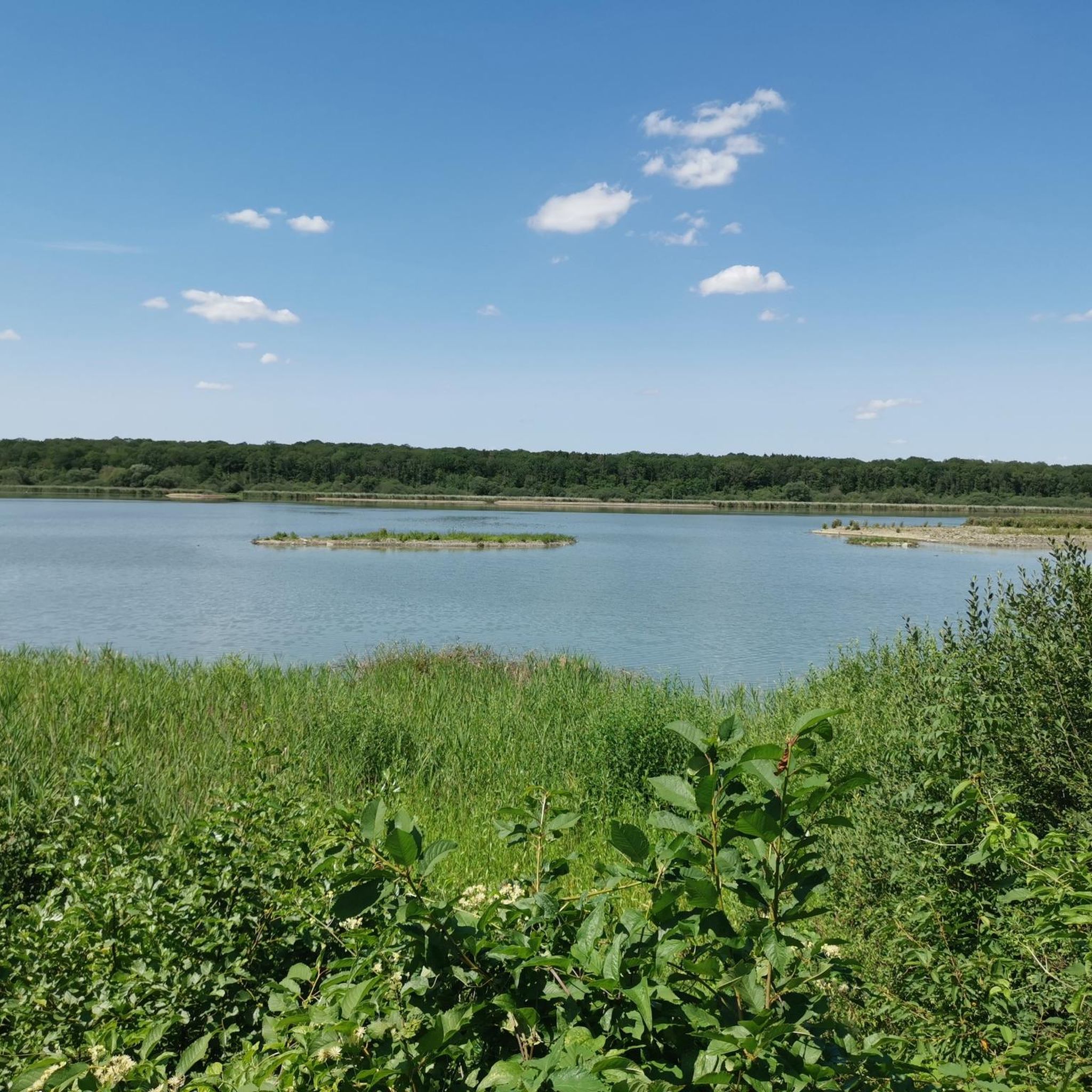
Gravel biking around Étang de Virelles offers routes through a landscape characterized by rolling terrain, dense woodlands, and paths around various water bodies. The region is centered around the 135-hectare Étang de Virelles, one of Wallonia's largest wetlands, featuring extensive reedbeds, humid forests, and grasslands. Elevations are generally moderate, with some routes including more significant climbs, providing varied scenery for gravel riders. The area's network of trails is suitable for exploring the natural and historical heritage of the Fagne and…
Last updated: July 16, 2026
5.0
(1)
5
riders
Hard gravel ride. Very good fitness required. Mostly paved surfaces. Suitable for all skill levels.
4
riders
84.3km
05:16
900m
900m
Hard gravel ride. Very good fitness required. Mostly paved surfaces. Suitable for all skill levels.

Sign up for free
5
riders
33.1km
02:19
430m
430m
Moderate gravel ride. Good fitness required. Mostly paved surfaces. Suitable for all skill levels.
Our route recommendations are based on thousands of hikes, rides, and runs completed by other people on komoot.
Start today with a free account
Your next adventure awaits.
Login or Signup
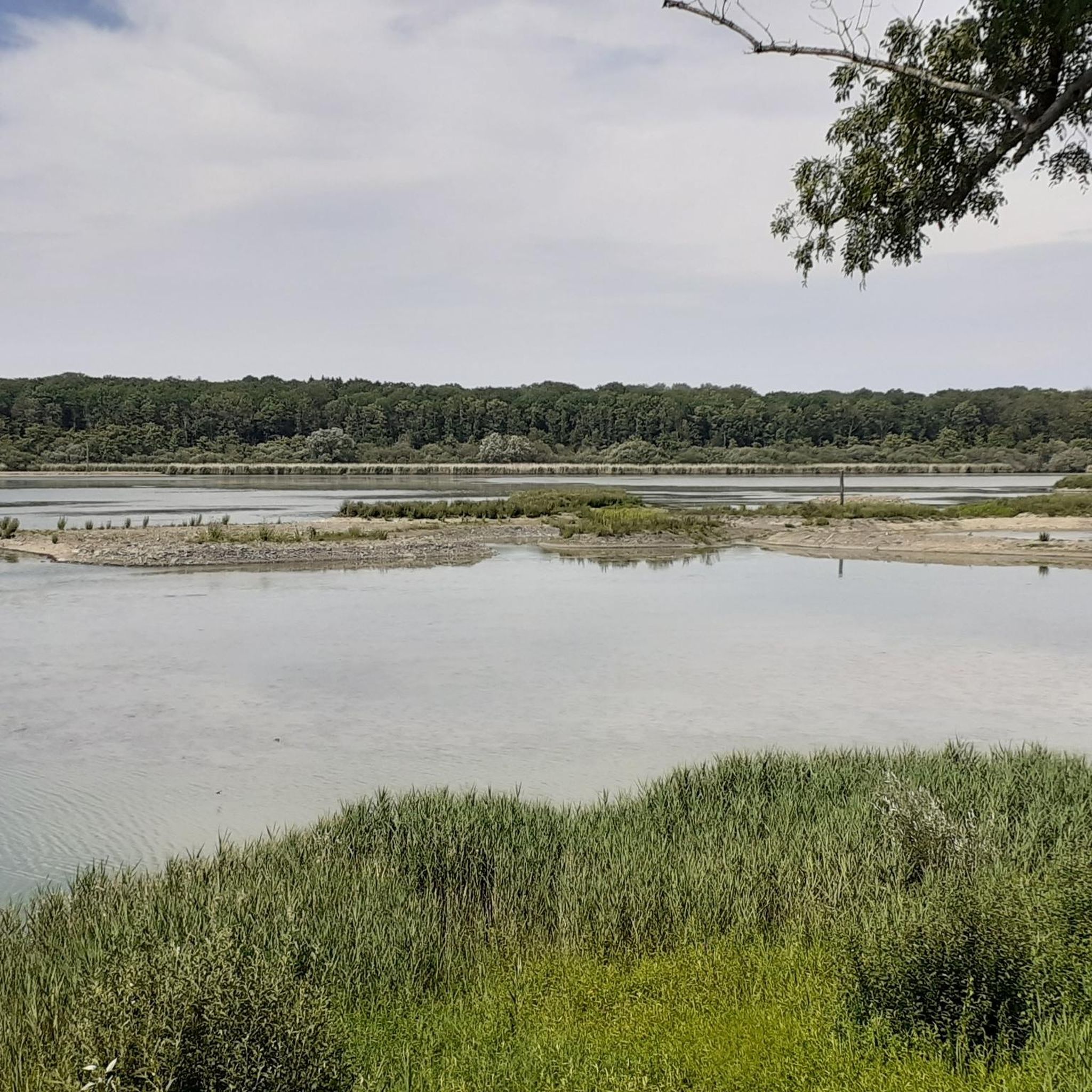
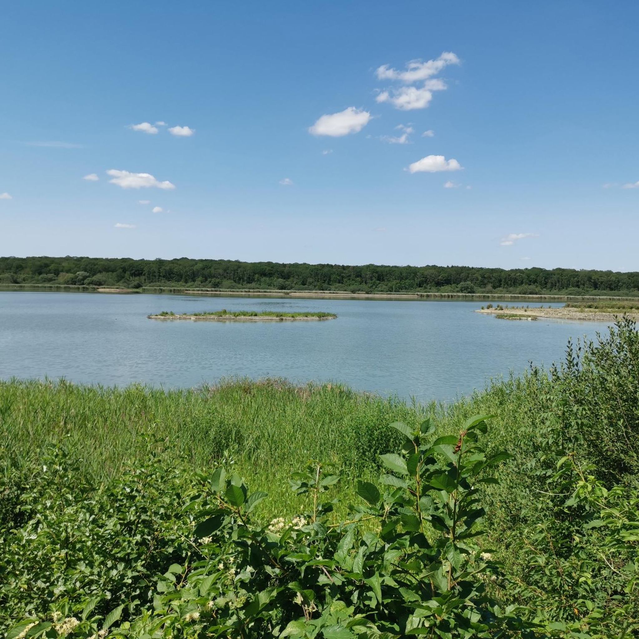
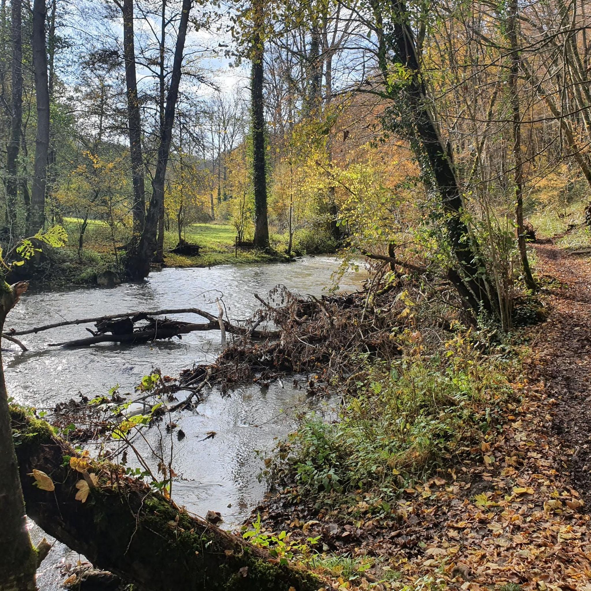
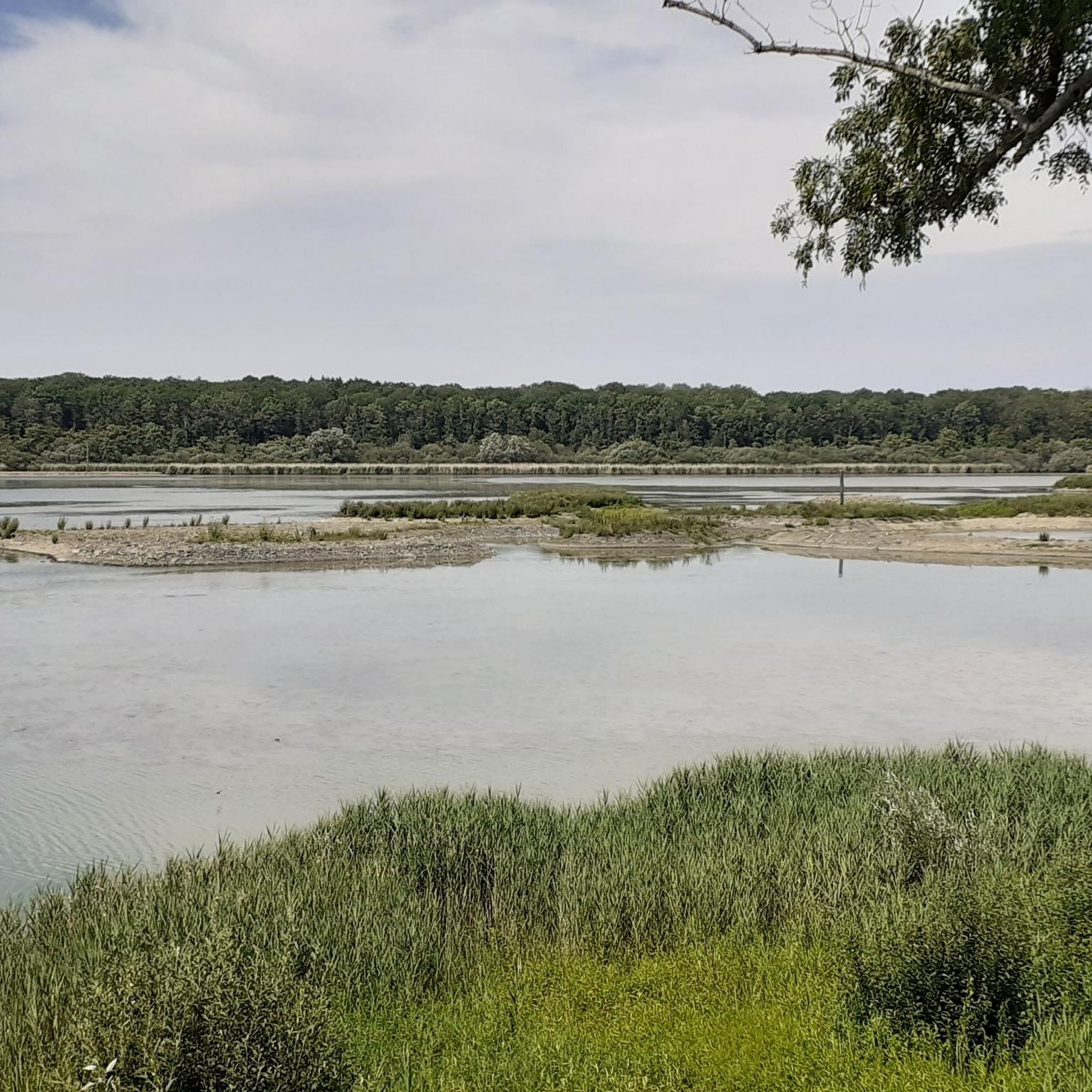
Tips from the Community

The lock, designated as the Sluis van La Plate Taille, was built as part of a large-scale water project developed in the second half of the 20th century. This project aimed to buffer water, prevent floods, create drinking water reserves, and provide a stable basis for energy production through hydropower. The lock allows water to be moved in a controlled manner between different levels and compartments of the lake system. Technically, the lock functions on the principle of water level regulation between two basins with different levels. Using sluice gates and lock doors, water can be slowly let in or drained, allowing ships (where applicable) or water masses to be moved safely without sudden pressure differences. In this specific case, the emphasis is less on shipping and more on hydrological control within the reservoir complex. Its location at La Plate Taille is hydrologically strategic. This lake serves as a central reservoir within the Lacs de l’Eau d’Heure and directly influences the water balance of the surrounding region. The lock helps regulate water levels, especially during heavy rainfall or dry periods, thus supporting the broader water management system. Ecologically, the lock indirectly contributes to the management of the ecosystem in and around the lakes. Controlled water movement affects the quality and distribution of water, which in turn impacts fish populations, aquatic plants, and bank vegetation. Managing the water level is therefore not only a technical but also an ecological responsibility.
0
0


another nice trail
0
0

Plenty of water sports to enjoy all around. Several cycling trails for all levels and bikes.
2
0

@Nicolas Yes, it's generally quite flat along the water's edge. From the lake, it's possible to go back up towards Olloy-sur-Viroin. If you're looking for a bit of elevation gain, you should find what you're looking for there 😅
0
0


The Grand Pont in Couvin is a historic stone bridge dating from the 19th century. It spans the Eau Noire and offers a picturesque view of the river and the town center of Couvin. This bridge is an ideal starting point for walks along the Eau Noire and in the charming streets of Couvin. The architecture of the bridge, with its elegant arches, is emblematic of the local heritage.
1
0
Frequently Asked Questions
What is the general difficulty level of gravel biking trails around Étang de Virelles?
The gravel biking trails around Étang de Virelles are predominantly challenging. Out of the 7 available routes, 6 are rated as difficult, featuring significant climbs and varied terrain. There is one moderate route available for those seeking a slightly less strenuous ride.
Are there any beginner-friendly gravel routes in the Étang de Virelles area?
While most routes are rated difficult, there is one moderate gravel route available. For beginners, it's advisable to carefully review the elevation profiles and distances of any chosen route to ensure it matches your fitness level. The region's landscape generally includes rolling terrain and some significant climbs.
What kind of terrain can I expect on gravel bike trails near Étang de Virelles?
You can expect a diverse landscape characterized by rolling terrain, dense woodlands, and paths around various water bodies. Routes often include sections through natural reserves and past historical sites, offering a mix of natural beauty and cultural landmarks. Elevations are generally moderate, but some routes feature more significant climbs.
How many gravel bike trails are available in the Étang de Virelles region?
There are 7 gravel bike trails available for exploration in the Étang de Virelles region, offering a range of distances and challenges for riders.
Are there any circular gravel bike routes around Étang de Virelles?
Yes, many of the gravel routes in the area are designed as loops. For example, the Château de Boussu-en-Fagne – Chimay Castle loop from Parc national de l’Entre-Sambre-et-Meuse and the Main Square of Chimay – Chimay Castle loop from Robechies are popular circular options that allow you to start and end at the same point.
What are some notable landmarks or points of interest along the gravel bike trails?
The routes often pass by significant historical sites and natural features. You can explore areas around Chimay Castle, the Ry de Rome Dam, and various natural reserves. The Château de Boussu-en-Fagne – Chimay Castle loop from Parc national de l’Entre-Sambre-et-Meuse, for instance, connects historical castles with sections through a national park.
What do other gravel bikers enjoy the most about gravel biking in Étang de Virelles?
The area is highly rated by the komoot community, with an average score of 5.0 stars. Reviewers often praise the varied terrain, the combination of natural reserves and historical sites, and the challenging yet rewarding rides through the Entre-Sambre-et-Meuse region.
Are there any long-distance gravel routes for experienced riders?
Yes, for experienced riders seeking longer distances, the View of Lake Val Joly – Main Square of Chimay loop from Froidchapelle Ferme Saint-Antoine offers a substantial challenge at nearly 110 km with over 1100 meters of elevation gain. Another demanding option is the Eau d'Heure Dam – View of the Eau d'Heure Dam loop from Froidchapelle, which is over 84 km long.
When is the best time of year for gravel biking around Étang de Virelles?
The region's climate generally supports gravel biking through spring, summer, and autumn. Spring and early autumn offer pleasant temperatures and vibrant scenery. While winter riding is possible, be prepared for potentially wet and muddy conditions, especially on unpaved sections, and shorter daylight hours.
Are there opportunities to see viewpoints or scenic spots on the gravel routes?
Given the rolling terrain and presence of lakes and dams, many routes offer scenic viewpoints. For example, the View of Lake Val Joly – Main Square of Chimay loop from Froidchapelle Ferme Saint-Antoine explicitly mentions a view of Lake Val Joly, and routes around the Eau d'Heure Dam also provide impressive vistas.
Where can I find parking for gravel biking near Étang de Virelles?
Many routes start from towns or villages like Robechies or Froidchapelle, where public parking is typically available. For routes originating from natural areas, look for designated parking at trailheads or near key landmarks mentioned in the route descriptions, such as near the Parc national de l’Entre-Sambre-et-Meuse or Réserve naturelle agréée de Boutonville.
Are there cafes or places to stop for refreshments along the gravel trails?
Routes that pass through or near towns like Chimay, such as the Main Square of Chimay – Chimay Castle loop from Robechies, will offer opportunities for cafes and refreshments. For routes in more remote natural areas, it's advisable to carry sufficient water and snacks, as amenities might be sparse.
Most popular routes around Étang de Virelles

Get inspired with the komoot mobile app


Explore more
Browse the best Gravel rides in other regions.
