The best mountain hikes around Lake della Vacca
4.0
(3)
33
hikers
3
hikes
Mountaineering routes around Lake della Vacca are situated in a high alpine environment within a glacial basin at 2,358 meters, at the southern end of the Adamello mountain range in Lombardy, Italy. The region features rugged mountains with numerous peaks exceeding 2,500 meters, including Cornone di Blumone and Monte Frerone. This area provides a challenging setting for mountaineering, characterized by its imposing terrain and glacial formations. The artificial Lake della Vacca integrates into this natural landscape.
Best mountaineering routes around…
Last updated: July 1, 2026
2
hikers
12.1km
05:09
820m
810m
Hard mountaineering route. Very good fitness required. Sure-footedness, sturdy shoes and alpine experience required.
10
hikers
11.7km
05:22
820m
820m
Hard mountaineering route. Very good fitness required. Sure-footedness, sturdy shoes and alpine experience required.

Sign up for free
4.0
(3)
21
hikers
7.40km
05:14
1,030m
1,030m
Hard mountaineering route. Very good fitness required. Sure-footedness, sturdy shoes and alpine experience required.
Our route recommendations are based on thousands of hikes, rides, and runs completed by other people on komoot.
Start today with a free account
Your next adventure awaits.
Login or Signup
Popular around Lake della Vacca
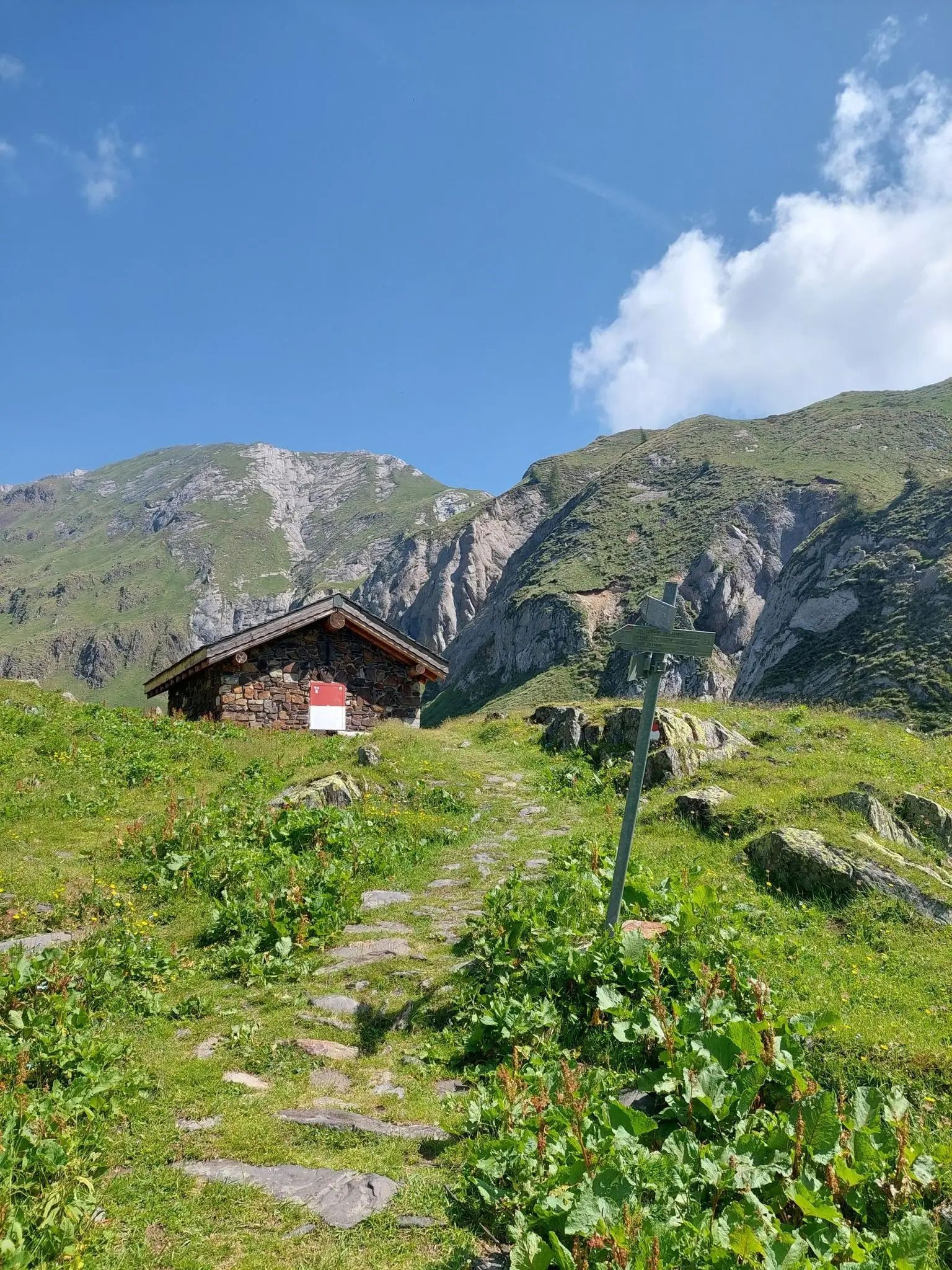
Along the ancient Italian-Austrian border – Alta Via del Caffaro
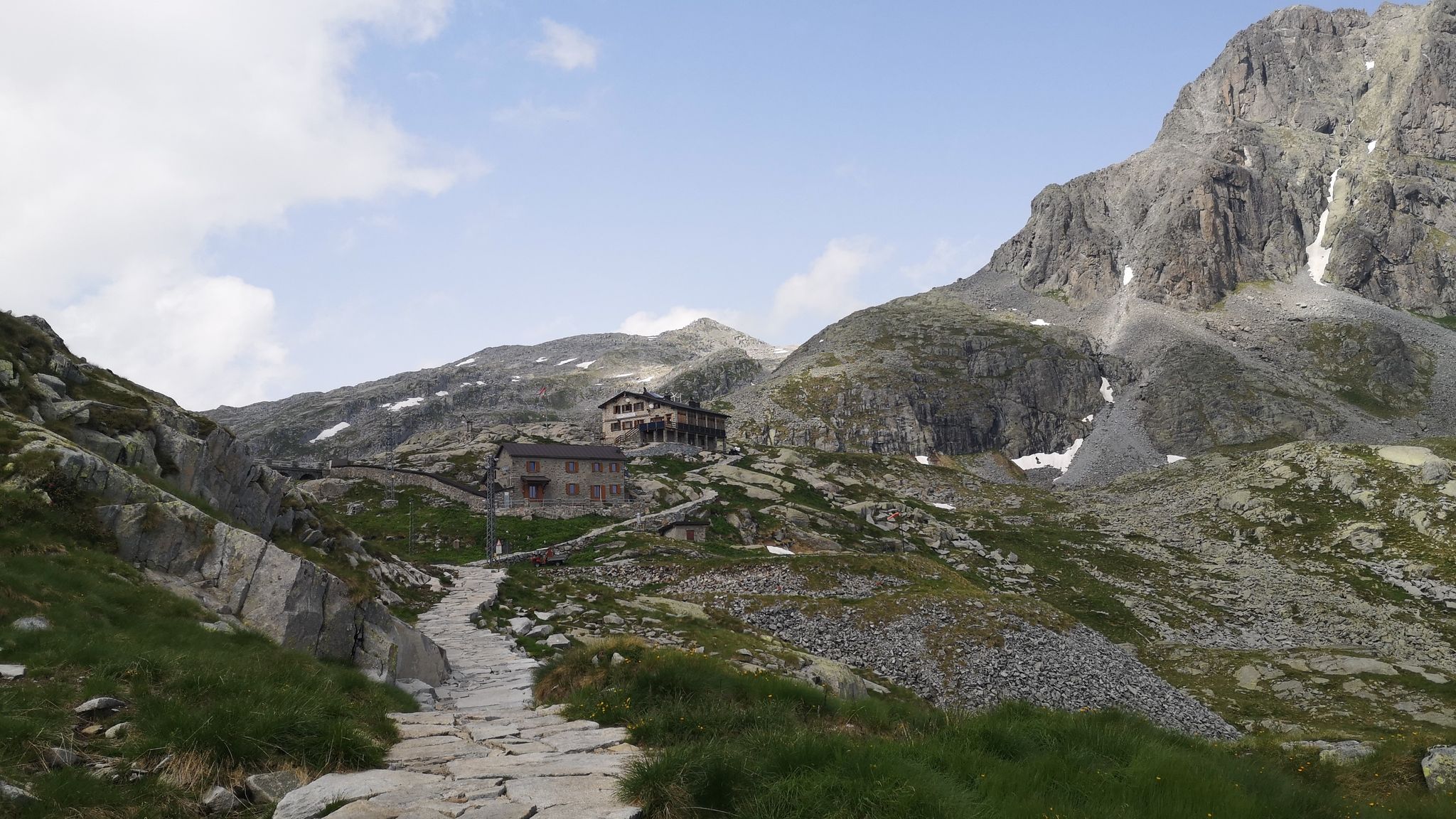
Along Path no. 1 – Alta Via dell'Adamello
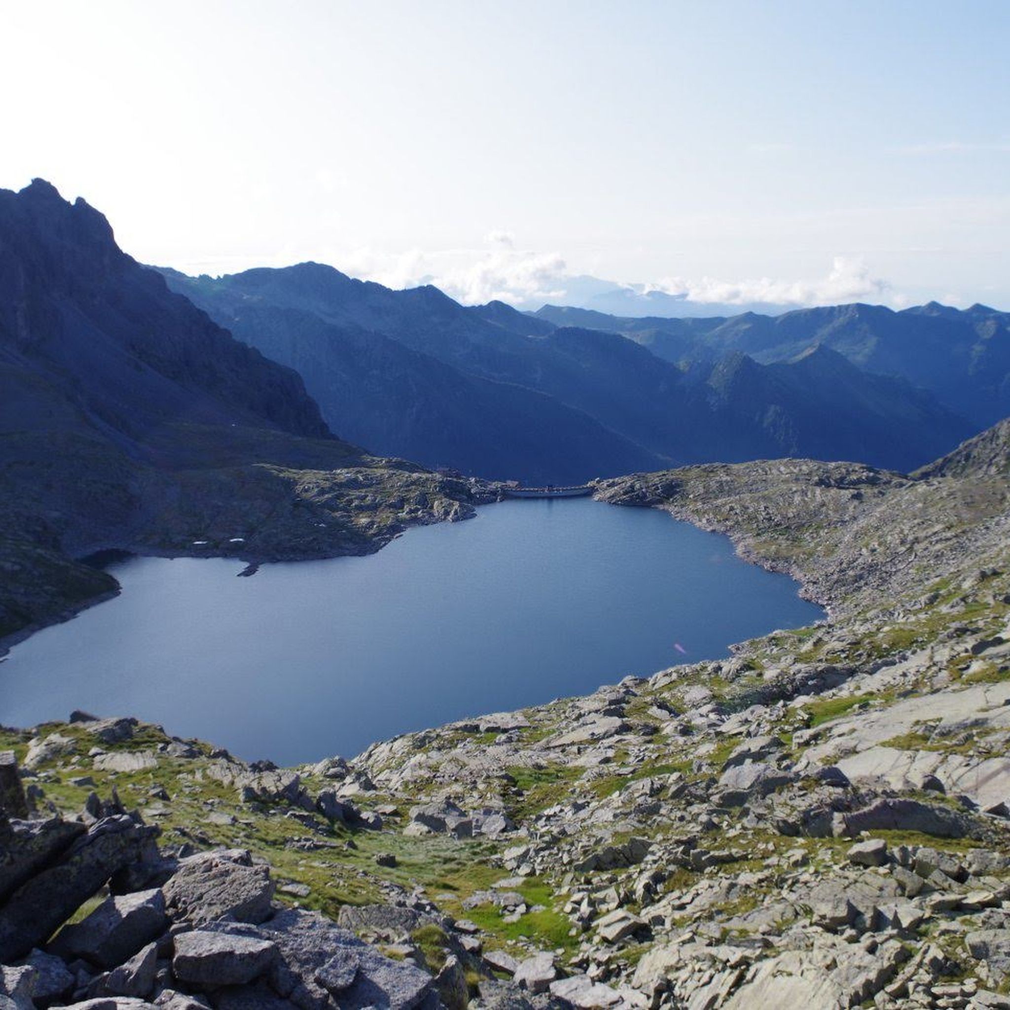
Hiking around Lake della Vacca
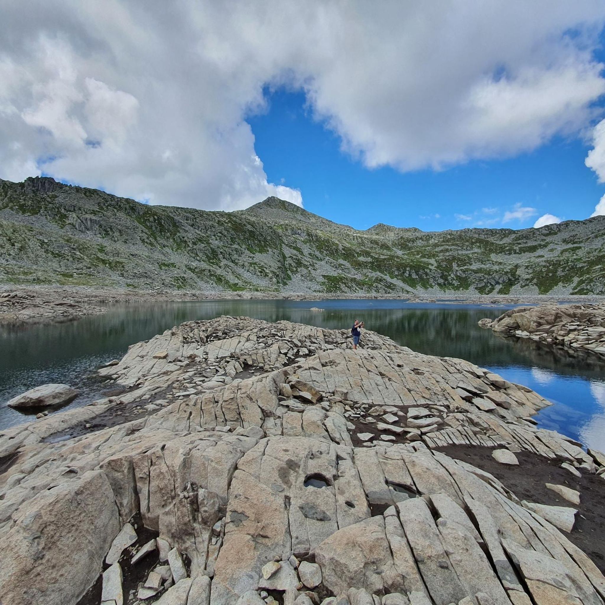
MTB Trails around Lake della Vacca
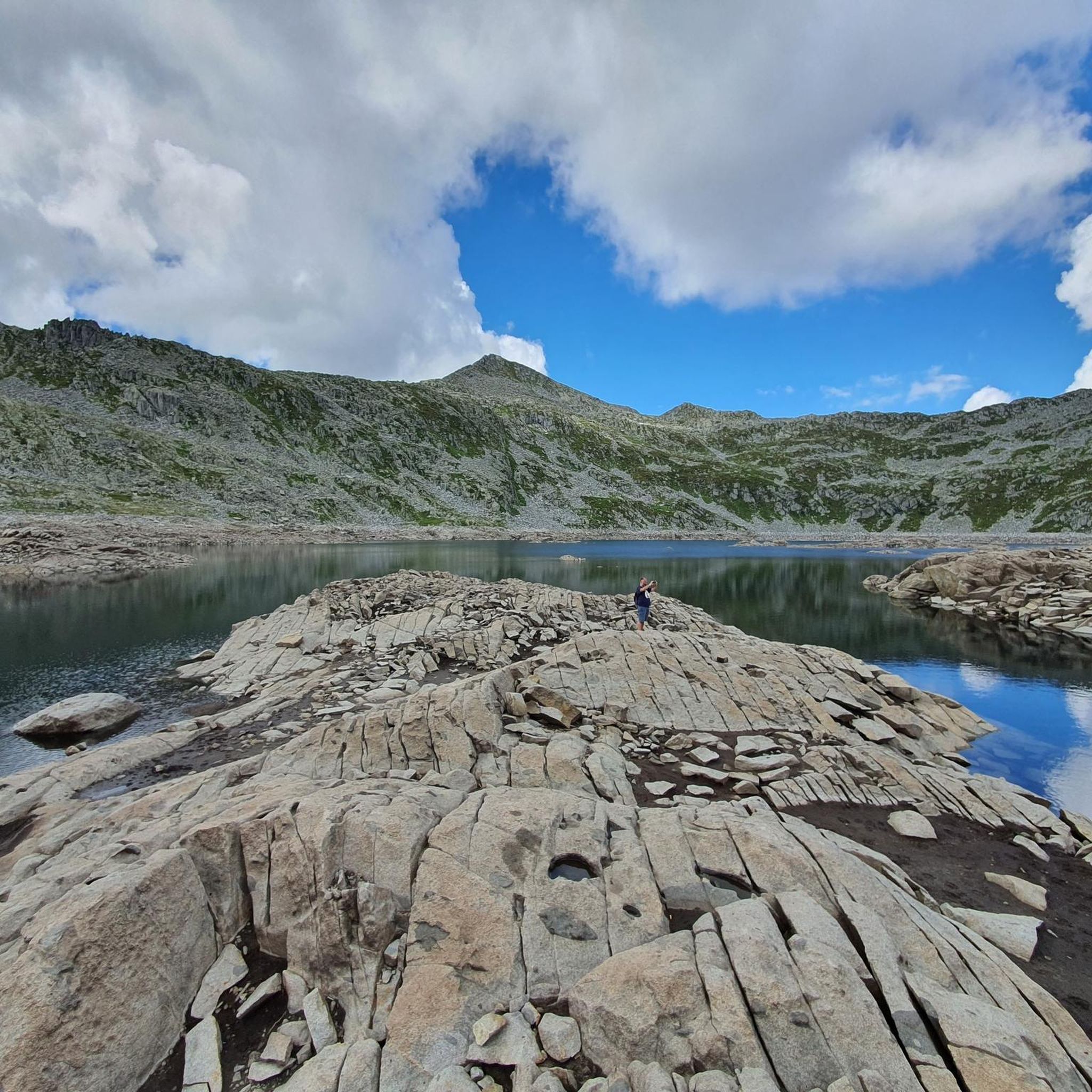
Cycling around Lake della Vacca
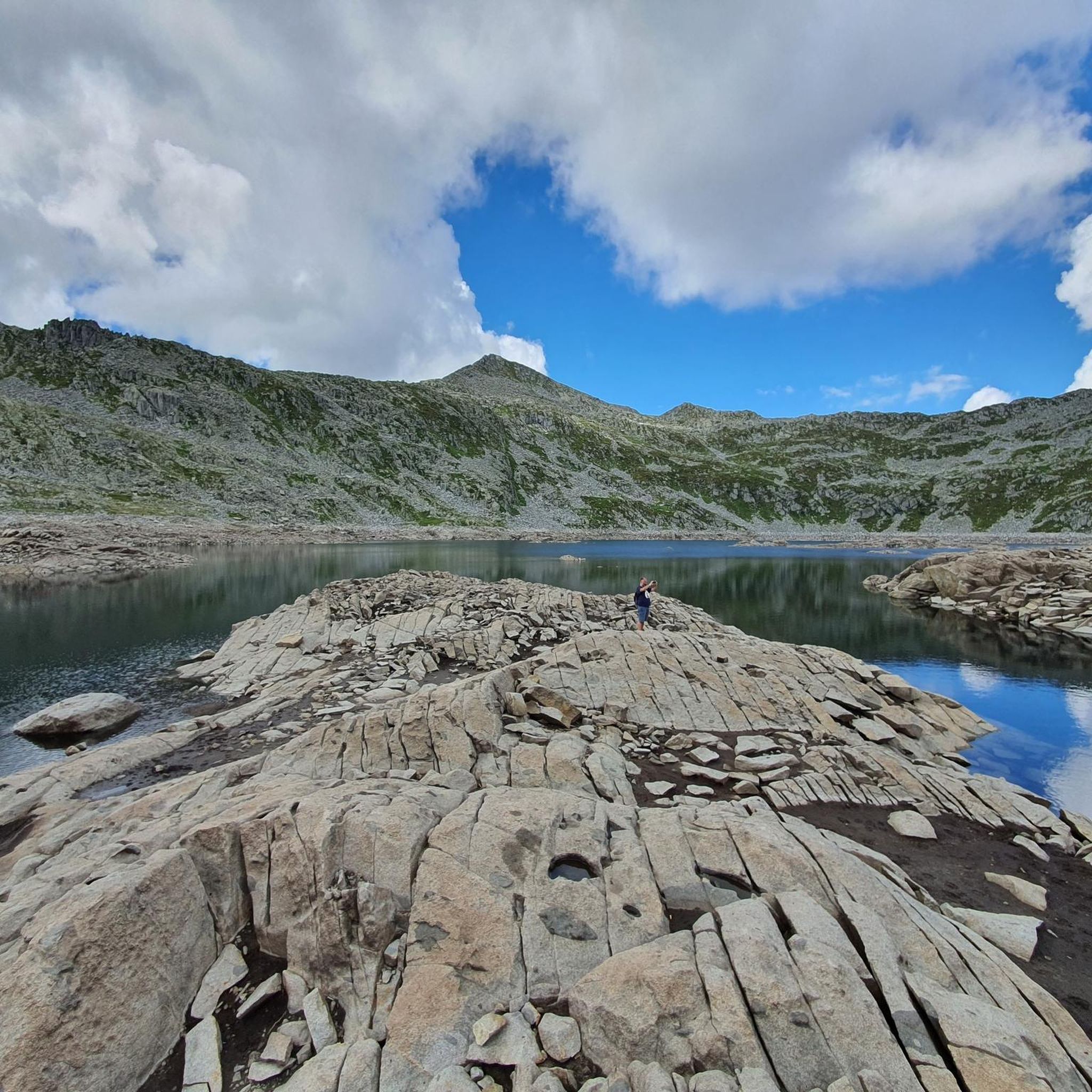
Road Cycling Routes around Lake della Vacca
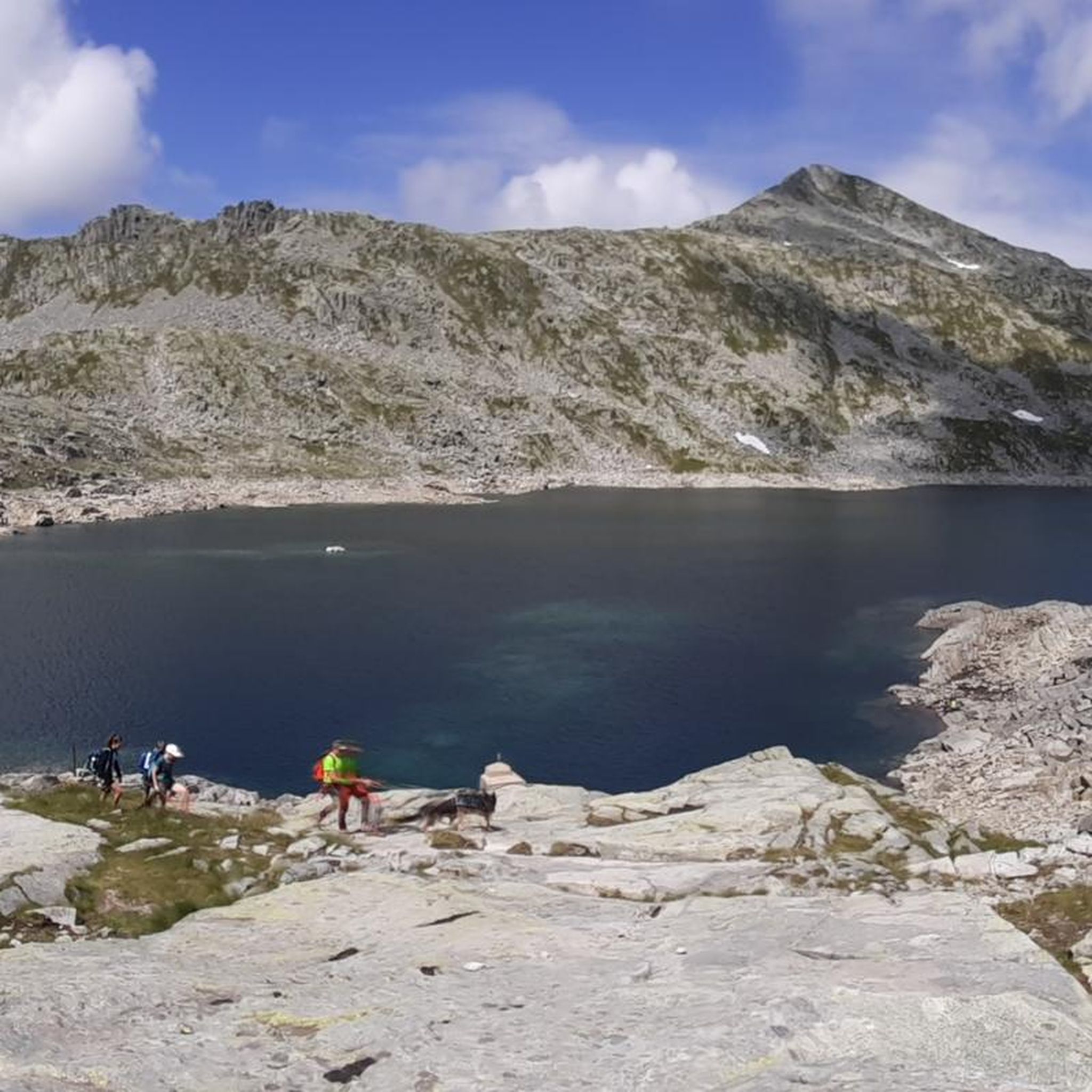
Running Trails around Lake della Vacca

Gravel biking around Lake della Vacca

Tips from the Community

Great refuge even if it's practically on the access road, let's say not exactly typical for hikers
0
0
Wonderful pass in the Adamello Park with a view of the Monte Frerone and Cornone di Blumone complex. The trail to reach it from Rifugio Bazena is simple, with no technical sections.
0
0

The Rifugio C. Tassara (Bazena) is the classic starting point for reaching Val Fredda, Passo della Vacca, Lago della Vacca, and Rifugio Tita Secchi. It is a fundamental reference point for the entire eastern Adamello area.
0
0
The Passo di Val Fredda is one of the most important passes in the Adamello on the route from Bazena to Passo della Vacca and Rifugio Tita Secchi.
0
0

Passo di Val Fredda is an alpine pass located at an altitude of 2,329 meters, on the border between the province of Brescia and that of Trento, in the heart of the Adamello group. This passage connects the Valle di Bazena with the wild Val Fredda, offering one of the most evocative landscapes in the Adamello Park. The trail that crosses it, part of the famous Sentiero n. 1 dell'Alta Via dell'Adamello, winds through spectacular granite outcrops and high-altitude meadows that host rare blooms in summer. A place of great historical importance, it still preserves traces of mule tracks and artifacts dating back to the First World War, testifying to the strategic importance these peaks held during the conflict.
0
0

An easy paved trail, used by the Tita Secchi refuge keeper to transport supplies by quad. Beautiful for an e-MTB.
0
0

difficult path with last part on the crest and steep descent with 3 passage points with very exposed chain
1
1

The refuge, built in the 1930s, is located at the base of the Volano basin, a splendid plateau enclosed like an amphitheater between the Colombè crests, the Badile Camuno peak and the Tredenus peaks.
0
0
Frequently Asked Questions
How many mountaineering routes are available around Lake della Vacca?
There are several challenging mountaineering routes around Lake della Vacca. Our guide features 4 difficult routes, all highly rated by the komoot community, offering extensive high alpine scenery and rugged mountain terrain.
What kind of terrain can I expect on mountaineering routes near Lake della Vacca?
The terrain around Lake della Vacca is characterized by a high alpine environment and glacial formations. You can expect rugged mountains with peaks often exceeding 2,500 meters, providing a challenging setting for mountaineering. Routes often involve high mountain passes and can include World War I mule tracks and chain-assisted passages.
Are there any multi-day mountaineering options in the Lake della Vacca area?
Yes, the region is part of the extensive trail network, including sections of the Alta Via dell'Adamello. This prominent and difficult multi-day trek connects mountain refuges like Rifugio Tita Secchi and Rifugio Maria e Franco, offering longer adventures for experienced mountaineers.
What is the best time of year for mountaineering around Lake della Vacca?
Given its high alpine environment and glacial features, the best time for mountaineering around Lake della Vacca is typically during the summer months, from late June to early September, when snow has largely melted and weather conditions are more stable. Always check local weather forecasts and trail conditions before heading out.
Are there any notable landmarks or natural features to look out for on mountaineering routes around Lake della Vacca?
Absolutely. Besides the artificial Lake della Vacca itself, a distinctive natural attraction near Passo della Vacca is a rock formation said to resemble a large bovine, which is believed to be the origin of the lake's name. You'll also encounter prominent peaks like Cornone di Blumone and Monte Frerone, offering dramatic backdrops.
Where can I find accommodation or services along the mountaineering routes?
The Rifugio Tita Secchi is a significant mountain hut located near Lake della Vacca. It serves as a common starting or ending point for several routes and provides accommodation and services for trekkers. Other refuges like Rifugio Maria e Franco are also part of the wider trail network.
Are there specific viewpoints offering panoramic views of Lake della Vacca?
Many routes in the area offer stunning views. For instance, the Blumone Bivouac – Lago della Vacca loop from Locanda Gaver provides extensive high alpine scenery around the lake. The area's rugged mountains and high passes naturally offer numerous vantage points for panoramic views of the glacial basin and surrounding peaks.
Is there parking available for mountaineers near Lake della Vacca?
While specific parking areas are not detailed, many routes, such as those starting from Passo di Crocedomini or Locanda Gaver, imply access points where parking would typically be available for mountaineers. It is advisable to check local regulations and availability for specific starting points.
Can I reach Lake della Vacca by public transport?
Access to such high alpine regions by public transport can be limited. While the lake is reachable on foot or by mountain bike via trails, direct public transport options to the immediate vicinity of Lake della Vacca or specific trailheads might be scarce. It's recommended to research local bus services to nearby towns and plan for a final approach on foot or by private vehicle.
Are there any circular mountaineering routes around Lake della Vacca?
Yes, there are several circular routes available. For example, the Blumone Bivouac – Lago della Vacca loop from Locanda Gaver is a challenging 9.3-mile (15.0 km) circular route. Another option is the Monte Frerone – Corna Bianca loop from Passo di Crocedomini, which is 7.5 miles (12.1 km).
What do other mountaineers enjoy most about mountaineering in Lake della Vacca?
The area is highly rated by the komoot community, with an average score of 4.0 stars. Mountaineers often praise the challenging high alpine terrain, the dramatic glacial formations, and the stunning views of peaks exceeding 2,500 meters. The sense of adventure and the rugged beauty of the Adamello mountain range are frequently highlighted.
Are there any family-friendly mountaineering options around Lake della Vacca?
The mountaineering routes around Lake della Vacca are generally considered difficult due to the high alpine environment, rugged terrain, and significant elevation changes. While some shorter hikes might exist in the broader region, the routes specifically highlighted for mountaineering are best suited for experienced individuals or families with extensive alpine experience and appropriate gear.
Are dogs allowed on mountaineering trails around Lake della Vacca?
While many trails in Italy's natural parks allow dogs, specific regulations can vary. Given the high alpine environment and potential for wildlife, it's always best to keep dogs on a leash. Check with local park authorities or refuges like Rifugio Tita Secchi for the most current rules regarding dogs on specific mountaineering routes in the Lake della Vacca area.
Most popular routes around Lake della Vacca

Get inspired with the komoot mobile app


Explore more
Browse the best Mountain Hikes & Routes in other regions.
