The best walks and hikes in the Colorado Delta
4.0
(4)
32
hikers
10
hikes
Hiking in the Colorado Delta region, particularly around Delta, Colorado, features diverse landscapes ranging from deep canyons to expansive mesas and lush forests. Significant elevation changes characterize the area, with geological formations including the dramatic Black Canyon of the Gunnison, the flat-topped Grand Mesa, and red-rock canyons of the Dominguez-Escalante National Conservation Area. The Gunnison River carves through the landscape, creating varied terrain for outdoor activities.
Best hiking trails in the Colorado Delta
- The most popular hiking route is Sugarloaf…
Last updated: July 7, 2026
1
hikers
7.93km
02:14
110m
100m
Tackle the difficult 4.9-mile Sugarloaf Mountain Loop, gaining 350 feet to the summit in about 2 hours and 14 minutes.
1.25km
00:29
140m
0m
The Pilot Knob Mesa Trail, also known as Avi Kwalal, offers a unique desert hiking experience, packing 461 feet (140 metres) of elevation gain into just 0.8 miles (1.2 km).…

Sign up for free
4.0
(2)
11
hikers
4.23km
01:04
10m
10m
The Charles Flynn Riverfront Trail offers a serene escape into one of the desert Southwest's most impressive wetlands restoration areas. As you walk, you'll enjoy pleasant riverfront views, passing by…
4.0
(2)
8
hikers
5.39km
01:22
10m
10m
The East Wetlands Interpretive Trail loop offers a serene escape into a vibrant desert ecosystem, showcasing the remarkable transformation of a restoration area. As you walk the mostly flat path,…
2
hikers
12.9km
03:29
170m
170m
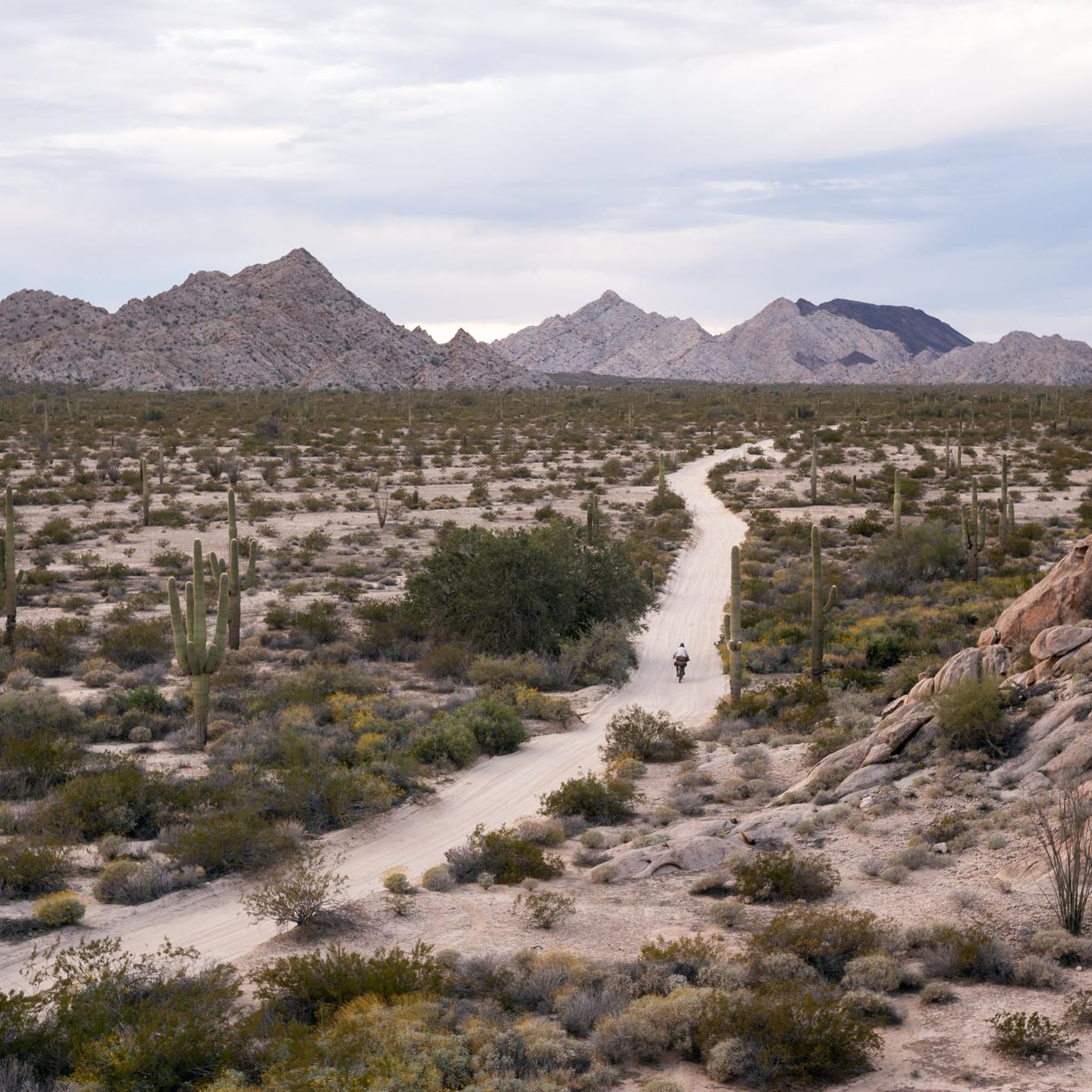
Hike the 8.0-mile Marty's Ridge loop in Arizona's rugged Laguna Mountains, featuring desert views and the Champagne Overlook.
Get access to more routes and recommendations from other explorers.
Sign up for free
Already have an account?
Our route recommendations are based on thousands of hikes, rides, and runs completed by other people on komoot.
Start today with a free account
Your next adventure awaits.
Login or Signup
Popular around Colorado Delta
Tips from the Community

West Wetlands Park in Yuma, Arizona, is a 110-acre park situated along the Colorado River near downtown Yuma. The park features two sections: the Upper Bench, with a lake and picnic areas, and the Lower Bench, which boasts native vegetation and two sandy beaches: Centennial Beach and Playa Linda. Visitors can enjoy fishing, boating, hiking trails, and a hummingbird garden. There is also the the Stewart Vincent Wolfe Creative Playground for children. The Yuma Crossing Bike Path (Colorado River Levee Multi-Use Path) also starts near this park, making West Wetlands Park a great place to start or end a ride.
0
0

Don’t let the name fool you—this isn’t a sidewalk, but a singletrack trail that takes you along Marty’s Ridge. Be sure to come prepared with proper footwear and plenty of water, as this section can be challenging.
1
0
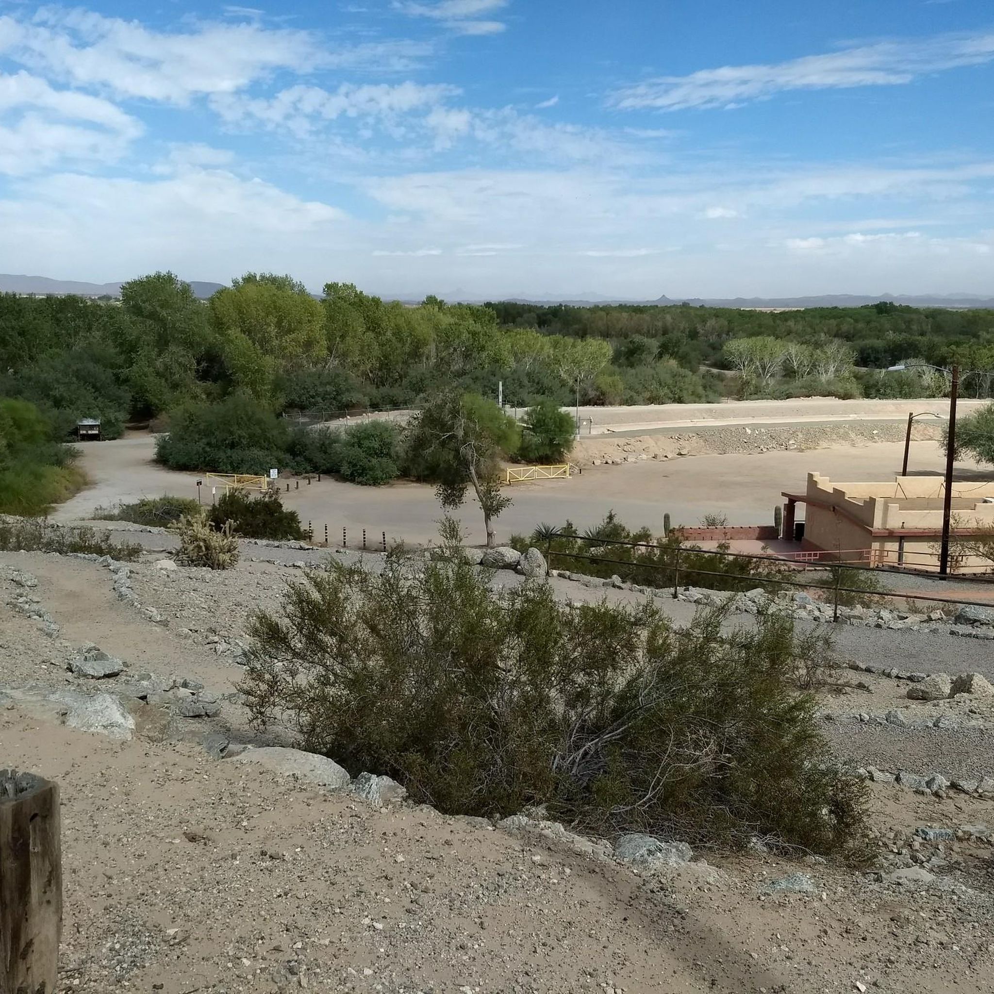
This is the highest point in the area, offering stunning panoramic views of the Laguna Mountain area and the Arizona-California border. Since there's not much shade, be sure to bring water and a hat.
0
0
In January 1847, the Mormon Battalion arrived at and crossed the Colorado River near this point. Comprising more than 500 volunteer soldiers from the Mormon Pioneers, the battalion served in the United States Army during the war with Mexico.
0
0
This pond is a very popular fishing spot, and you'll regularly see many people fishing here. A nice trail encircles the pond, and a nearby park with several amenities makes it a must-see on your hike.
0
0
Playa Linda, meaning "beautiful beach" in Spanish, is a charming sandy area that feels like a hidden beach in the middle of the forest. This sandy spot leads to the Colorado River, making it a great place to take a break in the park.
0
0
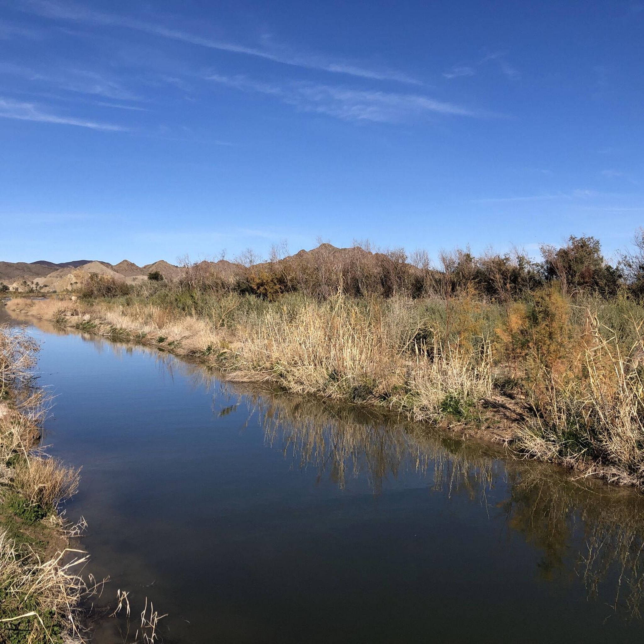
This trail takes you along the Colorado River, the fifth largest in the United States, and then through a beautiful wetlands area. You'll have the chance to see a variety of wildlife, including birds, rabbits, owls, ducks, and cranes.
0
0
The Colorado River stretches over 1,400 miles, making it the fifth largest in the United States. In Yuma, this river provides year-round recreational fun, including boating, kayaking, and paddleboarding. From this point, you can enjoy a beautiful view of the river and even cool your feet in the water.
0
0
Frequently Asked Questions
What does "Colorado Delta" refer to in the context of hiking?
When discussing hiking, the "Colorado Delta" refers to the region in and around Delta, Colorado. This area is distinct from the broader Colorado River Delta in Mexico and is renowned for its diverse landscapes, including deep canyons, expansive mesas, and lush forests. Key features include the dramatic Black Canyon of the Gunnison, the flat-topped Grand Mesa, and the red-rock canyons of the Dominguez-Escalante National Conservation Area.
How many hiking trails are available in the Colorado Delta region?
The Colorado Delta region offers 10 distinct hiking routes. These trails cater to various preferences, ranging from easy walks to more challenging ascents through diverse terrain.
Are there hiking trails for all skill levels in the Colorado Delta?
Yes, the Colorado Delta provides hiking trails suitable for all skill levels. You'll find 7 easy routes, 2 moderate paths, and 1 difficult trail. For an easy option, consider the Pilot Knob Mesa Trail. If you're looking for a more challenging experience, the Sugarloaf Mountain Loop is a difficult route with significant elevation gain.
What are some family-friendly hiking options in the Colorado Delta?
For families, the Colorado Delta offers several accessible and enjoyable trails. The Charles Flynn Riverfront Trail is an easy, paved path perfect for a leisurely stroll. Another great option is the East Wetlands Interpretive Trail loop, which is also easy and offers opportunities for nature observation.
Are there any circular hiking routes in the Colorado Delta?
Yes, the region features several circular routes for hikers who prefer to start and end in the same location. The East Wetlands Interpretive Trail loop is an easy option, while the Marty's Ridge loop offers a moderate challenge with expansive views.
What can I see along the hiking trails in the Colorado Delta?
Hiking in the Colorado Delta allows you to explore a variety of natural and historical attractions. You can discover historical sites like the Yuma Territorial Prison State Historic Park and the Colorado River State Historic Park. For nature lovers, the Yuma East Wetlands and West Wetlands Park offer opportunities for birdwatching and enjoying riparian habitats.
What do other hikers enjoy most about the Colorado Delta trails?
The hiking routes in the Colorado Delta are highly rated by the komoot community, with an average score of 4.0 stars. Hikers frequently praise the diverse terrain, from riverfront paths to mesa trails, and the opportunities to experience the region's unique natural beauty.
Are there any specific natural features or landmarks to look out for?
Absolutely. The region is defined by its dramatic geological formations. You can expect to see the sheer cliffs of the Black Canyon of the Gunnison, the vast expanse of the Grand Mesa (the world's largest flat-topped mountain), and the striking red-rock canyons of the Dominguez-Escalante National Conservation Area. The Gunnison River itself is a prominent natural feature, carving through the landscape.
What is the best time of year for hiking in the Colorado Delta?
The Colorado Delta region offers hiking opportunities throughout much of the year, but spring and fall generally provide the most comfortable temperatures for exploring the canyons and mesas. Summers can be hot, especially in lower elevations, while higher areas like Grand Mesa offer cooler conditions. Winter hiking is possible, particularly on lower elevation trails, but can involve snow and ice at higher altitudes.
Do I need permits for hiking in the Colorado Delta?
Most general hiking trails in the Colorado Delta region do not require specific permits for day use. However, if you plan to hike in designated wilderness areas, national parks like Black Canyon of the Gunnison, or engage in specific activities like backcountry camping, it's advisable to check with the relevant land management agency (e.g., National Park Service, Bureau of Land Management) for any required permits or fees.
Are there opportunities for wildlife viewing while hiking?
Yes, the diverse ecosystems of the Colorado Delta provide excellent opportunities for wildlife viewing. Hikers might spot various bird species, especially in wetland areas like Sweitzer Lake State Park or the Yuma East Wetlands. Larger mammals can also be seen, particularly in more remote areas of the national conservation areas and forests.
Most popular routes in the Colorado Delta
Most popular attractions in the Colorado Delta

Get inspired with the komoot mobile app


