The best mountain hikes around St Jakob im Walde
5.0
(4)
92
hikers
6
hikes
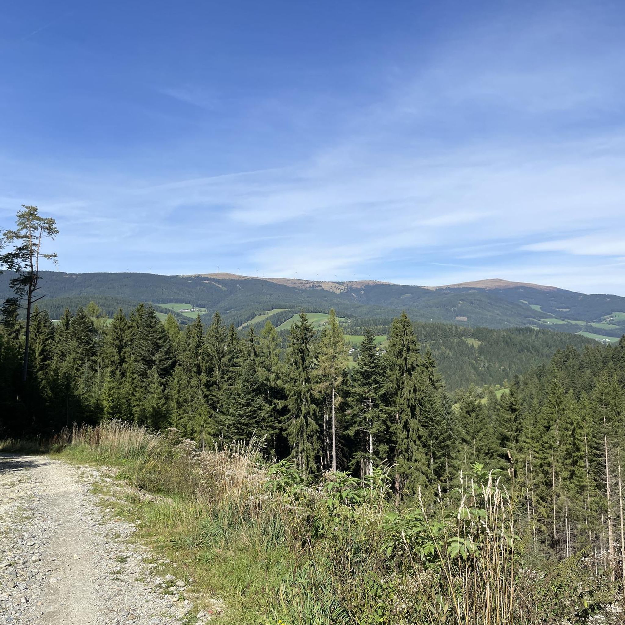
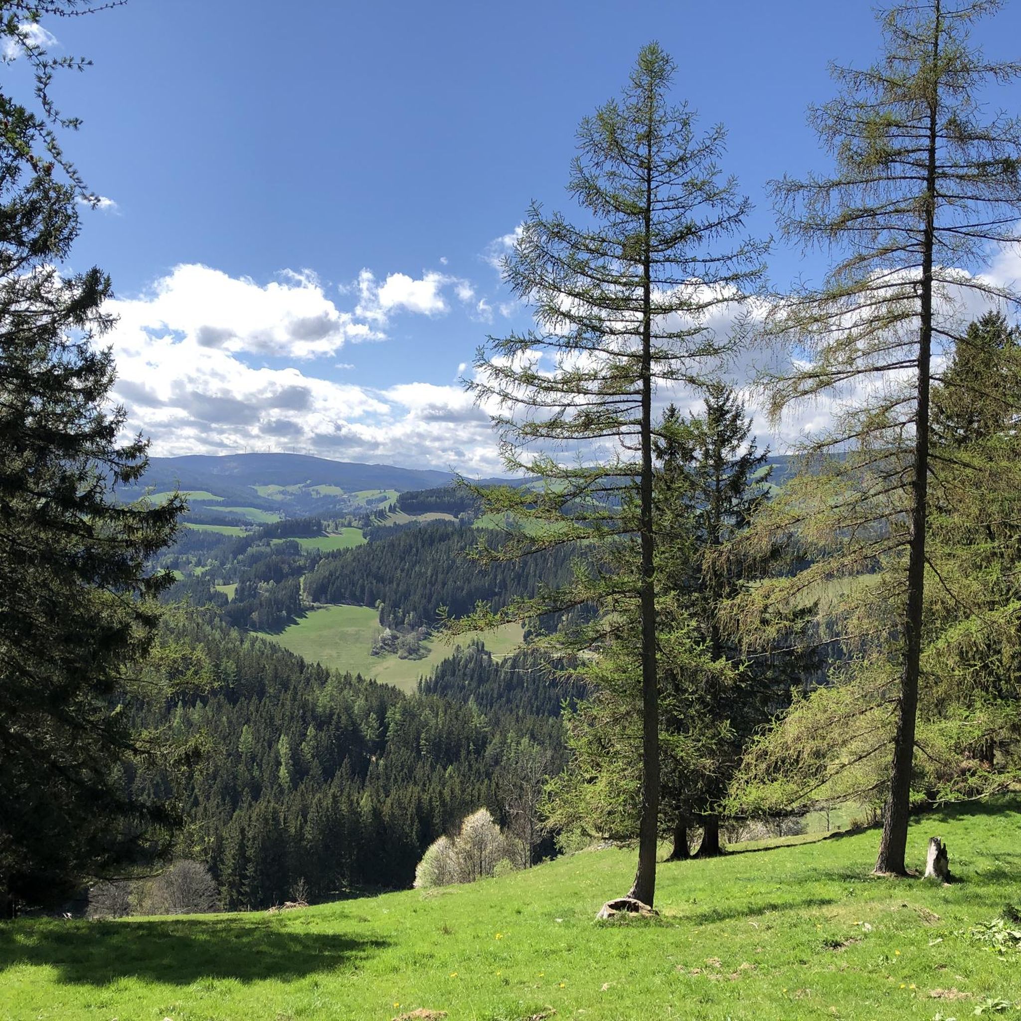
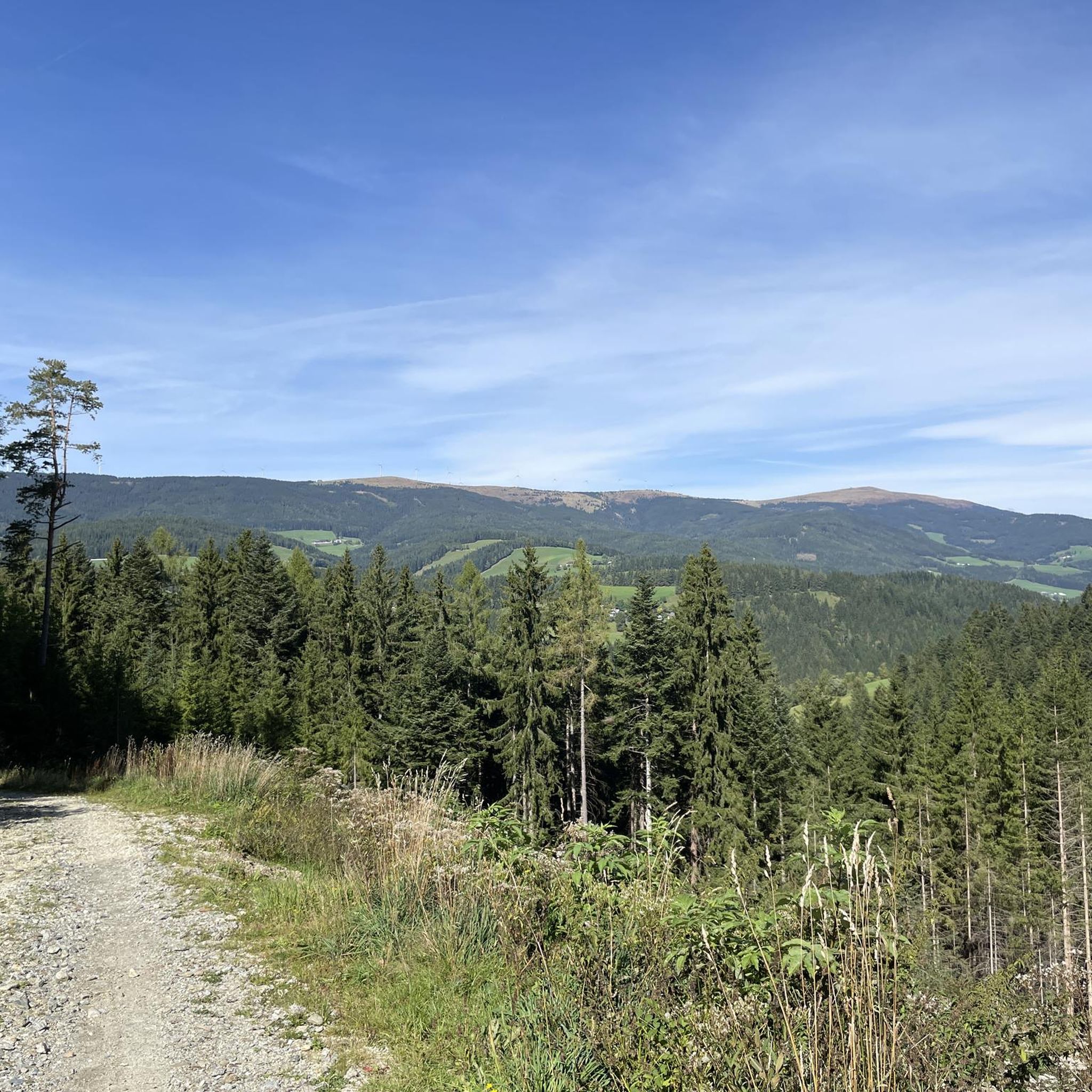
Mountaineering routes around St Jakob im Walde are situated in the Joglland-Waldheimat region of Styria, Austria, characterized by hilly terrain, dense forests, and lush meadows. The area features several peaks exceeding 1,000 meters, including Blasenkogel (1313 m) and Arzberg (1111 m), providing varied ascents. The landscape offers a mix of undulating hills and forested slopes, suitable for mountain exploration.
Best mountaineering routes around St Jakob im Walde
- The most popular mountaineering route is Pfaffensattel Pass Parking – Alois-Günther-Haus loop from Pfaffensattel, a 10.9 miles (17.6 km) trail that takes 6 hours 41 minutes to complete. This difficult route features significant elevation gain through forested terrain.
- Another top favourite among local mountaineers is Trail Sign at Hochwechsel – Hochwechsel Trail Sign loop from Waldbach-Mönichwald, a moderate 7.9 miles (12.7 km) path. This route offers views of the surrounding Styrian landscape.
- Local mountaineers also love the Zellerkreuz Wayside Cross – Teufelstein Hut loop from Fischbach, a 5.7 miles (9.2 km) trail leading through varied forest and open areas, often completed in about 3 hours 1 minute.
- Mountaineering around St Jakob im Walde is defined by undulating hills, dense forests, and ascents to peaks over 1,000 meters. The network offers options for different ability levels, from easy paths to more challenging climbs.
- The routes in St. Jakob im Walde are highly rated by the komoot community with an average score of 5.0 stars from over 3 reviews. More than 100 mountaineers have used komoot to explore St. Jakob im Walde's varied terrain.
Last updated: October 15, 2026
36
hikers
17.7km
06:43
1,200m
1,200m
Hard mountaineering route. Very good fitness required. Mostly accessible paths. Sure-footedness required.
5.0
(2)
21
hikers
7.61km
02:48
460m
460m
Moderate mountaineering route. Good fitness required. Mostly accessible paths. Sure-footedness required.

7
hikers
9.18km
03:02
440m
430m
Moderate mountaineering route. Good fitness required. Mostly accessible paths. Sure-footedness required.
5.0
(1)
11
hikers
5.31km
01:44
250m
250m
Easy mountaineering route. Great for any fitness level. Easily-accessible paths. Suitable for all skill levels.
5.0
(1)
8
hikers
Moderate mountaineering route. Good fitness required. Easily-accessible paths. Suitable for all skill levels.
Our route recommendations are based on thousands of hikes, rides, and runs completed by other people on komoot.
Start today with a free account
Your next adventure awaits.
Popular around St. Jakob im Walde
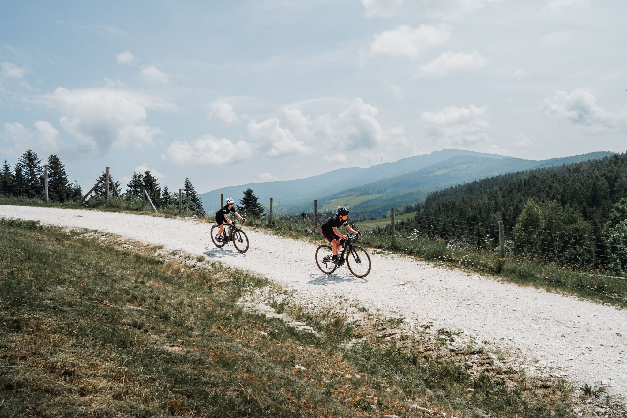
Gravel Challenge - Der große Jogl
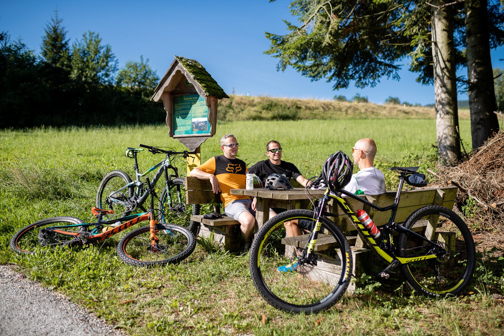
Der große Jogl - Die Radstrecke durch die Region Joglland-Waldheimat
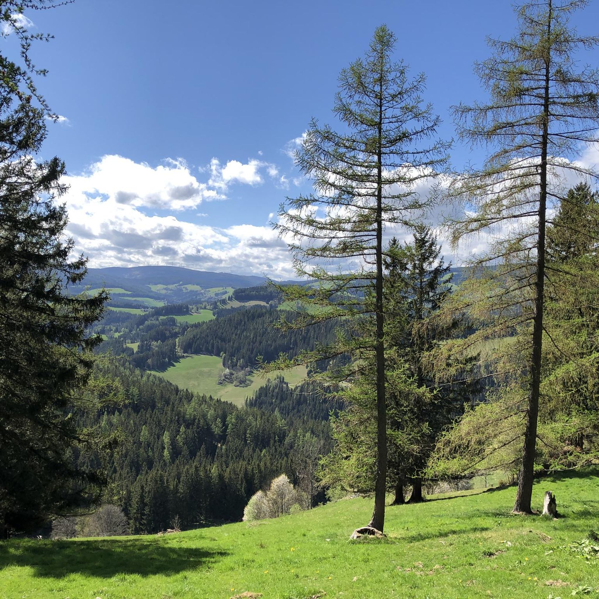
Hiking around St Jakob im Walde
Road Cycling Routes around St Jakob im Walde
Cycling around St Jakob im Walde
MTB Trails around St Jakob im Walde
Running Trails around St Jakob im Walde

Gravel biking around St Jakob im Walde

Tips from the Community

The border stone on the Grünberg marks a transition between Lower Austria and Styria. It lies directly on the state border and is a small, but interesting landmark along the hiking route. An inconspicuous detail on the path that makes it visible that you are switching from one federal state to another here.
3
0

A highlight you have to do once
3
0

There are several hiking trails leading up from Spittal am Semmering, and from the opposite side, Rettenegg, there is a planetary hiking trail leading up. I believe the least strenuous is the path from Pfaffensattel.
2
0
Many visitors erect their stone sculptures here.
4
0
Beautiful cross at the summit, Alois Günther mountain hut
4
0
It's located right next to the main road.
3
0

Highest point of the Fischbach Alps! Magnificent views of Schneeberg, Rax, Schneeakpe, Veitsch, Hochschwab, Hochwechsel, Sonnwendstein and Hochlantsch.
0
0
Nice place to take a break
3
0
Frequently Asked Questions
How many mountaineering routes are available in St. Jakob im Walde?
There are 7 mountaineering routes around St. Jakob im Walde listed in this guide, offering a range of experiences from easy to difficult. The region itself, part of the Joglland-Waldheimat, features an extensive network of trails.
Are there any easy mountaineering routes suitable for beginners?
Yes, for those looking for an easier introduction to mountaineering, consider the Rest Area with Prayer Cross – Teufelstein Hut loop from Fischbach. This route is 5.3 km long and typically takes around 1 hour 44 minutes to complete, with a manageable elevation gain of about 250 meters.
What are some of the more challenging mountaineering routes in the area?
For a more demanding experience, the Pfaffensattel Pass Parking – Alois-Günther-Haus loop from Pfaffensattel is a difficult route spanning 17.6 km with over 1190 meters of elevation gain, typically requiring over 6 hours to complete. It offers significant ascents through forested terrain.
Are there any circular mountaineering routes in St. Jakob im Walde?
Yes, many of the mountaineering routes in the region are circular. For example, the Trail Sign at Hochwechsel – Hochwechsel Trail Sign loop from Waldbach-Mönichwald is a moderate 12.7 km loop offering views of the Styrian landscape. Another option is the Zellerkreuz Wayside Cross – Teufelstein Hut loop from Fischbach, a 9.2 km route through varied forest and open areas.
What is the best time of year for mountaineering in St. Jakob im Walde?
The region is suitable for outdoor activities throughout the year. For mountaineering, late spring to early autumn (May to October) generally offers the most favorable conditions with pleasant temperatures and less chance of snow at higher elevations. However, winter also provides opportunities for snowshoeing and winter hiking, with some trails equipped for cross-country skiing.
Are there any family-friendly mountaineering options?
While mountaineering routes can be challenging, the broader St. Jakob im Walde area offers many family-friendly hiking trails. For a shorter, less strenuous option that could be suitable for families with older children, the Rest Area with Prayer Cross – Teufelstein Hut loop from Fischbach is an easy route. The region also features 11 themed circular hiking trails catering to all abilities.
What interesting sights or landmarks can I find along the mountaineering routes?
Mountaineering routes in the area often lead to impressive viewpoints and natural features. You might encounter the Chapel and summit cross on the Hochwechsel, the Großer Pfaff summit, or the unique Teufelstein summit and rock formation. The region is also known for the Romai Waterfall and the Europapark.
Are dogs allowed on the mountaineering trails in St. Jakob im Walde?
Generally, dogs are welcome on hiking trails in the St. Jakob im Walde region. It's always advisable to keep dogs on a leash, especially in forested areas, near livestock, or in nature protection zones. Ensure you carry enough water for your dog, as natural water sources might not always be available or safe to drink from.
Where can I find parking for mountaineering trailheads?
Parking facilities are available at various trailheads. For routes like the Pfaffensattel loops, you can find parking at Pfaffensattel Pass. Other popular starting points like the Romai Waterfall, Arzberg Summit Cross, or Europapark also typically have designated parking areas nearby.
Are there any huts or shelters along the mountaineering routes?
Yes, some routes pass by or lead to mountain huts. For instance, the Pfaffensattel Pass Parking – Alois-Günther-Haus loop from Pfaffensattel includes the Alois-Günther-Haus. Another route, the Zellerkreuz Wayside Cross – Teufelstein Hut loop from Fischbach, leads to the Teufelstein Hut. These can be good spots for a break or refreshment.
Do I need a permit for mountaineering in St. Jakob im Walde?
No, generally, you do not need a special permit for mountaineering or hiking on the designated trails in St. Jakob im Walde or the broader Styrian region. Access to nature is usually free. However, always respect private property, follow local regulations, and stay on marked paths.
What is the average rating for mountaineering routes in St. Jakob im Walde?
The mountaineering routes in St. Jakob im Walde are highly regarded by the komoot community, with an average score of 5.0 stars from over 3 reviews. Mountaineers often appreciate the varied terrain, from undulating hills to dense forests, and the ascents to peaks over 1,000 meters.
Most popular routes around St Jakob im Walde
Most popular attractions around St Jakob im Walde

Get inspired with the komoot mobile app


Explore more
Browse the best Mountain Hikes & Routes in other regions.
