The best mountain hikes in Steigerwald
11
hikers
7
hikes
Mountaineering in Steigerwald offers exploration of a diverse low-mountain range in Bavaria, Germany. The region is characterized by "lone mountains" and crests, providing challenging ascents and panoramic views over the Franconian landscape. Extensive beech forests, meadows, and vineyards define the terrain, particularly within the Steigerwald Nature Park. Significant elevations like Zabelstein and Petersberg offer rewarding vistas, making it suitable for those seeking challenging hiking experiences with notable elevation gain.
Best mountaineering routes in Steigerwald
- The most popular mountaineering route is…
Last updated: October 1, 2026
3
hikers
5.69km
01:45
210m
210m
Easy mountaineering route. Great for any fitness level. Easily-accessible paths. Suitable for all skill levels.
1
hikers
5.15km
01:30
130m
130m
Easy mountaineering route. Great for any fitness level. Easily-accessible paths. Suitable for all skill levels.

2
hikers
13.3km
03:31
120m
120m
Moderate mountaineering route. Good fitness required. Easily-accessible paths. Suitable for all skill levels.
2
hikers
Easy mountaineering route. Great for any fitness level. Easily-accessible paths. Suitable for all skill levels.
1
hikers
5.39km
01:38
180m
180m
Easy mountaineering route. Great for any fitness level. Easily-accessible paths. Suitable for all skill levels.
1
hikers
Easy mountaineering route. Great for any fitness level. Easily-accessible paths. Suitable for all skill levels.
1
hikers
14.9km
04:00
190m
190m
Moderate mountaineering route. Good fitness required. Easily-accessible paths. Suitable for all skill levels.
Our route recommendations are based on thousands of hikes, rides, and runs completed by other people on komoot.
Start today with a free account
Your next adventure awaits.
Popular around Steigerwald

Steigerwald panorama trail — 9 days
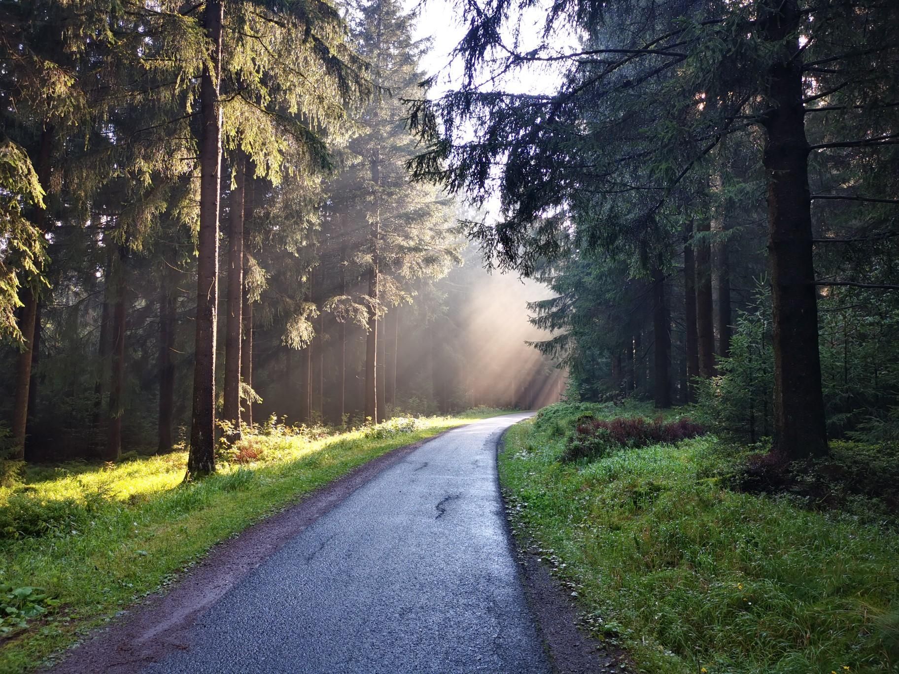
Nuremberg to Erfurt – Discover the German countryside by bike

The National Natural Landscapes in Bavaria
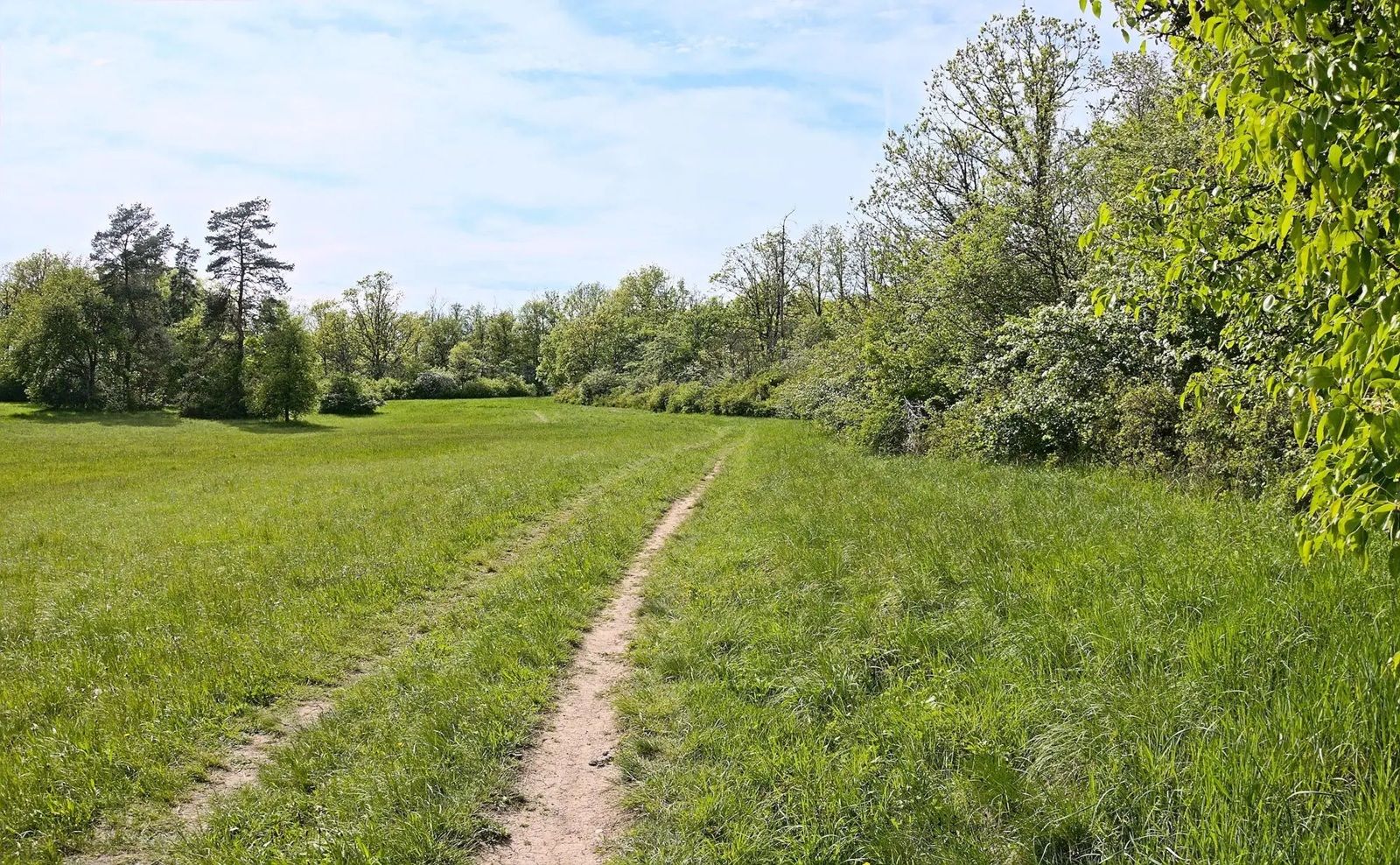
Gravel meets rail – gravel rides in the greater Nuremberg area
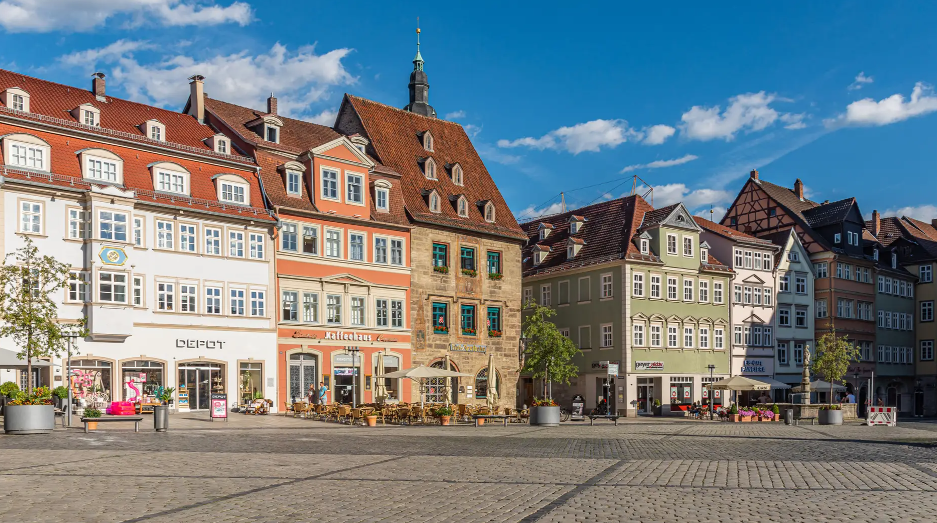
From the metropolis to enjoyment – city hiking on the VGN

Nature, the outdoors and adventure – hiking through the VGN's nature parks
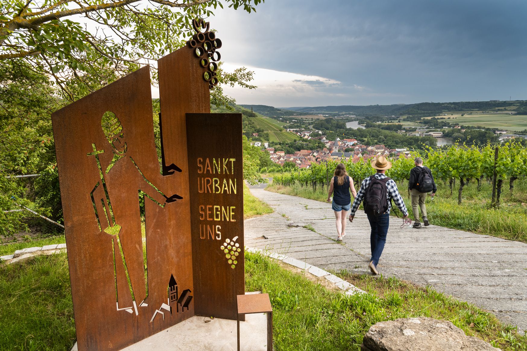
Hiking and culinary delights – walks in the Franconia wine region

Hiking through Bavaria's cultural landscapes

#GoFurther – discover the views of Germany!
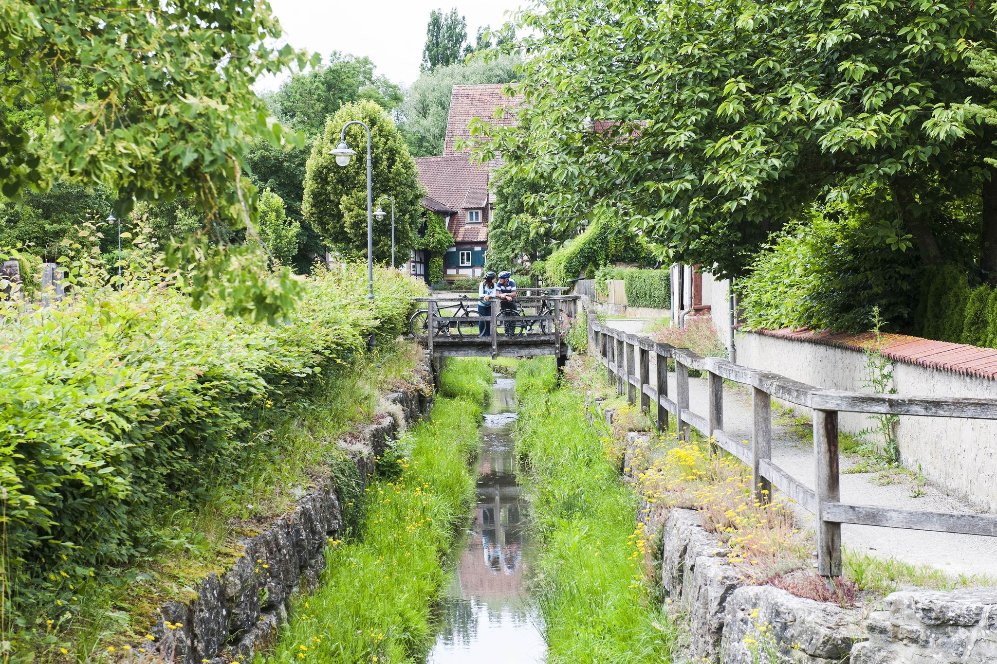
Fun, nature and culture – discover Franconia by bike
Other adventures in Steigerwald


Tips from the Community

North of Bad Windsheim, you'll find two wooden ball tracks at the "Gräfweiher" that encourage both young and old visitors to play. On the two approximately 100-meter-long tracks, the wooden balls roll past small wooden houses and a miniature of the Bad Windsheim town hall, navigating curves and obstacles. The matching wooden balls can be easily obtained from a "gumball machine" for 50 cents. And the best part: the proceeds go to the forest kindergarten "Wichtelglück".
0
0

A short but lovely circular hike to the Veitenstein. From up there you can enjoy a fantastic view.
0
0

From the "Forsthaus" inn, you have a beautiful view over the Great Bishop's Pond (Dechsendorfer Weiher), and in good weather, you can even enjoy a beautiful sunset over the pond. In summer, the "Forsthaus" hosts wonderful events on Thursdays with live music and, for example, "barbecue, all you can eat," etc.
1
0

Cycling along the roads and paths along the Aurach is recommended.
0
0

Listed late medieval stone crosses https://de.wikipedia.org/wiki/Liste_der_Steinkreuze_im_Landkreis_Neustadt_an_der_Aisch-Bad_Windsheim
0
0

Fascinating rock formations at the Franconian landmark Walberla.
1
0

In my opinion the best path Connection Leutenbach and St. Moritz - mostly hidden in the woods with a few nice views on the Leutenbach valley and beyond
0
0

The church in Lußberg is dedicated to Saint Giles.
8
0
Frequently Asked Questions
How many mountaineering routes are available in Steigerwald?
There are 8 mountaineering routes currently available in Steigerwald, offering a range of experiences from easy strolls to more challenging ascents. These routes are designed to showcase the diverse landscapes of the region, including its distinctive "lone mountains" and extensive forests.
What are the difficulty levels of mountaineering routes in Steigerwald?
Steigerwald offers a variety of routes catering to different skill levels. You'll find 5 easy routes, 2 moderate routes, and 1 difficult route. This ensures that both beginners and experienced mountaineers can find a suitable challenge.
Are there any family-friendly mountaineering routes in Steigerwald?
Yes, several routes are suitable for families. For an easy and engaging experience, consider the Twin rock formation at Walberla – Cave at the Steinerne Frau loop from Leutenbach, which features distinctive rock formations and natural caves. Another great option is the Großer Bischofsweiher loop from Dechsendorf, which is also easy and offers pleasant scenery around a pond.
What kind of natural features can I expect to see on the mountaineering routes?
Steigerwald is characterized by diverse natural features. You'll encounter vast beech forests, particularly between the Zabelstein Mountains and Ebrach, as well as meadows and vineyards. Many routes lead past small ponds, which are rich in biodiversity, and some feature unique rock formations like those on the Veitenstein Rock Formation – View from Veitenstein loop from Ebelsbach (VGem).
Are there routes with panoramic viewpoints in Steigerwald?
Absolutely. The region is known for its rewarding vistas from its prominent elevations. The Moritz Spring – Kapuzinerfelsen Viewpoint loop from Leutenbach leads to a notable viewpoint. For expansive views, routes around Petersberg offer vistas over the Aisch valley and parts of Franconian Switzerland, while Zabelstein provides views extending to the Schweinfurt basin and even the Rhön mountains on clear days.
What are some interesting landmarks or attractions along the mountaineering routes?
Beyond the natural beauty, Steigerwald offers several points of interest. You might encounter historical sites like the Stollburg Ruins or the Hoheneck Castle. The Gräfweiher – Former gypsum quarry Kühlsheim loop from Bad Windsheim takes you through varied landscapes including a former quarry, offering a glimpse into the region's industrial past.
Are there any circular mountaineering routes in Steigerwald?
Yes, many of the mountaineering routes in Steigerwald are designed as loops, allowing you to start and end at the same point. Examples include the Altschauerberg Ruins – Schauerberger Mühle loop from Emskirchen and the View from Friesener Warte – Friesener Warte Trails loop from Friesen, both offering comprehensive explorations of their respective areas.
What is the best time of year for mountaineering in Steigerwald?
The Steigerwald region is enjoyable throughout much of the year. Spring and autumn offer pleasant temperatures and vibrant scenery, with blooming forests or colorful foliage. Summer provides longer daylight hours, though some areas can be warm. Winter can be beautiful for hiking, especially after snowfall, but conditions may require appropriate gear and caution.
Are dogs allowed on the mountaineering trails in Steigerwald?
Generally, dogs are welcome on trails in the Steigerwald Nature Park, provided they are kept on a leash, especially in nature protection areas or near wildlife. It's always a good idea to check specific local regulations for each route or protected area you plan to visit to ensure a pleasant experience for both you and your dog.
What can I expect regarding parking facilities near the trailheads?
While specific parking details vary by trailhead, many popular starting points for mountaineering routes in Steigerwald, especially those near villages or attractions, offer designated parking areas. It's advisable to check the route details on komoot for information on parking availability at the specific starting point of your chosen tour.
Can I reach the mountaineering areas using public transport?
Public transport options exist for reaching some areas within Steigerwald, though access might be more limited for remote trailheads. Larger towns like Bad Windsheim, which is a starting point for routes like the Gräfweiher – Former gypsum quarry Kühlsheim loop, are generally well-connected. For more specific information, it's recommended to consult local public transport schedules for the region.
Are there any places to eat or drink near the mountaineering trails?
Yes, you'll find various options for refreshments, especially in the villages and towns bordering or within the Steigerwald Nature Park. Many routes pass through or near communities where you can find cafes, pubs, and restaurants. For example, near Zabelstein, you can find places like the Bauken Herz Hut at Zabelstein or the Frey am Zabelstein Kiosk and Pavilion.
Most popular routes in Steigerwald
Most popular attractions in Steigerwald

Get inspired with the komoot mobile app


Explore more
Browse the best Mountain Hikes & Routes in other regions.
