The best walks and hikes around Karlskron
4.5
(2348)
15,411
hikers
21
hikes
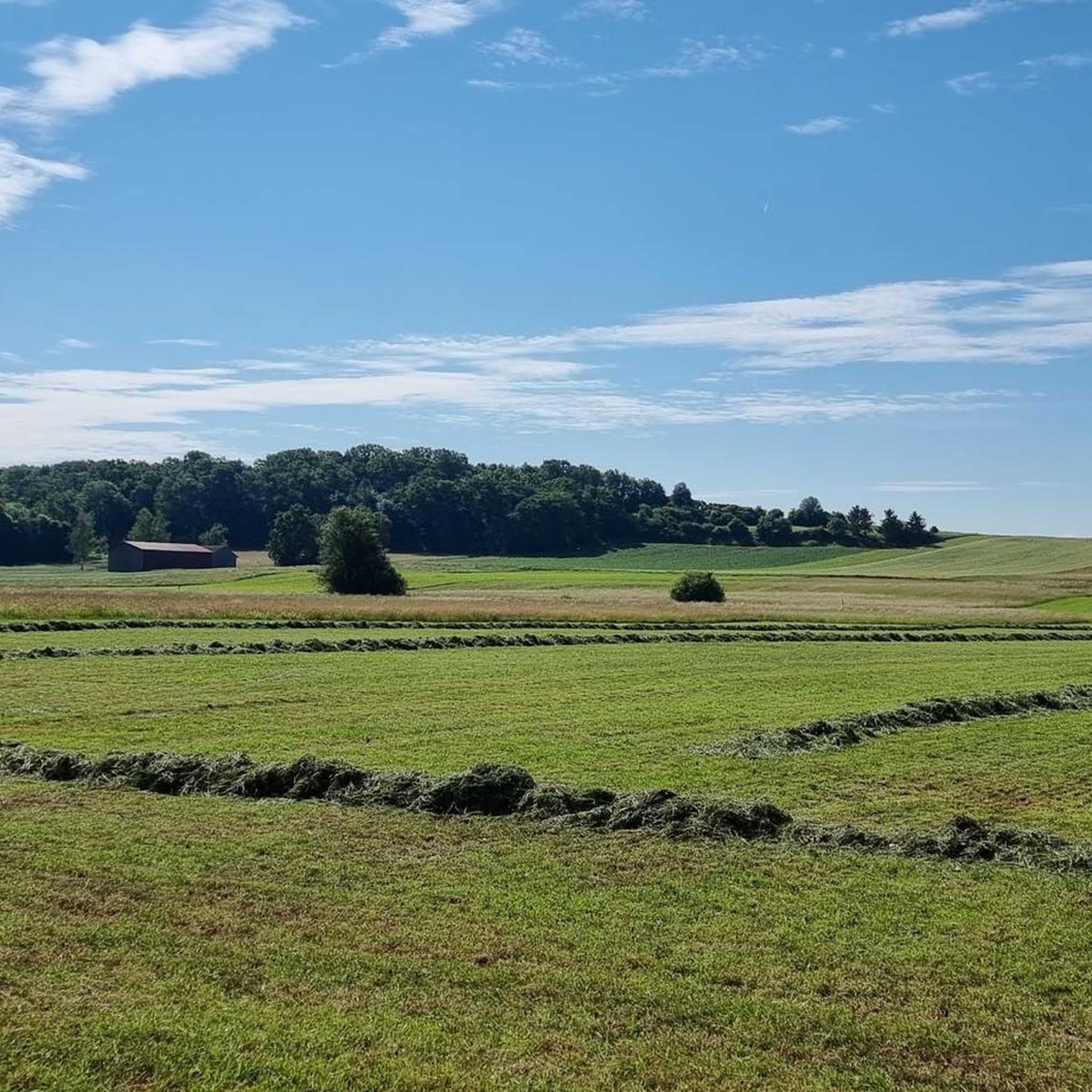
Hiking around Karlskron, Germany, offers exploration through a landscape characterized by rolling hills and picturesque scenery. The region features gentle forest paths and open areas, including the notable Donaumoos landscape. Hikers can discover a variety of trails that connect local landmarks and natural features, providing diverse experiences for different skill levels.
Best hiking trails around Karlskron
- The most popular hiking route is Steinerskirchen Monastery – Hohenried Peace Bells loop from Pobenhausen, a 9.0 miles (14.5 km) trail that takes…
Last updated: July 4, 2026
4.3
(3)
22
hikers
12.2km
03:18
160m
160m
Moderate hike. Good fitness required. Easily-accessible paths. Suitable for all skill levels.
5.0
(2)
5
hikers
14.5km
03:54
180m
190m
Moderate hike. Good fitness required. Easily-accessible paths. Suitable for all skill levels.

Sign up for free
5.0
(1)
2
hikers
Moderate hike. Good fitness required. Easily-accessible paths. Suitable for all skill levels.
4.0
(1)
5
hikers
6.33km
01:42
80m
80m
Easy hike. Great for any fitness level. Easily-accessible paths. Suitable for all skill levels.
5.0
(1)
3
hikers
10.1km
02:34
30m
30m
Moderate hike. Good fitness required. Easily-accessible paths. Suitable for all skill levels.
Get access to more routes and recommendations from other explorers.
Sign up for free
Already have an account?
Our route recommendations are based on thousands of hikes, rides, and runs completed by other people on komoot.
Start today with a free account
Your next adventure awaits.
Login or Signup
Other adventures around Karlskron

Tips from the Community

Good place for TAI CHI
0
0

Here, on this hill, is the Pobenhausen pilgrimage church called "Our Lady of Sorrows". You also have a beautiful view of the wide countryside. More about the church: Legends about the mountain emerged around 1668 and the fortified lookout point gradually became a place of pilgrimage. Source: https://karlskron.de/Die-Geschichte-des-Kalvarienbergs.o461.html
0
0
Here, on this hill, is the Pobenhausen pilgrimage church called "Our Lady of Sorrows". You also have a beautiful view of the wide open countryside. More about the church: Legends about the mountain arose around 1668 and the fortified lookout point gradually became a place of pilgrimage. Legend has it: In 1668, two girls from Pobenhausen, around 18 years old, went to the Calvary Hill, then still called Geisberg, to cut grass. Suddenly one of them, Margaretha Seydelmeyer, is said to have seen a beautiful child with a lamb that was being chased by wolves. When she showed this apparition to her companion, everything disappeared from her eyes. Both girls then hurried back to the village and, in great excitement, told of the apparition, whereupon holy reverence for this mountain gripped all the residents of the area. Source: https://www.karlskron.de/Die-Geschichte-des-Kalvarienbergs.o461.html
0
0

Nice, you can comfort yourself with some sounds
1
1
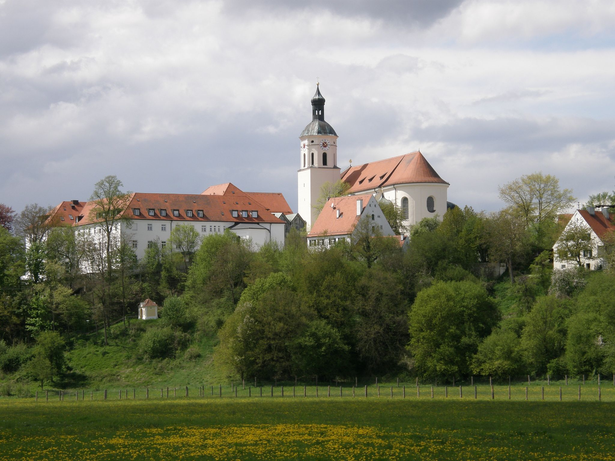
Beautiful view of the monastery
1
0
Beautiful little chapel g
1
0
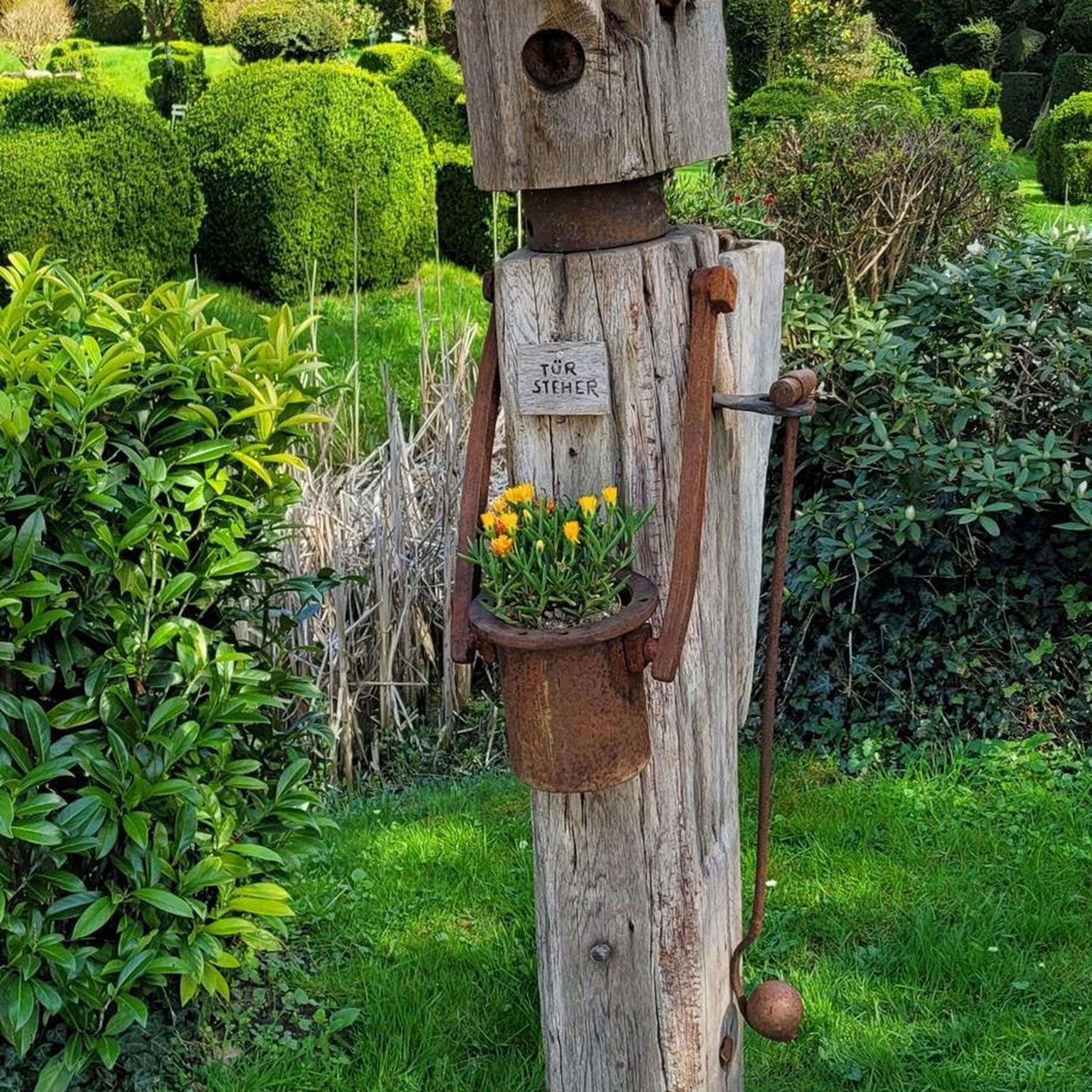
Cool idea to get rid of frustration
0
0
Beautiful monastery round, idyllic
0
0
Frequently Asked Questions
How many hiking trails are available around Karlskron?
There are over 20 hiking trails available around Karlskron, offering a variety of experiences through the region's rolling hills and the Donaumoos landscape. These routes are highly rated by the komoot community.
What kind of terrain can I expect on hikes around Karlskron?
Hikes around Karlskron primarily feature rolling hills and gentle forest paths. You'll also encounter open areas within the notable Donaumoos landscape, providing varied scenery suitable for different skill levels.
Are there easy hiking options suitable for beginners in Karlskron?
Yes, Karlskron offers several easy hiking options perfect for beginners or those looking for a relaxed walk. For example, the Steinerskirchen Loop loop from Karlskron is an easy 3.0-mile (4.8 km) trail that takes about 1 hour 12 minutes to complete through gentle landscapes. Another easy option is the Little Flower Monastery loop from Pobenhausen, which is 3.9 miles (6.3 km) long.
What do other hikers enjoy most about the trails in Karlskron?
The trails in Karlskron are highly rated by the komoot community, with an average score of 4.5 stars from over 2,200 reviews. Hikers often praise the varied terrain, from gentle forest paths to open landscapes, and the well-maintained routes that connect local landmarks and natural features.
Are there any circular hiking routes in Karlskron?
Yes, many of the trails around Karlskron are designed as circular routes, allowing you to start and end at the same point. Popular examples include the Steinerskirchen Monastery – Hohenried Peace Bells loop from Pobenhausen and the Steinerskirchen Loop loop from Karlskron.
Are there any specific landmarks or points of interest to see along the hiking trails?
While hiking around Karlskron, you can explore various points of interest. The Echo Square – Hohenried Peace Bells loop from Pobenhausen features scenic points like Echo Square and the Hohenried Peace Bells. Additionally, you might encounter local monasteries or other historical sites integrated into the trail network.
Are there any huts or shelters available along the hiking routes in Karlskron?
Yes, there are several huts and shelters in the vicinity of Karlskron that can serve as resting points or places to stop. Notable options include the Edelweißhütte, House Feilenmoos, and the Ronnweger Hut.
Are there any longer, more challenging hikes around Karlskron?
For those seeking longer, moderate excursions, Karlskron offers trails like the Steinerskirchen Monastery – Hohenried Peace Bells loop from Pobenhausen, which is 9.0 miles (14.5 km) long and takes nearly 4 hours to complete. Another moderate option is the Hohenried Peace Bells – P. Jules Chevalier Spring loop from Kalvarienbergweg, spanning 7.1 miles (11.5 km).
Is Karlskron suitable for family-friendly hikes?
Yes, Karlskron offers several trails that are suitable for families. The region's gentle landscapes and easy paths, such as the Steinerskirchen Loop loop from Karlskron, make it a good choice for walks with children, though specific stroller access may vary by route.
Are dogs allowed on the hiking trails in Karlskron?
Generally, dogs are welcome on hiking trails in the Karlskron region. However, it's always advisable to keep them on a leash, especially in nature areas or near livestock, and to check for any specific local regulations on individual trails or nature reserves.
What is the best time of year to go hiking in Karlskron?
The best time to go hiking in Karlskron is typically during the spring, summer, and early autumn months when the weather is mild and the paths are clear. These seasons offer pleasant conditions for exploring the rolling hills and open landscapes of the Donaumoos.
Most popular routes around Karlskron
Most popular attractions around Karlskron

Get inspired with the komoot mobile app


Explore more
Browse the best Hikes in other regions.
