The best running trails in Spipiyus Provincial Park
13
runners
3
runs
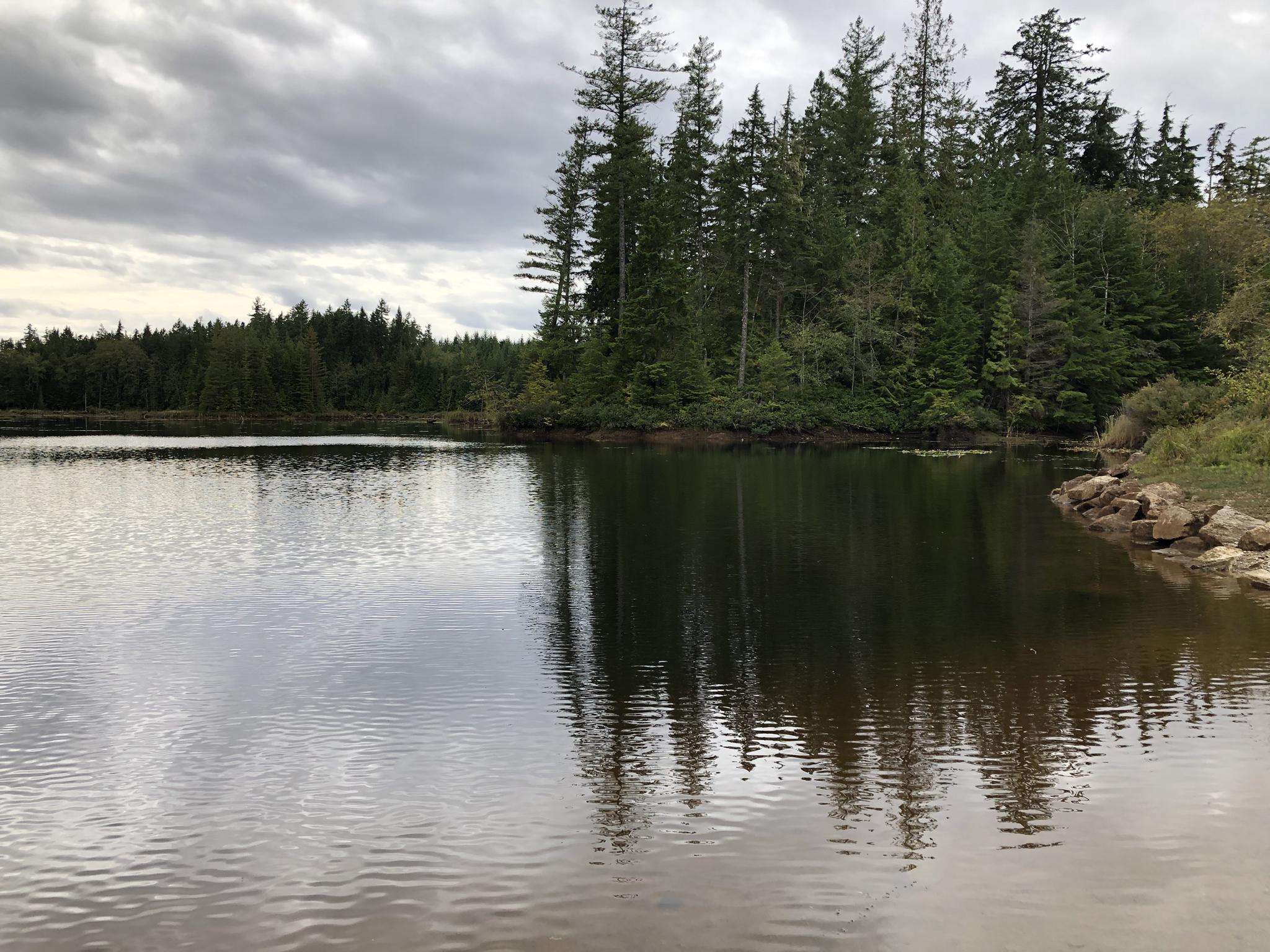
Jogging in Spipiyus Provincial Park offers access to one of Canada's oldest closed-canopy temperate rainforests, featuring ancient Douglas-fir and Yellow Cedar stands. The terrain includes varied elevations, mostly between 700 and 1,200 meters above sea level. While designated trails are limited, a network of deactivated logging roads provides suitable paths for running. These routes allow exploration of the park's natural features, including lakes and panoramic viewpoints.
Best jogging routes in Spipiyus Provincial Park
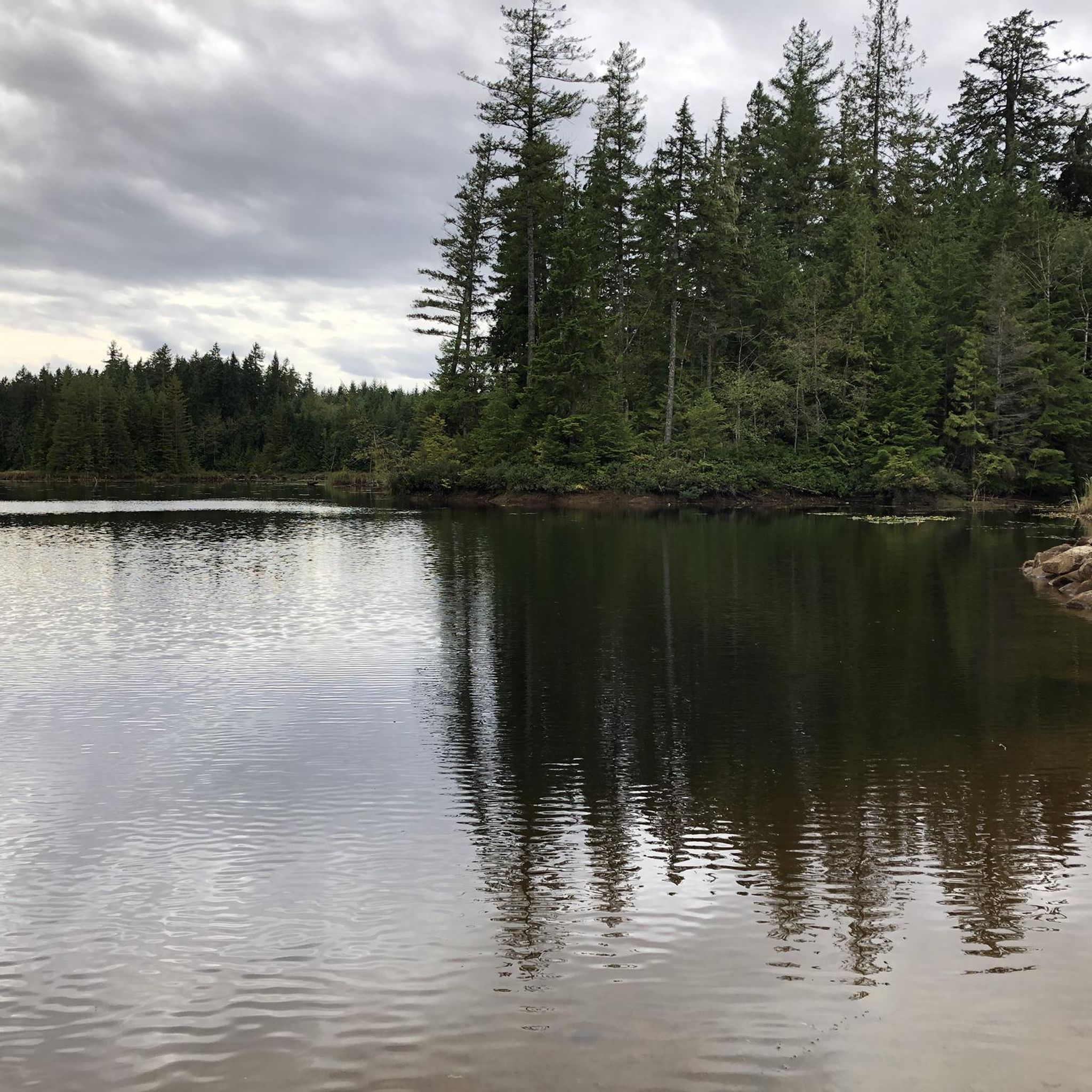
- The most popular jogging route is Brown Lake loop from Backeddy Marine Pub, a 5.2 miles (8.3 km) trail that takes 1 hour to complete, circling Brown Lake through the park's natural environment.
- Another top favourite among local runners is Pender Hill loop from Garden Bay Marine Provincial Park, a difficult 7.2 miles (11.5 km) path offering ascents and views over the surrounding islands and fjords.
- Local runners also love the Garden Bay Lake loop from Daniel Point Park, a 4.2 miles (6.7 km) trail leading through forested areas around Garden Bay Lake, often completed in about 45 minutes.
- Jogging in Spipiyus Provincial Park is defined by ancient forests, deactivated logging roads, and varied elevations. The network offers options for different ability levels, from moderate loops to more challenging ascents.
- The guide includes highly-rated routes that showcase the best of the region's landscape. More than 10 runners have used komoot to explore Spipiyus Provincial Park's varied terrain.
Last updated: July 2, 2026
8
runners
8.31km
01:00
150m
150m
Moderate run. Good fitness required. Mostly paved surfaces. Suitable for all skill levels.
2
runners
11.5km
01:25
350m
350m
Hard run. Very good fitness required. Mostly paved surfaces. Suitable for all skill levels.

Sign up for free
3
runners
6.71km
00:44
110m
110m
Moderate run. Good fitness required. Mostly paved surfaces. Suitable for all skill levels.
Our route recommendations are based on thousands of hikes, rides, and runs completed by other people on komoot.
Start today with a free account
Your next adventure awaits.
Login or Signup
Popular around Spipiyus Provincial Park
Frequently Asked Questions
What kind of terrain can I expect when running in Spipiyus Provincial Park?
Spipiyus Provincial Park is known for its unique blend of ancient forests and varied elevations. You'll mostly be running on a network of deactivated logging roads, which provide paths through the park's natural beauty. The terrain generally ranges between 700 and 1,200 meters above sea level, offering both moderate and challenging ascents.
Are there any specific landmarks or viewpoints I can reach while jogging in the park?
While jogging through the park, you can experience its natural features, including lakes and panoramic viewpoints. A notable attraction is the historic fire lookout tower on Mount Hallowell, which offers exceptional vistas of the islands and fjords of Pender Harbour, the Strait of Georgia, and Vancouver Island. Spipiyus Peak also provides a more challenging ascent with rewarding views.
What are some popular running routes in Spipiyus Provincial Park?
Local runners enjoy several routes. The Brown Lake loop from Backeddy Marine Pub is a popular moderate option, circling Brown Lake. For a more challenging experience, the Pender Hill loop from Garden Bay Marine Provincial Park offers significant ascents and views. Another favorite is the Garden Bay Lake loop from Daniel Point Park, which takes you through forested areas around the lake.
What is the difficulty level of running trails in Spipiyus Provincial Park?
The running routes in Spipiyus Provincial Park offer a range of difficulties. You'll find moderate loops suitable for a steady run, such as the Brown Lake loop, as well as more challenging paths like the Pender Hill loop, which involves significant ascents.
Can I bring my dog on the running trails in Spipiyus Provincial Park?
Spipiyus Provincial Park is generally welcoming to dogs, but it's always recommended to keep them on a leash to protect the diverse wildlife, which includes black bears, cougars, and various bird species like the marbled murrelet. Always check for specific park regulations regarding pets before your visit.
Are there any family-friendly jogging options in Spipiyus Provincial Park?
While the park's terrain can be varied, many of the deactivated logging roads offer suitable paths for families looking for a jog or walk. Routes like the Garden Bay Lake loop provide a moderate experience through forested areas that could be enjoyable for active families.
What kind of wildlife might I encounter while running in Spipiyus Provincial Park?
Spipiyus Provincial Park is a critical habitat for diverse wildlife. You might spot the marbled murrelet, a seabird that nests in old-growth trees, or larger mammals such as black bears, Roosevelt elk, cougars, bobcats, and black-tailed deer. River otters and snowshoe hares also inhabit the area, making for a rich natural experience.
What are the typical distances and durations for running routes in the park?
Running routes in the park vary in length and time. For example, the Brown Lake loop is about 8.3 km and takes around 1 hour. A more challenging option like the Pender Hill loop covers approximately 11.5 km and can take over 1 hour and 25 minutes to complete.
Are there any circular running routes available in Spipiyus Provincial Park?
Yes, several popular running routes in Spipiyus Provincial Park are circular. Examples include the Brown Lake loop and the Garden Bay Lake loop, both of which offer a complete circuit through the park's natural environment.
What makes the forests in Spipiyus Provincial Park unique for running?
The park protects some of Canada's oldest closed-canopy temperate rainforest, featuring ancient Douglas-fir stands and some of the world's oldest Yellow Cedars, Mountain Hemlocks, and Western Hemlocks. This old-growth forest creates a serene and immersive natural environment for running, with mossy trees and ferns shaping the landscape.
Is public transport available to access jogging trails in Spipiyus Provincial Park?
Access to Spipiyus Provincial Park primarily relies on personal vehicles, especially for reaching the starting points of many deactivated logging roads suitable for jogging. Public transport options directly to the trailheads within the park are limited, so planning for private transportation is advisable.
What are the best times of year to go running in Spipiyus Provincial Park?
The tempering effect of the Strait of Georgia and Sechelt Inlet ensures considerable precipitation, contributing to the lushness of the temperate rainforest. While this means the park is green year-round, spring and fall often offer cooler temperatures and vibrant scenery ideal for running. Summer can be pleasant, but always be prepared for potential rain regardless of the season.
Most popular routes in Spipiyus Provincial Park

Get inspired with the komoot mobile app


Explore more
Browse the best Running Trails & Routes in other regions.
