The best mountain hikes in Leaota
3.5
(2)
11
hikers
4
hikes
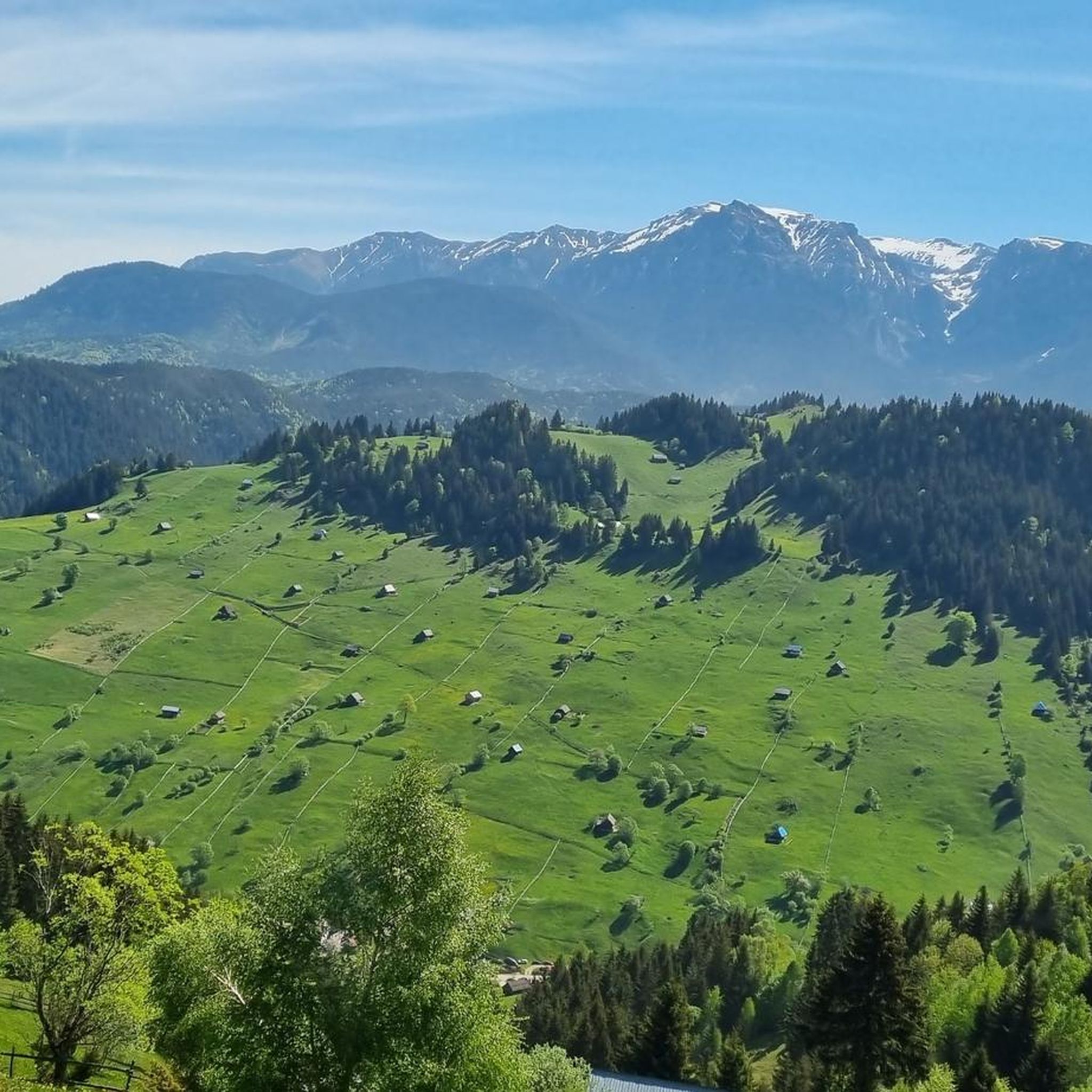
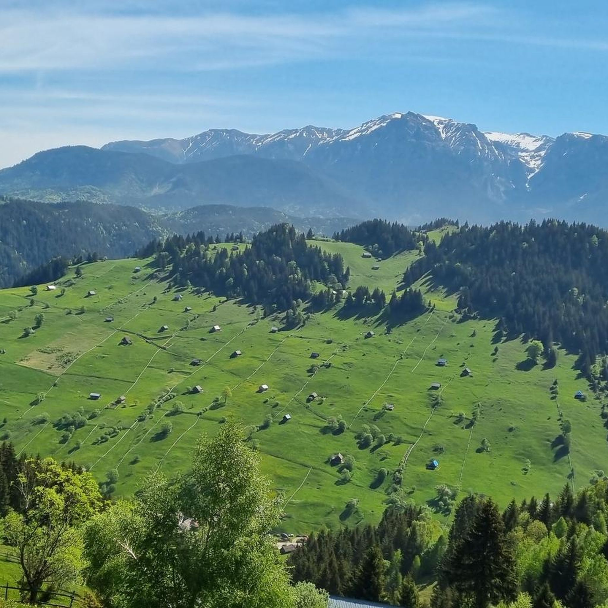
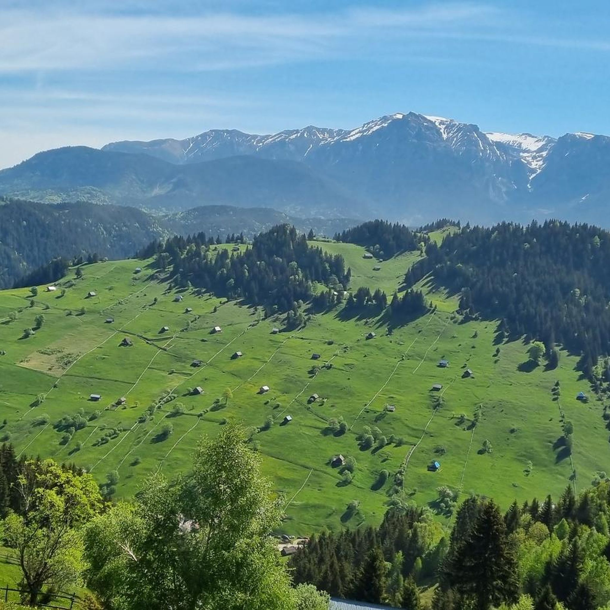
Mountaineering in Leaota offers demanding routes through a wild and untouched wilderness in the Southern Carpathians. The region is characterized by massive, rounded ridges and extensive grassy plateaus, contrasting with dense fir and beech forests. Leaota Peak, at 2,133 meters, is the highest point, while Cioara Peak (1,856 meters) provides panoramic views. The terrain is often described as technically friendly but physically challenging, with significant elevation gains.
Best mountaineering routes in Leaota
- The most popular mountaineering route is Strungulița Saddle – Șaua Strunga Shelter loop from Pensiunea Mario, an 8.75 miles (14.1 km) trail that takes 5 hours 42 minutes to complete. This difficult route features substantial elevation gain through varied mountain terrain.
- Another top favourite among local mountaineers is La Stâncă – Belvedere loop from Cheia, a moderate 6.08 miles (9.8 km) path. This route offers open views and ascents through forested areas.
- Local mountaineers also love the Șaua Strunga Refuge loop from Parcul Natural Bucegi, a 5.55 miles (8.9 km) trail leading through mountain forests and open sections, often completed in about 3 hours 19 minutes.
- Mountaineering in Leaota is defined by massive, rounded ridges, extensive grassy plateaus, and dense fir and beech forests. The network offers options for both moderate and difficult ability levels, requiring good fitness and alpine experience.
- The routes in Leaota are highly rated by the komoot community with an average score of 3.5 stars from 2 reviews. More than 14 mountaineers have used komoot to explore Leaota's varied terrain.
Last updated: June 27, 2026
4
hikers
14.1km
05:42
880m
880m
Hard mountaineering route. Very good fitness required. Sure-footedness, sturdy shoes and alpine experience required.
1
hikers
8.96km
03:20
470m
470m
Moderate mountaineering route. Good fitness required. Mostly accessible paths. Sure-footedness required.

Sign up for free
5.0
(1)
4
hikers
13.4km
05:10
820m
820m
Hard mountaineering route. Very good fitness required. Mostly accessible paths. Sure-footedness required.
2.0
(1)
2
hikers
Hard mountaineering route. Very good fitness required. Mostly accessible paths. Sure-footedness required.
Our route recommendations are based on thousands of hikes, rides, and runs completed by other people on komoot.
Start today with a free account
Your next adventure awaits.
Login or Signup
Popular around Leaota
Tips from the Community


It's better to start a little earlier and allow more time. It's better to take the cable car down to the valley. Brown bears are waiting for you on the road below the mid-station.
0
0


Refugiul Șaua Strunga – Mountain Shelter with a View Perched at over 1900 m in the Bucegi Mountains, Refugiul Șaua Strunga is a small, basic mountain shelter offering protection from the elements and unforgettable alpine scenery. It’s a key waypoint on several hiking and MTB routes, linking Bran and Moieciu to the Bucegi plateau. ⛺ Tip: The shelter is not staffed and has no facilities – bring your own sleeping bag and water. It's best used for emergencies or short rest stops. Nights here can be chilly even in summer, so pack accordingly. 🥾 Great for hikers & bikers looking for solitude and high-mountain vibes. 📍 Also a perfect sunrise or sunset spot – if the weather plays along.
0
0

Frequently Asked Questions
How many mountaineering routes are available in Leaota?
There are over 5 challenging mountaineering routes in Leaota, ranging from moderate to difficult. These trails offer a deep immersion into the region's wild and untouched wilderness.
What is the overall difficulty of mountaineering in Leaota?
Mountaineering in Leaota is generally considered physically demanding, with significant elevation gains often exceeding 1,000 meters. While the terrain is described as 'technically friendly' without requiring specialized climbing gear, good fitness, sure-footedness, and alpine experience are essential. You'll find both moderate and difficult routes, such as the challenging Strungulița Saddle – Șaua Strunga Shelter loop from Pensiunea Mario.
Are there any circular mountaineering routes in Leaota?
Yes, Leaota offers several rewarding circular routes. For example, the La Stâncă – Belvedere loop from Cheia is a moderate 9.8 km path with open views and ascents through forested areas. Another option is the Șaua Strunga Refuge loop from Parcul Natural Bucegi, which takes you through mountain forests and open sections.
What natural features can I expect to see along the mountaineering routes?
Leaota is characterized by massive, rounded ridges and extensive grassy plateaus, often described as 'green waves frozen in time.' You'll also traverse dense fir and beech forests, some of the most pristine in the Carpathians. The region offers a profound sense of solitude and untouched wilderness, with paths often shaped more by wildlife than human traffic.
Are there any prominent peaks or viewpoints in Leaota?
Absolutely. Leaota Peak, at 2,133 meters, is the highest point and a primary objective for mountaineers, offering rewarding views. Another spectacular belvedere point is Cioara Peak (1,856 meters), which provides expansive views towards Leaota Peak, the Bucegi Mountains, and Piatra Craiului. The La Stâncă – Belvedere loop from Cheia is a great route for open views.
What do other mountaineers enjoy most about Leaota?
The Leaota Mountains are highly rated by the komoot community, with an average score of 3.5 stars. Reviewers often praise the profound silence, untouched wilderness, and the physically demanding yet technically friendly terrain. The opportunity for true wilderness exploration and panoramic views from various peaks is also frequently highlighted.
Is Leaota suitable for family-friendly mountaineering?
Leaota's mountaineering routes are generally physically demanding, with significant elevation gains. While the terrain is not technically difficult, it requires good fitness and sure-footedness. There are no specific routes highlighted as 'easy' or 'family-friendly' in the context of mountaineering. Families with younger children or those seeking less strenuous options might find the longer distances and elevation challenging.
Are there any specific landmarks or points of interest along the trails?
Beyond the natural beauty, you might encounter traditional sheepfolds (Stâne), where shepherds still practice centuries-old cheese-making methods, adding a unique cultural element. The abandoned Leaota Tourist Shelter, built in the 1940s, also offers a historical point of interest for those passing by. The classic route of Piatra Dragoslavelor is also known for its generous landscapes.
What is the best time of year for mountaineering in Leaota?
The Leaota Mountains are best explored during the warmer months when trails are clear of snow and weather conditions are more stable. The region's challenging nature means that winter mountaineering requires specialized equipment and significant experience due to snow, ice, and potentially difficult navigation.
Are there opportunities for wild camping in Leaota?
Given the limited modern infrastructure and the state of mountain huts, Leaota is well-suited for those prepared for wild camping. This enhances the remote wilderness experience, allowing for deeper immersion in the untouched natural environment.
What are the parking options for accessing mountaineering routes in Leaota?
Access points to Leaota's mountaineering routes typically involve reaching trailheads by car. Specific parking information for individual routes like the Strungulița Saddle – Șaua Strunga Shelter loop from Pensiunea Mario or the Găvanele – Bucura Dumbravă loop from Ialomiței Cave would usually be found near the starting points mentioned in the route descriptions, such as Pensiunea Mario or Ialomiței Cave.
Can I reach Leaota's mountaineering trails using public transport?
While specific public transport routes directly to all trailheads in the remote Leaota Mountains can be limited, some starting points might be accessible via regional buses to nearby towns. From there, you might need to arrange local transport or a taxi to reach the exact trailhead. Planning ahead is crucial for public transport access.

Get inspired with the komoot mobile app


Explore more
Browse the best Mountain Hikes & Routes in other regions.
