The best mountain hikes in Donauleiten Von Passau Bis Jochenstein
5.0
(1)
31
hikers
5
hikes
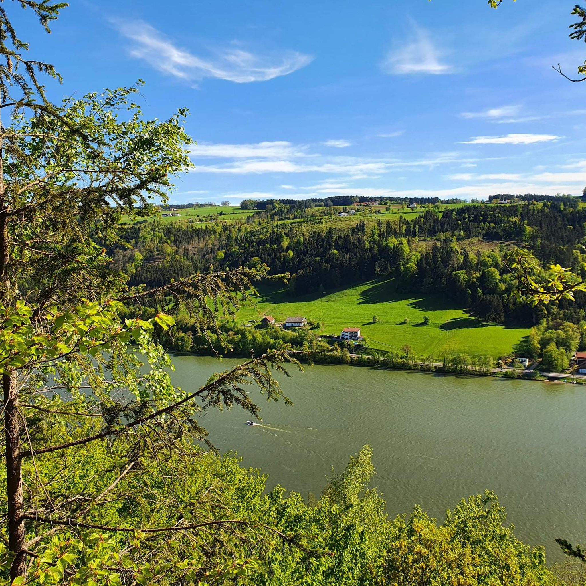
Mountaineering in Donauleiten Von Passau Bis Jochenstein offers strenuous hiking experiences through a designated nature reserve along the Danube valley. The region is characterized by steep south-facing slopes, diverse heat-loving oak and beech forests, and open silicate rock faces. Elevations range from approximately 290 meters to 550 meters above sea level, providing varied terrain for mountaineering routes.
Best mountaineering routes in Donauleiten Von Passau Bis Jochenstein
- The most popular mountaineering route is Haugstein Summit (895 m) – Vichtenstein Castle loop…
Last updated: August 20, 2026
8
hikers
Moderate mountaineering route. Good fitness required. Easily-accessible paths. Suitable for all skill levels.
7
hikers
9.76km
02:59
340m
350m
Moderate mountaineering route. Good fitness required. Easily-accessible paths. Suitable for all skill levels.

Sign up for free
5.0
(1)
7
hikers
5.53km
01:40
170m
170m
Easy mountaineering route. Great for any fitness level. Easily-accessible paths. Suitable for all skill levels.
2
hikers
8.39km
02:41
320m
320m
Moderate mountaineering route. Good fitness required. Easily-accessible paths. Suitable for all skill levels.
6
hikers
5.10km
01:32
170m
170m
Easy mountaineering route. Great for any fitness level. Easily-accessible paths. Suitable for all skill levels.
Our route recommendations are based on thousands of hikes, rides, and runs completed by other people on komoot.
Start today with a free account
Your next adventure awaits.
Login or Signup
Popular around Donauleiten Von Passau Bis Jochenstein
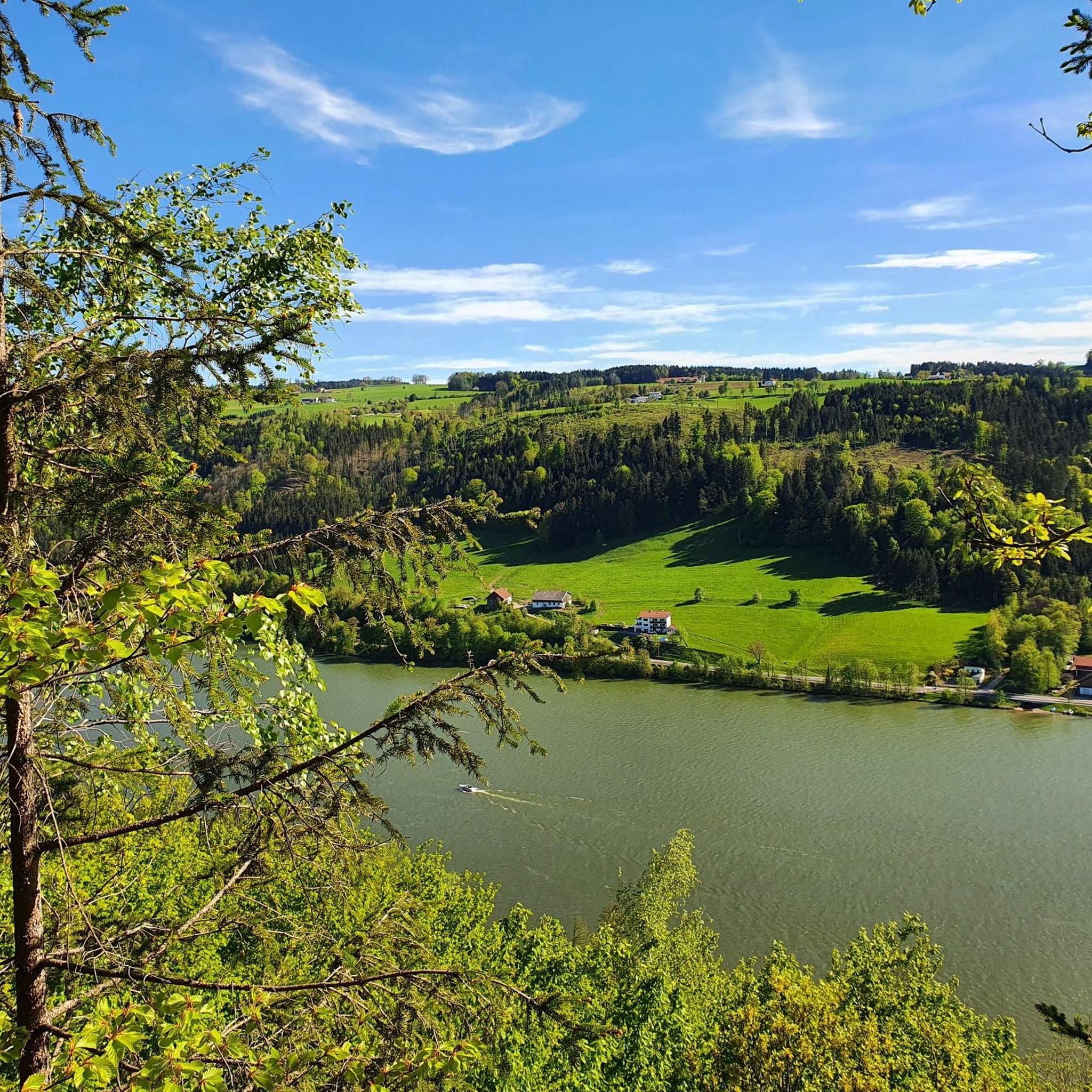
Cycling in Donauleiten Von Passau Bis Jochenstein
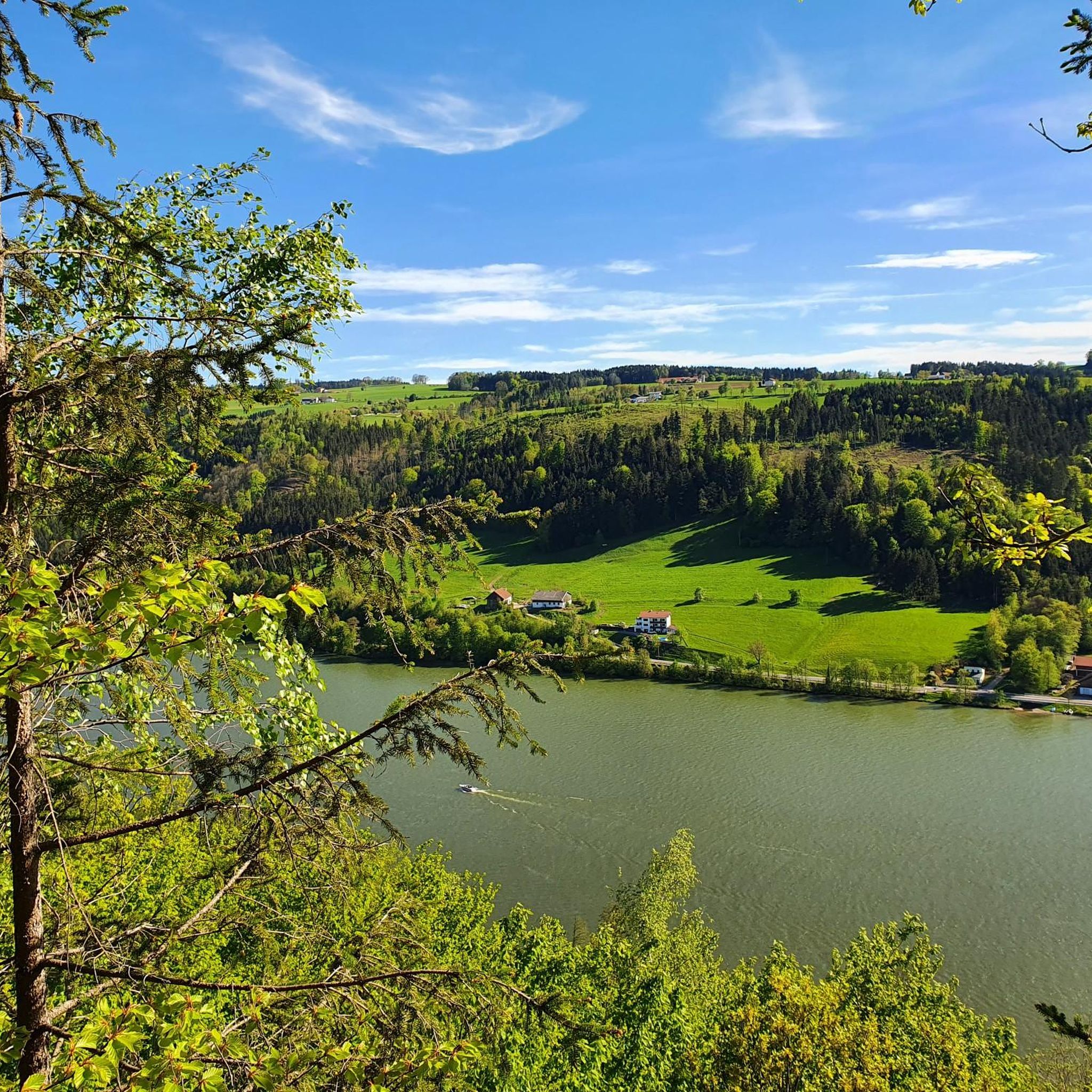
Road Cycling Routes in Donauleiten Von Passau Bis Jochenstein
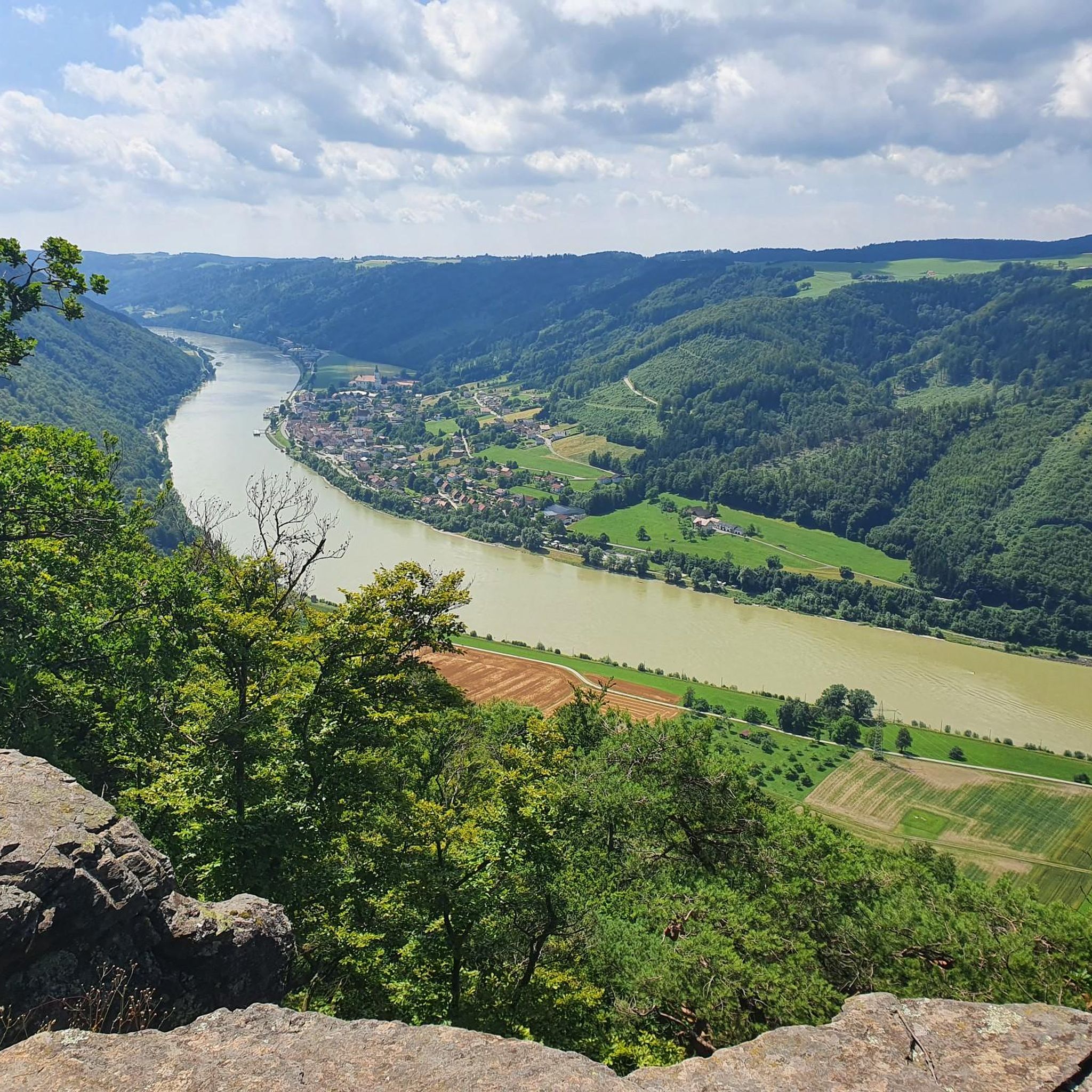
Running Trails in Donauleiten Von Passau Bis Jochenstein
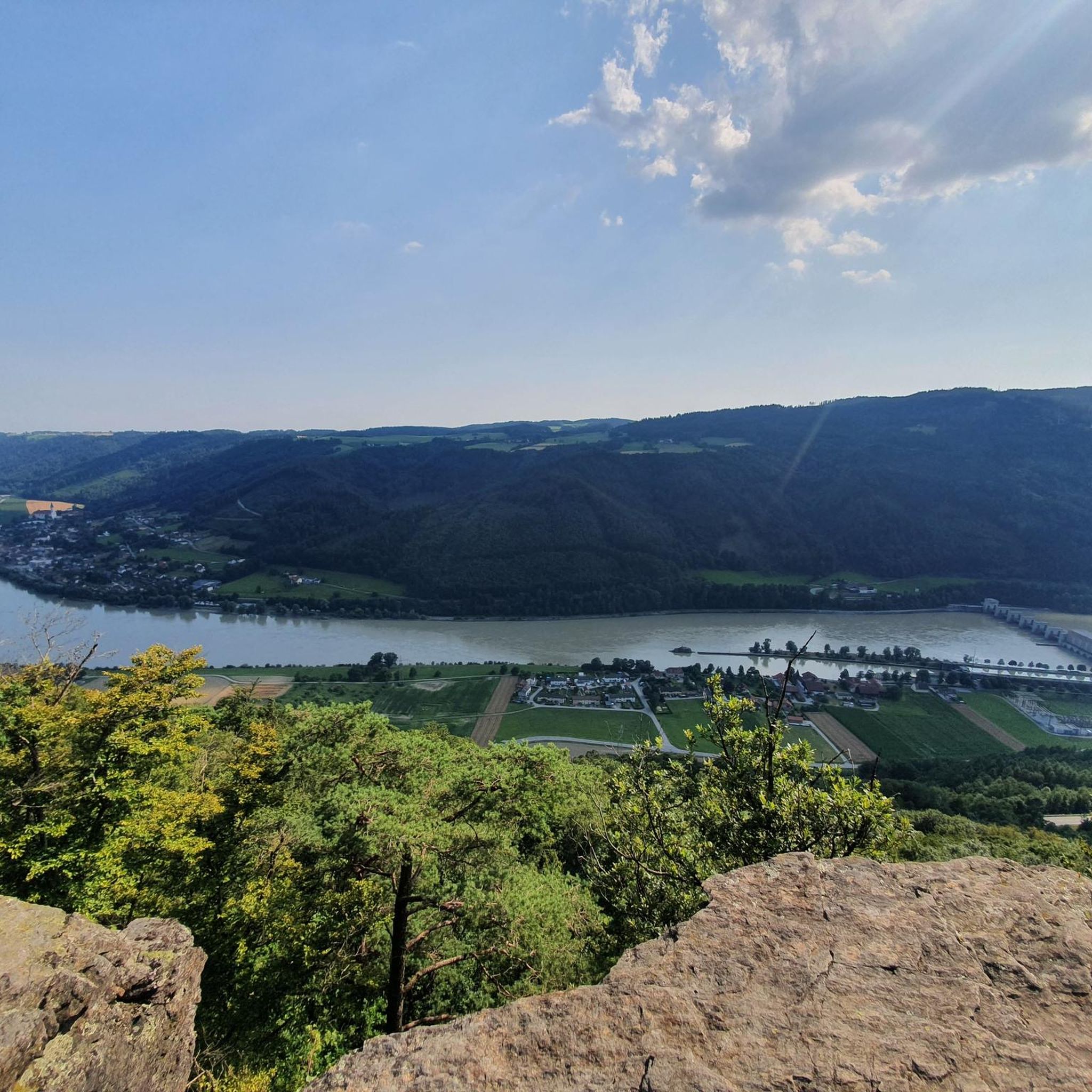
MTB Trails in Donauleiten Von Passau Bis Jochenstein
Hiking in Donauleiten Von Passau Bis Jochenstein

Gravel biking in Donauleiten Von Passau Bis Jochenstein
Tips from the Community

Maierhof viewpoint with panoramic views of Bavaria.
0
0


Beautiful memorial in the middle of the forest
1
0

Part of the circular route is more suitable for mountain bikers. Not for those with weak knees. Otherwise, it's very rustic with lovely rest and viewpoints.
1
0

The descent to the waterfall is secured with a rope, but is easy to manage with good hiking boots.
1
0

with a bell that you can operate yourself
1
0

A little above the hiking car park there is a bench... sit here, enjoy the peace and the view and simply
1
0
Frequently Asked Questions
How many mountaineering routes are available in Donauleiten Von Passau Bis Jochenstein?
There are 5 dedicated mountaineering routes in Donauleiten Von Passau Bis Jochenstein, offering a range of experiences from easy to moderate difficulty. These routes provide strenuous hiking opportunities through the region's unique natural landscape.
What kind of terrain can I expect on mountaineering routes in Donauleiten Von Passau Bis Jochenstein?
The terrain in Donauleiten Von Passau Bis Jochenstein is characterized by steep south-facing slopes, often interrupted by side valleys, creating a dramatic and varied landscape. You'll encounter diverse heat-loving oak and beech forests, as well as open silicate rock faces. Elevations range from approximately 290 meters to 550 meters above sea level, requiring sure-footedness and a good level of fitness.
Are there any circular mountaineering routes in the Donauleiten Von Passau Bis Jochenstein region?
Yes, several routes are designed as loops, allowing you to start and end in the same location. For example, the Haugstein Summit (895 m) – Vichtenstein Castle loop from Engelhartszell an der Donau is a moderate 12.4 km circular trail, and the View of Wesenufer – Bockbach Waterfall loop from Niederranna offers a moderate 8.5 km experience.
What are some notable viewpoints or natural features along the mountaineering routes?
The region is rich in stunning views and natural beauty. You can enjoy panoramic vistas from the View from Ebenstein Rock across the Danube Valley or the Donaublick Hochstein. The entire area is part of the Donauleiten Nature Reserve, known for its unique flora and fauna, including the Rock face at the Donauleite near Obernzell.
Are there any waterfalls to see on the mountaineering trails?
Yes, you can discover the Bockbach Waterfall on the View of Wesenufer – Bockbach Waterfall loop from Niederranna route. This moderate 8.5 km trail offers scenic views and the refreshing sight of the waterfall.
What historical sites or landmarks can I explore while mountaineering in Donauleiten Von Passau Bis Jochenstein?
The region offers glimpses into its past. You can visit the Ruins of Neujochenstein Castle or the Altjochenstein Castle Ruins. Additionally, the Nixe Isa statue on the Danube is a local highlight with a mythical legend.
Are there any easy mountaineering routes suitable for beginners or those looking for a less strenuous hike?
Yes, there are easy options available. The Chapel at Eidenberger Lusen – Bärnlochweg Shelter loop from Oberkappel is an easy 5.6 km trail, typically completed in about 1 hour 40 minutes. Another easy choice is the Chapel at Eidenberger Lusen – Bärnlochweg loop from Hartmannsreut, which is 5.0 km long.
How long do the mountaineering routes typically take to complete?
The duration of the routes varies depending on their length and difficulty. Easy routes like the Chapel at Eidenberger Lusen – Bärnlochweg Shelter loop from Oberkappel can take around 1 hour 40 minutes. Moderate routes, such as the Vichtenstein Castle – Haugstein Summit (895 m) loop from Vichtenstein (9.8 km), typically take about 2 hours 59 minutes.
What do other mountaineers say about the routes in Donauleiten Von Passau Bis Jochenstein?
The mountaineering routes in Donauleiten Von Passau Bis Jochenstein are highly regarded by the komoot community, with an average rating of 5.0 stars. Users often praise the stunning views of the Danube, the varied forest landscapes, and the challenging yet rewarding nature of the trails.
Is the Donauleiten Von Passau Bis Jochenstein region suitable for family-friendly mountaineering?
While the region offers strenuous hiking experiences, there are easier routes that families with some hiking experience might enjoy. The easy trails, such as the Chapel at Eidenberger Lusen – Bärnlochweg Shelter loop from Oberkappel, provide a good introduction to the area's natural beauty without being overly demanding. Always consider the fitness level of all family members before embarking on a route.
What is the best time of year to go mountaineering in Donauleiten Von Passau Bis Jochenstein?
The Donauleiten region is beautiful throughout the warmer months, generally from spring to autumn. The diverse forests and unique biodiversity are particularly vibrant during these seasons. While specific winter mountaineering routes are not highlighted, the challenging terrain and steep slopes would require extra caution and appropriate gear if attempting hikes in snowy or icy conditions.
Most popular routes in Donauleiten Von Passau Bis Jochenstein
Most popular attractions in Donauleiten Von Passau Bis Jochenstein

Get inspired with the komoot mobile app


Explore more
Browse the best Mountain Hikes & Routes in other regions.
