The best road cycling routes in Rokoš
40
riders
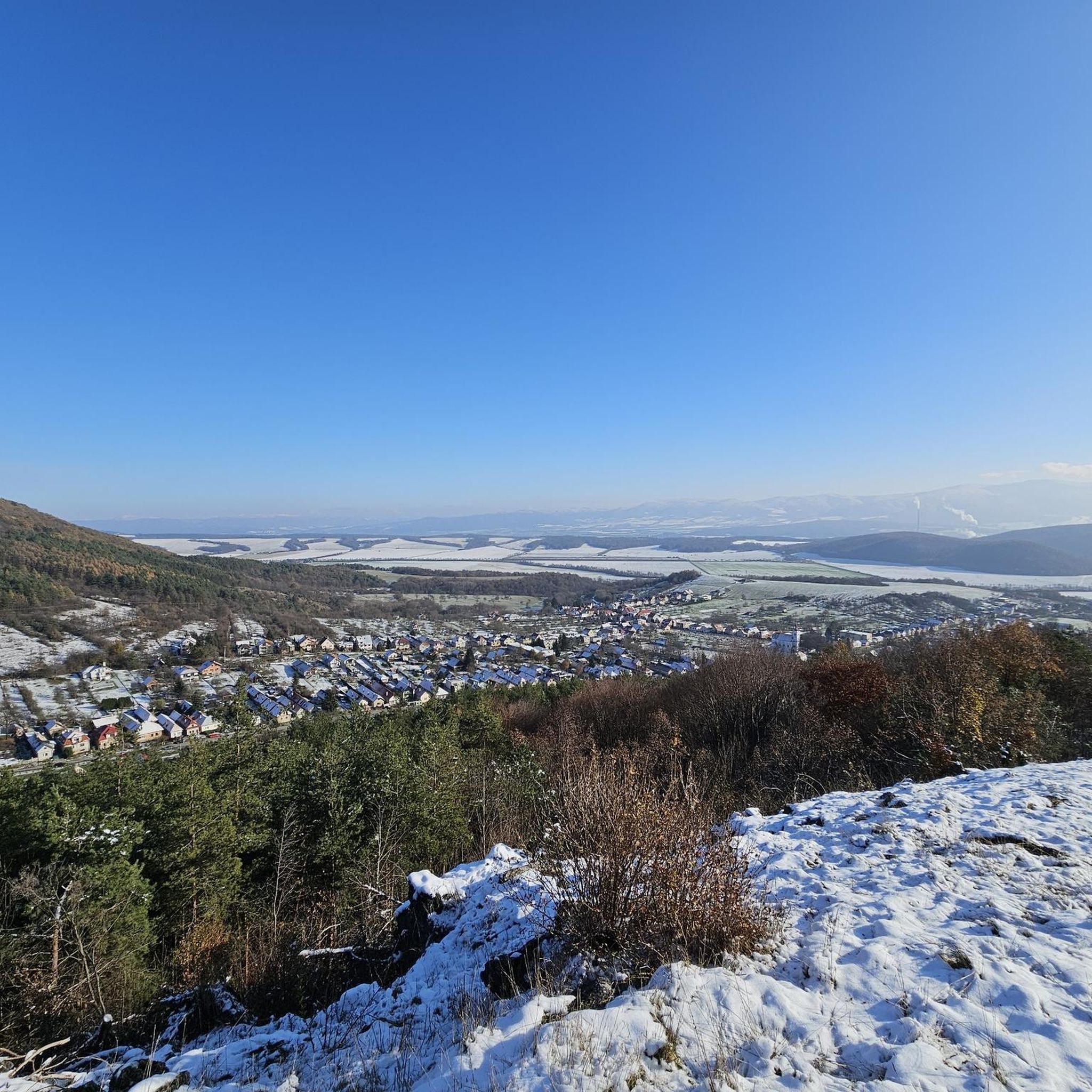
Road cycling routes in Rokoš traverse the southern part of the Strážovské vrchy mountains, a region characterized by its untouched nature and diverse landscapes. The area is a National Nature Reserve, featuring a unique blend of mountain and xerothermic vegetation. While the Rokoš peak itself is primarily for hiking, the surrounding foothills and valleys offer scenic roads suitable for road cycling. The terrain includes ascents into the lower mountain slopes and views of the Upper Nitra Basin.
Best road cycling…
Last updated: July 10, 2026
11
riders
35.7km
01:35
260m
260m
Easy road ride. Great for any fitness level. Mostly well-paved surfaces and easy to ride.
8
riders
50.2km
02:10
330m
330m
Moderate road ride. Good fitness required. Mostly well-paved surfaces and easy to ride.

Sign up for free
4
riders
48.7km
02:18
580m
580m
Moderate road ride. Good fitness required. Mostly well-paved surfaces and easy to ride.
Our route recommendations are based on thousands of hikes, rides, and runs completed by other people on komoot.
Start today with a free account
Your next adventure awaits.
Login or Signup
Popular around Rokoš
Tips from the Community

From Látkovce to Uhrovec under Jankov Vršok. Asphalt of the road is in very bad conditions (40%). Therefore I do not recommend it for descent rather for climbing from Latkovce.
0
0

and decent surface to enjoy the view too
0
0
Frequently Asked Questions
How many road cycling routes are available in the Rokoš region?
There are 3 road cycling routes currently available in the Rokoš region on komoot. These routes traverse the southern part of the Strážovské vrchy mountains, offering diverse landscapes for exploration.
What kind of scenery can I expect while road cycling in Rokoš?
Road cycling in Rokoš offers diverse scenery, including views of the Upper Nitra Basin and roads winding through the foothills of the Strážovské vrchy mountains. The region is a National Nature Reserve, known for its untouched nature and unique blend of mountain and xerothermic vegetation.
Are there any historical sites or natural landmarks to see along the road cycling routes in Rokoš?
While the routes primarily focus on natural beauty, the broader Rokoš area features several points of interest. You might find the romantic ruins of Uhrovec Castle, dating back to the 13th century, or the Brložná diera cave, a natural monument. Near the Rokoš peak, there's also a monument dedicated to famous natives Ľudovít Štúr and Alexander Dubček.
What is the typical difficulty level for road cycling routes in Rokoš?
The road cycling routes in Rokoš are generally of moderate difficulty. They include ascents into the lower mountain slopes, offering a good balance of challenge and scenic enjoyment. For example, the Roadbike loop from Nováky features an elevation gain of 264 meters over 35.7 km.
What is the best time of year for road cycling in Rokoš?
The Rokoš region is beautiful throughout the year, but for road cycling, spring and summer offer vibrant flora, while autumn brings golden hues. Winter can bring a thick blanket of snow, making some routes less suitable for road bikes, though lower elevation roads might still be accessible.
Are there any circular road cycling routes in Rokoš?
Yes, all the featured road cycling routes in Rokoš are designed as loops. Examples include the popular Roadbike loop from Nováky and the View of the Slovak Countryside loop from Nováky, allowing you to start and finish in the same location.
Is parking available for road cyclists in the Rokoš region?
While specific parking areas for road cycling routes are not detailed, routes often start from villages like Nováky. It is generally possible to find parking in or near these villages, which serve as access points to the cycling routes in the foothills of the Strážovské vrchy mountains.
Are the road cycling routes in Rokoš suitable for families?
The road cycling routes in Rokoš are generally rated as moderate. While they offer scenic views, some routes include ascents and cover distances of 35-50 km. Families with younger children or less experienced cyclists might find these routes challenging. It's advisable to check the specific route details, such as distance and elevation gain, before planning a family outing.
Can I expect challenging climbs on road cycling routes in Rokoš?
Yes, road cycling in Rokoš can include challenging climbs, as the routes traverse the foothills of the Strážovské vrchy mountains. For instance, the View of the Slovak Countryside loop from Nováky has an elevation gain of 578 meters, offering a good workout for experienced cyclists.
Are there options for refreshments or accommodation near the road cycling routes?
The road cycling routes in Rokoš often start from or pass through villages such as Nováky. These villages typically offer basic amenities, including cafes, pubs, and potentially accommodation options. For more specific information, it's recommended to check local listings for the villages along your chosen route.
What makes the Rokoš region unique for road cycling?
The Rokoš region stands out for its designation as a National Nature Reserve, offering road cyclists a chance to experience untouched nature and diverse landscapes. It's the only location in the Western Carpathians where Scots pine and hairy oak coexist, providing a unique natural backdrop to your rides through the foothills and valleys.
What is the longest road cycling route available in Rokoš?
The longest road cycling route currently available in Rokoš is the Vodný hrad Šimonovany loop from Nováky, which covers a distance of 50.2 km (31.2 miles) with an elevation gain of 334 meters.
Most popular routes in Rokoš

Get inspired with the komoot mobile app


