The best mountain hikes in Grafenwald
3
hikers
2
hikes
Mountaineering routes in Grafenwald traverse the unique volcanic landscape of the Volcanic Eifel region, characterized by extensive forests and rolling hills. The area features diverse terrain, including dramatic geological formations and scenic river valleys, shaped by its volcanic past. While not featuring high alpine peaks, the region offers challenging ascents and descents, providing opportunities for strenuous outdoor pursuits.
Best mountaineering routes in Grafenwald
- The most popular mountaineering route is Steinernes Sofa loop from Enzwiese, a 4.2 miles (6.8 km)…
Last updated: July 4, 2026
6.76km
01:59
180m
190m
Easy mountaineering route. Great for any fitness level. Easily-accessible paths. Suitable for all skill levels.
2
hikers
Moderate mountaineering route. Good fitness required. Easily-accessible paths. Suitable for all skill levels.

Sign up for free
1
hikers
5.23km
01:34
150m
150m
Hard mountaineering route. Great for any fitness level. Sure-footedness, sturdy shoes and alpine experience required.
Our route recommendations are based on thousands of hikes, rides, and runs completed by other people on komoot.
Start today with a free account
Your next adventure awaits.
Login or Signup
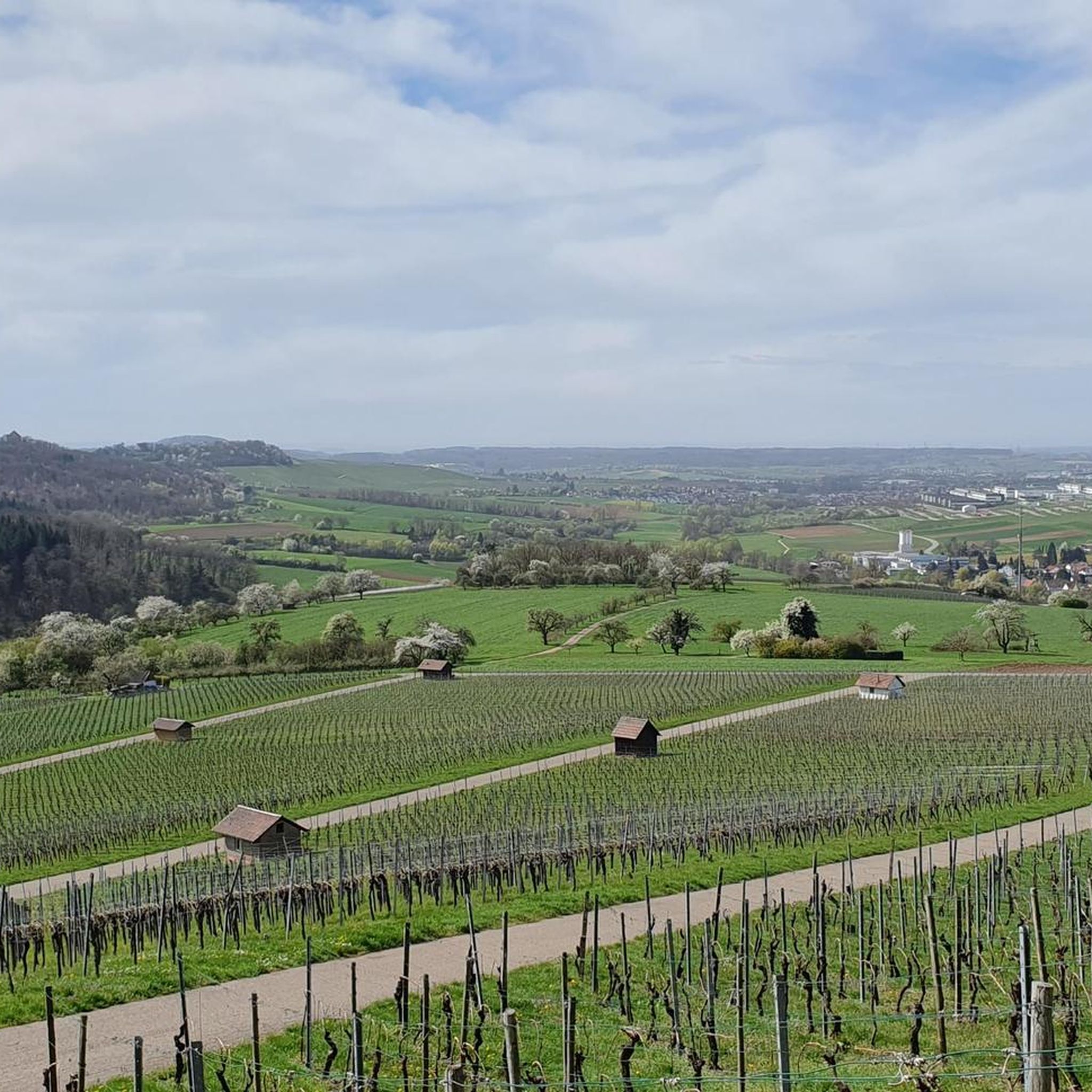
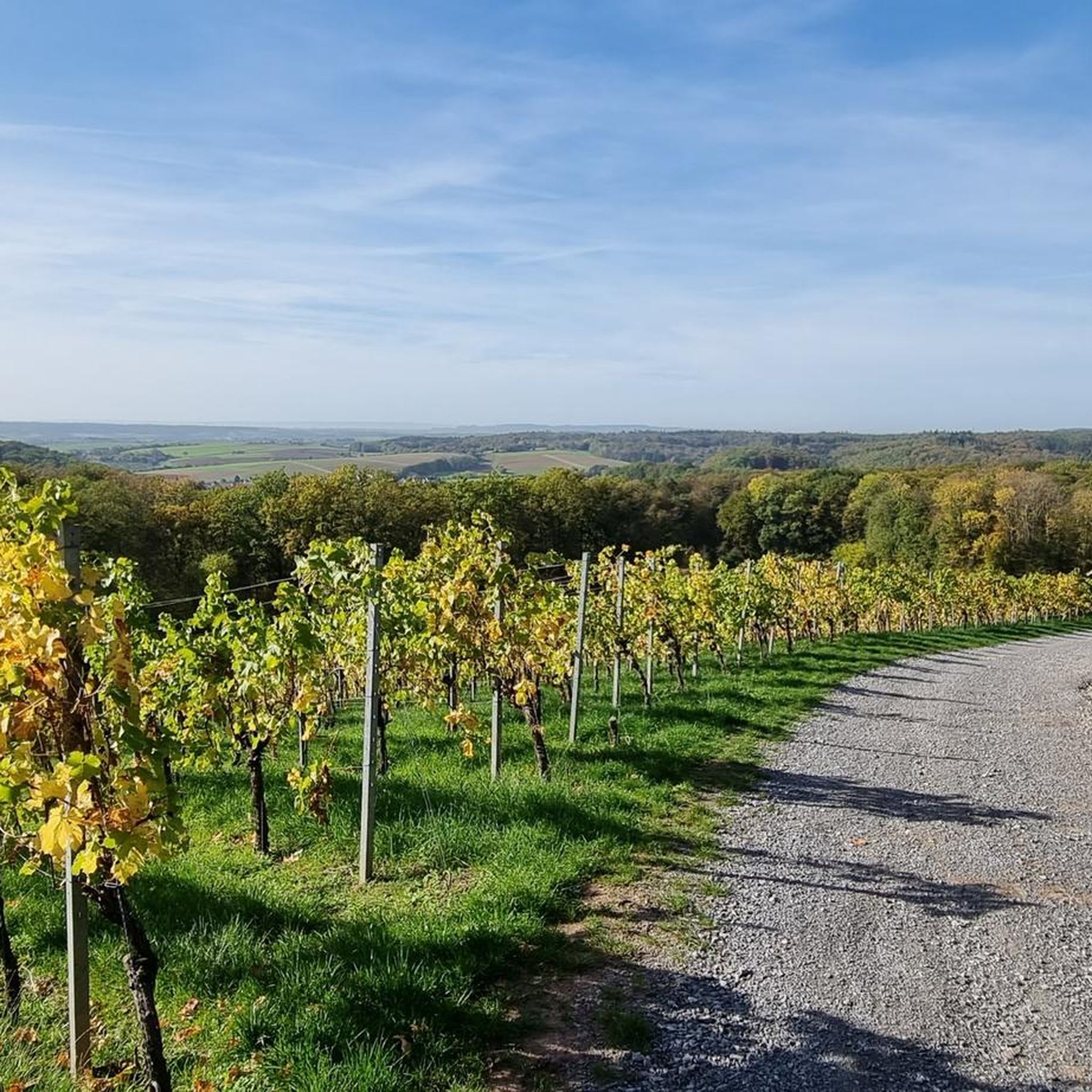
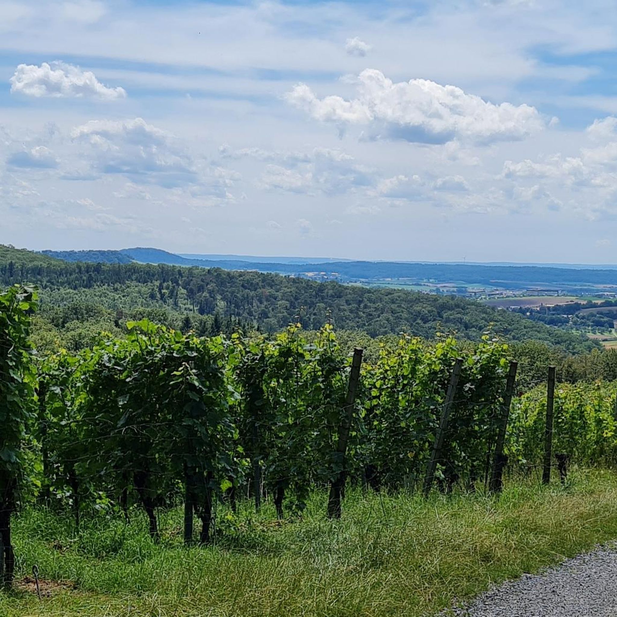
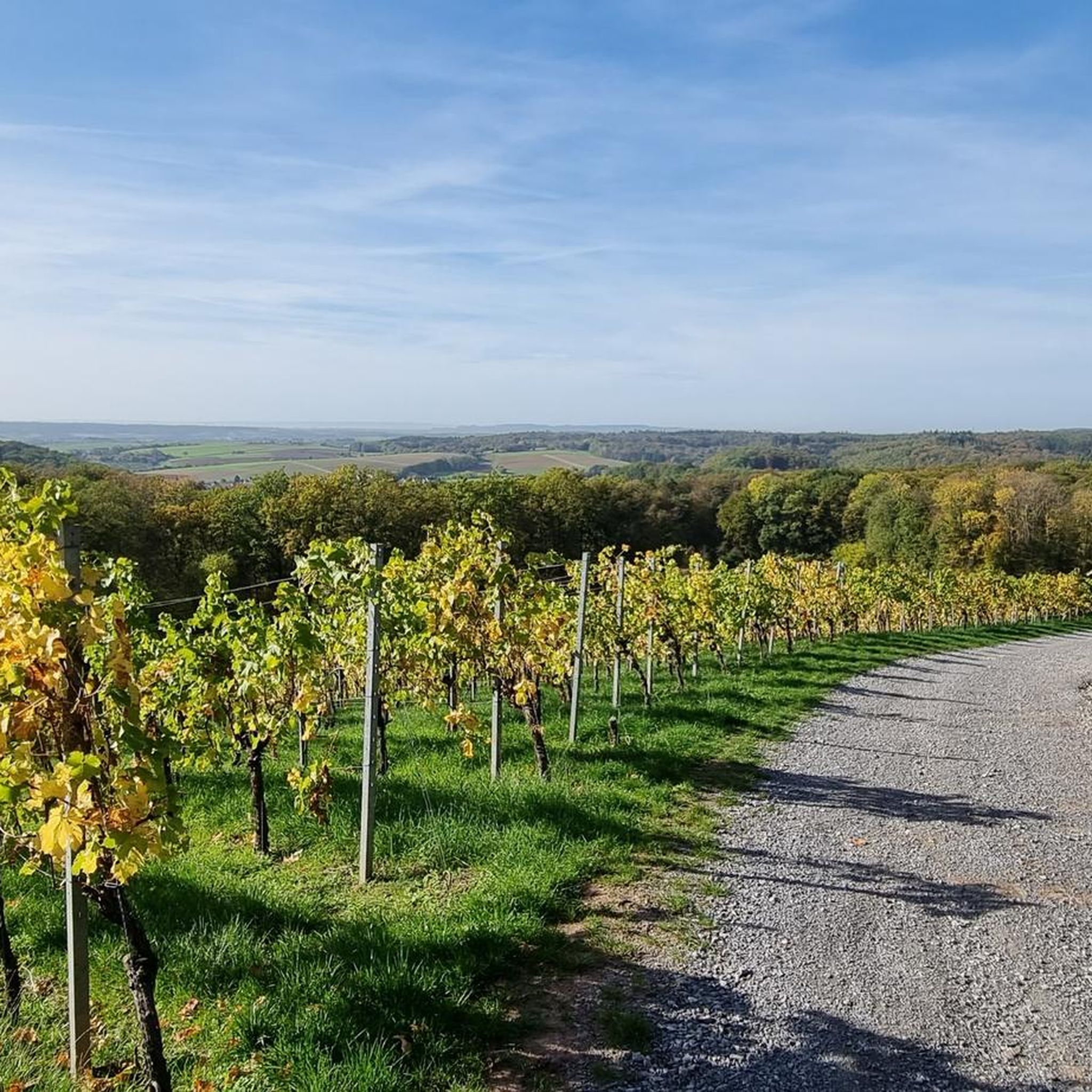

Tips from the Community

The language of the following quote may seem a little dated to us, but surely many hikers will be able to relate to the words of Josef Hofmiller (Dr. phil., 1872-1933): „... that is what hiking is: When do we ever feel so filled with life to the brim, to overflowing, as on a hike? We breathe more freely, our blood pulses more joyfully, the world seems more colorful and richer to us, happiness sings ahead of us from tree to tree like a finch...“
0
0

A welcome passage
1
0

The bench by the pond invites you to take a relaxing rest. Here you can unwind.
0
1
Sturdy shoes!
1
0


Tanzplatzhütte as a large shelter with seating and a different, tent-like design.
6
0

A nice way to cool down in the summer.
0
0

This path is even cooler in summer than the Bodenbach Gorge
4
0
Frequently Asked Questions
What kind of terrain defines mountaineering routes in Grafenwald?
Mountaineering in Grafenwald is characterized by the unique volcanic landscape of the Volcanic Eifel region. You'll find extensive forests, rolling hills, and dramatic geological formations, including ancient maars and basalt rock formations. The routes often feature challenging ascents and descents through varied terrain and scenic river valleys.
Are there mountaineering routes suitable for beginners in Grafenwald?
Yes, Grafenwald offers routes suitable for beginners. An easy option is the Steinernes Sofa loop from Enzwiese, which is 4.2 miles (6.8 km) long and takes about 2 hours to complete, offering a pleasant journey through local woodlands.
What kind of challenges can advanced mountaineers expect in Grafenwald?
For those seeking more challenging terrain, Grafenwald provides routes with significant ascents and descents. The Tobelschlucht Fountain – Tobel Gorge and the Hollow Stone loop from Wüstenrot is a difficult 3.2-mile (5.2 km) trail leading through forested ravines, offering a strenuous experience for advanced mountaineers.
Are there any circular mountaineering routes in Grafenwald?
Yes, many routes in Grafenwald are circular, allowing you to start and end at the same point. Examples include the Steinernes Sofa loop from Enzwiese and the Dance Square on Salzweg – Shelter on the Salzweg loop from Abgebrannte Eiche.
What are some notable landmarks or viewpoints along the mountaineering routes?
The region's volcanic past has created unique features. You might encounter basalt rock formations and scenic viewpoints overlooking the Eifel landscape. Specific attractions nearby include the Stone Egg Sculpture on the Römerweg and the View of the Weinsberger Valley from the cycle bridge over the A81. The area also features picturesque maars, which are volcanic crater lakes.
Can I bring my dog on mountaineering trails in Grafenwald?
Generally, dogs are welcome on most trails in the Grafenwald and Volcanic Eifel region, provided they are kept on a leash, especially in nature protection areas or near wildlife. Always be mindful of local regulations and other hikers.
Are there family-friendly mountaineering options in Grafenwald?
Yes, the region offers routes suitable for families. The easier trails, such as the Steinernes Sofa loop from Enzwiese, provide a good introduction to the landscape without being overly strenuous, making them enjoyable for various age groups.
What is the best time of year for mountaineering in Grafenwald?
The Volcanic Eifel region is beautiful year-round. Spring and autumn offer pleasant temperatures and vibrant scenery, with blooming wildflowers or colorful foliage. Summer is also popular, though trails can be busier. Winter mountaineering is possible, but conditions can be more challenging due to snow or ice.
Are there places to eat or drink near the mountaineering routes in Grafenwald?
Grafenwald and the surrounding Volcanic Eifel region have various villages and towns that offer cafes, pubs, and restaurants where you can refuel after your mountaineering adventure. These establishments often serve local specialties.
Where can I find parking for mountaineering routes in Grafenwald?
Many trailheads in Grafenwald and the wider Volcanic Eifel region offer designated parking areas. Specific parking information is usually available on komoot route pages or local tourism websites for individual trails.
What is the typical elevation gain on mountaineering routes in Grafenwald?
While Grafenwald doesn't feature high alpine peaks, the volcanic landscape ensures varied terrain with noticeable elevation changes. For example, the Dance Square on Salzweg – Shelter on the Salzweg loop from Abgebrannte Eiche involves approximately 186 meters of elevation gain, providing a good workout.
Most popular routes in Grafenwald
Most popular attractions in Grafenwald

Get inspired with the komoot mobile app


Explore more
Browse the best Mountain Hikes & Routes in other regions.
