The best mountain hikes around gmina Bolków
5.0
(3)
27
hikers
6
hikes
Mountaineering routes around gmina Bolków traverse the varied terrain of the Kaczawskie Mountains and their foothills in southwestern Poland. The region features elevations ranging from 260 to 550 meters above sea level, with notable peaks like Poręba (671 m) and Józkowa Góra offering panoramic views. Geological formations, including limestone deposits and features within the Geopark Land of Extinct Volcanoes, contribute to the diverse landscape. Protected areas like the Landscape Park "Chełmy" and Rudawskie Landscape Park preserve natural forest communities and unique rock formations.
Best mountaineering routes around gmina Bolków
- The most popular mountaineering route is Skopiec (724 m) – Shoe Tree at Komarnicka Pass loop from Rezerwat Buczyna storczykowa na Białych Skałach, a 1.1 miles (1.7 km) trail that takes 31 minutes to complete, featuring a gentle ascent.
- Another top favourite among local mountaineers is Ostra Mała Viewpoint – View from Ostra Mala loop from Rudawy Landscape Park, a difficult 10.4 miles (16.8 km) path. This route offers significant elevation gain through the scenic Rudawy Landscape Park.
- Local mountaineers also love the Bolczów Castle Ruins loop from Zamek Bolczów, a 3.6 miles (5.8 km) trail leading through forested areas to historical ruins, often completed in about 1 hour 54 minutes.
- Mountaineering around gmina Bolków is defined by the Kaczawskie Mountains, diverse geological formations, and protected forest reserves. The network offers options for various ability levels, from easy loops to more challenging ascents.
- The routes in gmina Bolków are highly rated by the komoot community with an average score of 5.0 stars from 2 reviews. More than 20 mountaineers have used komoot to explore gmina Bolków's varied terrain.
Last updated: October 18, 2026
5.0
(2)
8
hikers
Easy mountaineering route. Great for any fitness level. Easily-accessible paths. Suitable for all skill levels.
6
hikers
16.8km
05:15
630m
630m
Hard mountaineering route. Very good fitness required. Easily-accessible paths. Suitable for all skill levels.

6
hikers
6.36km
02:03
260m
260m
Moderate mountaineering route. Good fitness required. Easily-accessible paths. Suitable for all skill levels.
3
hikers
9.18km
02:51
350m
350m
Moderate mountaineering route. Good fitness required. Easily-accessible paths. Suitable for all skill levels.
5.0
(1)
4
hikers
Easy mountaineering route. Great for any fitness level. Easily-accessible paths. Suitable for all skill levels.
Our route recommendations are based on thousands of hikes, rides, and runs completed by other people on komoot.
Start today with a free account
Your next adventure awaits.
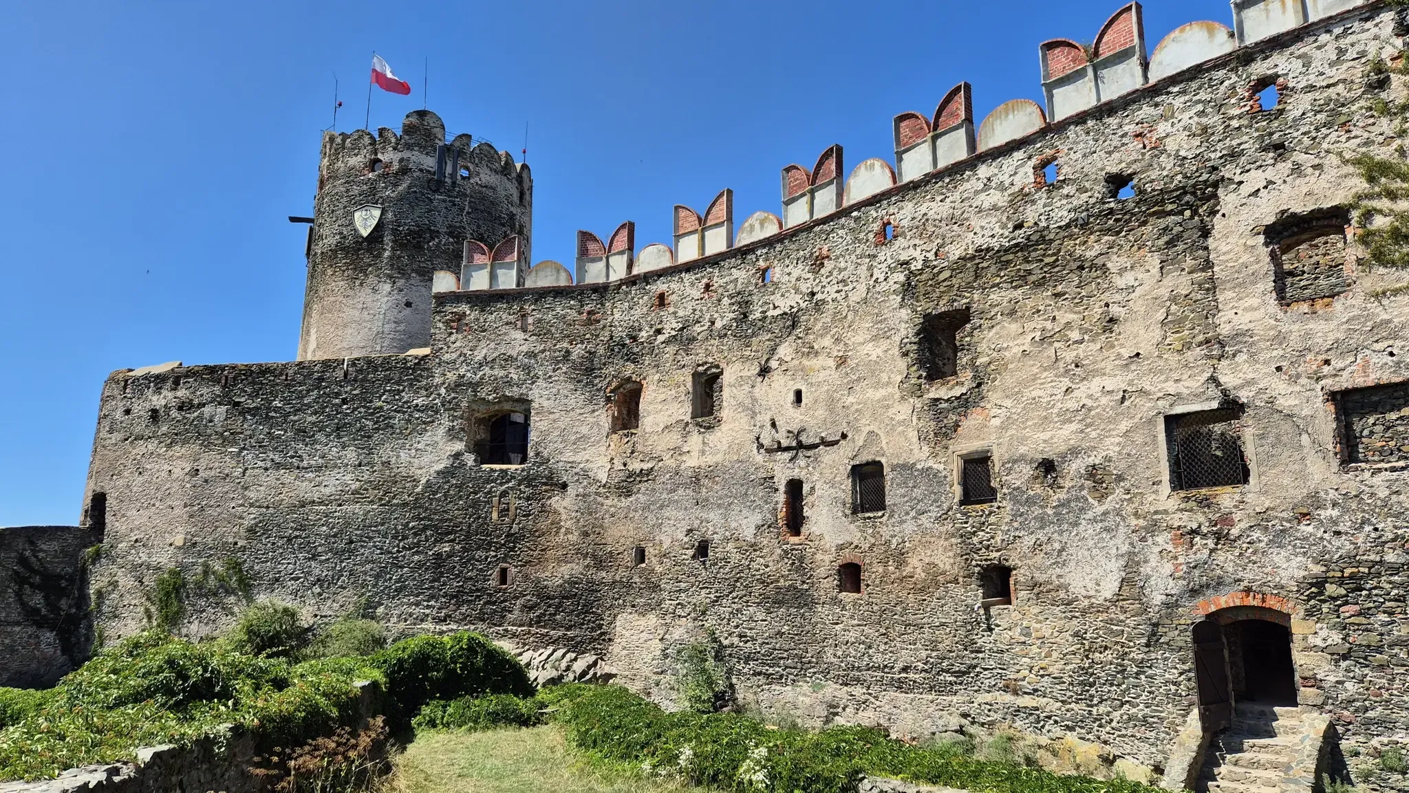
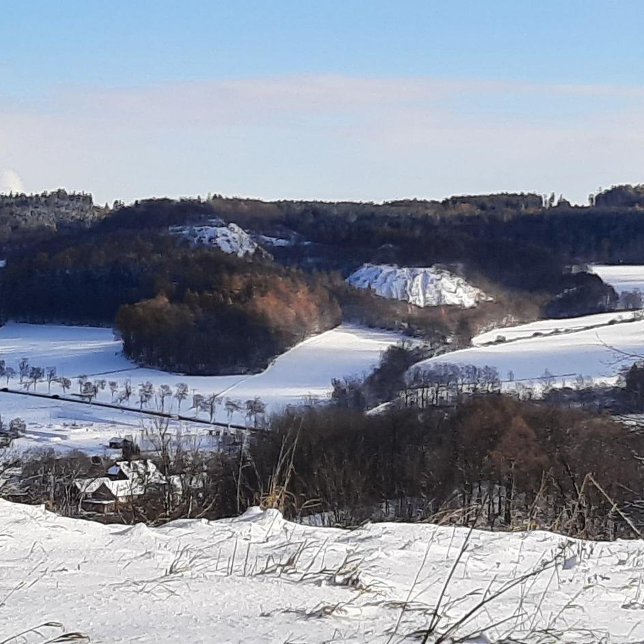
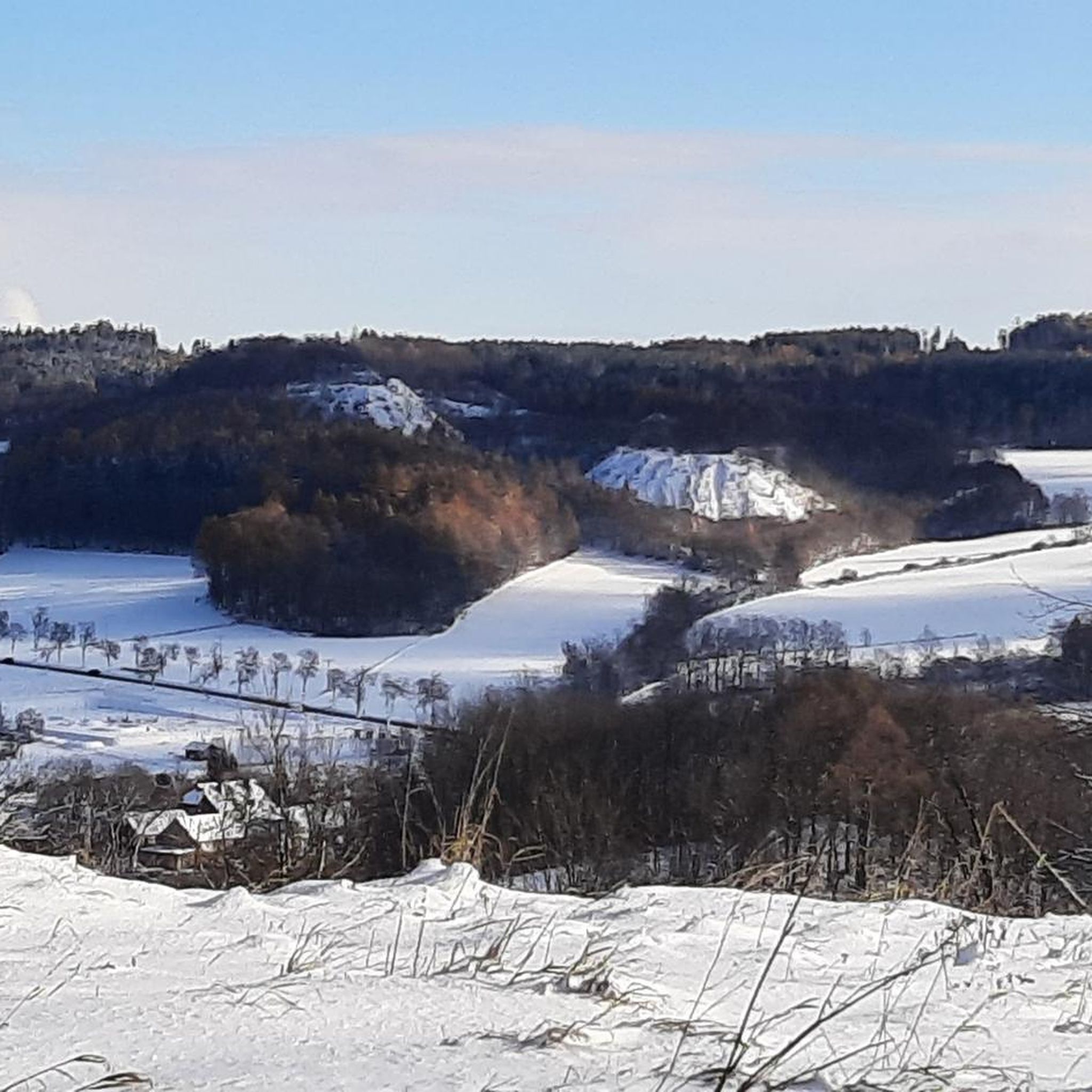
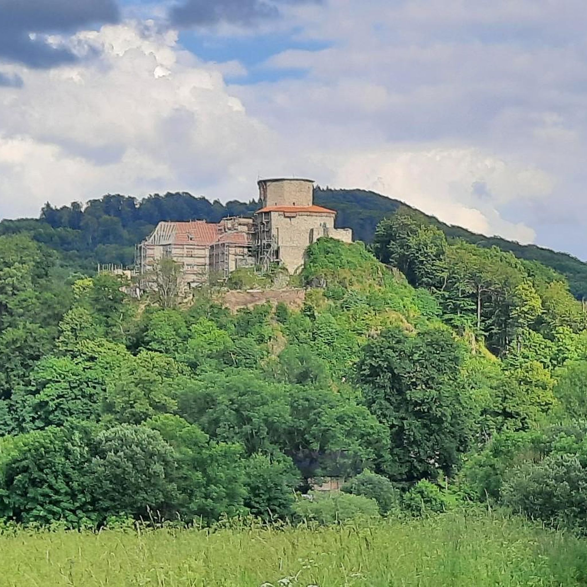
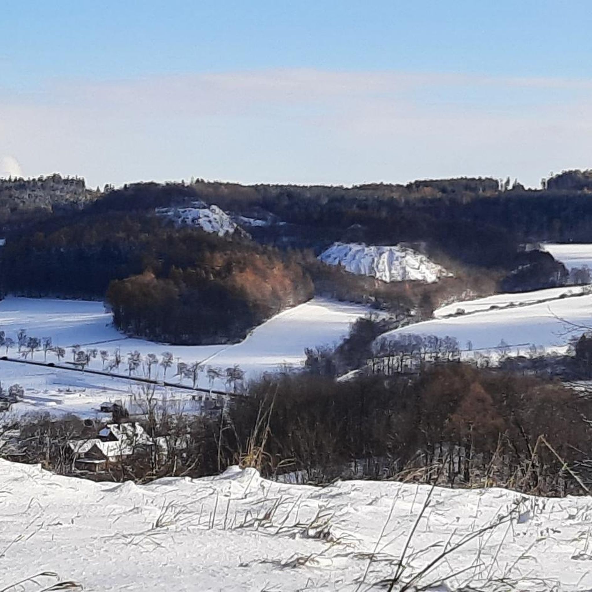
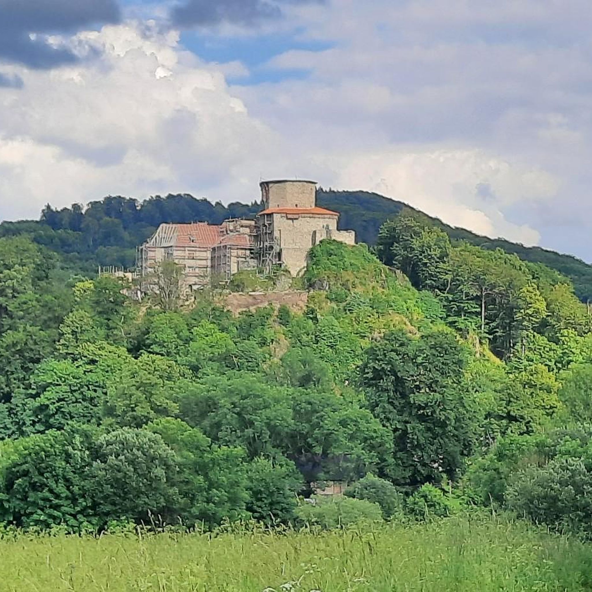

Other adventures around gmina Bolków

Tips from the Community

you have to walk uphill to the blue lake
1
0

You have a beautiful view from here. Only the green lake has dried up, at least for now.
1
0
Worth seeing. The lake has a great intense color.
2
0

Very pleasant trail, ideal for starting hikes after the winter stagnation.
0
0

A fantastic castle built on solid rock, a beautiful site in any season. It commands respect for those who built it in the 14th century (yes, over 600 years ago!)
1
0

Hiking Trail with challenging S3 rock elements, most S2 Parts and short bit is S1 only. no uphill!
0
0

Rudawy Janowickie by bike or on foot
0
0

Absolutely incredible rock formation. Is it even real? Only at the top do the rocks connect, and beyond that everything has two colossal walls. Everything carved out naturally! Extraordinary.
0
0
Frequently Asked Questions
How many mountaineering routes are available in gmina Bolków?
There are currently 7 mountaineering routes around gmina Bolków listed on komoot, offering a variety of experiences for different skill levels.
Are there any easy mountaineering routes suitable for beginners or families in gmina Bolków?
Yes, gmina Bolków offers several easy mountaineering routes. A great option is the Bolczów Castle Ruins loop from Zamek Bolczów, which is 5.8 km long and takes about 1 hour 54 minutes, leading through forested areas to historical ruins. Another easy choice is the Skopiec (724 m) – Shoe Tree at Komarnicka Pass loop from Rezerwat Buczyna storczykowa na Białych Skałach, a shorter 1.7 km trail with a gentle ascent.
What kind of natural features can I expect to see on mountaineering routes in gmina Bolków?
Gmina Bolków is rich in diverse natural features. You'll encounter the varied terrain of the Kaczawskie Mountains, including peaks like Poręba (671 m) and Józkowa Góra, which offer panoramic views. The region is also part of the Geopark Land of Extinct Volcanoes, featuring unique geological formations such as limestone deposits, the 'Red Rock' near Mysłów, and picturesque gorges like Lipa Gorge. Protected areas like the Landscape Park 'Chełmy' and Rudawskie Landscape Park preserve natural forest communities and diverse flora.
Are there any challenging mountaineering routes for experienced hikers?
Absolutely. For those seeking a more demanding experience, the Ostra Mała Viewpoint – View from Ostra Mala loop from Rudawy Landscape Park is a difficult 16.8 km path with significant elevation gain, offering a rewarding challenge through the scenic Rudawy Landscape Park.
What historical landmarks or attractions can I visit near the mountaineering trails?
The region is dotted with historical sites. A prominent landmark is the medieval Bolków Castle, perched on Castle Hill, offering panoramic views. You can also explore the Bolczów Castle Ruins, which is directly accessible via a mountaineering route. Other nearby attractions include Wojanów Palace and Lomnica Palace, adding a cultural dimension to your outdoor adventure.
Are there any circular mountaineering routes in gmina Bolków?
Yes, many of the mountaineering routes in gmina Bolków are designed as loops, allowing you to start and end at the same point. Examples include the easy Bolczów Castle Ruins loop from Zamek Bolczów and the more challenging Ostra Mała Viewpoint – View from Ostra Mala loop from Rudawy Landscape Park.
What do other mountaineers say about the routes in gmina Bolków?
The mountaineering routes in gmina Bolków are highly rated by the komoot community, with an average score of 5.0 stars. While there are currently only a few reviews, they highlight the varied terrain and scenic beauty of the Kaczawskie Mountains.
Are there any specific geological points of interest along the routes?
The area is exceptionally rich geologically. You can find features like the 'Red Rock' near Mysłów, described as a wall-shaped rock, and various formations within the Geopark Land of Extinct Volcanoes. The region's substantial limestone deposits and volcanic rock formations, such as those found in the Dead Gorge (Świny), offer unique geological insights.
Are there any viewpoints or panoramic spots on the mountaineering trails?
Yes, several routes lead to excellent viewpoints. Józkowa Góra is known for its incredible panoramic views. Additionally, the Ostra Mała Viewpoint route offers stunning vistas over the Rudawy Landscape Park. Bolków Castle itself provides a dramatic vantage point over the town and parts of the Sudetes.
What kind of protected natural areas can I explore while mountaineering?
A significant portion of gmina Bolków lies within protected zones, including the Landscape Park 'Chełmy' and Rudawskie Landscape Park. You can also find valuable nature reserves like Lipa Ravine (Wąwóz Lipy), known for its natural forest communities and rich flora, and the 'Buki Sudeckie' forest reserve, which protects fertile Sudetes beech wood.
Is there a moderate difficulty mountaineering route available?
Yes, for those looking for a moderate challenge, the Purple Pond – Blue Pond (Błękitne Jeziorko) loop from Wieściszowice is a great option. It's 9.3 km long and typically takes around 2 hours 52 minutes to complete, offering a balanced experience of ascent and descent.
Most popular routes around gmina Bolków
Most popular attractions around gmina Bolków

Get inspired with the komoot mobile app


