The best mountain hikes around Grad Novi Vinodolski
5.0
(5)
19
hikers
7
hikes
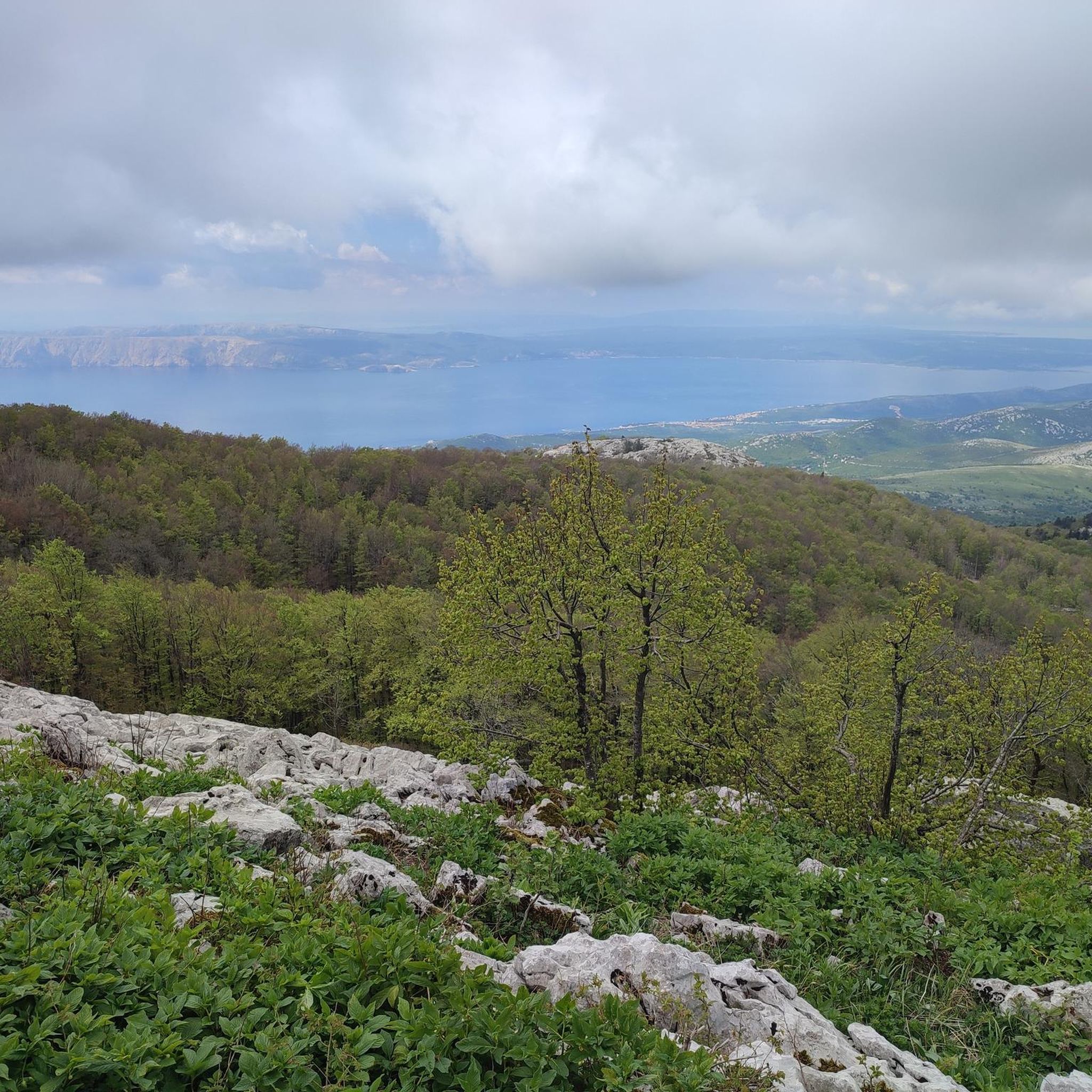
Mountaineering routes around Grad Novi Vinodolski traverse a diverse landscape, characterized by a blend of coastal proximity, hilly ridges, and higher mountain peaks. The region features extensive networks of trails winding through pine forests, rocky areas, and mountain meadows. Notable peaks like Strilež (1,381 m) and Viševica (1,428 m) offer significant elevation gains and expansive views of the Adriatic Sea and surrounding mountains. The terrain includes both low hilly ridges separating the Vinodol valley from the sea and steep rocky…
Last updated: July 1, 2026
5.0
(1)
4
hikers
Hard mountaineering route. Good fitness required. Sure-footedness, sturdy shoes and alpine experience required.
5.0
(1)
5
hikers
Hard mountaineering route. Good fitness required. Sure-footedness, sturdy shoes and alpine experience required.

Sign up for free
2
hikers
4.85km
01:43
230m
230m
Moderate mountaineering route. Great for any fitness level. Mostly accessible paths. Sure-footedness required.
2
hikers
13.7km
05:17
910m
910m
Hard mountaineering route. Very good fitness required. Mostly accessible paths. Sure-footedness required.
5.0
(3)
4
hikers
7.34km
02:16
250m
250m
Moderate mountaineering route. Good fitness required. Easily-accessible paths. Suitable for all skill levels.
1
hikers
11.3km
03:43
490m
490m
Moderate mountaineering route. Good fitness required. Easily-accessible paths. Suitable for all skill levels.
1
hikers
Moderate mountaineering route. Great for any fitness level. Mostly accessible paths. Sure-footedness required.
Our route recommendations are based on thousands of hikes, rides, and runs completed by other people on komoot.
Start today with a free account
Your next adventure awaits.
Login or Signup
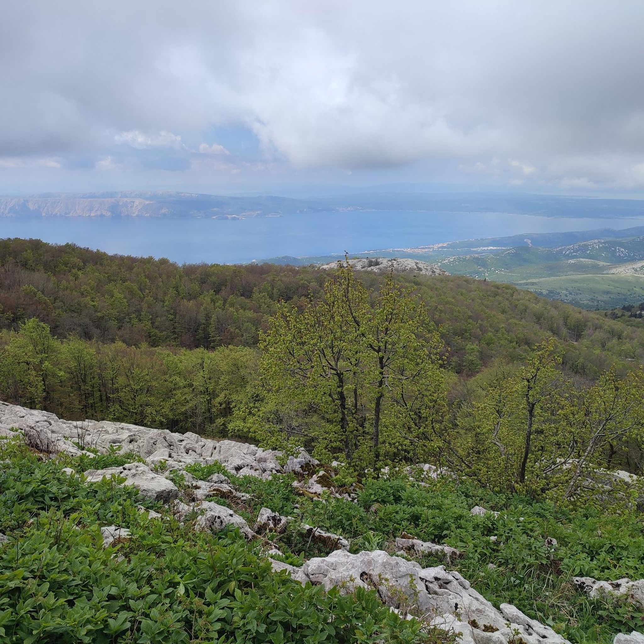
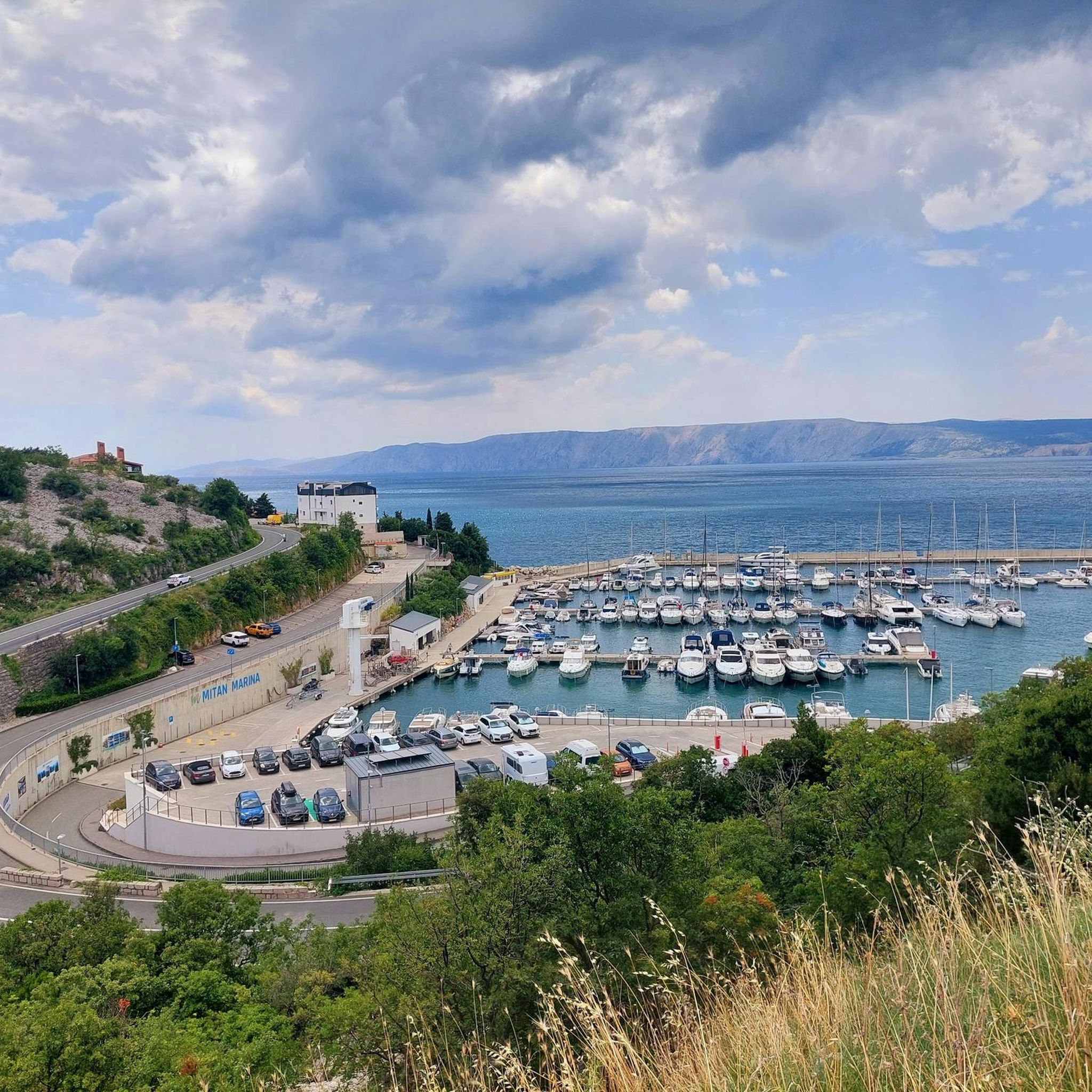
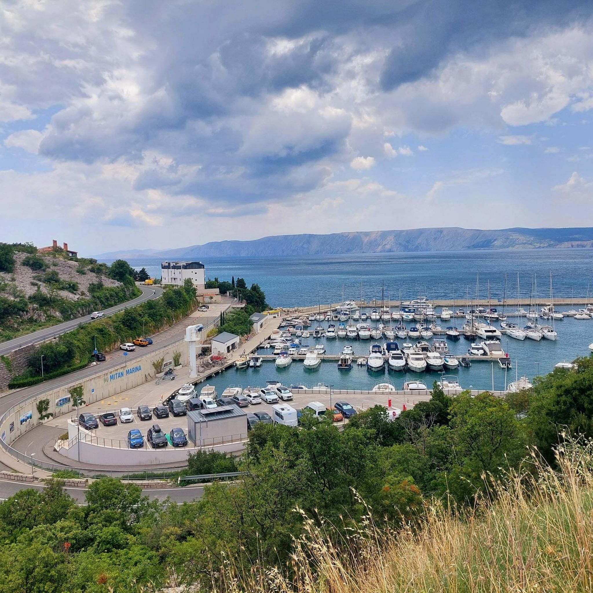
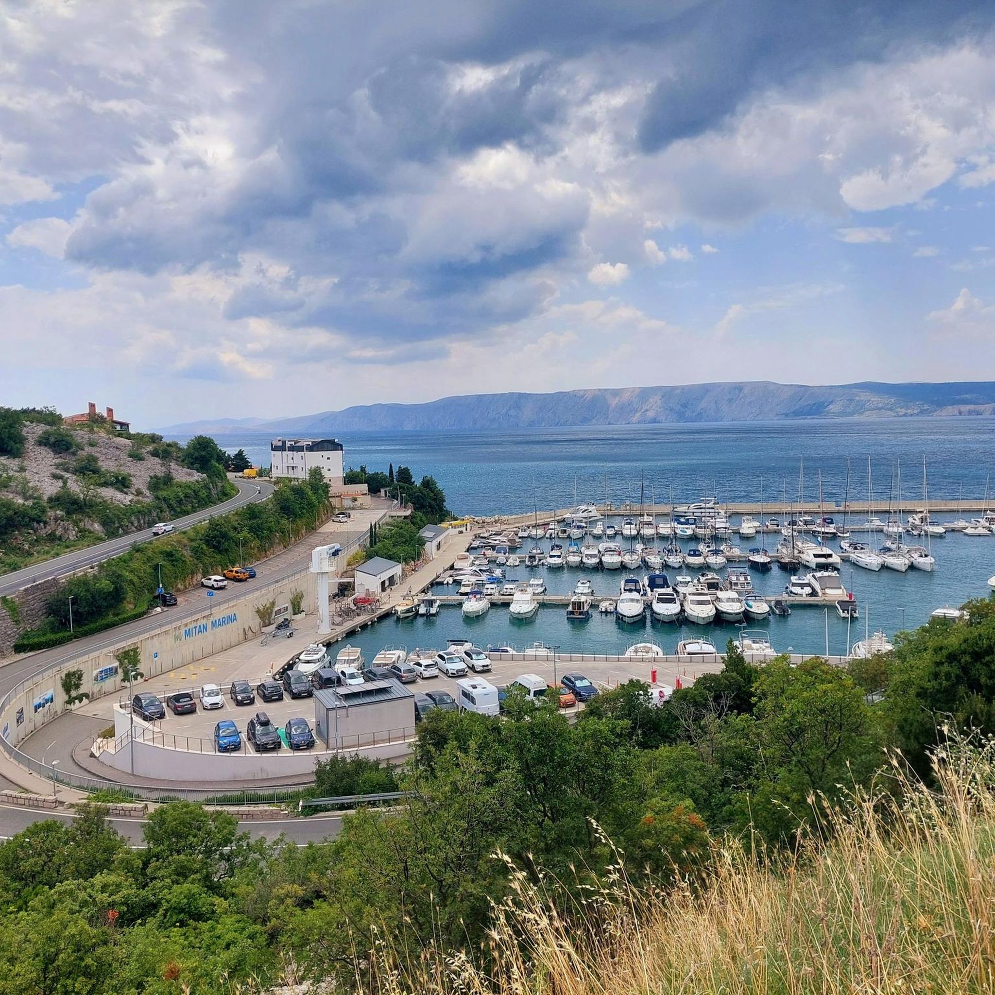
Tips from the Community

The best way to get here is the hike path, not the gravel road.
0
1

It's a pretty bad road, but you can go up slowly in the first one, even with a small car
2
0

The closest approach to the shelter and the house on Bijeli stijene is by car. The road is mountainous, bad, but passable. A raised car is recommended, but you can also use a regular car.
1
0
The house is maintained by the Kapela Mountaineering Society from Zagreb. It is open during duty hours (https://www.hpd-kapela.hr/nase-kuce) or by appointment. There are a dozen places to sleep, and more can be squeezed in. The hosts are very friendly, call and make an arrangement.
0
0

The ruins are easy to reach via the “Love Path”. You have a beautiful view from the ruins 😎.
1
0

Works on weekends, beer and tea avaliable
2
0
The Love Path is a very beautiful hiking trail to the ruins of Badanj Castle 😎🌲. This path is also easily accessible with sneakers 👟. The love path leads through the valley with a great view of the mountains 😎😊👍 .
1
1
There is always a free place to sleep
2
0
Frequently Asked Questions
How many mountaineering routes are available around Grad Novi Vinodolski?
There are 7 distinct mountaineering routes in the Grad Novi Vinodolski area, offering a range of experiences from moderate climbs to more challenging expeditions. These trails traverse diverse landscapes, including coastal paths, hilly ridges, and higher mountain peaks.
What kind of terrain can I expect on mountaineering routes in Grad Novi Vinodolski?
The terrain is quite varied, ranging from low hilly ridges separating the Vinodol valley from the sea to steep rocky cliffs and higher mountain peaks. You'll encounter pine forests, rocky areas, and mountain meadows, with some routes leading through beech and spruce forests at higher elevations. The region offers a blend of coastal views and challenging mountain ascents.
Are there any moderate mountaineering routes suitable for those with some experience?
Yes, there are several moderate routes. For instance, the Vrh Samarskih stijena – Piramida loop from Bijele i Samarske stijene is a moderate 3.0-mile (4.8 km) trail that takes about 1 hour 42 minutes, leading through rocky formations and mountain plateaus. Another option is the Strilež Peak loop from Ravno, which is 11.3 km long and offers significant elevation gain over approximately 3 hours 42 minutes.
Which routes offer the most challenging mountaineering experiences?
For a more challenging experience, consider routes like the Mountaineering loop from Bijele i Samarske stijene, which is a difficult 6.4 km route with nearly 400 meters of elevation gain, typically taking over 2 hours 45 minutes. Another demanding option is the Dragutin Hirc Mountain Hut – White Rocks Trailhead loop from Bijele i Samarske stijene, a difficult 7.0 km trail with similar elevation, taking around 2 hours 52 minutes.
Are there any circular mountaineering routes in the area?
Many of the mountaineering routes around Grad Novi Vinodolski are designed as loops, allowing you to start and end at the same point. Examples include the Vrh Samarskih stijena – Bijele i Samarske stijene loop from Bijele i Samarske stijene, a moderate 3.8 km trail, and the more challenging Mountaineering loop from Bijele i Samarske stijene.
What are some notable landmarks or viewpoints I can expect to see on these routes?
Mountaineering routes in this region often provide stunning views of the Adriatic Sea, Kvarner Bay islands, and the Velebit and Učka mountains. Along some trails, you might encounter historical sites like Badanj Fort. Specific natural features to look out for include the dramatic Kapelica Amphitheater, a valley surrounded by high rocks, and the unique Slonova Brada (Elephant's Beard) Rock. Many trails also lead to summits like Stepenica Summit, Bijele i Samarske Stijene, offering panoramic vistas.
Is the Grad Novi Vinodolski area suitable for family-friendly mountaineering?
While many routes are geared towards experienced mountaineers, the broader region offers diverse terrain. For families, it's advisable to look for shorter, less steep sections or coastal paths. The
What is the best time of year for mountaineering in Grad Novi Vinodolski?
The mild and pleasant climate in Grad Novi Vinodolski allows for outdoor sports activities almost year-round. However, spring and autumn generally offer the most comfortable temperatures for mountaineering, avoiding the peak summer heat and potential winter snow at higher elevations. These seasons also provide lush greenery or vibrant autumn colors.
Are there any specific natural monuments or unique geological formations to explore?
Absolutely. The region is home to several unique natural features. The Kapelica Amphitheater is a striking valley surrounded by high rocks, creating a dramatic natural setting. You can also discover the distinctive Slonova Brada (Elephant's Beard) Rock. Many routes also pass by summits like Kolovratska Stijena Summit, which are natural landmarks in themselves.
What do other mountaineers say about the routes in Grad Novi Vinodolski?
The mountaineering routes in Grad Novi Vinodolski are highly regarded by the komoot community, boasting an average rating of 5.0 stars from over 5 reviews. More than 18 mountaineers have used komoot to explore this varied terrain, often praising the stunning coastal views, dense forests, and the challenging yet rewarding mountain ascents.
Are there any routes that combine natural beauty with historical elements?
Yes, some trails in the region beautifully integrate natural scenery with historical landmarks. For example, the Ruins of Badanj Castle loop from Crikvenica is a moderate 4.3-mile (6.9 km) path that offers a blend of natural beauty and historical sites, taking about 2 hours 8 minutes to complete. Many trails also pass by medieval fortresses and old towns, adding a cultural dimension to your outdoor adventure.
Most popular routes around Grad Novi Vinodolski
Most popular attractions around Grad Novi Vinodolski

Get inspired with the komoot mobile app


Explore more
Browse the best Mountain Hikes & Routes in other regions.
