The best walks and hikes in Karlsruhe
4.6
(21137)
88,091
hikers
4,696
hikes
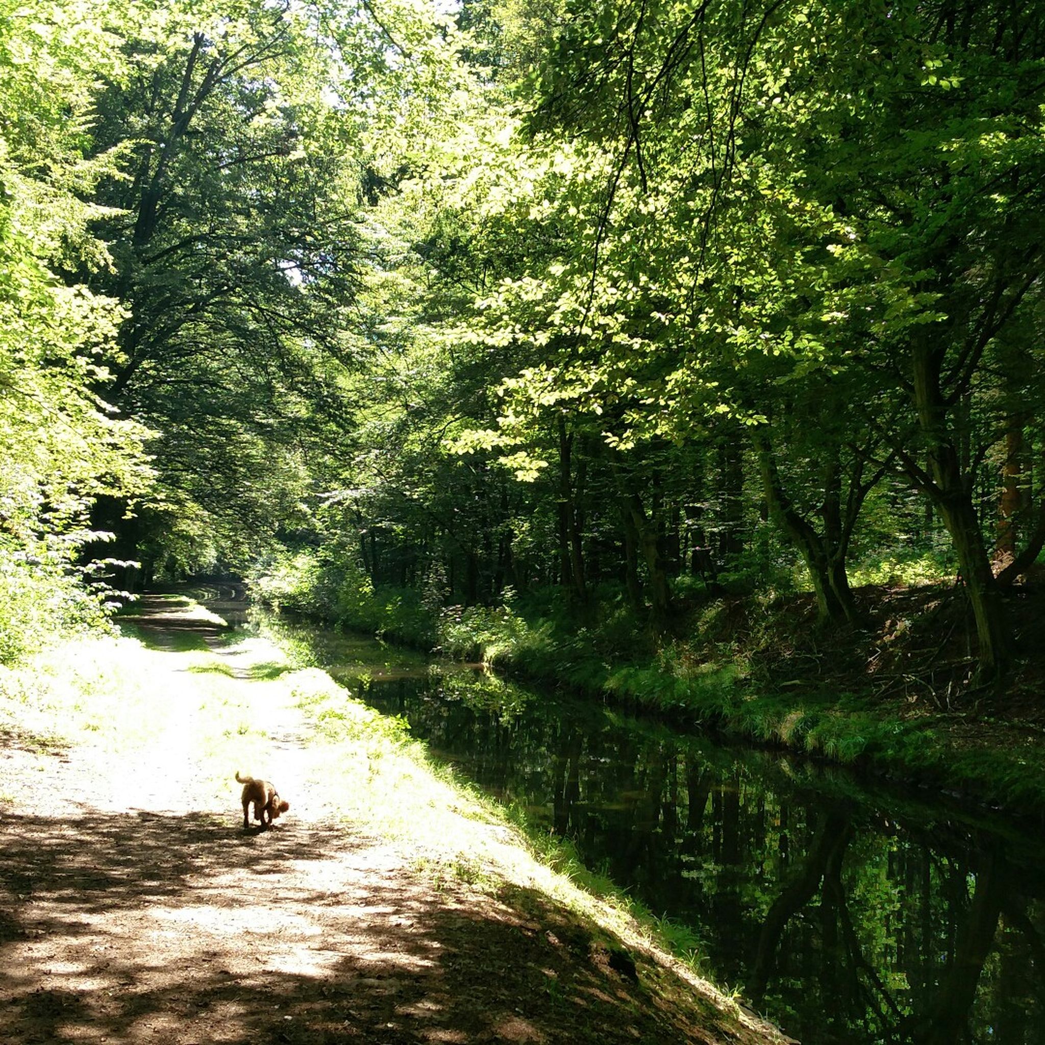
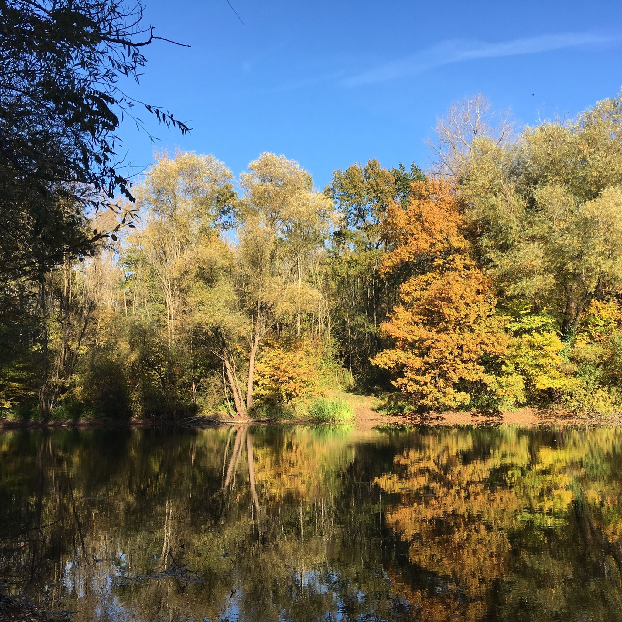
Hiking in Karlsruhe offers access to diverse landscapes, including the northern reaches of the Black Forest, serene Rhine floodplains, and extensive urban forests. The region is characterized by gentle hills, riparian forests, and varied terrain suitable for outdoor activities. The Alb Valley provides trails through natural beauty and cultural history, while the nearby Palatinate Forest features hilly terrain and sandstone formations.
Best hiking trails in Karlsruhe
- The most popular hiking route is OD3 - Bernhardsweiher Tour, a 2.5 miles (4.1 km) trail that takes 1 hour 6 minutes to complete. This easy path winds through local woodlands and near water bodies.
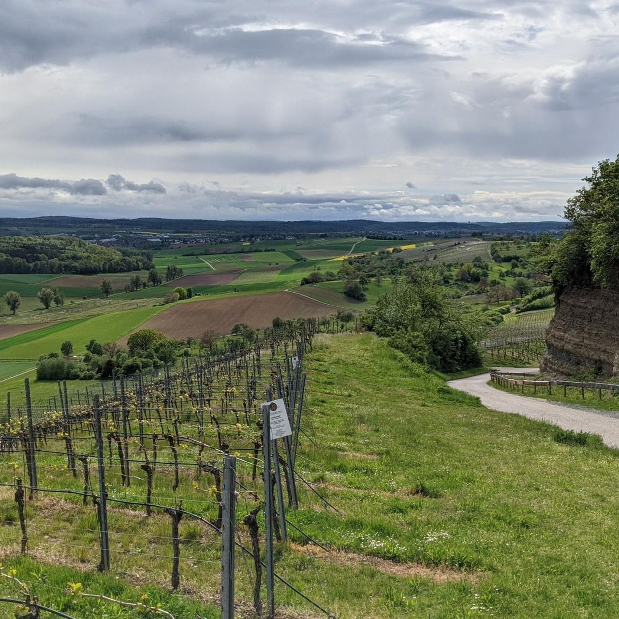
- Another top favourite among local hikers is Kürnbach Vineyard Tour, an easy 3.6 miles (5.7 km) path. This route offers views of vineyard landscapes and takes about 1 hour 36 minutes.
- Local hikers also love the Qualitätsweg "Stadt, Wald, Fluss", a 4.6 miles (7.5 km) trail leading through urban areas, forests, and along the river, often completed in about 2 hours 7 minutes.
- Hiking in Karlsruhe is defined by the Black Forest Central/North Nature Park, the Rhine floodplains, and urban forests like the Hardtwald. The network offers options for various ability levels, from easy walks to more challenging routes.
- The routes in Karlsruhe are highly rated by the komoot community with an average score of 4.6 stars from over 18,000 reviews. More than 87,000 hikers have used komoot to explore Karlsruhe's varied terrain.
Last updated: October 13, 2026
4.8
(292)
857
hikers
7.74km
02:09
140m
140m
Moderate hike. Good fitness required. Mostly accessible paths. Sure-footedness required.
4.8
(206)
672
hikers
13.2km
03:35
190m
190m
Moderate hike. Good fitness required. Mostly accessible paths. Sure-footedness required.

4.7
(194)
653
hikers
9.21km
02:36
190m
190m
Moderate hike. Good fitness required. Easily-accessible paths. Suitable for all skill levels.
4.5
(123)
389
hikers
7.38km
02:06
160m
160m
Moderate hike. Good fitness required. Easily-accessible paths. Suitable for all skill levels.
4.5
(125)
380
hikers
6.99km
02:01
180m
180m
Moderate hike. Good fitness required. Easily-accessible paths. Suitable for all skill levels.
4.6
(125)
327
hikers
11.0km
02:59
150m
160m
Moderate hike. Good fitness required. Mostly accessible paths. Sure-footedness required.
4.8
(103)
391
hikers
4.09km
01:06
50m
60m
Easy hike. Great for any fitness level. Easily-accessible paths. Suitable for all skill levels.
4.7
(81)
279
hikers
5.74km
01:36
110m
110m
Easy hike. Great for any fitness level. Easily-accessible paths. Suitable for all skill levels.
4.5
(69)
234
hikers
14.3km
03:55
220m
220m
Moderate hike. Good fitness required. Mostly accessible paths. Sure-footedness required.
4.8
(50)
161
hikers
16.4km
04:33
280m
280m
Moderate hike. Good fitness required. Easily-accessible paths. Suitable for all skill levels.
Get access to more routes and recommendations from other explorers.
Already have an account?
Our route recommendations are based on thousands of hikes, rides, and runs completed by other people on komoot.
Start today with a free account
Your next adventure awaits.
Popular around Karlsruhe
Other adventures in Karlsruhe


Tips from the Community

The fountain dates from the 16th century, the figure holds the state and city coat of arms. The fountain has been moved several times over the centuries and now has a beautiful spot on the Alb-Promenade. The figure is a replica, the original is in the museum.
3
0
Exciting installation with two larger-than-life, moving mirrors relating to this historic site on the Eppinger Linie (a metal plaque provides information).
4
0
Beautiful view over the vineyards to the Ravensburg, which is only about 10 minutes' walk away from here
3
0

The pass at Derdinger Horn, located at an altitude of 287 meters, towers above Oberderdingen between vineyards and forest – with a wide view over the Kraichgau. Take a selfie in front of the pass sign and upload it to the Wall of Fame (via the QR code on the pass sign or via the website www.imsuedenganzoben.de/kraichgau-stromberg/de/huegel-paesse).
0
0

Seating area above the vineyards with a good view of the Bernhardsweiher below, created in the 13th century by monks, as well as the surrounding landscape.
3
0

Beautiful view over Sulzfeld
0
0
The memorial by Ettlingen sculptor Volker Erhard, also known as Voré, was erected in 1969 by order of the municipality of Ruit to commemorate the victims of the wars. Unfortunately, the memorial has been increasingly vandalized in recent years, so that it is now secured by a construction fence.
4
0
The Ruiter observation tower stands within the boundaries of the town of Knittlingen (formerly Kleinvillars), but on a field belonging to the town of Bretten, acquired by a family from Ruiter. Before the land consolidation in the 1970s and 80s, the site was part of Ruiter's territory; afterwards, it was part of Kleinvillars', because the boundary line was adjusted to follow the field paths. Previously, the border, which was also the state border between Baden and Württemberg, ran right through the newly created plots. On the other side of the district road is Brettener territory, formerly part of Ruiter's. That's where the tower was originally intended to be. However, the field belongs to someone from Kleinvillars, and he didn't want to sell! (His right.) Building the tower on the Ruiter side of the field path that crosses the district road wasn't possible either, because that area is still designated as a village reserve by the nature park. There would have been no subsidy for the tower there. So, the only remaining option for the Badener tower was the site in Swabia. Now borders unite! The coats of arms of the participating towns and villages, as well as the state, adorning the tower are a symbol of unity after all the divisions of past centuries, and a thank you to everyone involved. On a clear day, from the tower you can see the Palatinate Forest and the Phillipsburg nuclear power plant to the northwest, Ravensburg Castle and the Derdinger Horn hill to the northeast, and the Stromberg hills to the east.
6
0
Frequently Asked Questions
How many hiking trails are available in Karlsruhe?
Karlsruhe offers an extensive network of over 4,700 hiking routes. These range from easy strolls through urban forests to more challenging paths in the surrounding hills, ensuring options for all fitness levels.
Are there easy hiking trails suitable for beginners or casual walkers?
Yes, Karlsruhe has over 3,100 easy hiking routes. For a gentle walk, consider the OD3 - Bernhardsweiher Tour, which winds through local woodlands and near water bodies. The Hardtwald and Oberwald urban forests also provide comprehensive, easy path networks.
Can I find family-friendly hiking routes in Karlsruhe?
Absolutely. The K1 - Family Hiking Trail Kraichtal is a great option designed with families in mind. Additionally, the Oberwald features circular trails suitable for beginners and includes attractions like Lake Erlachsee and the Oberwald Zoo, perfect for a family outing.
Are dogs allowed on the hiking trails in Karlsruhe?
Many hiking trails in Karlsruhe are dog-friendly, especially those through the extensive urban forests like the Hardtwald and Oberwald, and the Rhine floodplains. It's always recommended to keep dogs on a leash, especially in nature reserves or areas with wildlife, and to check local regulations for specific trails.
What kind of landscapes can I expect to see while hiking in Karlsruhe?
Karlsruhe's hiking landscape is incredibly diverse. You can explore the northern reaches of the Black Forest, serene Rhine floodplains with riparian forests, and extensive urban forests. The Alb Valley offers gentle hills and cultural history, while the nearby Palatinate Forest features distinctive sandstone formations and hilly terrain.
Are there any circular hiking routes in the Karlsruhe area?
Yes, many routes in Karlsruhe are circular, offering convenient starting and ending points. An example is the Derdinger Horn circular hike. The Oberwald also features several circular trails, ideal for exploring without retracing your steps.
What are some notable natural attractions or landmarks I can visit on a hike?
Karlsruhe's trails often lead to interesting natural features. You can discover several gorges, such as the Ungeheuer Gorge, or visit picturesque waterfalls like the Lickbrunnen Waterfall. The Turmberg, Karlsruhe's local mountain, offers panoramic views and is a popular hiking destination.
Are there options for more challenging hikes near Karlsruhe?
While many trails are easy to moderate, the region also offers more challenging options, particularly as you venture further into the Black Forest Central/North Nature Park or the Palatinate Forest. These areas feature hillier terrain and longer routes for experienced hikers. There are 81 difficult routes in the region.
How can I reach hiking trailheads using public transport?
Karlsruhe has a well-developed public transport network, including trams and buses, that can take you close to many trailheads, especially for urban and peri-urban forests like the Hardtwald and Oberwald. For routes further afield, regional trains often connect to smaller towns that serve as starting points for hikes in the Alb Valley or Black Forest.
When is the best time of year to go hiking in Karlsruhe?
Karlsruhe benefits from a mild climate with around 1800 hours of sunshine per year, making it suitable for hiking year-round. Spring and autumn offer pleasant temperatures and beautiful scenery with blooming flowers or vibrant fall foliage. Summer is great for early morning or late afternoon hikes, while winter can provide unique experiences, especially in the snow-dusted Black Forest foothills.
What do other hikers say about their experience in Karlsruhe?
The hiking routes in Karlsruhe are highly rated by the komoot community, with an average score of 4.6 stars from over 18,000 reviews. Hikers often praise the diverse landscapes, from the quiet woodlands and serene river paths to the charming vineyard views, and the well-maintained trails suitable for various abilities.
Are there less crowded or 'hidden gem' trails in Karlsruhe?
To find less crowded trails, consider exploring the extensive networks within the Hardtwald or Oberwald during off-peak hours, or venture into the smaller, less-known paths within the Alb Valley. The Rhine floodplains, with their nature observation paths like the RheinAUen trail (RAUPE), also offer tranquil experiences away from the busiest spots.
Where can I find parking for hiking trails in Karlsruhe?
Many popular trailheads, especially those leading into the Black Forest or larger nature parks, offer designated parking areas. For urban forest hikes, you can often find street parking or public car parks nearby. It's advisable to check specific route details on komoot for information on parking availability at the starting point of your chosen hike.
Most popular routes in Karlsruhe
Most popular attractions in Karlsruhe

Get inspired with the komoot mobile app


Didn’t find what you were looking for?
Check out more Hikes throughout Karlsruhe below and find the perfect route in your destination.
Explore more
Browse the best Hikes in other regions.
