The best walks and hikes around Karlsdorf-Neuthard
4.6
(158)
756
hikers
86
hikes
Hiking around Karlsdorf-Neuthard offers a diverse landscape situated between the rolling hills of the Kraichgau and the expansive Rhine Valley. The region features a varied topography with picturesque valleys, lush meadows, fields, forests, and vineyards. Notable natural features include the "Bruchwiesen" nature reserve with the Altenbach stream, the Saalbachwiese bird sanctuary, and the Hardtwald forest. The Michaelsberg provides panoramic views over the Rhine plain.
Best hiking trails around Karlsdorf-Neuthard
- The most popular hiking route is Werner Heißler Trail – Sieben-Erlen…
Last updated: July 4, 2026
4.3
(16)
52
hikers
Moderate hike. Good fitness required. Easily-accessible paths. Suitable for all skill levels.
4.4
(14)
46
hikers
Moderate hike. Good fitness required. Easily-accessible paths. Suitable for all skill levels.

Sign up for free
5.0
(1)
45
hikers
Easy hike. Great for any fitness level. Easily-accessible paths. Suitable for all skill levels.
4.0
(8)
37
hikers
Easy hike. Great for any fitness level. Easily-accessible paths. Suitable for all skill levels.
3.0
(1)
43
hikers
Easy hike. Great for any fitness level. Easily-accessible paths. Suitable for all skill levels.
Get access to more routes and recommendations from other explorers.
Sign up for free
Already have an account?
Our route recommendations are based on thousands of hikes, rides, and runs completed by other people on komoot.
Start today with a free account
Your next adventure awaits.
Login or Signup
Tips from the Community

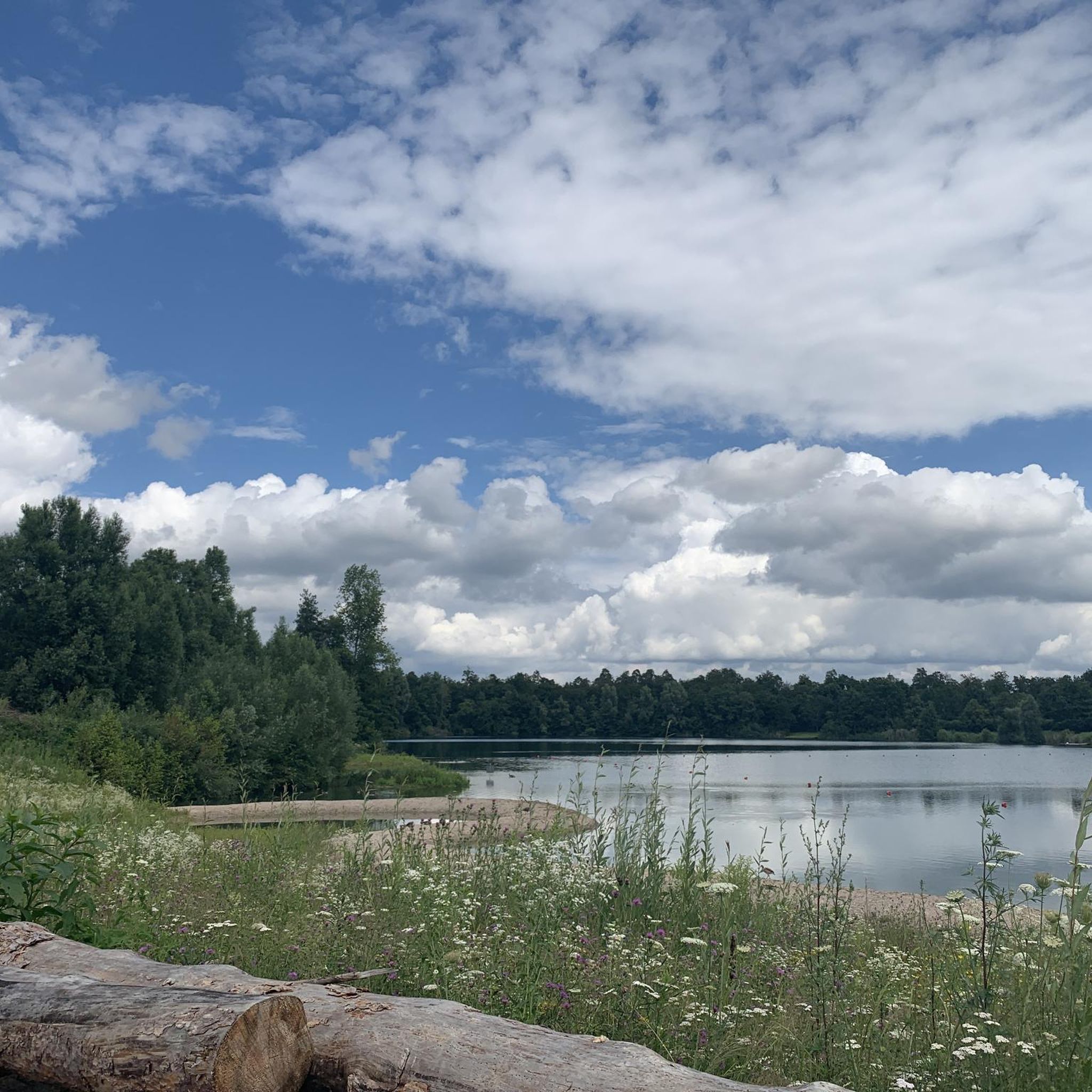
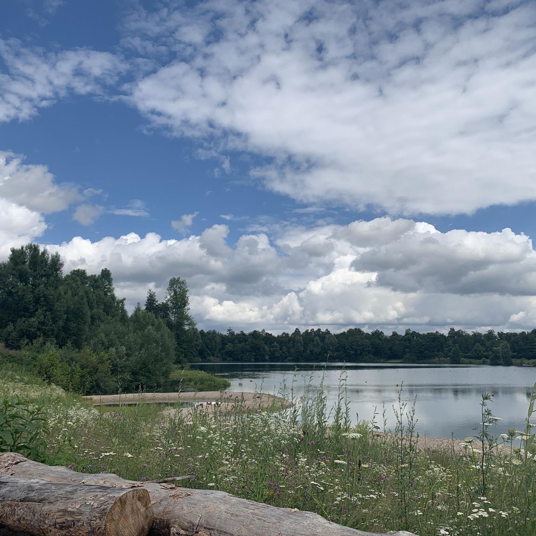
A quiet quarry lake. Ideal for a short break.
0
0

The Saalbach (also Salbach) is an approximately 40-kilometer-long, right-bank and eastern tributary of the Rhine. It originates in Bretten in the Kraichgau region at the confluence of the Weißach and Salzach rivers, enters the Upper Rhine Plain in Bruchsal, and flows into the Rhine north of Philippsburg. Source and further information: https://de.wikipedia.org/wiki/Saalbach_(Rhein)
1
0


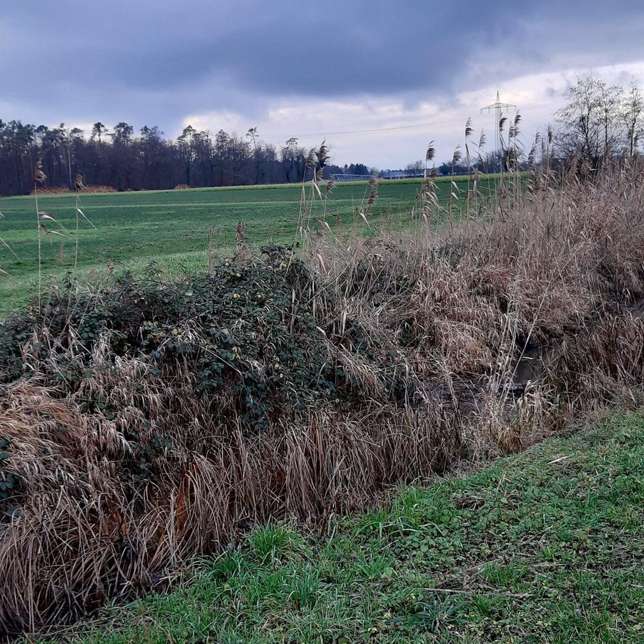
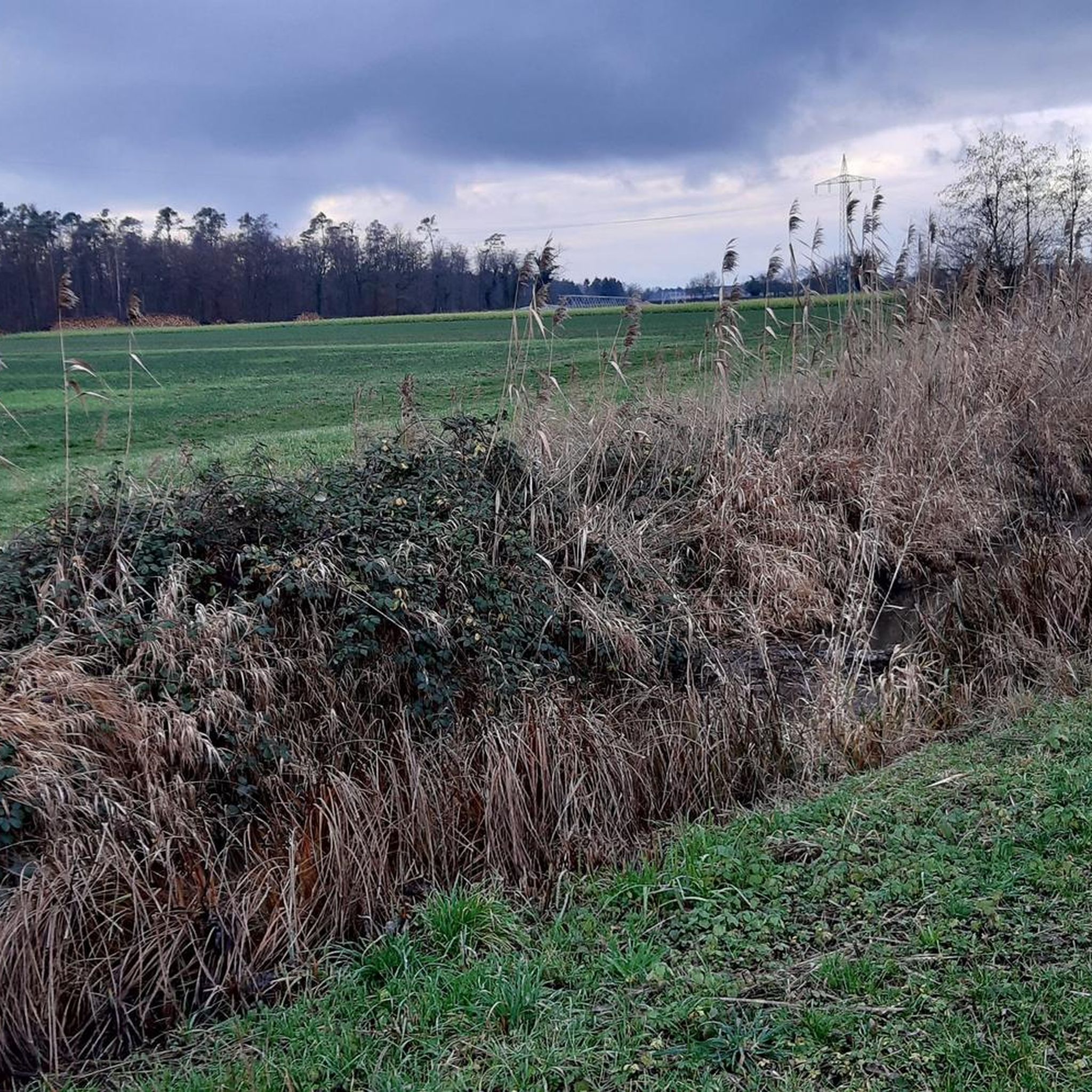
The Pfinz flows past the western bank with a beautiful meadow path next to it. The shore of the lake is a strictly protected nature reserve and cannot be accessed. So you can only guess at the lake from there. The north-eastern part is fenced off by the fishing club. Only on the southern bank are there fishing spots that are not fenced off and a view over the bank barrier.
1
1


Viewed from the right angle, you can also appreciate the area surrounding the quarry 😊
0
0

The lake is not accessible, at least not at the marked spot
2
0

Very nice way along the Pfinz
3
0
Frequently Asked Questions
How many hiking trails are available in Karlsdorf-Neuthard?
Karlsdorf-Neuthard offers a wide selection of hiking routes, with over 70 trails available for exploration. These range from easy strolls to more moderate routes, catering to various fitness levels.
What kind of terrain can I expect on hikes around Karlsdorf-Neuthard?
The region boasts a diverse topography, transitioning from the flat plains of the Rhine Valley to the rolling hills of the Kraichgau. You'll encounter picturesque valleys, lush meadows, fields, forests, and vineyards, offering a varied hiking experience.
Are there any easy or beginner-friendly hiking options?
Yes, Karlsdorf-Neuthard has many easy trails suitable for beginners or those seeking a relaxed walk. For example, the Dirtbike Track Altenburghalle – Crucifix at the waterworks loop from Karlsdorf-Neuthard is an easy 5.1 km route that can be completed in just over an hour, leading through local forests and open areas.
Can I find circular hiking routes in the area?
Absolutely. Many trails in Karlsdorf-Neuthard are designed as loops, allowing you to start and end at the same point. A popular moderate option is the Werner Heißler Trail – Sieben-Erlen Lake loop from Kohlplattenschlag, covering 9.7 km through varied terrain.
What natural features or viewpoints can I discover while hiking?
Hikers can explore the tranquil "Bruchwiesen" nature reserve with the Altenbach stream, the Saalbachwiese bird sanctuary, and the Hardtwald forest. For panoramic views, the Michaelsberg offers expansive vistas over the Rhine plain. You can also find scenic walks through the vineyards around Neuthard and Obergrombach.
Are there any historical sites or attractions near the hiking trails?
Yes, the region offers several points of interest. You can visit the Historic center of Obergrombach, or explore the impressive Bruchsal Palace. These attractions provide a cultural complement to your outdoor adventures.
Is Karlsdorf-Neuthard a good place for family hikes?
Yes, the area is well-suited for families. Many trails are classified as easy with minimal elevation gain, making them accessible for all ages. The "Naturlehrpfad am Hardtwald" (nature trail in the Hardtwald forest) is specifically designed for families with children, offering an engaging way to learn about local plants and animals.
What is the best time of year to go hiking in Karlsdorf-Neuthard?
The best seasons for hiking in Karlsdorf-Neuthard are spring and autumn. During these times, the natural beauty of the region, from vibrant flora in spring to colorful vineyards in autumn, is particularly evident and enjoyable.
Are there specific trails suitable for dog owners?
While many trails are generally dog-friendly, it's always recommended to keep dogs on a leash, especially in nature reserves like the Saalbachwiese bird sanctuary, to respect wildlife and other hikers. The varied terrain of fields and forests offers plenty of space for walks with your canine companion.
What do other hikers say about the trails in Karlsdorf-Neuthard?
The hiking routes in Karlsdorf-Neuthard are highly rated by the komoot community, with an average score of 4.6 stars from over 140 reviews. Hikers often praise the varied terrain, well-maintained paths, and the scenic beauty of the region's meadows, forests, and vineyards.
Are there any huts or places to rest along the trails?
Yes, there are several huts in the vicinity that can serve as resting points or destinations for your hike. Notable options include the Spitzenweiden Hut on Kronauer Allee and the Hirschgraben Hut, offering opportunities for a break amidst nature.
What are some longer hiking options available?
For those seeking a longer challenge, moderate hikes are available that can take up to five hours. An example is the Werner Heißler Trail – Meadow Path Along the Pfinz loop from Karlsdorf-Neuthard, a 10.4 km path that follows the Pfinz river through meadows and fields.
Most popular routes around Karlsdorf-Neuthard
Most popular attractions around Karlsdorf-Neuthard

Get inspired with the komoot mobile app


Explore more
Browse the best Hikes in other regions.
