The best walks and hikes around Long Lake
4.8
(10)
83
hikers
19
hikes
Hiking around Long Lake, Minnesota, offers routes through a landscape of parks, nature reserves, and lakeside paths. The region is characterized by its woodlands, wetlands, and relatively gentle terrain. Trails often follow former railway lines or loop through scientific and natural areas, providing accessible, nature-focused walks. The area provides a mix of easy hikes and more challenging options.
Best hiking trails around Long Lake
- The most popular hiking route is Wolsfeld Woods Upper and Lower Loops, a 1.6 miles…
Last updated: August 22, 2026
5.0
(1)
2
hikers
2.65km
00:42
20m
20m
The Wolsfeld Woods Upper and Lower Loops offers an easy, immersive journey into a rare "Big Woods" forest, perfect for a quick nature fix. You'll wander beneath ancient maple-basswood trees,…
16.0km
04:05
60m
50m
Hike the Luce Line State Trail, a 9.9-mile moderate route in Minnesota, offering diverse landscapes from woodlands to prairies and lakes.

Sign up for free
150km
38:15
440m
390m
Embark on the Luce Line State Trail, a difficult hiking route stretching 93.4 miles (150.4 km) across Minnesota. You will experience a diverse landscape, from the dense woodlands of the…
588m
00:09
0m
0m
An easy 0.4-mile (0.6 km) hike along Minnehaha Creek, featuring the iconic Minnehaha Falls and scenic river views.
22
hikers
10.4km
02:40
40m
40m
The Lake Independence Regional Trail Loop offers a delightful blend of scenery, taking you through wooded areas, past open farmland, and along the shores of Lake Independence and Lake Katrina.…
Get access to more routes and recommendations from other explorers.
Sign up for free
Already have an account?
Our route recommendations are based on thousands of hikes, rides, and runs completed by other people on komoot.
Start today with a free account
Your next adventure awaits.
Login or Signup
Tips from the Community

The springs in the Wolsfeld Woods Scientific and Natural Area are classified as gravity-fed seepage springs. In this “knob and kettle” glacial terrain, water does not usually gush from a single dramatic pipe or cave. Instead, rain and snowmelt soak into the high “knobs” (hills), and gravity pulls that water down through the soil. When the water encounters a dense layer it cannot pass through, it is diverted sideways and eventually “leaks” out where the hill meets the valley floor (the ravine). This process is visible in the “mucky” areas near the stream and in the presence of skunk cabbage and marsh marigolds, which thrive in the constant, slow-moving moisture of a seepage area.
0
0

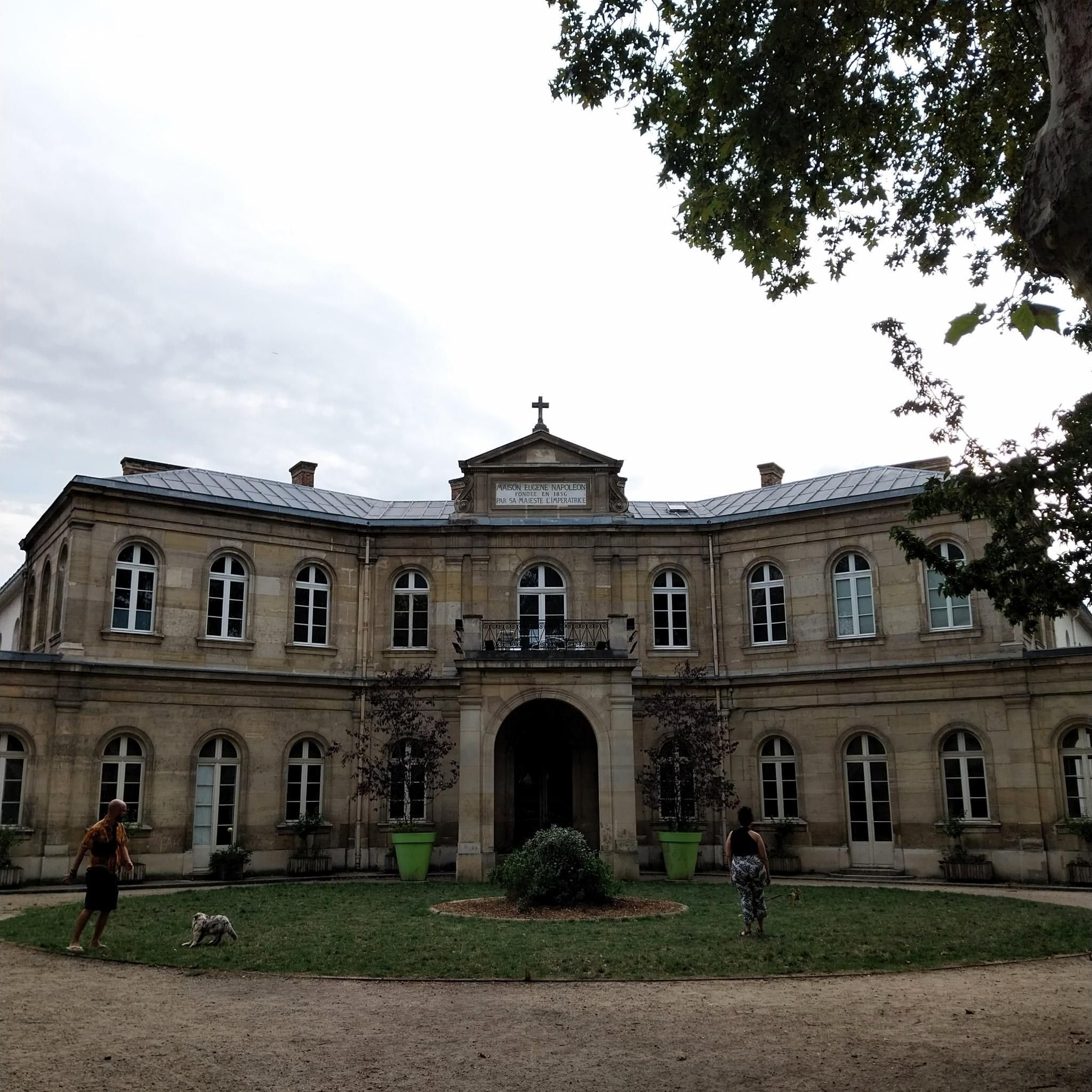
Nice place tucked away off a church parking lot.
0
0
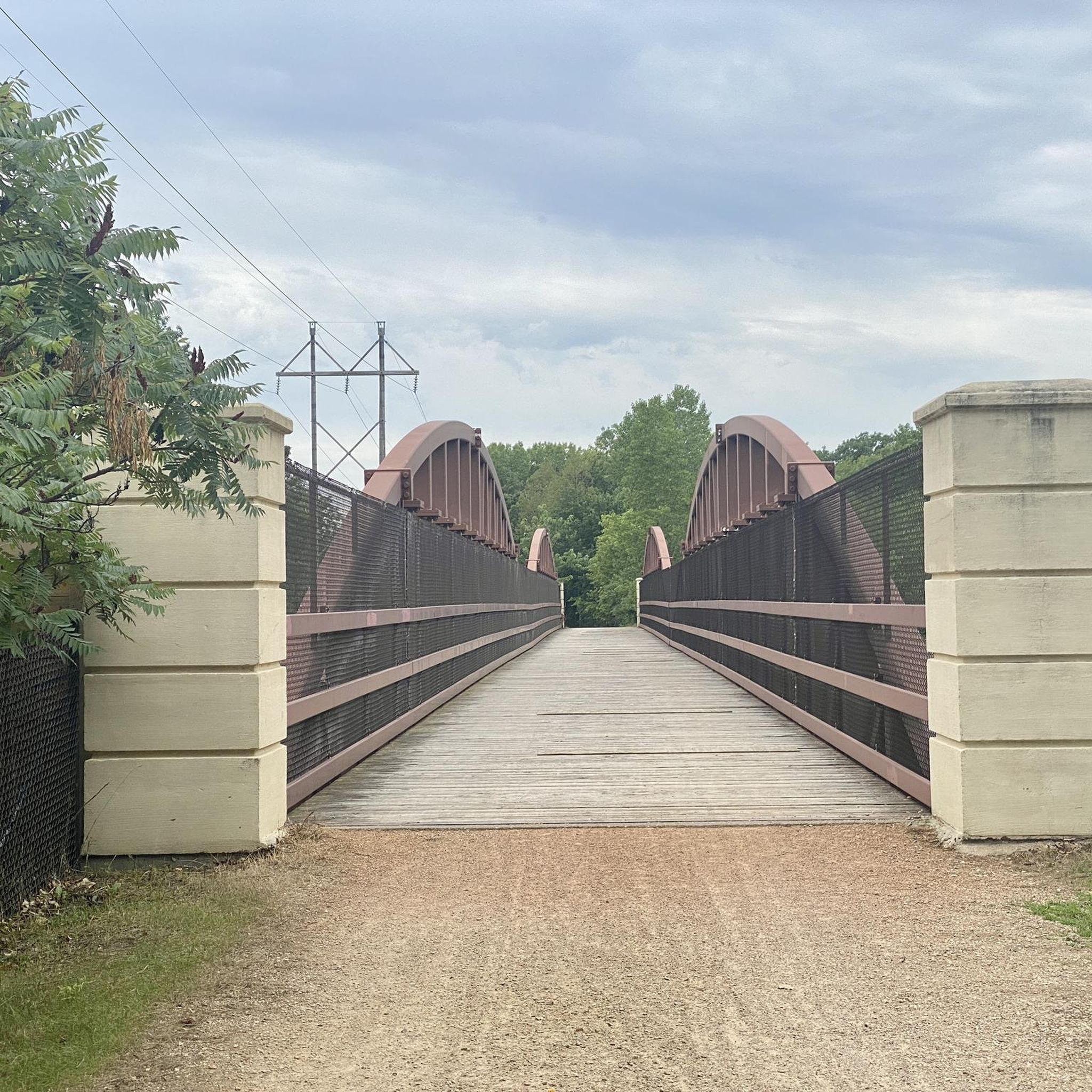
One of MN's first rails to trails. Great rides!
0
0
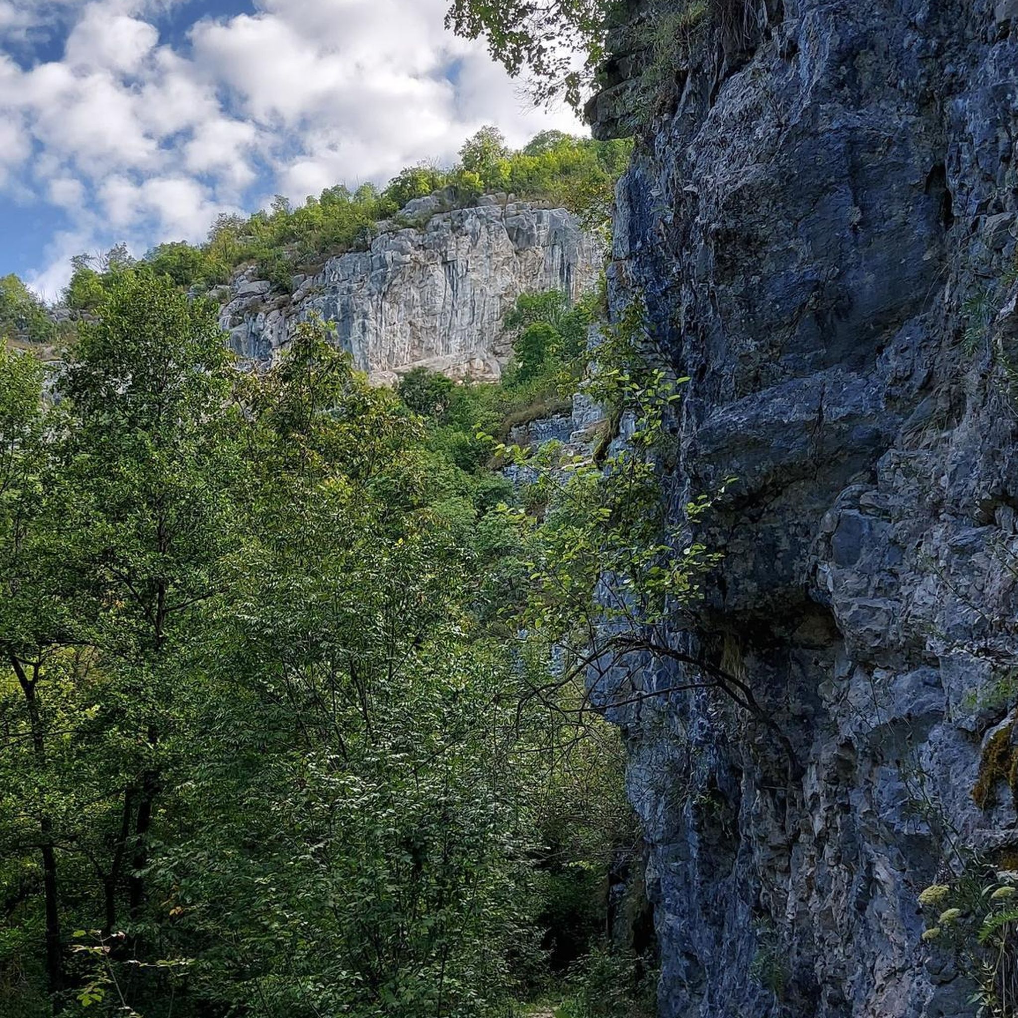
Hopefully they will fill in these stairs at some point, but they did put some work in maintaining the trails with these.
0
0
There are many additional hiking trails in Baker Park Reserve on the north side of County Road 24.
0
0

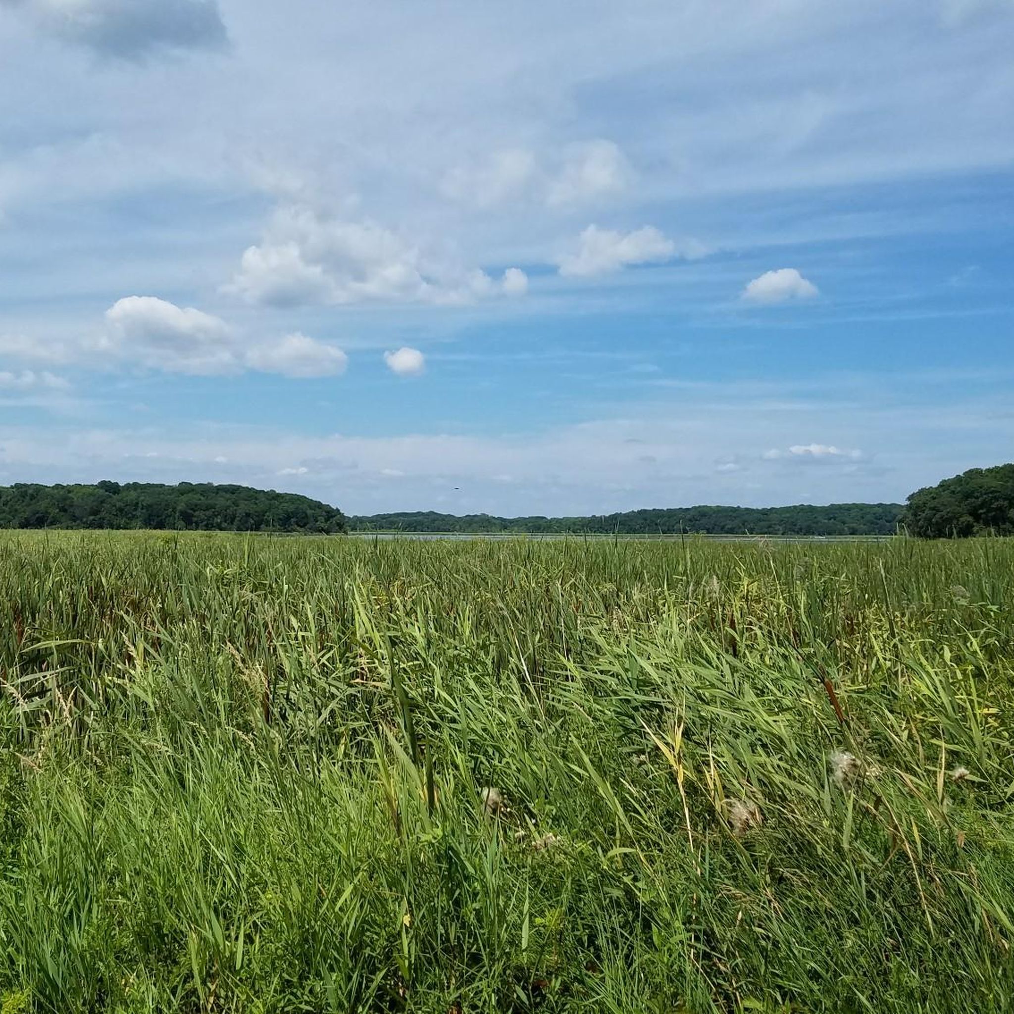
The Lake Independence Regional Trail connects Crow-Hassan Park Reserve, Baker Park Reserve, and the Luce Line State Trail. This 10-foot-wide paved trail meanders through lush forests, creating a picturesque route for outdoor enthusiasts to enjoy. Along this specific section, you'll traverse Baker Park Reserve and follow the path alongside Katrina Lake, where you can soak in the stunning views of the surrounding natural landscape.
0
0
Baker Park Reserve sprawls across 2,700 acres of natural landscape and includes a beach area for swimming, campgrounds for extended stays, and even a golf course. A smooth paved surface encircles the entire reserve, allowing you to leisurely explore and appreciate the tranquil surroundings.
0
0
Wolsfeld Woods was one of Minnesota's earliest Scientific and Natural Areas, established in 1978. It boasts some of the state's largest sugar maple trees, with Wolsfeld Lake enhancing the northwest corner. Be sure to keep an eye out for the diverse wildlife that frequents this area.
0
0
Frequently Asked Questions
Are there easy, family-friendly hikes around Long Lake?
Yes, the area has several gentle trails perfect for a family outing. For a very accessible and short walk, consider the Victoria-Evergreen Park loop. It's just over a kilometer and provides a pleasant stroll through the park.
Can I bring my dog on the hiking trails?
Dog policies can vary between the different parks and reserves around Long Lake. For example, Scientific and Natural Areas (SNAs) often have stricter rules to protect the ecosystem. County parks, like Morris T. Baker County Park, are generally more accommodating. It's always best to check the specific regulations for the trail you plan to visit before you go.
What are the trails like in the Long Lake area?
The hiking around Long Lake is characterized by its gentle terrain through woodlands, wetlands, and along lakeshores. Many paths are well-maintained, with some following former railway lines like the Dakota Rail Regional Trail, making for relatively flat and accessible walks. You'll find a mix of protected nature areas and larger county parks.
Are there any circular walks available?
Absolutely. Many of the best routes in the area are loops, allowing you to start and finish in the same spot without retracing your steps. A great example is the Wood-Rill Scientific and Natural Area loop, a peaceful 4.4 km walk through a protected forest.
Where can I find a longer, more challenging hike?
For those looking for more distance, the Arcola Trestle via Dakota Rail Regional Trail offers a moderate 14.3 km hike. While the terrain isn't steep, the length provides a good challenge and follows a scenic regional greenway.
What do other hikers think of the trails around Long Lake?
The trails are highly regarded by the komoot community, earning an average rating of 4.7 out of 5 stars. Hikers often praise the serene woodland environments and the well-maintained paths found in the area's parks and natural areas.
How many hiking trails are there near Long Lake?
You can explore nearly 10 designated hiking routes around Long Lake. These range from short, easy loops perfect for a quick walk to more moderate, longer trails for a half-day adventure.
Is there free public parking available for the trails?
Most of the parks and trailheads in the Long Lake area, such as those for the Wolsfeld Woods SNA or Baker Park Reserve, provide designated parking areas. While many are free, some regional or county parks may require a vehicle permit or entry fee, so it's a good idea to check the park's official website beforehand.
What should I pack for a day hike in Long Lake?
For a day hike, comfortable walking shoes are a must. We recommend bringing water, snacks, and insect repellent, especially during warmer months. Since the weather can change, packing a light rain jacket is also a good idea. A map or a navigation app like komoot will help you stay on track.
Are the trails suitable for hiking in winter?
Yes, many trails in the Long Lake area are popular for winter hiking and snowshoeing. The relatively flat terrain of routes like the Dakota Rail Regional Trail makes them accessible in snowy conditions. Always wear appropriate footwear with good grip and dress in warm layers.
Are there any hikes with waterfalls in the area?
The primary natural features of the Long Lake region in Minnesota are its beautiful woodlands, wetlands, and lakes. The local trails focus on these landscapes, and there are no significant waterfalls directly on the main hiking routes.
Most popular attractions around Long Lake

Get inspired with the komoot mobile app


Explore more
Browse the best Hikes in other regions.
