The best road cycling routes around Kootenay Lake
68
riders
6
rides
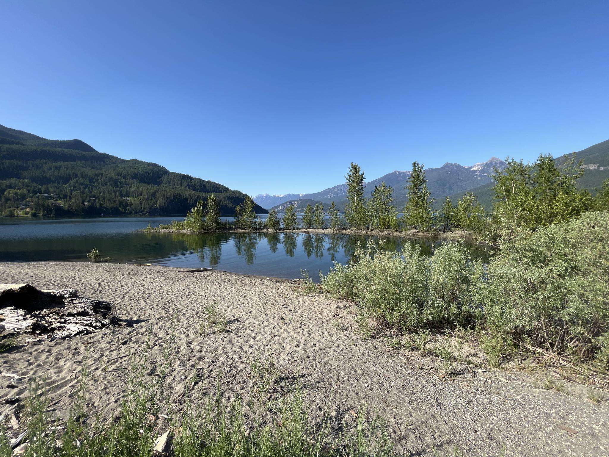
Road cycling around Kootenay Lake offers routes set against the Selkirk and Purcell mountain ranges in British Columbia. The region features smoothly paved roads that wind along the waterfront, providing diverse terrain for cyclists. Routes include sections with relatively flat stretches, rolling hills, and more challenging climbs, often leading through glaciated valleys. Kootenay Lake itself is a prominent natural feature, influencing many of the area's scenic cycling paths.
Best road cycling routes around Kootenay Lake
- The most popular road cycling route is Crescent Bay – Roberts Bay loop from Balfour, a 40.6 miles (65.3 km) trail that takes 2 hours 55 minutes to complete. This route offers varied terrain along the lake's west arm.
- Another top favourite among local road cyclists is Fish Lake – Mirror Lake loop from Balfour, a difficult 82.1 miles (132.1 km) path. This route features significant elevation gain, providing a challenging experience through mountain landscapes.
- Local road cyclists also love the Kaslo River – Fish Lake loop from Kaslo, a 38.1 miles (61.3 km) trail leading through river valleys and past lakes, often completed in about 2 hours 52 minutes.
- Road cycling around Kootenay Lake is defined by the surrounding Selkirk and Purcell mountain ranges, the expansive Kootenay Lake, and scenic glaciated valleys. The network offers options for moderate to difficult ability levels.
- The guide includes highly-rated routes that showcase the best of the region's landscape. More than 60 road cyclists have used komoot to explore Kootenay Lake's varied terrain.
Last updated: July 11, 2026
30
riders
65.3km
02:56
590m
590m
Moderate road ride. Good fitness required. Some segments of this route may be unpaved and difficult to ride.
9
riders
132km
06:25
1,960m
1,950m
Hard road ride. Very good fitness required. Some segments of this route may be unpaved and difficult to ride.

Sign up for free
10
riders
61.3km
02:52
760m
760m
Moderate road ride. Good fitness required. Some segments of this route may be unpaved and difficult to ride.
8
riders
72.4km
03:40
1,210m
1,210m
Hard road ride. Very good fitness required. Some segments of this route may be unpaved and difficult to ride.
6
riders
45.2km
02:13
710m
710m
Moderate road ride. Good fitness required. Mostly well-paved surfaces and easy to ride.
Our route recommendations are based on thousands of hikes, rides, and runs completed by other people on komoot.
Start today with a free account
Your next adventure awaits.
Login or Signup
Popular around Kootenay Lake
Frequently Asked Questions
What kind of terrain can I expect when road cycling around Kootenay Lake?
Road cycling around Kootenay Lake offers a diverse range of terrain. You'll find smoothly paved, winding waterfront roads with generally low traffic. Routes can include relatively flat stretches, rolling hills, and more challenging climbs, often leading through glaciated valleys. For instance, the ride from Nelson to Kaslo starts relatively flat along the lake before introducing more challenging climbs. The northern end, from Kaslo to Meadow Creek, features spectacular out-and-back rides with rolling hills and glacier-capped vistas. For a significant challenge, Kootenay Pass in the southern part of the lake offers Canada's highest four-season highway.
What natural features and landmarks can I expect to see while cycling around Kootenay Lake?
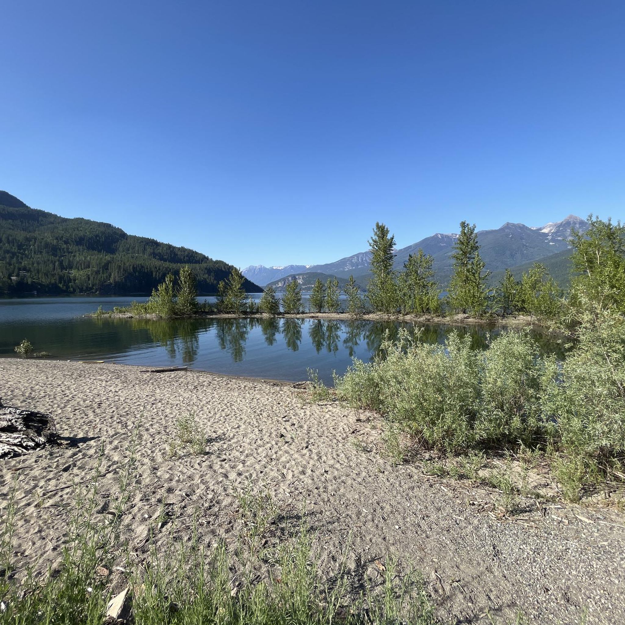
The Kootenay Lake region is rich in natural beauty and unique landmarks. You'll cycle amidst the majestic Selkirk and Purcell mountain ranges, offering glorious views. The pristine Kootenay Lake itself is a constant companion, and you might pass by clean beaches like those at Kokanee Creek Provincial Park or Nelson's Rotary Lakeside Park. Unique experiences include the Harrop-Procter Cable Ferry, a free crossing of the Kootenay Lake's west arm, and the world's longest free ferry ride connecting Balfour and Crawford Bay, offering stunning views of the surrounding mountains.
Are there challenging road cycling routes for experienced riders around Kootenay Lake?
Yes, Kootenay Lake offers several challenging routes for experienced road cyclists. For example, the Fish Lake – Mirror Lake loop from Balfour is a difficult 82.1-mile (132.1 km) path with significant elevation gain. Another demanding option is the Mirror Lake – Kaslo Bay loop from Balfour, which covers 72.4 miles (116.5 km) and includes substantial climbing. Additionally, the Kootenay Pass in the southern part of the lake provides a high-altitude challenge.
When is the best time of year to go road cycling around Kootenay Lake?
The best time for road cycling around Kootenay Lake is generally from late spring through early autumn. During these months, the weather is most favorable, with warmer temperatures and less precipitation, making for ideal riding conditions. The region's diverse terrain, including high mountain passes, means that some routes might be accessible later in the season due to snowmelt.
Are there any family-friendly or easier road cycling routes available around Kootenay Lake?
While many routes around Kootenay Lake feature moderate to difficult terrain with significant elevation changes, sections of routes, particularly those along the waterfront with lower traffic, can be enjoyed by families or those seeking an easier ride. The Harrop-Procter Cable Ferry provides access to a pretty, paved rural route on the south shore with little traffic, which could be suitable for a more relaxed outing. Always check route details for elevation and distance to ensure it matches your group's ability.
What amenities are available for cyclists along the routes, such as cafes or rest stops?
Along the cycling routes around Kootenay Lake, riders will find ample cafes, rest stops, and accommodations, enhancing the overall experience. Charming towns like Nelson and Kaslo, as well as smaller communities, offer opportunities to refuel, relax, and enjoy local hospitality. It's always a good idea to plan your route with potential stops in mind, especially on longer rides.
Is parking readily available for road cyclists around Kootenay Lake?
Yes, parking is generally available in the towns and at various access points around Kootenay Lake. Many routes, such as the Crescent Bay – Roberts Bay loop from Balfour, often start from communities like Balfour, where parking facilities can be found. It's advisable to check specific starting points for parking options when planning your ride.
Can I access road cycling routes around Kootenay Lake using public transport?
While direct public transport specifically for accessing remote cycling routes might be limited, the Kootenay Lake Ferry, which connects Balfour and Crawford Bay, serves as a unique and free form of transport that cyclists can utilize. This ferry allows you to cross the lake with your bike, opening up possibilities for loop routes or accessing different sections of the lake's shoreline for cycling. Local bus services in larger towns like Nelson might also offer limited options for transport to nearby areas.
What do other road cyclists enjoy most about road cycling in Kootenay Lake?
Road cyclists frequently praise the stunning landscapes and diverse terrain of Kootenay Lake. The region's smoothly paved, winding waterfront roads, set against the backdrop of the Selkirk and Purcell mountain ranges, are a major draw. Many appreciate the low traffic on many routes and the unique experiences like the cable ferries. The variety of routes, from rolling hills to challenging climbs, ensures there's something for every skill level, all within an area of unparalleled natural beauty.
Are there any loop routes for road cycling around Kootenay Lake?
Yes, Kootenay Lake offers several excellent loop routes for road cycling. Popular options include the Crescent Bay – Roberts Bay loop from Balfour, which is a moderate 40.6-mile (65.3 km) ride. For a more challenging experience, the Kaslo River – Fish Lake loop from Kaslo offers a 38.1-mile (61.3 km) route through river valleys and past lakes. These loops allow cyclists to experience varied scenery without retracing their path.
How many road cycling routes are featured in this guide for Kootenay Lake?
This guide features 6 road cycling routes around Kootenay Lake, offering a selection of moderate to difficult options to explore the region's diverse landscapes.
Are there any specific routes that offer particularly scenic viewpoints?
Many routes around Kootenay Lake offer breathtaking scenic viewpoints due to the region's mountainous terrain and expansive lake. The northern end of Kootenay Lake, particularly from Kaslo to Meadow Creek, provides spectacular out-and-back rides with wide-open, glacier-capped vistas. The Kootenay Lake Ferry crossings also offer stunning panoramic views of the Purcell and Selkirk Mountain Ranges, making any route incorporating them highly scenic.
Most popular routes around Kootenay Lake

Get inspired with the komoot mobile app


Explore more
Browse the best Road cycling routes in other regions.
