The best road cycling routes around Beauceville
4.8
(3)
171
riders
6
rides
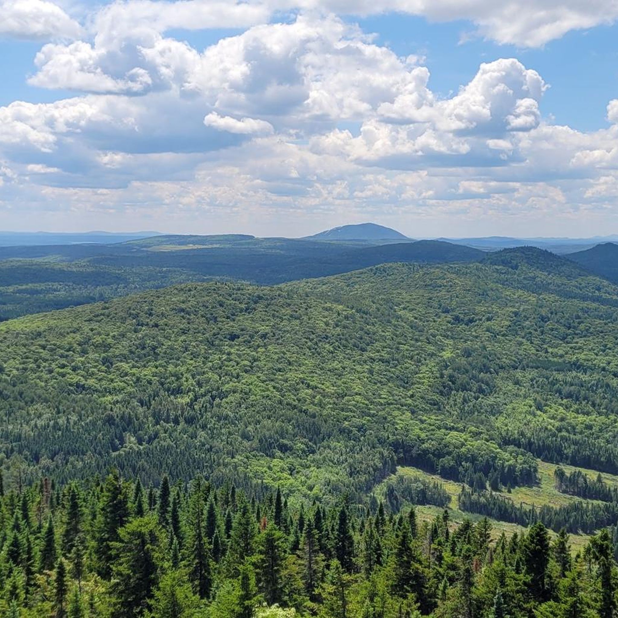
Road cycling around Beauceville is characterized by its access to the Véloroute de la Chaudière, a paved cycling route that follows the Chaudière River. The region features a river valley landscape with varying elevation changes, offering both flat sections and more challenging climbs. Cyclists can expect well-maintained asphalt paths alongside local roads.
Best road cycling routes around Beauceville
- The most popular road cycling route is Rivière Gilbert – Parc de l'Érable loop from Saint-Georges, a 39.4 miles (63.5 km) trail that takes 2 hours 48 minutes to complete. This moderate route features significant elevation gain, offering a challenging ride.
- Another top favourite among local road cyclists is Ruisseau Carter loop from Saint-Joseph-de-Beauce, a moderate 25.3 miles (40.7 km) path. This route provides a balanced ride with varied terrain and scenic views.
- Local road cyclists also love the Rivière Gilbert loop from Beauceville, a 16.1 miles (26.0 km) trail leading through the river valley, often completed in about 1 hour 9 minutes.
- Road cycling around Beauceville is defined by the Chaudière River valley, well-maintained paved paths, and varied elevation profiles. The network offers options for different ability levels, from easy loops to more challenging routes.
- The routes in Beauceville are highly rated by the komoot community with an average score of 4.75 stars from more than 3 reviews. More than 160 road cyclists have used komoot to explore Beauceville's varied terrain.
Last updated: July 2, 2026
4.5
(2)
32
riders
63.5km
02:48
290m
290m
Moderate road ride. Good fitness required. Mostly well-paved surfaces and easy to ride.
24
riders
40.7km
01:37
180m
180m
Easy road ride. Great for any fitness level. Mostly well-paved surfaces and easy to ride.

Sign up for free
5.0
(1)
25
riders
18.8km
00:57
70m
70m
Easy road ride. Great for any fitness level. Mostly well-paved surfaces and easy to ride.
16
riders
26.0km
01:09
120m
120m
Easy road ride. Great for any fitness level. Mostly well-paved surfaces and easy to ride.
13
riders
43.3km
01:51
320m
320m
Moderate road ride. Good fitness required. Some segments of this route may be unpaved and difficult to ride.
Our route recommendations are based on thousands of hikes, rides, and runs completed by other people on komoot.
Start today with a free account
Your next adventure awaits.
Login or Signup
Popular around Beauceville
Frequently Asked Questions
How many road cycling routes are available around Beauceville?
There are over 6 road cycling routes documented on komoot for the Beauceville area, catering to various skill levels and preferences. These routes primarily utilize the Véloroute de la Chaudière and local roads.
What types of road cycling routes can I find in Beauceville?
Beauceville offers a mix of easy and moderate road cycling routes. You'll find 3 easy routes, perfect for a relaxed ride, and 3 moderate routes for those seeking a bit more challenge. The terrain varies from flat sections along the river to routes with significant elevation gain.
Are there any family-friendly road cycling options in Beauceville?
Yes, the region offers several easy routes suitable for families or beginners. Options like the 16.7 km loop from Beauceville or a 25.4 km loop around Étang du parc Veilleux are ideal, featuring mostly paved surfaces and minimal elevation gain. The Véloroute de la Chaudière itself has many segments suitable for all fitness levels.
What are the road conditions like for cycling in Beauceville?
The Véloroute de la Chaudière is known for its 'super nice quality asphalt' on many parts, providing a smooth and enjoyable ride. However, some local roads in the broader Beauce region might have poorer conditions, particularly after winter, with potholes to consider if you venture off the designated Véloroute.
What is the best time of year for road cycling in Beauceville?
The best time for road cycling in Beauceville is typically from spring through fall when the weather is mild and the paths are clear. While some sections of the cycling path are maintained for winter activities like walking or snowshoeing, dedicated road cycling is best enjoyed in warmer months.
Are there any challenging road cycling routes for experienced riders?
For more experienced cyclists, routes such as a 64.4 km loop from Saint-Georges with 260m of elevation or a 30.7 km loop from Notre-Dame-des-Pins with 210m of climbing offer a greater challenge. A longer route from Ste-Marie to Beauceville spans 116.1 km with over 1,000 meters of elevation gain and descent, providing a significant workout.
What scenic viewpoints or natural attractions can I see along the routes?
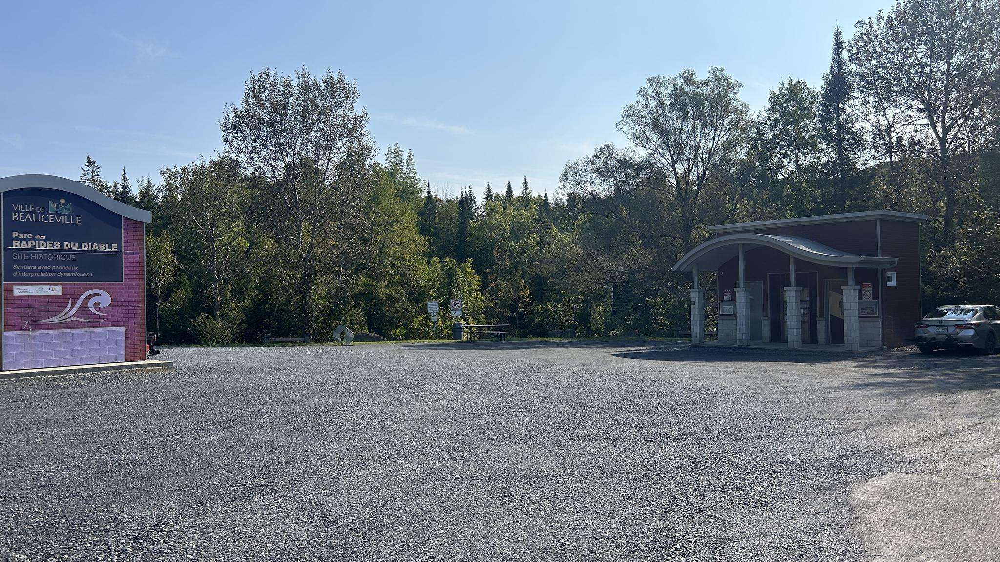
The region is characterized by the picturesque Chaudière River valley, offering magnificent views as paths often run alongside the river. You can also visit Parc des Rapides du Diable in Beauceville to observe the river and its rapids. Further afield, Parc des Sept-Chutes offers breathtaking views from a 25-meter-high suspended footbridge overlooking the seventh waterfall.
Are there any loop routes available for road cyclists?
Yes, Beauceville offers several excellent loop routes. For an easy ride, consider the Rivière Gilbert loop from Beauceville, which is 26.0 km. A more challenging option is the Rivière Gilbert – Parc de l'Érable loop from Saint-Georges, a moderate 63.5 km trail.
What do other road cyclists enjoy most about cycling in Beauceville?
The area is highly rated by the komoot community, with an average score of 4.75 stars. Reviewers often praise the well-maintained paved paths, especially the Véloroute de la Chaudière, and the enchanting scenery of the Chaudière Valley.
Where can I find parking for road cycling trails in Beauceville?
While specific parking locations aren't detailed, many routes start from towns like Beauceville or Saint-Georges, where public parking is generally available. Look for parking near access points to the Véloroute de la Chaudière or local parks like Parc des Rapides du Diable.
Can I combine road cycling with other outdoor activities in the region?
Absolutely! Beyond road cycling, the region offers opportunities for gravel biking on various routes. In winter, some sections of the cycling path are maintained for walking, snowshoeing, and cross-country skiing, allowing for year-round outdoor enjoyment.
Are there any longer road cycling routes for endurance training?
For longer endurance rides, consider routes that connect multiple towns or extend further along the Véloroute de la Chaudière. A notable option mentioned in regional research is a 116.1 km route from Ste-Marie to Beauceville, featuring over 1,000 meters of elevation gain and descent, ideal for a full day's ride.
Most popular routes around Beauceville

Get inspired with the komoot mobile app


Explore more
Browse the best Road cycling routes in other regions.
