The best road cycling routes around Area G (Salmo Valley)
5.0
(1)
48
riders
3
rides
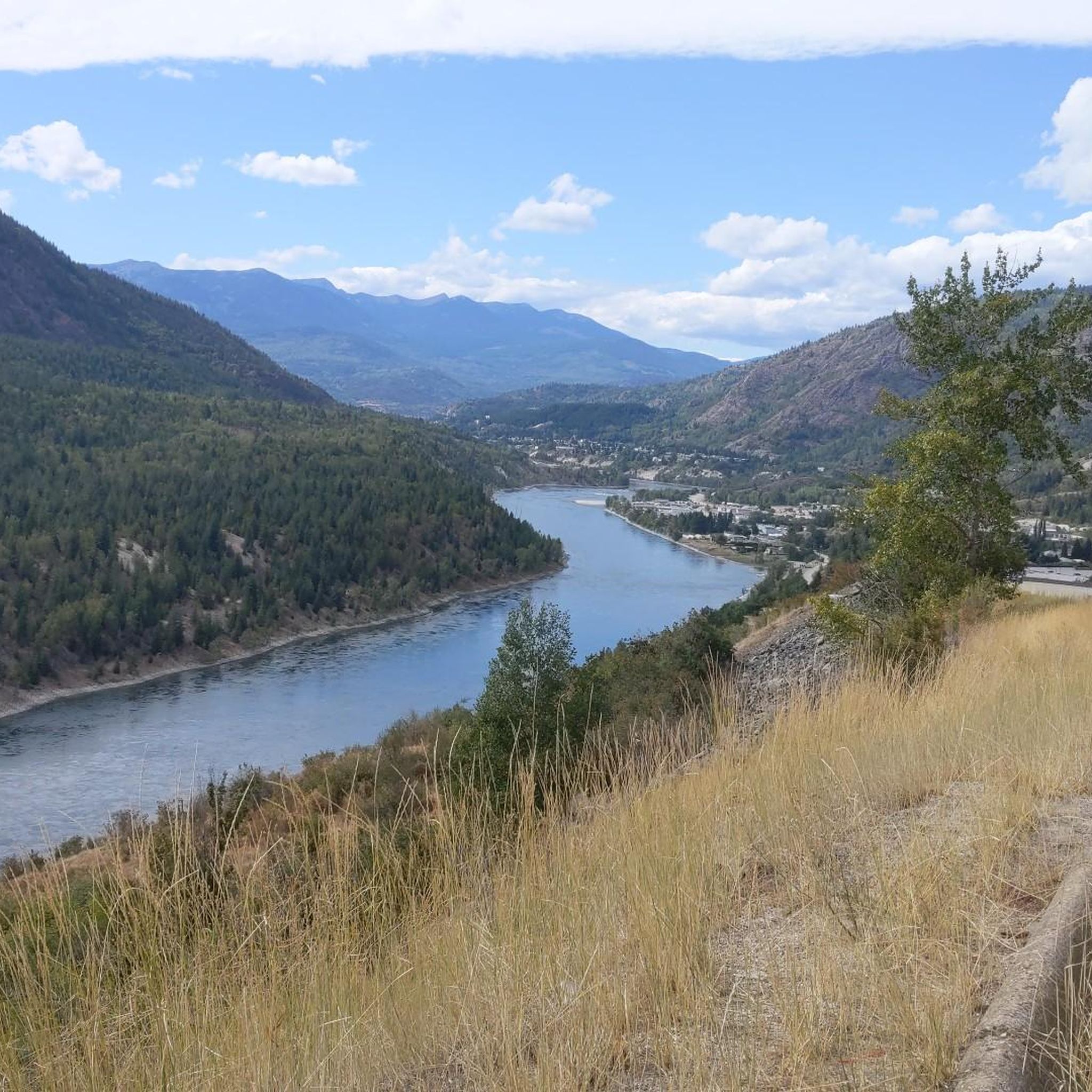
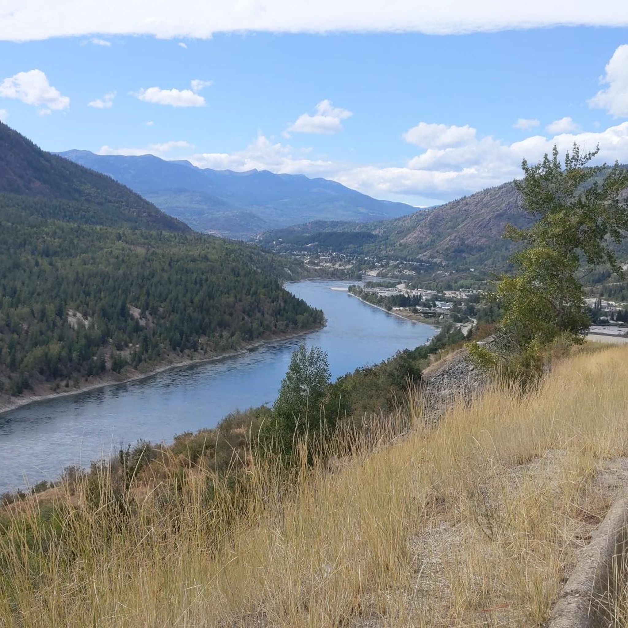
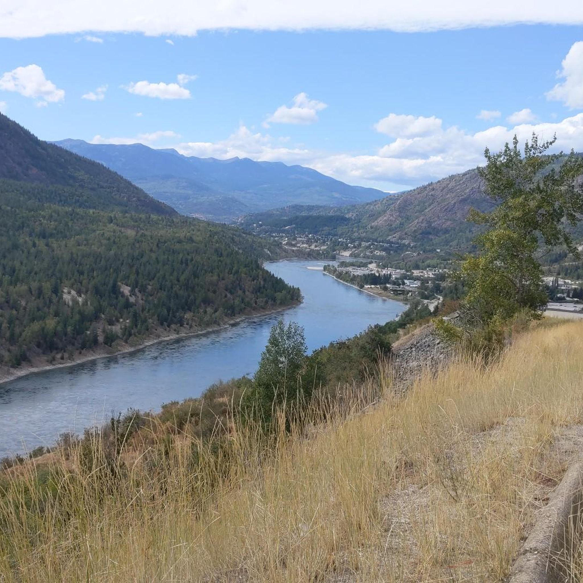
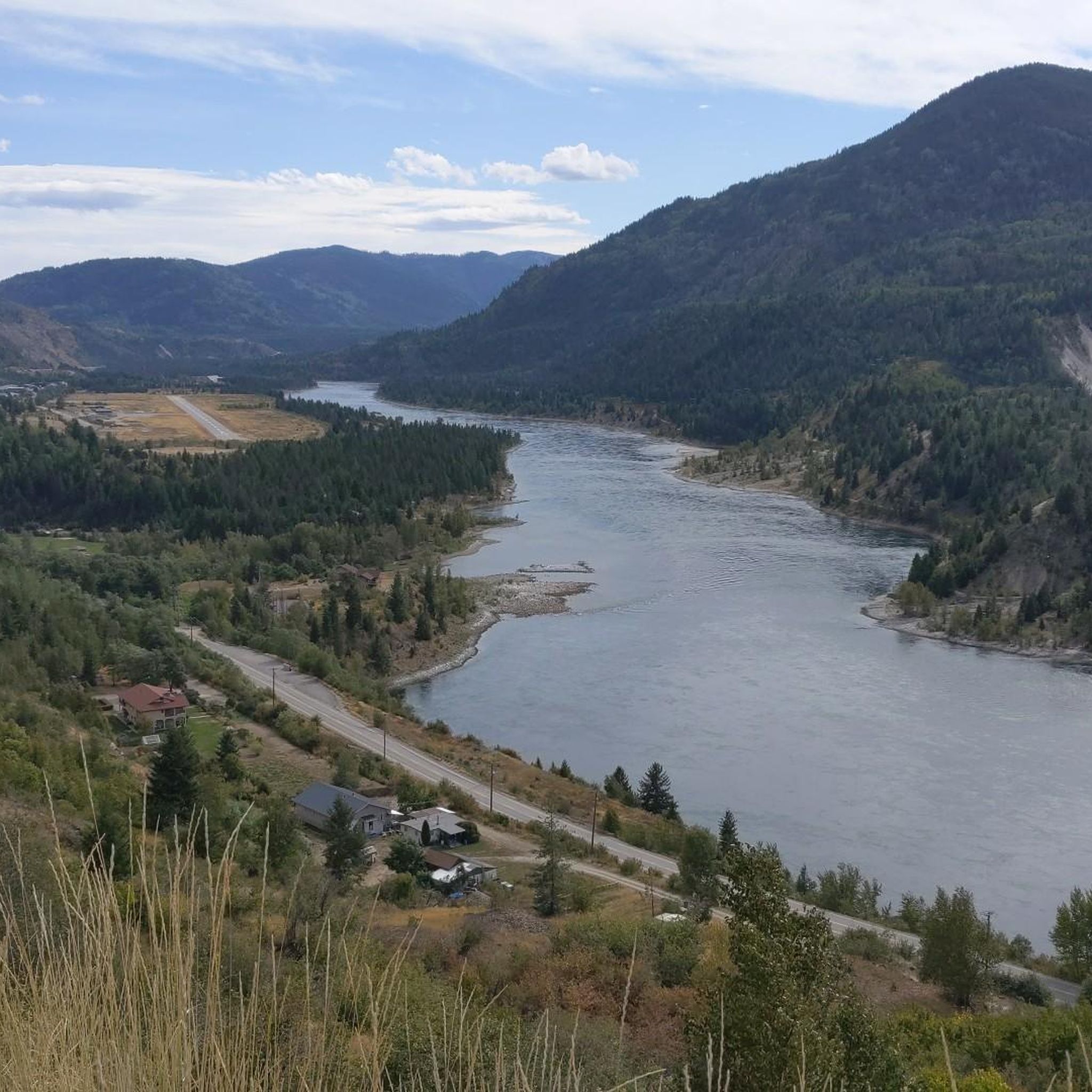
Road cycling around Area G (Salmo Valley) offers diverse terrain within British Columbia's Selkirk Mountains. The region features well-maintained highways and quieter backcountry roads that traverse mountains, lakes, and forests. Cyclists encounter a mix of flat stretches, rolling hills, and significant climbs, including the challenging Kootenay Pass. The landscape is characterized by the Salmo River valley, surrounded by majestic peaks and extensive forest-based recreation areas.
Best road cycling routes around Area G (Salmo Valley)
- The most popular road cycling route…
Last updated: October 14, 2026
5.0
(1)
30
riders
84.8km
03:48
800m
800m
Moderate road ride. Good fitness required. Some segments of this route may be unpaved and difficult to ride.
5
riders
88.7km
04:32
1,320m
1,320m
Hard road ride. Very good fitness required. Mostly well-paved surfaces and easy to ride.

6
riders
25.8km
01:22
490m
490m
Moderate road ride. Good fitness required. Mostly well-paved surfaces and easy to ride.
Our route recommendations are based on thousands of hikes, rides, and runs completed by other people on komoot.
Start today with a free account
Your next adventure awaits.
Tips from the Community

Take a moment to admire the views across the West Arm of Kootenay Lake from the southern end of Lakeside Park. Framed by the Selkirk Mountains, this glacier-carved lake is one of British Columbia's largest and most scenic waterways.
0
0

Created in 1955 this provincial park sits Kokanee Creek meets Kootenay Lake. It covers 260 hectares of forest, beaches, and deltas. You'll find a nice network of trails, a visitor centre, campgrounds, boat launch, and more.
0
0

There are numerous MTB trails in Nelson. Some of the best known include Codgers Mountain Bike Park, Sharlands Forest and Kaiteriteri Mountain Bike Park.
2
0
Nelson was founded in 1841 and is one of the oldest cities in New Zealand. Its name comes from Admiral Horatio Nelson, hero of the Battle of Trafalgar.
3
1
Frequently Asked Questions
What kind of terrain can I expect when road cycling in Area G (Salmo Valley)?
Area G (Salmo Valley) offers a diverse range of terrain for road cyclists. You'll find well-maintained highways and quieter backcountry roads that traverse majestic mountains, sparkling lakes, and lush forests. The routes feature a mix of flat stretches, rolling hills, and significant climbs, including challenging mountain passes like Kootenay Pass.
Are there challenging road cycling routes for experienced riders in Salmo Valley?
Yes, the Salmo Valley region provides several challenging road cycling routes. For instance, the Kokanee Creek – Mirror Lake loop from Nelson is a difficult 128.5 km path with substantial elevation gain. Another demanding option is the Nelson loop from Kinnarid Park Parking, covering 139.6 km through the Selkirk Mountains with over 2000 meters of ascent. The Kootenay Pass itself is known for sustained steep pitches, offering an average gradient of 5.4%.
What are some scenic viewpoints or landmarks to look out for while cycling in Area G (Salmo Valley)?
The Salmo Valley is rich with scenic spots. You can enjoy panoramic views from View of Nelson from Pulpit Rock, or experience the dramatic landscapes around Kootenay Pass, which also features Bridal Lake and a picnic area. The Brilliant Suspension Bridge is another notable landmark along some routes.
Are there any family-friendly road cycling options in the Salmo Valley?
While many routes in the immediate guide are more challenging, the broader Salmo Valley area offers options suitable for families. The region has quieter backcountry roads and sections of trails like the Great Northern Rail Trail, which can provide a more relaxed cycling experience away from heavy traffic. Look for routes with less elevation gain and lower traffic volumes for family outings.
What is the best time of year for road cycling in Area G (Salmo Valley)?
The best time for road cycling in Area G (Salmo Valley) is generally from late spring through early autumn. During these months, the weather is most favorable, and mountain passes like Kootenay Pass are fully accessible. Always check local weather conditions, especially for higher elevations, as they can change rapidly.
Can I find circular road cycling routes in the Salmo Valley?
Yes, the region offers several circular road cycling routes. For example, the Roberts Bay – Crescent Bay loop from Nelson is a moderate 39.7 km circular route. More challenging options include the Kokanee Creek – Mirror Lake loop from Nelson and the Nelson loop from Kinnarid Park Parking, both offering extensive loops through varied terrain.
What kind of wildlife might I encounter on road cycling routes in the Salmo Valley?
The Salmo Valley is rich in wildlife. Cyclists might spot a small herd of Big Horn Sheep near Kootenay Pass. Erie Lake, located nearby, is abundant with wildfowl, moose, deer, and a turtle family. Always be aware of your surroundings and respect wildlife from a safe distance.
Are there any historical sites or cultural points of interest along the cycling routes?
Yes, Salmo's history is rooted in mining and forestry. You can find remnants like huge cedar stumps in Springboard Park, showcasing its past. The Salmo Museum preserves archival material relating to the area's mining history, and the village features unique stone murals depicting scenes from its early settlement. The Brilliant Suspension Bridge also holds historical significance.
How many road cycling routes are available in Area G (Salmo Valley) on komoot?
There are several road cycling routes available in Area G (Salmo Valley) on komoot, with a total of 4 routes detailed in this guide. These include a moderate route and three difficult options, catering to various skill levels.
What do other road cyclists enjoy most about road cycling in Area G (Salmo Valley)?
Road cyclists frequently praise the diverse terrain, ranging from gentle valley rides to formidable mountain passes, all set against breathtaking natural landscapes of mountains, rivers, and lakes. The region's quiet roads and scenic beauty are often highlighted, with over 50 komoot users having explored these routes.
Is there public transport available for cyclists in the Salmo Valley area?
Public transport options like BC Transit may serve the Salmo Valley, connecting towns such as Salmo and Nelson. It's advisable to check specific routes and policies regarding bikes on buses directly with BC Transit for current information on accessibility for cyclists.
Where can I find parking for my car when starting a road cycling route in Salmo Valley?
Many road cycling routes in the Salmo Valley area, especially those starting from towns like Nelson, offer public parking options. For example, the Nelson loop from Kinnarid Park Parking explicitly mentions a parking starting point. Look for designated public parking areas in Salmo, Nelson, or other starting points for your chosen route.
Most popular routes around Area G (Salmo Valley)
Most popular attractions around Area G (Salmo Valley)

Get inspired with the komoot mobile app


Explore more
Browse the best Road cycling routes in other regions.
