The best road cycling routes around Area B (Discovery Islands/Mainland Inlets)
5.0
(1)
81
riders
7
rides
Road cycling around Area B (Discovery Islands/Mainland Inlets) offers diverse terrain across its islands and mainland inlets. The region features rugged coastlines, dense forests, and mountainous fjords, providing a varied landscape for cyclists. Roads on islands like Quadra and Cortes range from paved sections to areas with chip seal or uneven pavement, with a mix of hilly and flatter sections. This area is characterized by its natural features, including dramatic coastlines, lush woodlands, and the presence of marine and terrestrial…
Last updated: September 3, 2026
5.0
(1)
19
riders
Moderate road ride. Good fitness required. Mostly well-paved surfaces and easy to ride.
23
riders
30.9km
01:45
380m
380m
Moderate road ride. Good fitness required. Mostly well-paved surfaces and easy to ride.

Sign up for free
6
riders
25.4km
01:08
190m
190m
Easy road ride. Great for any fitness level. Mostly well-paved surfaces and easy to ride.
14
riders
36.7km
01:34
250m
250m
Easy road ride. Great for any fitness level. Mostly well-paved surfaces and easy to ride.
7
riders
Moderate road ride. Good fitness required. Some segments of this route may be unpaved and difficult to ride.
Get access to more routes and recommendations from other explorers.
Sign up for free
Already have an account?
Our route recommendations are based on thousands of hikes, rides, and runs completed by other people on komoot.
Start today with a free account
Your next adventure awaits.
Login or Signup
Popular around Area B (Discovery Islands/Mainland Inlets)
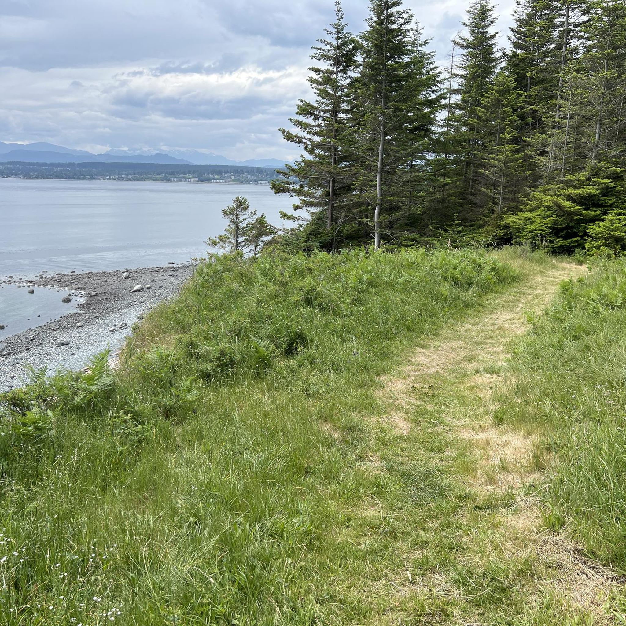
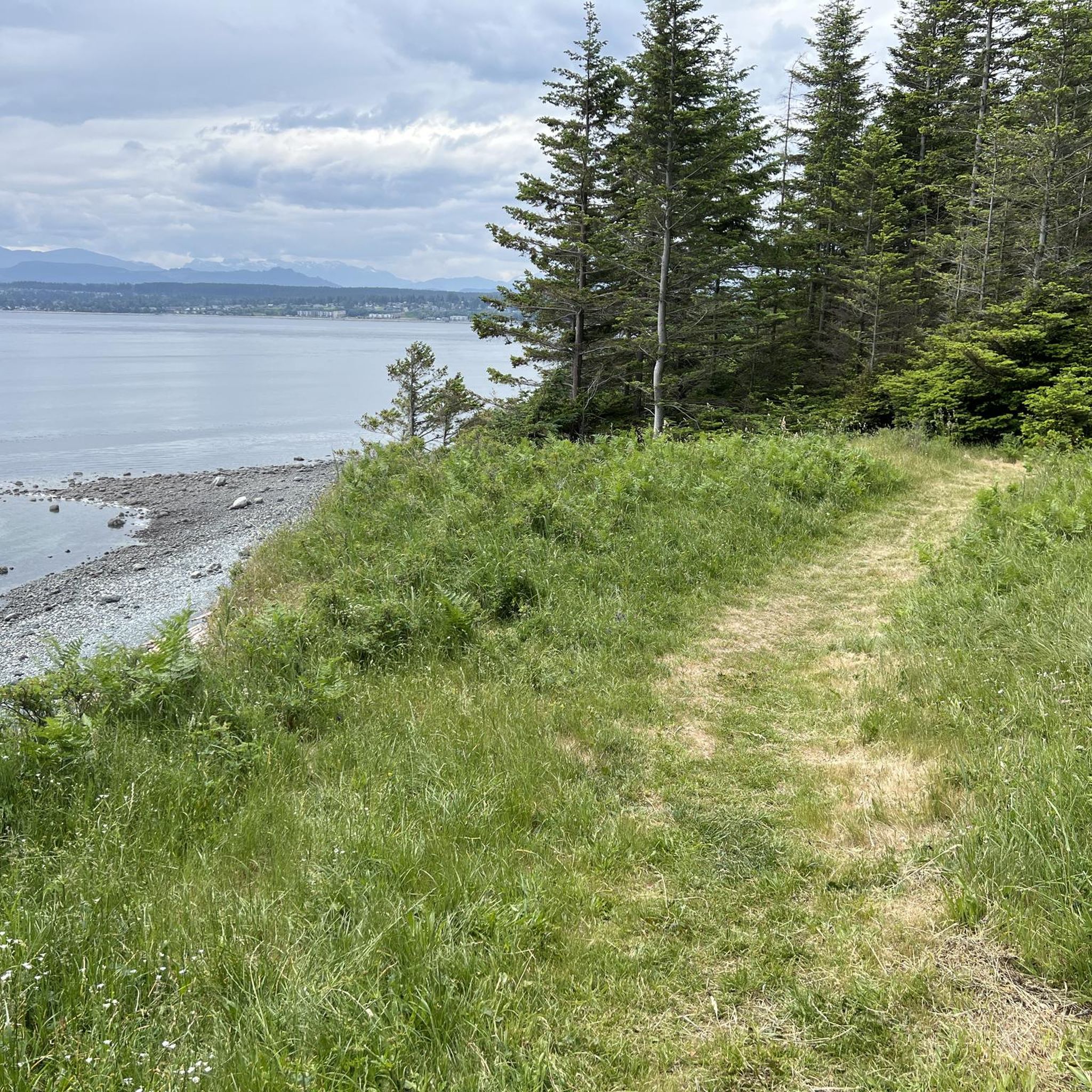
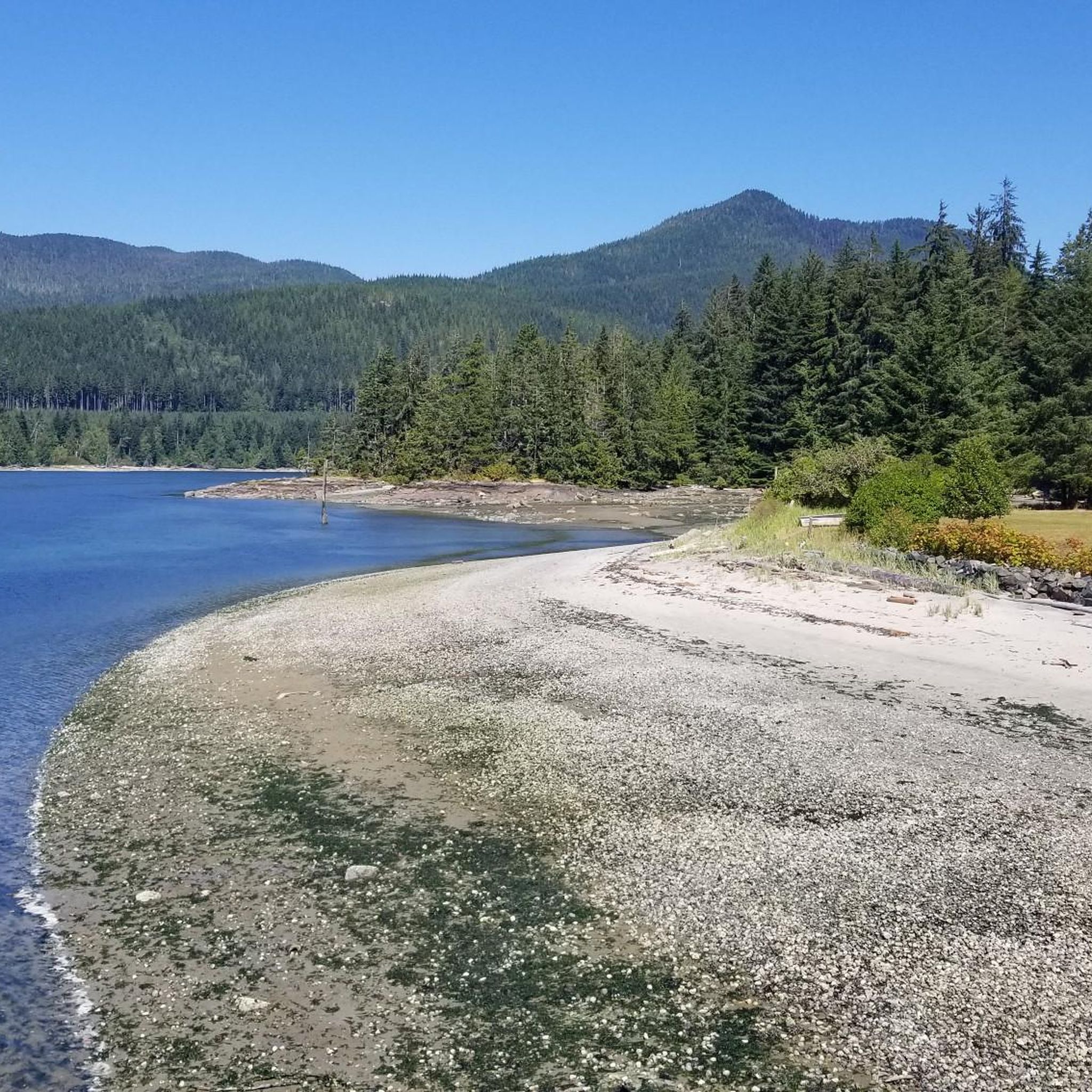
Tips from the Community

The whole trail system around Willow Creek is amazing. You quickly dive into a dense forest and lush greenery. Here, a wooden bridge offers a great view over the waterway surrounded by tall trees. A great spot to stop to contemplate for a little while.
0
0

This small creek flows through the Beaver Lodge Forest Lands outside of Campbell River. The creek's riparian area forms an important habitat for many species. Ongoing works to restore the creek can be found along the creek side from time to time, so be sure to follow any posted signage.
0
0
The Beaver Lodge Forest Lands are located on the edge of Campbell River in BC. Visitor can enjoy the many trails that crisscross the forest allowing access to hiking and mountain biking. The area was heavily logged in the past but it is now overseen by a land trust and has become a haven for a wide range of flora and fauna.
0
0
This multi-use trail was built on top of an old logging route and is suitable for all ages and ability levels. The 3 kilometre trail can be taken as an out and back hike or combined with other trails in the area for longer journeys and loop hikes.
0
0

Sutil Road has roadside parking and is a good place to either start or end a hike along the Kay Dubois Trail. For a glass of wine after your hike, walk 700 meters south on Sutil Road to the SouthEnd Farm Winery, where you can enjoy wine tastings. Be sure to check the winery hours, as they are not open every day.
0
0

Frank James Park is a scenic waterfront park situated along the banks of the Campbell River. The park is famous for hosting its annual chainsaw driftwood carving competition. Visitors can enjoy walking through the grounds and viewing numerous striking sculptures from past events that are scattered throughout the park. For visitor convenience, the park provides amenities including washrooms, picnic tables, and benches.
0
0
The Rotary Seawalk is a 6-kilometre (3.7-mi) path that runs along the shores of the Discovery Passage. Trail users can catch views of cruise liners, cargo ships, sailboats, and fishing vessels as they stroll or ride along the path. Picnic tables, benches, grassy lawns, and sandy beaches are available all along the route.
0
0
Ken Forde Boat Ramp Park is a small waterfront park that offers great views of the bay, a boat ramp, and a picnic area. The beach is a great place to check out tide pools during low tide.
0
0
Frequently Asked Questions
What kind of terrain can I expect when road cycling in Area B (Discovery Islands/Mainland Inlets)?
The region offers a diverse mix of landscapes. On islands like Quadra and Cortes, you'll find a combination of hilly sections and flatter stretches. Roads can vary from paved to areas with chip seal or uneven pavement. The mainland inlets feature dramatic coastlines and mountainous fjords, providing a more rugged backdrop.
Are there any easy or beginner-friendly road cycling routes in the Discovery Islands?
Yes, Area B offers routes suitable for easier ability levels. For instance, the Roadbike loop from Quathiaski Cove on Quadra Island is an easy 11.2-mile (18.0 km) trail that takes about an hour to complete. Another easy option is the Ken Forde Boat Ramp Park – Rotary Seawalk loop from Campbell River.
What are some notable natural features or landmarks I might see along the road cycling routes?
Area B is rich in natural beauty. You might encounter dramatic coastlines, lush old-growth forests, and stunning fjords. Specific highlights include several waterfalls such as Elk Falls, Deer Falls, and the Small Waterfall at the Outlet of Dolphin Lake. The Canyon View Bridge also offers impressive views.
What is the best time of year for road cycling in Area B?
The Discovery Islands and Mainland Inlets benefit from a temperate climate, with Cortes Island, in particular, boasting higher-than-average sunshine. Spring and summer are generally ideal, offering pleasant riding conditions and the chance to see wildflowers in bloom on Discovery Island.
Are there any longer road cycling routes for more extensive rides?
Yes, for those seeking longer rides, the Ken Forde Boat Ramp Park – Frank James Park loop from Beaver Lodge Forest Lands is a moderate 53.4-mile (85.9 km) path. This route offers extensive coastal views and passes through dense woodlands, providing a more immersive experience of the region's diverse terrain.
Can I find circular road cycling routes in the Discovery Islands?
Yes, many routes in the Discovery Islands are designed as loops, allowing you to start and end in the same location. An example is the Roadbike loop from Quathiaski Cove on Quadra Island, which provides a convenient circular tour of the island's mixed terrain.
What do other road cyclists think about the routes in Area B?
The road cycling routes in Area B are highly regarded by the komoot community, holding an average rating of 5.0 stars from over 2 reviews. Cyclists often praise the varied terrain, from rugged coastlines to dense forests, and the opportunities to explore the unique island and inlet landscapes.
Are there opportunities for multi-day road cycling tours between the islands?
Absolutely. Ferry services connect the Discovery Islands, such as Quadra and Cortes. This allows cyclists to create scenic multi-island routes and multi-day touring adventures, exploring different islands and their unique attractions at a relaxed pace.
What kind of wildlife might I encounter while cycling in Area B?
Area B is a natural wonderland with abundant wildlife. Along the coastlines and in the waters, you might spot marine animals like orcas, humpback whales, dolphins, seals, and sea lions. In the forests, black bears, deer, and various bird species like eagles and ospreys are common. Grizzly bears inhabit the deep river valleys of the mainland Coast Range Mountains.
Are there any specific attractions on Quadra Island accessible by bike?
Quadra Island is very bike-friendly. Many of its highlights are easily accessible by bicycle, including Rebecca Spit Provincial Park, Heriot Bay, and the Cape Mudge Lighthouse. You can also visit the Nuyumbalees Cultural Centre at Cape Mudge for insight into Indigenous art and culture.
Is public transport available for cyclists in Area B?
While specific public transport options for cyclists can vary, ferry services are a key part of transportation in the Discovery Islands, allowing cyclists to easily move between islands like Quadra and Cortes. It's advisable to check local ferry schedules for bike-friendly options.
Where can I find parking for road cycling routes in the Discovery Islands?
Parking availability can vary by specific route starting points. For routes originating near Beaver Lodge Forest Lands, such as the Ken Forde Boat Ramp Park loop, you would typically find parking facilities in or around the designated starting areas or nearby communities.
Most popular routes around Area B (Discovery Islands/Mainland Inlets)
Most popular attractions around Area B (Discovery Islands/Mainland Inlets)

Get inspired with the komoot mobile app


Explore more
Browse the best Road cycling routes in other regions.
