The best road cycling routes in Greene County
22
riders
6
rides
Road cycling in Greene County, Ohio, features an extensive network of paved multi-use trails, forming part of a larger interconnected system. The region is characterized by diverse natural landscapes, including rolling hills and river valleys, alongside serene rural areas. This topography provides varied terrain suitable for road cyclists. Over 600 miles of county and township roads further expand the cycling opportunities across the area.
Best road cycling routes in Greene County
- The most popular road cycling route is Moore Hill…
Last updated: July 1, 2026
6
riders
92.5km
03:56
610m
610m
Moderate road ride. Good fitness required. Mostly well-paved surfaces and easy to ride.
3
riders
52.1km
02:10
310m
310m
Moderate road ride. Good fitness required. Mostly well-paved surfaces and easy to ride.

Sign up for free
4
riders
47.5km
02:22
380m
380m
Moderate road ride. Good fitness required. Mostly well-paved surfaces and easy to ride.
3
riders
62.9km
03:03
700m
700m
Moderate road ride. Good fitness required. Mostly well-paved surfaces and easy to ride.
3
riders
60.8km
03:15
590m
590m
Moderate road ride. Good fitness required. Mostly well-paved surfaces and easy to ride.
3
riders
113km
05:41
1,670m
1,670m
Hard road ride. Very good fitness required. Mostly well-paved surfaces and easy to ride.
Our route recommendations are based on thousands of hikes, rides, and runs completed by other people on komoot.
Start today with a free account
Your next adventure awaits.
Login or Signup
Popular around Greene County
Tips from the Community

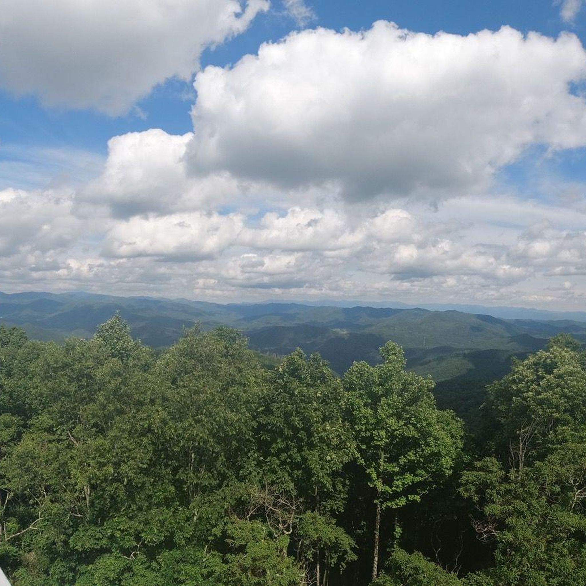
Limestone Cove Recreation Area is right off of Highway 107 and next to North Indian Creek. It is a great place to take a break with picnic tables, shade and a bathroom. It is a popular place for trout fishing also.
0
0

Just down the road from Spivey Gap Trailhead is Spivey Gap Recreation Area, which offers camping amenities. The parking at Spivey Gap Trailhead is just some pull-off spaces on the side of the road. The Appalachian Trail climbs from the road in both directions from here.
0
0
Frequently Asked Questions
What types of road cycling routes can I find in Greene County?
Greene County offers a diverse range of road cycling routes, primarily featuring an extensive network of paved multi-use trails, including sections of the Little Miami Scenic Trail and the Ohio to Erie Trail. Additionally, over 600 miles of county and township roads provide opportunities to explore serene rural landscapes, rolling hills, and river valleys. The routes cater to various skill levels, from moderate excursions to more challenging rides.
Are there any challenging road cycling routes in Greene County?
Yes, Greene County offers routes that provide a more challenging experience. For instance, the Limestone Cove Recreation Area loop from Lamar Alexander Rocky Fork State Park is classified as difficult, covering over 113 kilometers with significant elevation changes. Most routes in the area are moderate, but the varied topography ensures options for those seeking a greater challenge.
Where are the best places to start a road cycling tour in Greene County?
Xenia Station is a central hub where four out of five of Greene County's major trails converge, making it an excellent starting point for exploring the network. Many routes also begin from various towns and parks throughout the county, offering convenient access to the extensive trail system.
Are there family-friendly road cycling options in Greene County?
Greene County's extensive network of paved multi-use trails, such as the Little Miami Scenic Trail and Creekside Trail, are generally well-suited for family-friendly rides. These trails offer smooth surfaces and often pass through scenic, less trafficked areas, providing a safe and enjoyable experience for cyclists of all ages. While specific 'easy' routes aren't highlighted in the guide data, the nature of the multi-use trails makes them accessible for families.
What kind of scenery can I expect on road cycling routes in Greene County?
Road cycling in Greene County offers picturesque views of diverse natural landscapes. You can expect to ride through scenic countryside, forests, and charming towns along trails like the Little Miami Scenic Trail. The region also features rolling hills, river valleys, and serene rural areas, providing a varied and beautiful backdrop for your rides.
Are there any circular road cycling routes available?
Yes, many of the road cycling routes in Greene County are designed as loops, allowing you to start and end at the same point. Examples include the popular Roadbike loop from Little Mountain, which offers views of diverse natural landscapes, and the Roadbike loop from Cherokee Comphrensive High School, leading through serene rural areas.
What natural attractions or landmarks can I see along the routes?
Greene County is rich in natural beauty. While cycling, you might pass near areas like John Bryan State Park, known as the most scenic state park in western Ohio, or Clifton Gorge State Nature Preserve, which features scenic waterfalls and rapids. The Little Miami River also flows through the county, offering picturesque river views. Many trails connect to or pass by these natural reserves.
Are there places to stop for refreshments or amenities along the trails?
The extensive trail network in Greene County often passes through or near charming towns and villages. These communities typically offer various amenities, including cafes, restaurants, and shops, where cyclists can stop for refreshments, meals, or to rest. Xenia Station, a central hub, is also a good place to find facilities.
What do other road cyclists enjoy most about Greene County?
Road cyclists frequently praise Greene County for its extensive network of paved multi-use trails and the variety of terrain, from rolling hills to river valleys. The region's reputation as the 'Bicycle Capital of the Midwest' is well-earned, with many appreciating the well-maintained paths and the opportunity to explore both natural beauty and serene rural landscapes.
How many road cycling routes are featured in this guide for Greene County?
This guide features 7 road cycling routes in Greene County, ranging from moderate to difficult. These routes showcase the best of the region's landscape and are popular among the komoot community, with over 20 road cyclists having explored Greene County's varied terrain using komoot.
Can I find long-distance road cycling routes in Greene County?
Yes, Greene County is home to sections of long-distance trails like the Little Miami Scenic Trail, which spans 78 miles, and the Ohio to Erie Trail, part of America's longest paved trail network. These trails, combined with the county's extensive road system, allow for extended rides. For example, the Moore Hill loop from Phipps Island is a substantial 92.5 km (57.5 miles) route.
Is parking available at the trailheads in Greene County?
Yes, Greene County's trail system is well-supported with numerous access points and staging areas, many of which offer dedicated parking facilities. Xenia Station, as a central convergence point for several trails, is known to have ample parking for cyclists looking to access the network.
Most popular routes in Greene County

Get inspired with the komoot mobile app


Explore more
Browse the best Road cycling routes in other regions.
