The 17 Most Amazing Peaks around Krayenberggemeinde
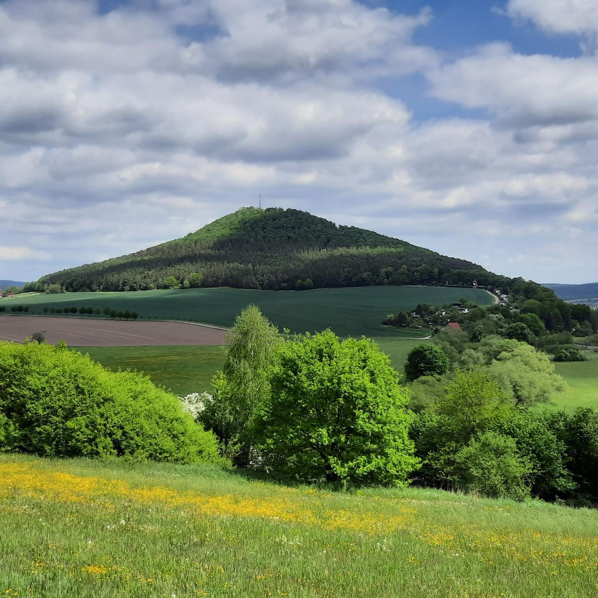
Mountain peaks around Krayenberggemeinde are characterized by diverse landscapes and historical significance. The region's most prominent elevation is the Krayenberg, rising to 431 meters, which hosts the Krayenburg Castle Ruins. This area serves as a gateway to the Rhön, offering established hiking and forest paths with scenic viewpoints over the Werra and Felda valleys. Five circular hiking trails, totaling 57 km, provide opportunities for exploring the terrain Krayenberggemeinde mountains.
Best mountain peaks around Krayenberggemeinde
- The most popular mountain peaks is…
Last updated: July 7, 2026
Pleß Tower
Highlight • Viewpoint
Translated by Google •
Tip by

Öchsenberg Summit and Celtic Cross
Highlight • Summit
Translated by Google •
Tip by

Sign up now to discover places like this
Get recommendations on the best single tracks, peaks, & plenty of other exciting outdoor places.
Sign up for free
Oechsenberg Hut (Öchsenberg Summit Hut)
Highlight • Mountain Hut
Translated by Google •
Tip by

Geiskopf Blockfield and Summit
Highlight • Summit
Translated by Google •
Tip by

Krayenburg Castle Ruins
Highlight • Castle
Translated by Google •
Tip by

Sign up for free to discover even more peaks around Krayenberggemeinde.
Sign up for free
Already have an account?
Start today with a free account
Your next adventure awaits.
Login or Signup
Tips from the Community

The hut is open every Sunday from April to October, as well as on all Thuringian holidays, from 10 a.m. to 6 p.m. If the crowds that gather up here in good weather are too much and too loud for you, it's better to go up on other days.
0
0

Magnificent summit with a bench to rest and enjoy the view
1
0

Next to the ruins of the old Krayenburg is the new Krayenburg. Unfortunately, it is only open on a few weekends.
6
0
The ruins of the Krayenburg on the Krayenberg are a place with ancient history. The ruins are not directly accessible, but can be viewed.
6
0

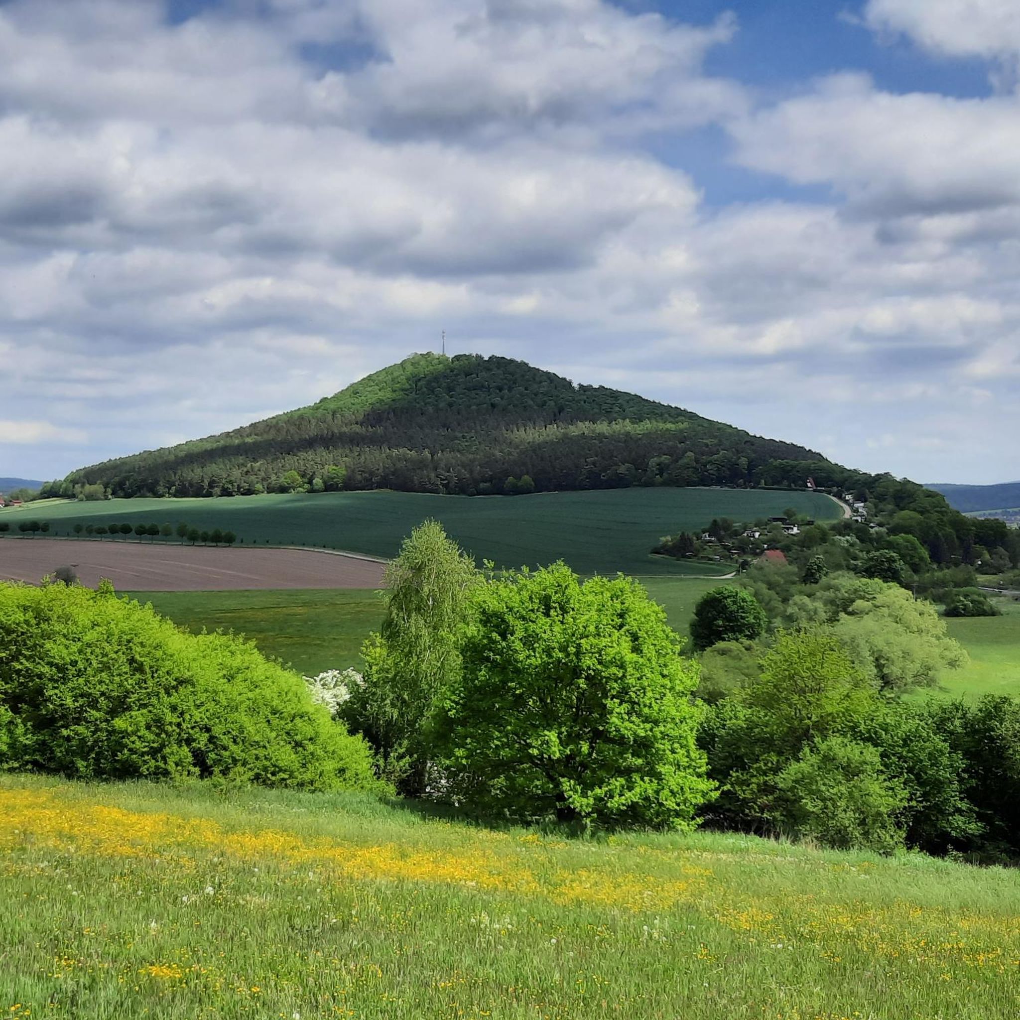
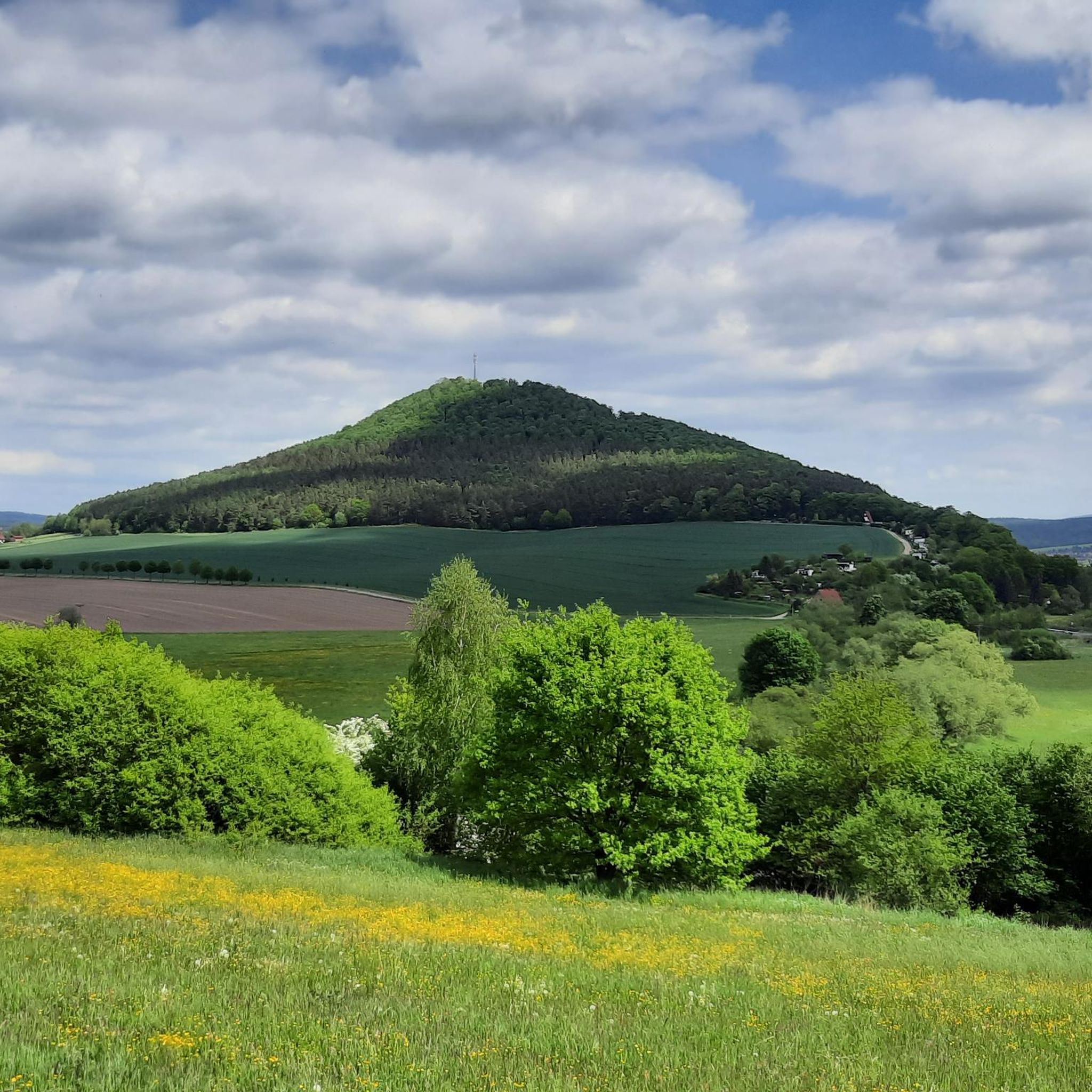
To the west of Tiefenort, the conical hill of the 431 m high Krayenberg rises above the Werra valley. The ruins of Krayenburg castle stand on the summit
17
0


Even without catering, the Krayenburg is worth a trip. The paths are easy to hike and don't require any major skills
4
0

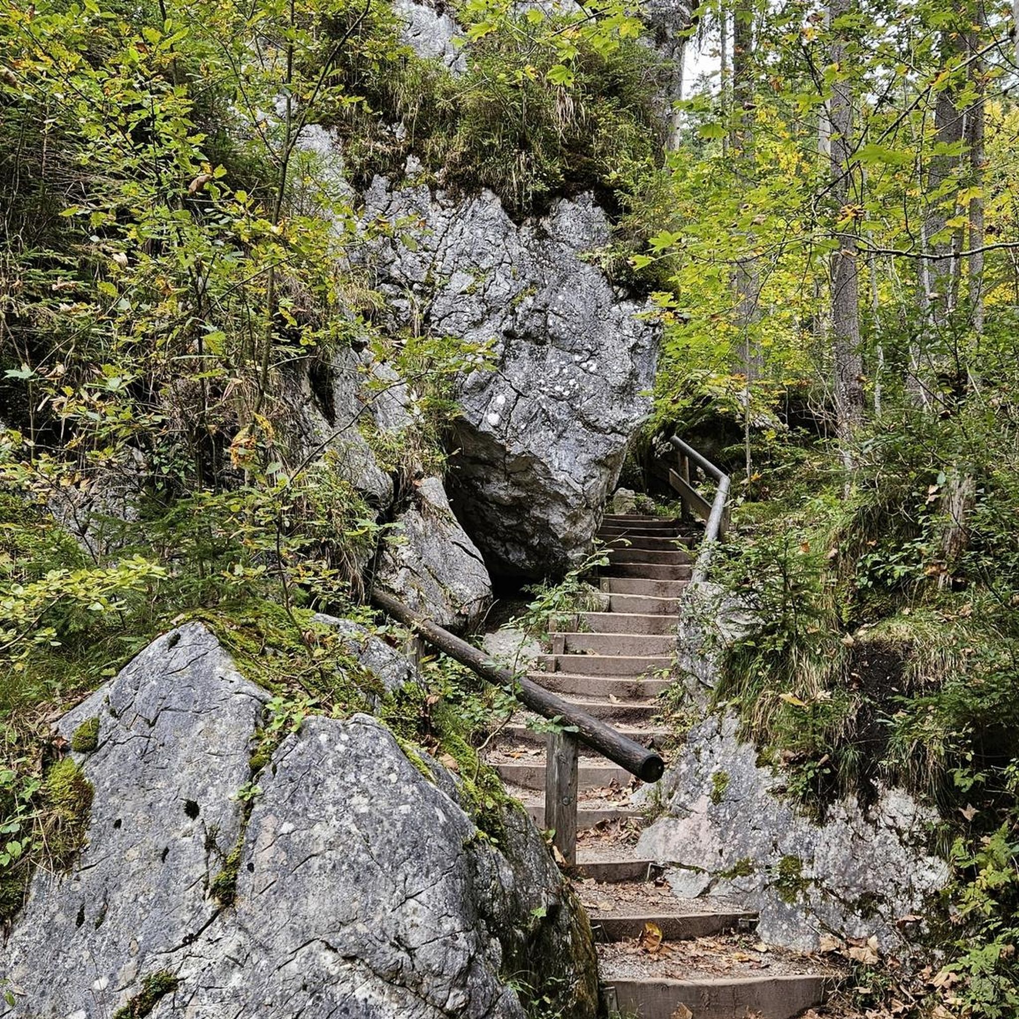
A sea of stones.
3
0
Frequently Asked Questions
What are the most notable mountain peaks and elevations in Krayenberggemeinde?
The most prominent elevation in Krayenberggemeinde is the Krayenberg, rising to 431 meters. It is home to the Krayenburg Castle Ruins, a historically significant site. Other notable spots include Pleß Tower and Öchsenberg Summit and Celtic Cross, both offering excellent views.
Which mountain peaks offer the best panoramic views in the region?
For expansive views, the Pleß Tower provides a wonderful all-round vista from the Plesturm. The Öchsenberg Summit and Celtic Cross also offers panoramic views, shaped by basalt mining. Additionally, a tower within the Krayenburg Castle Ruins on the Krayenberg provides extensive views into the Werratal.
Are there historical sites or cultural landmarks on these peaks?
Yes, the region is rich in history. The summit of the Krayenberg features the well-maintained Krayenburg Castle Ruins, which has a history dating back to 786 CE. The Öchsenberg Summit is also notable for its Celtic Cross and the historical impact of basalt mining on its landscape.
What kind of natural features or geological formations can I expect to see?
The Öchsenberg Summit is characterized by its basaltic-volcanic origin and the landscape shaped by basalt mining. The Geiskopf Blockfield and Summit features a unique geological block heap formed by collapsed basalt columns, offering a glimpse into the region's volcanic past.
Are there hiking trails near the mountain peaks in Krayenberggemeinde?
Absolutely. The Krayenberg is integrated into the local hiking network, with trails like the "Cow Trail at Krayenberg loop from Merkers." The broader Krayenberggemeinde region offers five circular hiking trails totaling 57 km, providing diverse opportunities for hiking and Nordic walking. You can find more routes in the Hiking around Krayenberggemeinde guide.
Are there family-friendly options among the mountain peaks?
Many of the peaks offer family-friendly experiences. The Pleß Tower is considered dog-friendly and has benches and tables for resting. The Krayenburg Castle Ruins also offers a restaurant on site, making it a convenient stop for families.
Are there facilities like restaurants or huts available on the peaks?
Yes, some peaks offer amenities. The Krayenburg Castle Ruins has a restaurant and hotel located on the former castle site. The Pleß Tower has a hut managed on weekends, and the Oechsenberg Hut near the summit provides food and drinks on weekends and public holidays.
What do visitors enjoy most about the mountain peaks in Krayenberggemeinde?
Visitors frequently praise the stunning panoramic views, especially from spots like the Öchsenberg Summit, often describing the routes as beautiful and full of things to discover. The historical significance of sites like the Krayenburg Castle Ruins and the welcoming huts and restaurants also receive positive feedback.
What is the best time of year to visit the mountain peaks in Krayenberggemeinde?
The region is ideal for hiking and outdoor activities, suggesting that spring, summer, and early autumn offer the most pleasant weather conditions for exploring the trails and enjoying the panoramic views. The Oechsenberg Hut, for example, is open from April to October.
Can I find circular hiking trails around the mountain peaks?
Yes, the local hiking association and municipal administration have developed five circular hiking trails in the Werra and Felda valleys, as well as the Krayenberg region, totaling 57 km. These trails offer excellent opportunities for exploring the diverse landscape. You can find examples like the "Cow Trail at Krayenberg loop from Merkers" in the Hiking around Krayenberggemeinde guide.
Are there options for other outdoor activities besides hiking near these peaks?
Beyond hiking, the region offers opportunities for running and cycling. You can explore various routes in the Running Trails around Krayenberggemeinde and Cycling around Krayenberggemeinde guides, which include routes like the Werra Cycle Route and trails around local landmarks.
Most popular routes around Krayenberggemeinde
Most popular attractions around Krayenberggemeinde

Get inspired with the komoot mobile app


Explore more
See even more amazing summits around Krayenberggemeinde with these guides:
