The best walks and hikes around Rullac-Saint-Cirq
4.7
(8)
71
hikers
10
hikes
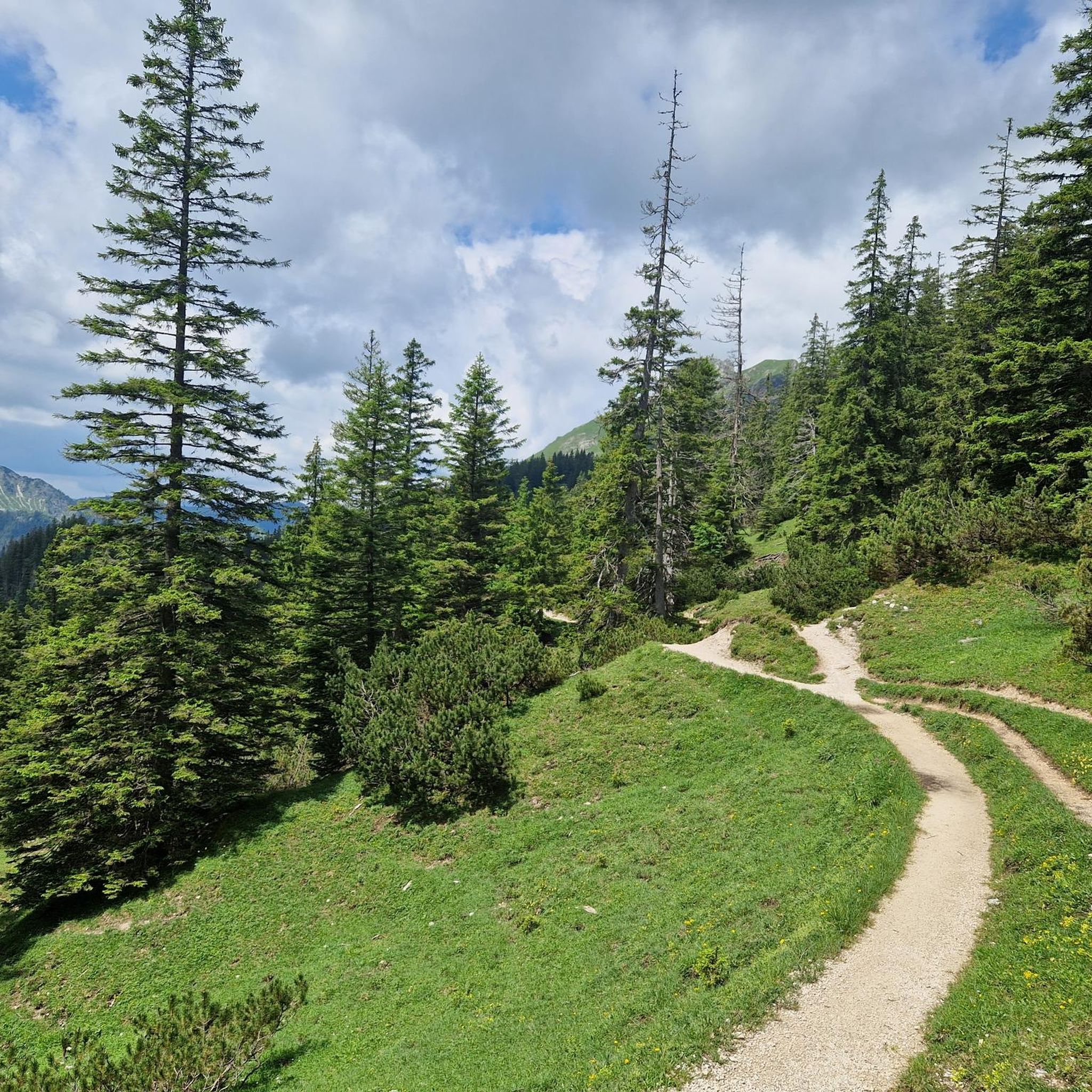
Hiking around Rullac-Saint-Cirq offers exploration of a rural commune in the Aveyron department, characterized by extensive forest trails and varied topography. The region's altitudes range from 369 meters to 671 meters, providing diverse terrain for hiking. Situated in the Ségala area, the landscape features chestnut, hazelnut, and beech forests, wild streams, and the Céor River forming part of its northern border. This environment supports a network of hiking routes suitable for different preferences.
Best hiking trails around Rullac-Saint-Cirq
- The most…
Last updated: June 26, 2026
4.3
(3)
26
hikers
9.57km
02:43
210m
210m
Moderate hike. Good fitness required. Easily-accessible paths. Suitable for all skill levels.
5.0
(2)
20
hikers
9.48km
02:50
290m
290m
Moderate hike. Good fitness required. Easily-accessible paths. Suitable for all skill levels.

Sign up for free
4.5
(2)
11
hikers
15.5km
04:39
480m
480m
Moderate hike. Good fitness required. Easily-accessible paths. Suitable for all skill levels.
5.0
(1)
8
hikers
13.1km
03:43
300m
300m
Moderate hike. Good fitness required. Easily-accessible paths. Suitable for all skill levels.
3
hikers
3.77km
01:04
80m
80m
Easy hike. Great for any fitness level. Easily-accessible paths. Suitable for all skill levels.
Get access to more routes and recommendations from other explorers.
Sign up for free
Already have an account?
Our route recommendations are based on thousands of hikes, rides, and runs completed by other people on komoot.
Start today with a free account
Your next adventure awaits.
Login or Signup


Tips from the Community

Beautiful mushroom rock in a cool, wooded setting
1
0

Gothic church overlooking the village
0
0

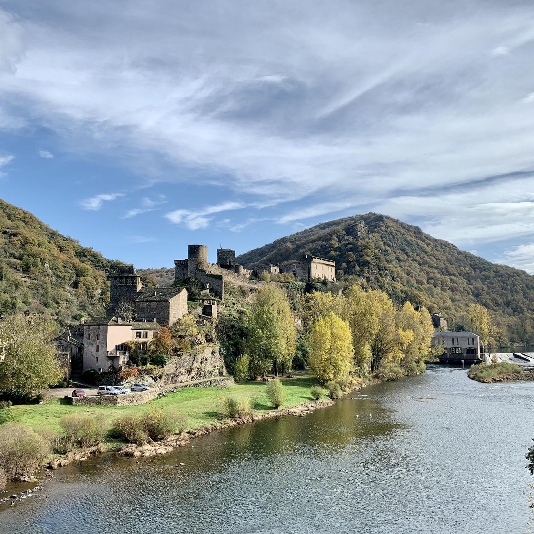
From the Lincou bridge, the view of the Tarn which meanders through this part of the valley is superb.
1
0

Church built in the 3rd century on the site of the Château chapel. The fortified bell tower dates from the 15th century. It has been largely rebuilt but retains a certain charm, proudly overlooking the Céor.
2
0

The charming village of Lincou on the edge of the Tarn is located between Millau and Albi.
2
0
Frequently Asked Questions
What kind of terrain can I expect on hikes around Rullac-Saint-Cirq?
The region of Rullac-Saint-Cirq is characterized by varied terrain, with altitudes ranging from 369 meters to 671 meters. You'll find extensive forest trails, particularly through chestnut, hazelnut, and beech forests, alongside wild streams and river valleys. This diverse landscape provides dynamic and engaging routes for hikers.
Are there any easy hiking trails suitable for beginners or casual walkers?
Yes, Rullac-Saint-Cirq offers several options for easier walks. Out of the 9 available routes, 3 are classified as easy, making them suitable for beginners or those looking for a more relaxed experience. These trails often wind through the region's serene woodlands.
Can I find circular hiking routes in Rullac-Saint-Cirq?
Absolutely. Many of the trails in the area are designed as loops, allowing you to start and end at the same point. For example, the Champignon de Peyrelevade loop from Salmiech is a popular moderate route, and the Miramont Rock loop from Tréban also offers a circular path.
What natural features or landmarks can I see while hiking in the area?
Rullac-Saint-Cirq is rich in natural beauty and historical sites. You can discover the scenic Paydol waterfall via dedicated walking paths. The region also features the Céor River, which forms part of its northern border, and offers views of the Ségala area's 'great reliefs' and peaceful lakes. Historically, the Church of Saint-Cirq, perched on a rocky outcrop, provides panoramic views.
Are there any historical sites accessible via hiking trails?
Yes, the region blends natural beauty with historical interest. The Reycabrot Site features a prehistoric cave (the oldest inhabited cave in Aveyron) and a renovated climbing site. Additionally, the Templar Church of Saint-Laurent and the Chapel of la Serre are renovated heritage sites that can be integrated into your walking routes, offering a glimpse into the area's past.
What is the best time of year to go hiking in Rullac-Saint-Cirq?
The varied terrain and extensive forests of Rullac-Saint-Cirq make it enjoyable for hiking across multiple seasons. Spring and autumn offer pleasant temperatures and vibrant foliage, while summer is ideal for exploring the shaded forest trails. The region's natural features, like the Paydol waterfall, are particularly beautiful after rainfall.
What do other hikers say about the trails in Rullac-Saint-Cirq?
The hiking routes in Rullac-Saint-Cirq are highly regarded by the komoot community, with an average score of 4.7 stars from over 8 reviews. Hikers often praise the quiet woodlands, varied terrain, and the sense of immersion in nature that the trails provide.
Are there any longer hiking routes for experienced hikers?
For those seeking a longer challenge, the Lincou Valley – Bridge over the Tarn at Lincou loop from Réquista is a notable option. This moderate trail spans 9.6 miles (15.5 km) and takes approximately 4 hours 39 minutes to complete, leading through river valleys and past historical elements.
Is it possible to find routes that offer good viewpoints?
Given the region's varied topography and altitudes up to 671 meters, many trails offer rewarding viewpoints. The Church of Saint-Cirq, for instance, is situated on a rocky outcrop, providing excellent panoramic vistas for those who hike to it. Routes like the Miramont Rock loop from Tréban are also known for potential scenic overlooks.
How many hiking trails are available in the Rullac-Saint-Cirq area?
There are 9 hiking routes documented in the Rullac-Saint-Cirq area, catering to various preferences. These include 3 easy trails and 6 moderate trails, ensuring options for different skill levels.
Are the trails around Rullac-Saint-Cirq suitable for families?
Yes, with 3 easy trails available, Rullac-Saint-Cirq offers suitable options for families. These routes provide a gentle introduction to hiking amidst the region's beautiful forests and natural landscapes, allowing for an enjoyable outdoor experience for all ages.
What is the typical elevation gain on hikes in Rullac-Saint-Cirq?
The elevation gain varies depending on the route, reflecting the region's diverse topography. For example, the Signal de La Gaste loop from Durenque has an elevation gain of approximately 303 meters, while the Château du Bosc loop from Camjac involves about 196 meters of ascent. This range provides options for different fitness levels.

Get inspired with the komoot mobile app


Explore more
Browse the best Hikes in other regions.
