The best walks and hikes around Bourret
4.4
(31)
273
hikers
41
hikes
Hiking around Bourret offers access to a network of trails characterized by flat to gently rolling terrain, often following canals and circling small lakes. The region's landscape primarily features agricultural areas interspersed with waterways, providing accessible paths for various activity levels. Elevation changes are minimal across most routes, making the area suitable for leisurely walks.
Best hiking trails around Bourret
- The most popular hiking route is Montech Water Slope – Montech Canal loop from Montech, a 2.6 miles (4.1…
Last updated: October 12, 2026
4.5
(2)
12
hikers
11.1km
02:48
20m
30m
Moderate hike. Good fitness required. Easily-accessible paths. Suitable for all skill levels.
11
hikers
3.21km
00:49
10m
10m
Easy hike. Great for any fitness level. Easily-accessible paths. Suitable for all skill levels.

3
hikers
5.74km
01:30
40m
40m
Easy hike. Great for any fitness level. Easily-accessible paths. Suitable for all skill levels.
9
hikers
7.84km
02:02
50m
50m
Moderate hike. Good fitness required. Easily-accessible paths. Suitable for all skill levels.
5.0
(1)
6
hikers
14.9km
03:57
150m
150m
Moderate hike. Good fitness required. Easily-accessible paths. Suitable for all skill levels.
Get access to more routes and recommendations from other explorers.
Already have an account?
Our route recommendations are based on thousands of hikes, rides, and runs completed by other people on komoot.
Start today with a free account
Your next adventure awaits.

Tips from the Community

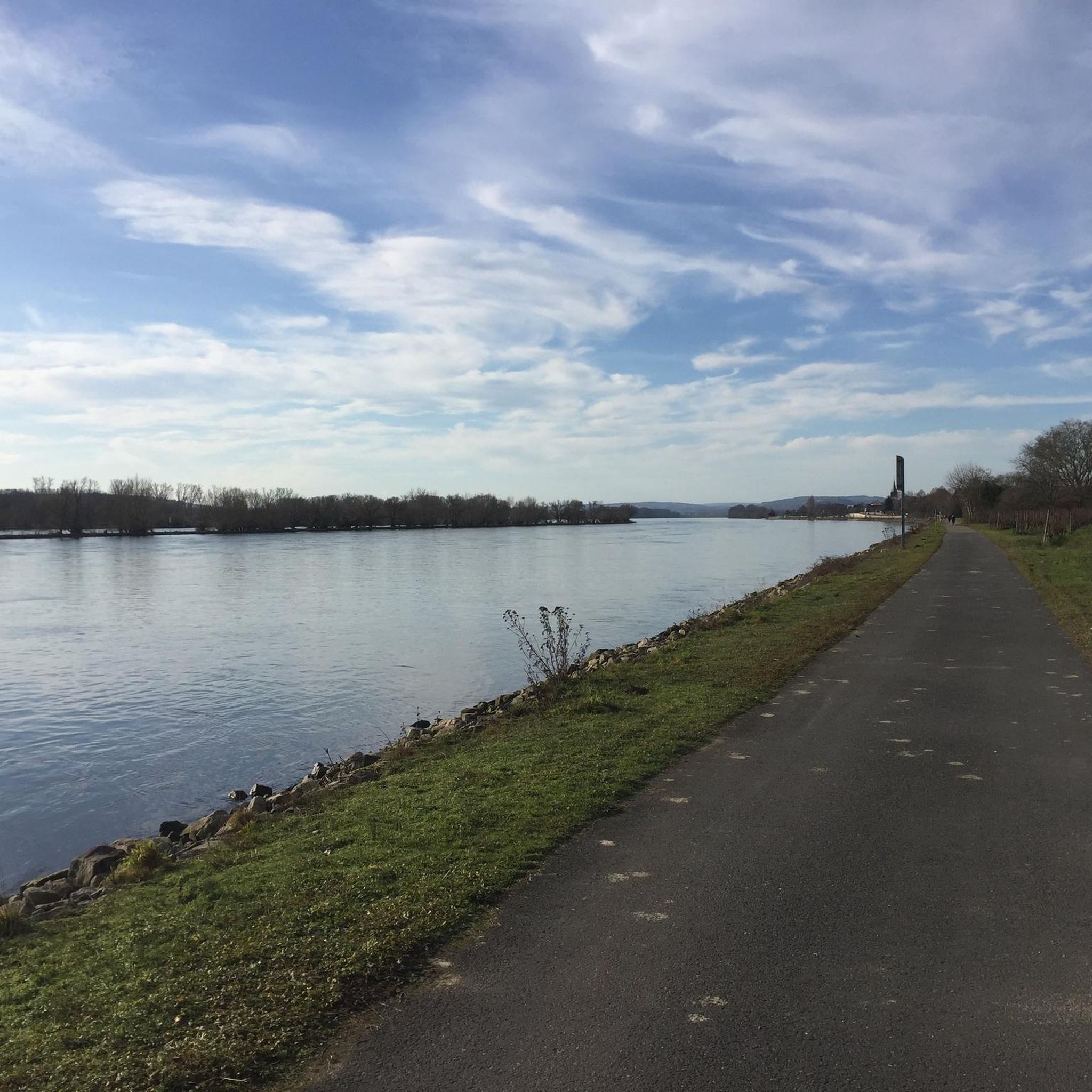
The Montech canal, 12km long, connects the Canal de Garonne (at Montech) to the Tarn river, in Montauban. It is bordered by two paths, one on each bank.
0
0


Very smooth section of the canal with little traffic. Be careful of a section on the bridge with large cobblestones.
0
0

Very pretty canal, very bucolic, with pretty lock houses...
0
0

The Montech Canal joins the lateral canal of the Garonne
1
0

Intersection between the Canal de Montech and the Canal de la Garonne.
0
0

Here the Canal de Montech branches off from the Canal Lateral du Garonne to Montauban. The Canal Lateral du Garonne is also divided, once via the locks and then to the Pente d'Eau de Montech. There is a nice tourist information office for the Pente d'Eau de Montech right opposite. More information: https://www.pentedeaudemontech.fr/
5
0
Frequently Asked Questions
How many hiking trails are available around Bourret?
There are over 30 hiking routes around Bourret, ranging from easy strolls to more moderate excursions. The area is particularly known for its flat to gently rolling terrain, making it accessible for various activity levels.
Are there any easy, family-friendly hikes in Bourret?
Yes, Bourret offers many easy routes suitable for families. A great option is the Lac du Boulet loop from Combe-Cave, which is just under 2 miles (2.9 km) and takes about 45 minutes to complete, following pleasant lakeside paths.
What kind of terrain can I expect on hikes around Bourret?
The hiking trails around Bourret are characterized by flat to gently rolling terrain, often following canals and circling small lakes. You'll primarily encounter agricultural areas interspersed with waterways, providing accessible paths with minimal elevation changes.
Are there any circular hiking routes near Bourret?
Many routes in the Bourret area are circular. For example, the popular Lac de Camp de Motte loop from Finhan is a moderate 6.9 miles (11.1 km) path offering views of the lake and rural scenery. Another option is the Lac du Boulet – Lac de Combe-Cave loop from Saint-Sardos, an easy 4-mile (6.5 km) trail.
What are some interesting landmarks or attractions to see while hiking?
Many trails offer views of local attractions. For instance, the Montech Water Slope – Montech Canal loop from Montech follows the historic Montech Canal and passes the unique Montech Water Slope. You might also encounter rural castles, such as on the Frescati Castle loop from Mas-Grenier.
What do other hikers enjoy most about the trails in Bourret?
The trails in Bourret are highly rated by the komoot community, with an average score of 4.0 stars. Hikers often praise the peaceful canal-side walks, the scenic lake loops, and the overall accessibility of the routes for various fitness levels.
Is Bourret a good destination for winter hiking?
Given the region's flat to gently rolling terrain and minimal elevation changes, many trails around Bourret remain accessible for winter hiking, provided weather conditions are safe. Always check local forecasts and trail conditions before heading out.
Are dogs allowed on the hiking trails in Bourret?
Generally, dogs are welcome on trails in rural areas like Bourret. However, it's always recommended to keep your dog on a leash, especially when passing through agricultural land or near livestock, and to respect local signage regarding pet access.
What is the best time of year to go hiking in Bourret?
Spring and autumn are ideal for hiking in Bourret, offering pleasant temperatures and beautiful scenery. Summer can also be enjoyable, especially for early morning or late afternoon walks along the shaded canal paths. Winters are generally mild, allowing for year-round activity.
Are there any public transport options to access hiking trailheads near Bourret?
While Bourret is a rural area, some larger towns nearby may have limited public transport connections. For direct access to specific trailheads, driving is often the most convenient option. It's advisable to check local bus schedules for routes connecting to villages near your chosen starting point.
Where can I find parking for hiking trails in Bourret?
Parking is typically available in the villages or small towns where many of the trails begin, such as Montech, Finhan, or Mas-Grenier. Look for designated parking areas near town centers or trail access points. Always park responsibly and respect private property.
Most popular attractions around Bourret

Get inspired with the komoot mobile app


Explore more
Browse the best Hikes in other regions.
