The best mountain hikes around Triora
5.0
(1)
13
hikers
3
hikes
Mountaineering routes around Triora are situated in the Ligurian Alps, characterized by rugged, rocky peaks and dense forests. The terrain offers significant elevation changes, leading through alpine meadows and along exposed ridges. This mountainous region provides a challenging environment for experienced mountaineers. The landscape is defined by its dramatic slopes and panoramic views over the surrounding valleys.
Best mountaineering routes around Triora
- The most popular mountaineering route is Mont Torrage / Monte Toraggio loop from Colla Melosa, a 8.6…
Last updated: August 18, 2026
6
hikers
13.9km
06:26
970m
970m
Hard mountaineering route. Very good fitness required. Sure-footedness, sturdy shoes and alpine experience required.
5.0
(1)
4
hikers
15.7km
05:49
840m
840m
Hard mountaineering route. Very good fitness required. Mostly accessible paths. Sure-footedness required.

Sign up for free
3
hikers
15.1km
07:09
1,130m
1,120m
Hard mountaineering route. Very good fitness required. Mostly accessible paths. Sure-footedness required.
Our route recommendations are based on thousands of hikes, rides, and runs completed by other people on komoot.
Start today with a free account
Your next adventure awaits.
Login or Signup
Popular around Triora
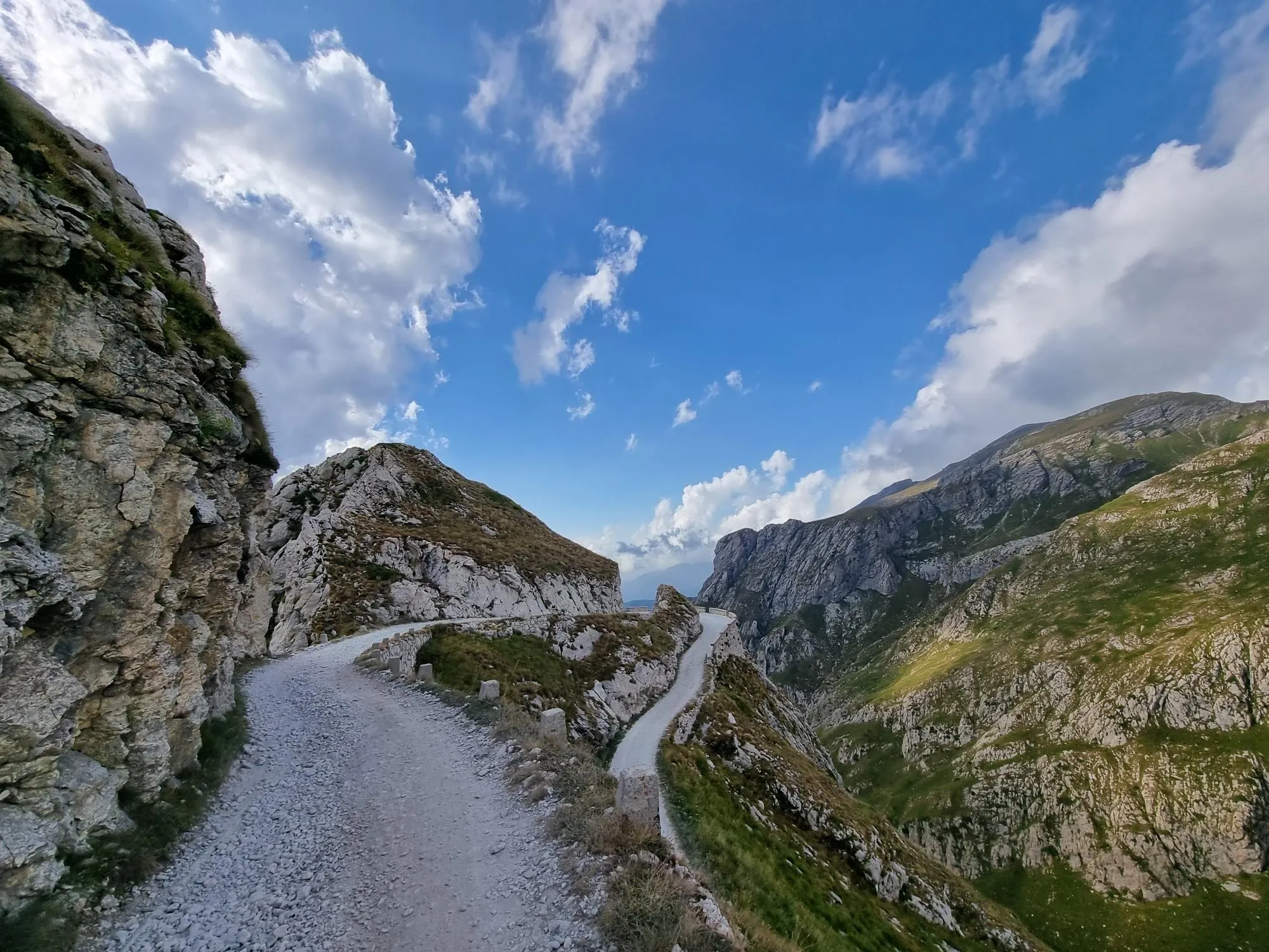
Hunting for white gold in the Mediterranean Alps – Alta Via del Sale
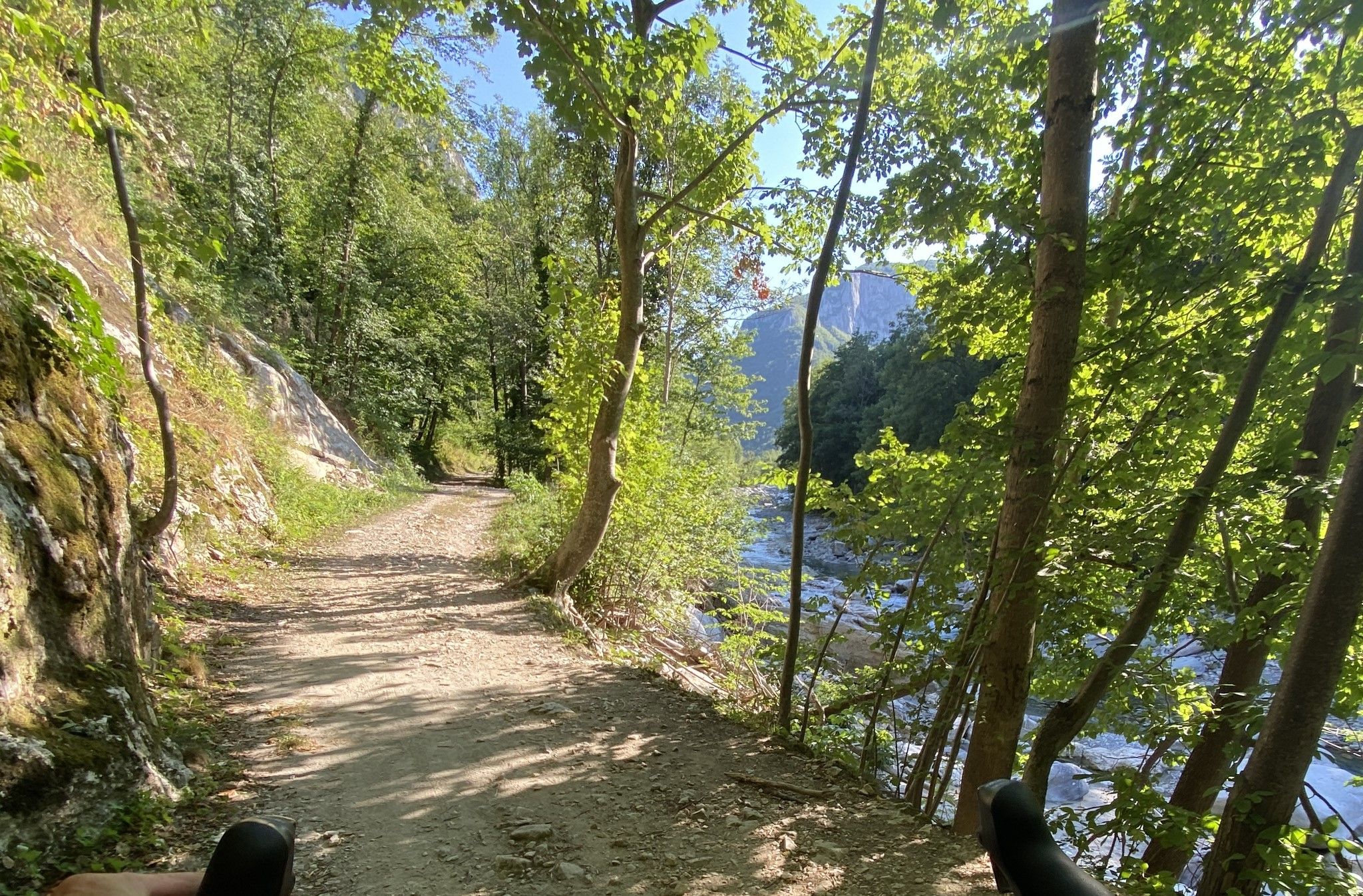
Cycling along the Tanaro River – Grantanarando
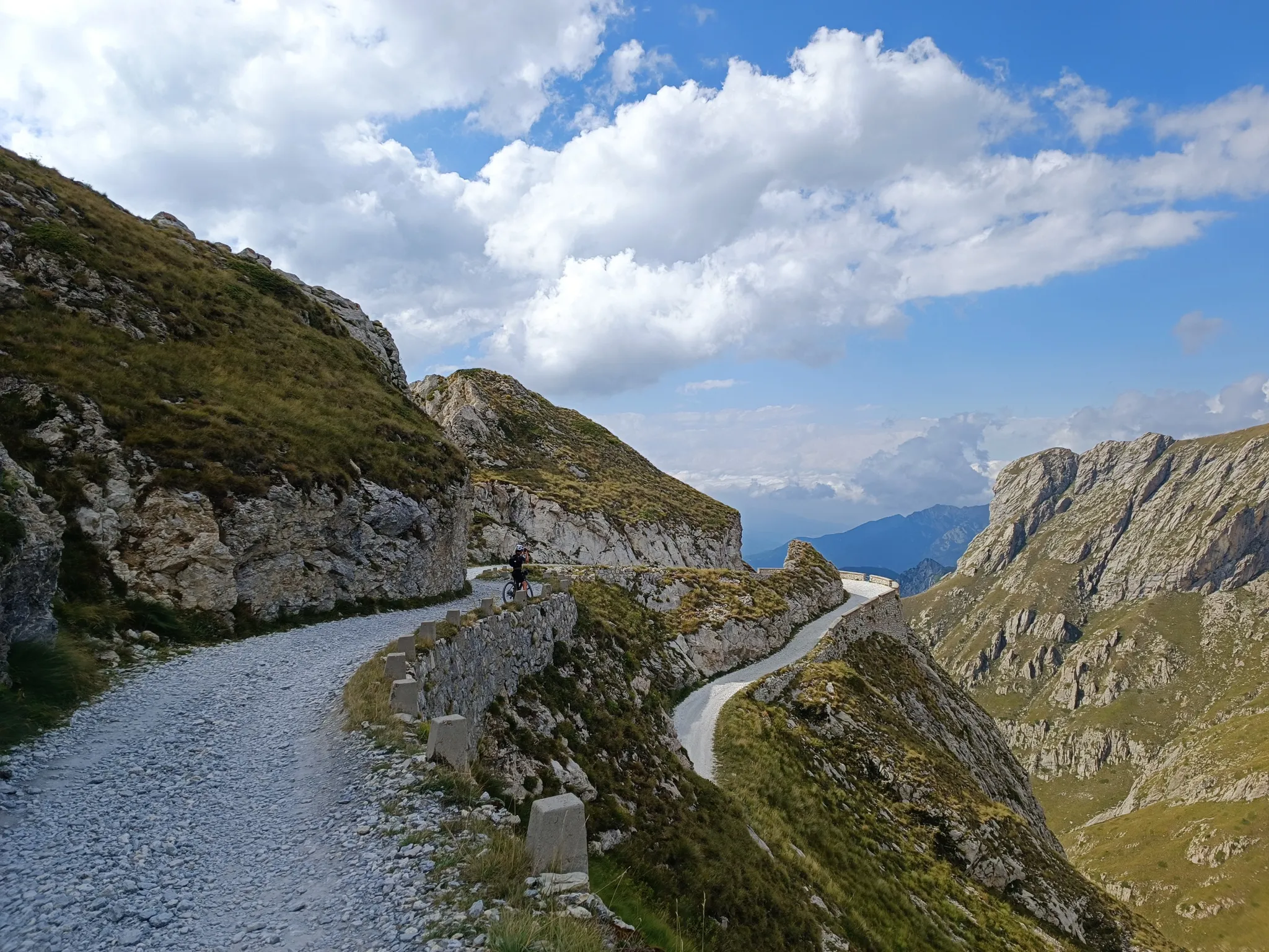
Gravel roads and serpentines – Mediterranean Alps Cycle Route
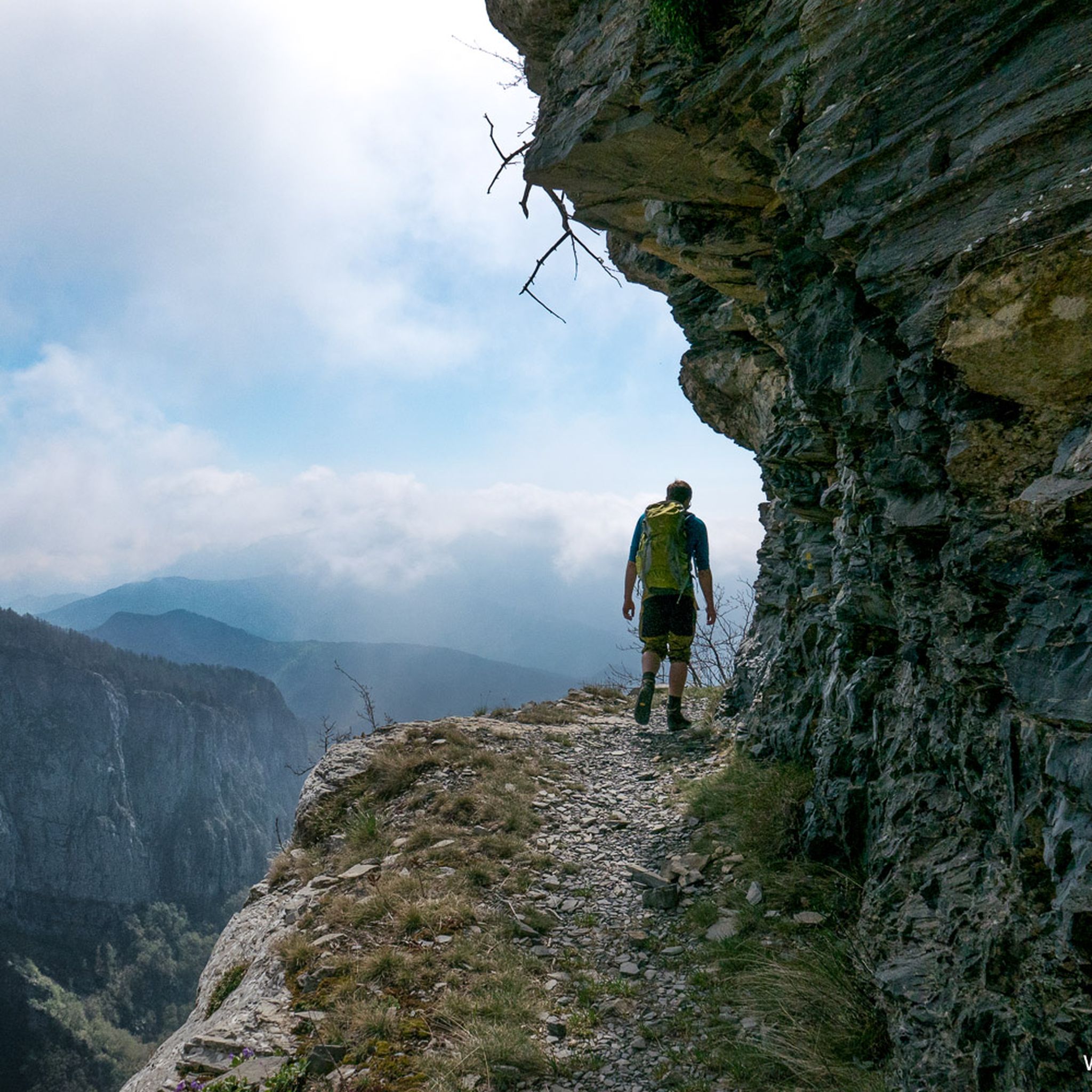
Hiking around Triora
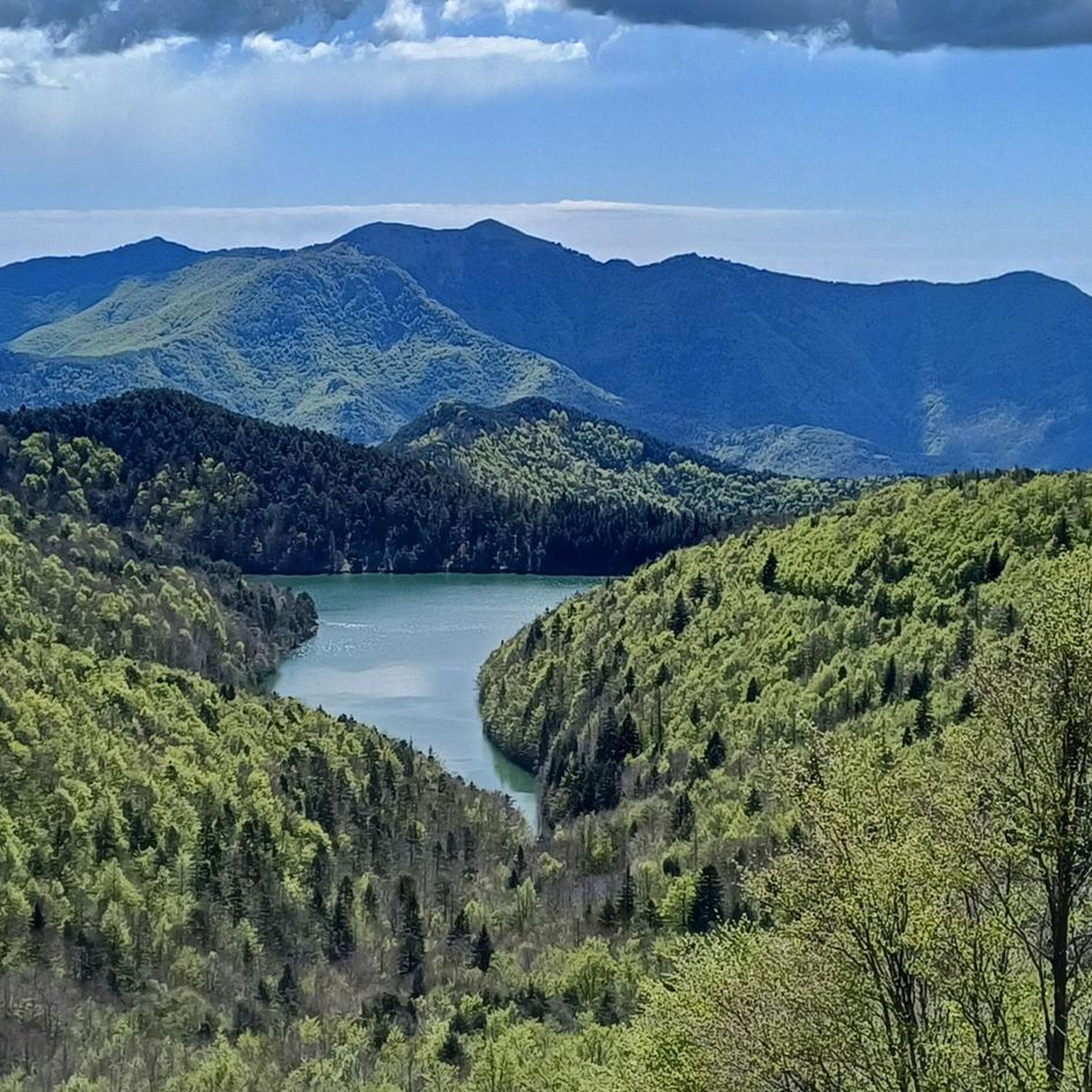
MTB Trails around Triora
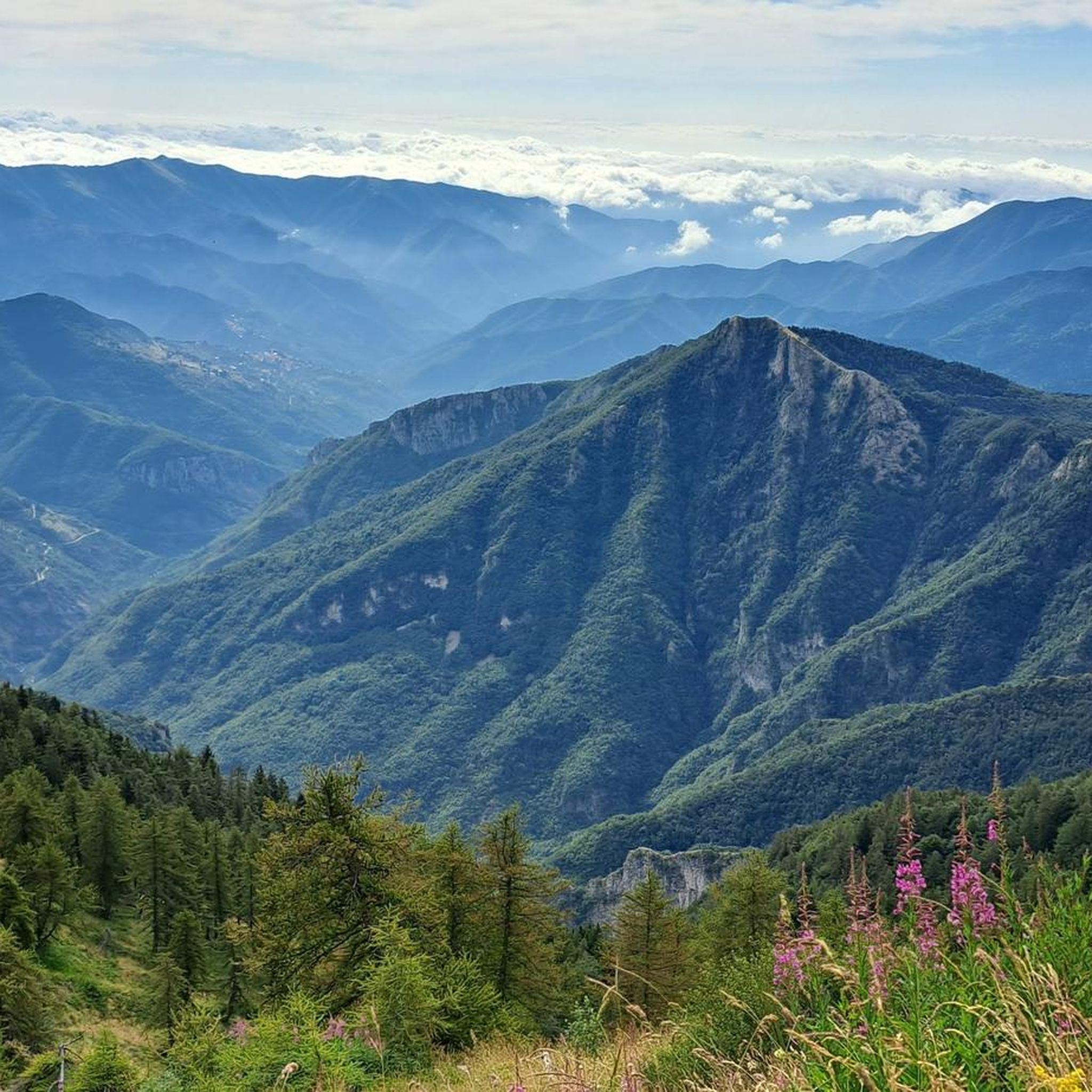
Road Cycling Routes around Triora
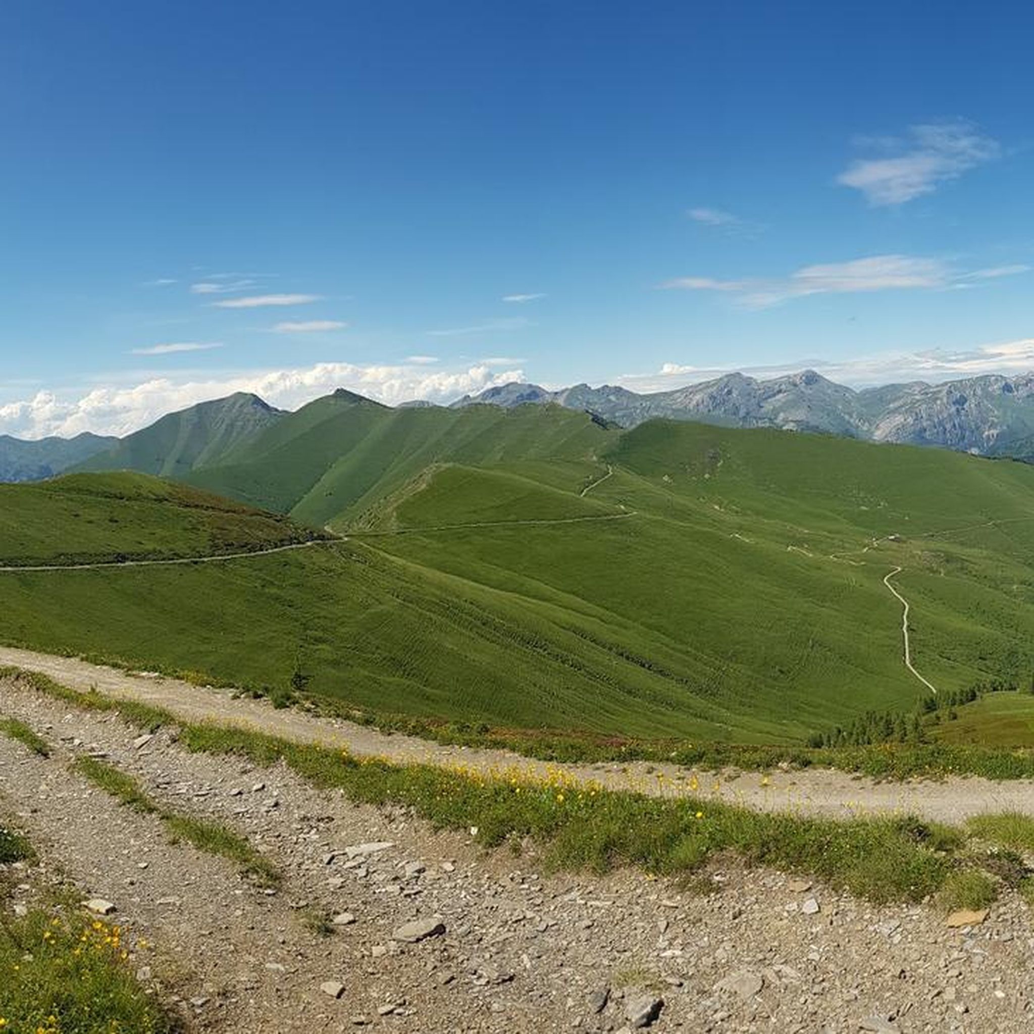
Cycling around Triora
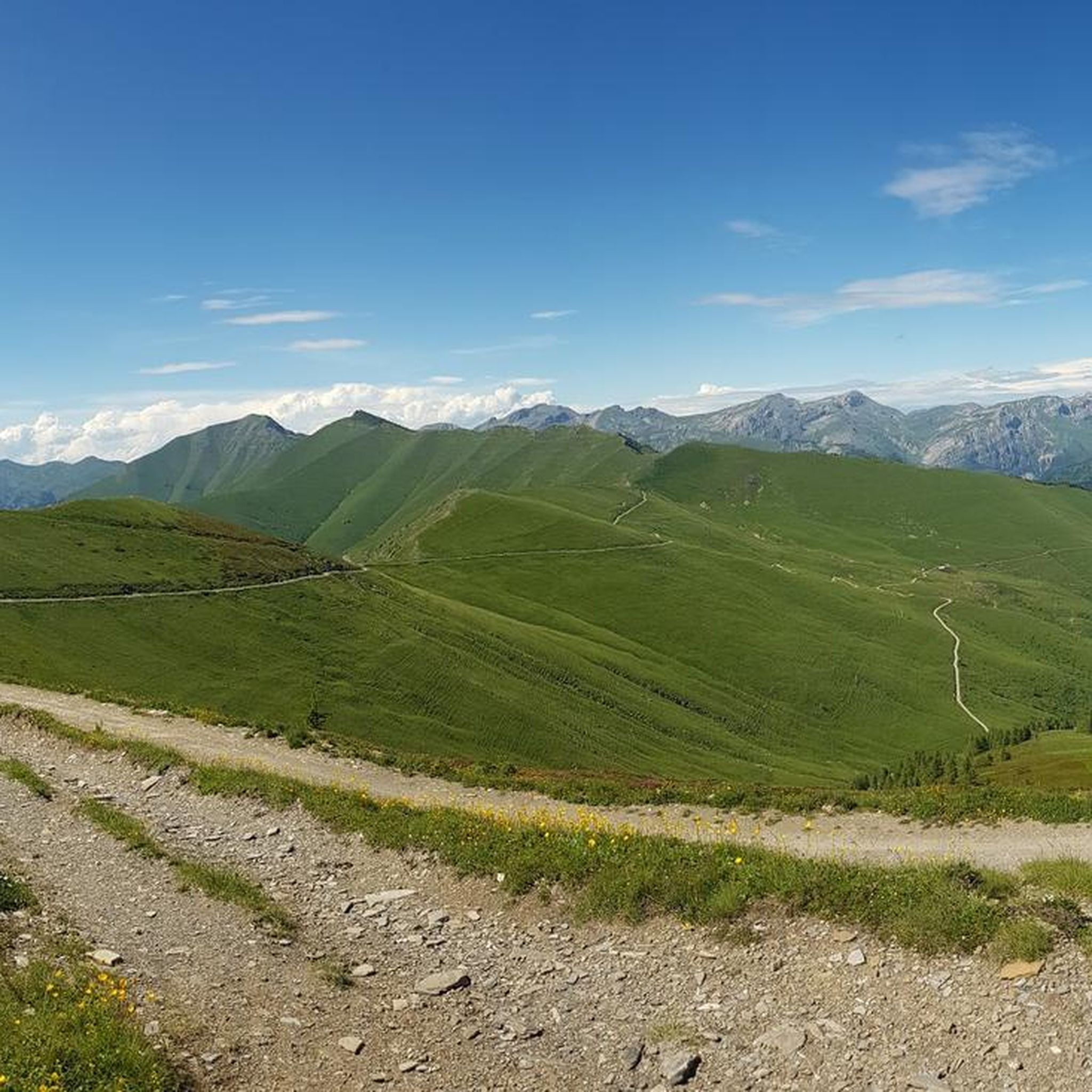
Running Trails around Triora

Gravel biking around Triora
Other adventures around Triora


Tips from the Community

Bivouac in a very scenic position along the ridge that connects the Fronté to the Saccarello, in a strategic position for treks that climb from the sea to the Alps
0
0
Refuge-hotel located in a very panoramic position
0
0

Starting October 1, 2023, reservations for the Sanremo Refuge will be managed remotely using the Bivypass system, accessible at www.parks.it/rif/sanremo. Once your reservation is complete and payment is made, the system will send you a numeric code valid for one day that will open the refuge's entrance door. Guests are kindly requested to complete the attached file with their contact information and send it to inforifugio@caisanremo.it. ATTENDANCES-RIF-SANREMO For clarifications or information, please contact the following numbers: Riccardo: +39 3474031293 Alberto: +39 3272274813 or write to the dedicated email address inforifugio@caisanremo.it
0
0

Bookable online by sending the access code via email. 24 beds.
0
0

The French side of the Tanarel is more suited to mountain bikes than gravel. At least half of the uphill section is unrideable, even if you're technically skilled. It's best to allow some extra time.
0
0

only a few meters long, not at all dangerous, bike in hand.
1
0

🗺️ A legendary itinerary that takes you into the wild heart of the Ligurian Alps. You'll walk suspended between sky and rocks, along a military path carved into the mountain during the war. 😲⛰️ 🔹 Tip: Start early in the morning and bring a sweatshirt: even in summer, the air up here is crisp! 🧥☀️ When you reach the summit, stop in silence and listen to the wind... the view will take your breath away: sea, mountains, wild valleys, and, if you're lucky, chamois roaming free! 🦌🌄
0
0

Neither the ascent nor the descent is particularly difficult; the climb is a narrow trail on a steep slope, while the descent to Ventimiglia follows a series of switchbacks on a singletrack trail (partially overgrown in summer). The section with the fixed rope is only a few meters long, where you actually have to hold the bike in your right hand; pushing isn't an option. But don't let that stop you from doing this route; the breathtaking views are truly worth it, and anyone can manage it. https://youtu.be/zjW_mgeyPfk
2
0
Frequently Asked Questions
What is the general difficulty level of mountaineering routes around Triora?
Mountaineering routes in the Triora area are generally considered difficult. They are designed for experienced individuals seeking demanding mountain adventures, featuring significant elevation changes, rugged terrain, and exposed ridges in the Ligurian Alps.
Are there any family-friendly mountaineering options near Triora?
The mountaineering routes highlighted in this guide are all rated as difficult, making them less suitable for families with young children or beginners. The terrain involves challenging ascents and rugged conditions. For easier options, you might consider other types of hiking trails in the wider Ligurian Alps region.
What is the typical duration for mountaineering routes in Triora?
The mountaineering routes around Triora typically range from 5 to 7 hours to complete. For example, the Mont Torrage / Monte Toraggio loop from Colla Melosa takes approximately 6 hours 26 minutes, while the Steep Rubble Climb loop from Viozene can take over 7 hours.
Are there any circular mountaineering trails available in the Triora area?
Yes, several mountaineering routes around Triora are circular. Popular options include the Mont Torrage / Monte Toraggio loop from Colla Melosa, the Steep Rubble Climb loop from Viozene, and the Cima Valletta della Punta – Mont Saccarel loop from Piaggia.
What is the best time of year for mountaineering around Triora?
The Ligurian Alps, where Triora is located, are best for mountaineering during the late spring, summer, and early autumn months (typically May to October). During these periods, snow has usually melted from higher elevations, and weather conditions are generally more stable. Always check local forecasts before heading out.
What kind of terrain can I expect on these mountaineering routes?
You can expect rugged, rocky peaks, dense forests, and significant elevation changes. The routes often lead through alpine meadows and along exposed ridges, characteristic of the Ligurian Alps. The terrain is challenging and requires good physical condition and experience.
Are there any interesting landmarks or points of interest near the mountaineering routes?
While the focus is on the challenging mountain environment, the wider region offers points of interest. You can find mountain passes like Pas du Tanarel or Colle d'Oggia. There are also huts such as Allavena Hut – Colle Melosa which can be points of reference.
What do other mountaineers say about the routes in Triora?
The mountaineering routes in Triora are highly rated by the komoot community, with an average score of 5.0 stars from several reviews. Mountaineers often praise the challenging nature of the trails and the dramatic scenery of the Ligurian Alps.
Are there any specific permits required for mountaineering in the Triora area?
Generally, specific permits are not required for mountaineering on established trails in the Triora area of the Ligurian Alps. However, it's always advisable to check with local authorities or park information centers for any updated regulations, especially if you plan to venture into protected areas or during specific seasons.
What are the parking options for accessing mountaineering trails near Triora?
Access points for these routes, such as Colla Melosa, Viozene, Piaggia, and Verdeggia, typically offer parking facilities. It's recommended to arrive early, especially during peak season, as spaces can be limited. Always park responsibly and respect local signage.
Can I find cafes or refreshment stops along the mountaineering routes?
While the routes themselves are in rugged mountain terrain, some starting points or nearby villages like Viozene, Piaggia, or Verdeggia may offer cafes or small shops for refreshments. It's always best to carry sufficient water and snacks, as services directly on the trails are limited.
Are there any opportunities for wild swimming near the mountaineering routes?
The Ligurian Alps are characterized by rocky peaks and forests, and while there might be mountain streams, designated wild swimming spots directly along these challenging mountaineering routes are not common. For swimming, you might need to explore lower-altitude rivers or coastal areas further from the immediate mountaineering region.
Most popular attractions around Triora

Get inspired with the komoot mobile app


Explore more
Browse the best Mountain Hikes & Routes in other regions.
