The best mountain hikes around Antey-Saint-André
4.2
(4)
33
hikers
3
hikes
Mountaineering routes around Antey-Saint-André are situated in Italy's Aosta Valley, offering access to a diverse alpine landscape. The region is characterized by views of the Matterhorn, vast meadows, and coniferous forests, providing varied terrain for ascents. Located at approximately 1,100 meters above sea level, Antey-Saint-André serves as a starting point for exploring the surrounding peaks and valleys. The area features significant elevation changes and challenging conditions suitable for experienced mountaineers.
Best mountaineering routes around Antey-Saint-André
- The most popular mountaineering route…
Last updated: June 24, 2026
3.0
(1)
18
hikers
2.01km
00:58
180m
180m
Moderate mountaineering route. Great for any fitness level. Mostly accessible paths. Sure-footedness required.
7
hikers
13.9km
06:58
1,080m
1,080m
Hard mountaineering route. Very good fitness required. Sure-footedness, sturdy shoes and alpine experience required.

Sign up for free
4.5
(2)
4
hikers
15.4km
06:50
1,180m
1,180m
Hard mountaineering route. Very good fitness required. Mostly accessible paths. Sure-footedness required.
5.0
(1)
4
hikers
9.63km
04:38
740m
730m
Moderate mountaineering route. Good fitness required. Mostly accessible paths. Sure-footedness required.
Our route recommendations are based on thousands of hikes, rides, and runs completed by other people on komoot.
Start today with a free account
Your next adventure awaits.
Login or Signup
Popular around Antey-Saint-André
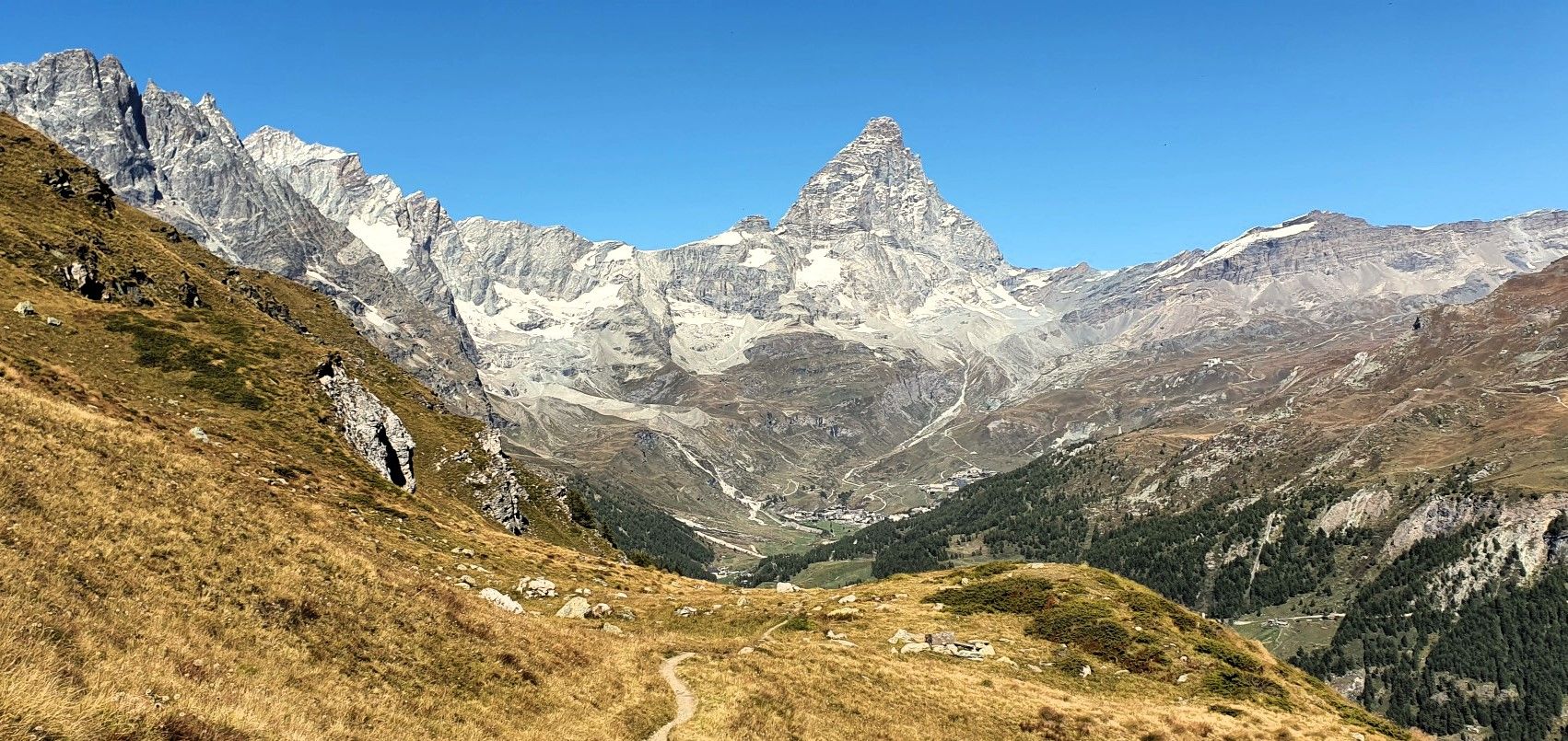
Running with the King – Great Balcony of the Matterhorn
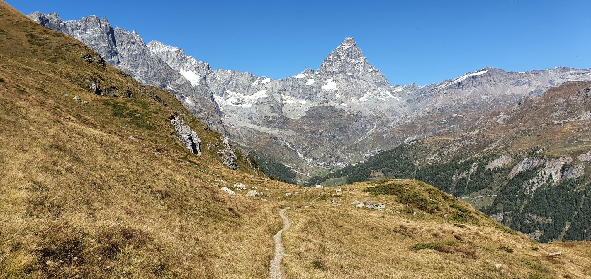
A breath away from the king — Grand Balcony of the Matterhorn
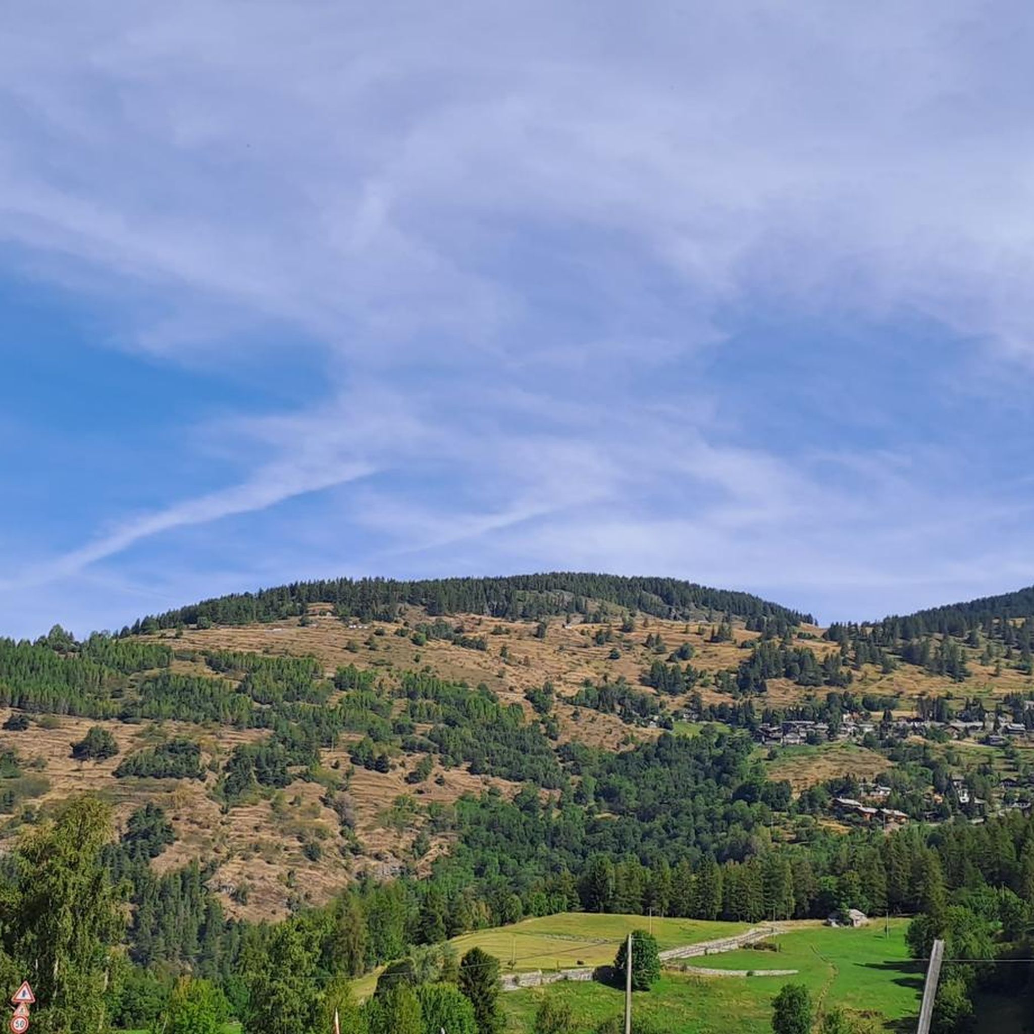
Hiking around Antey-Saint-André
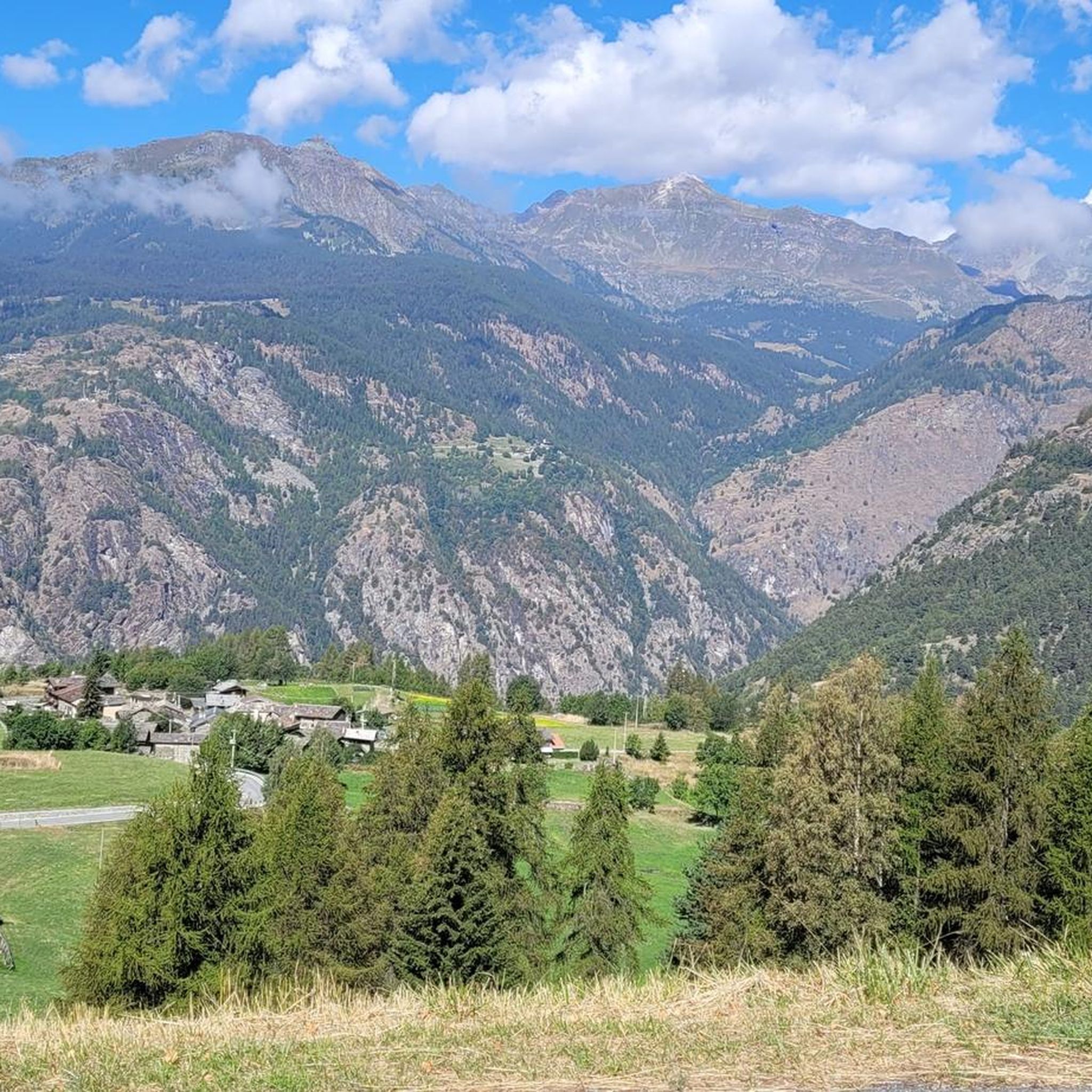
Road Cycling Routes around Antey-Saint-André
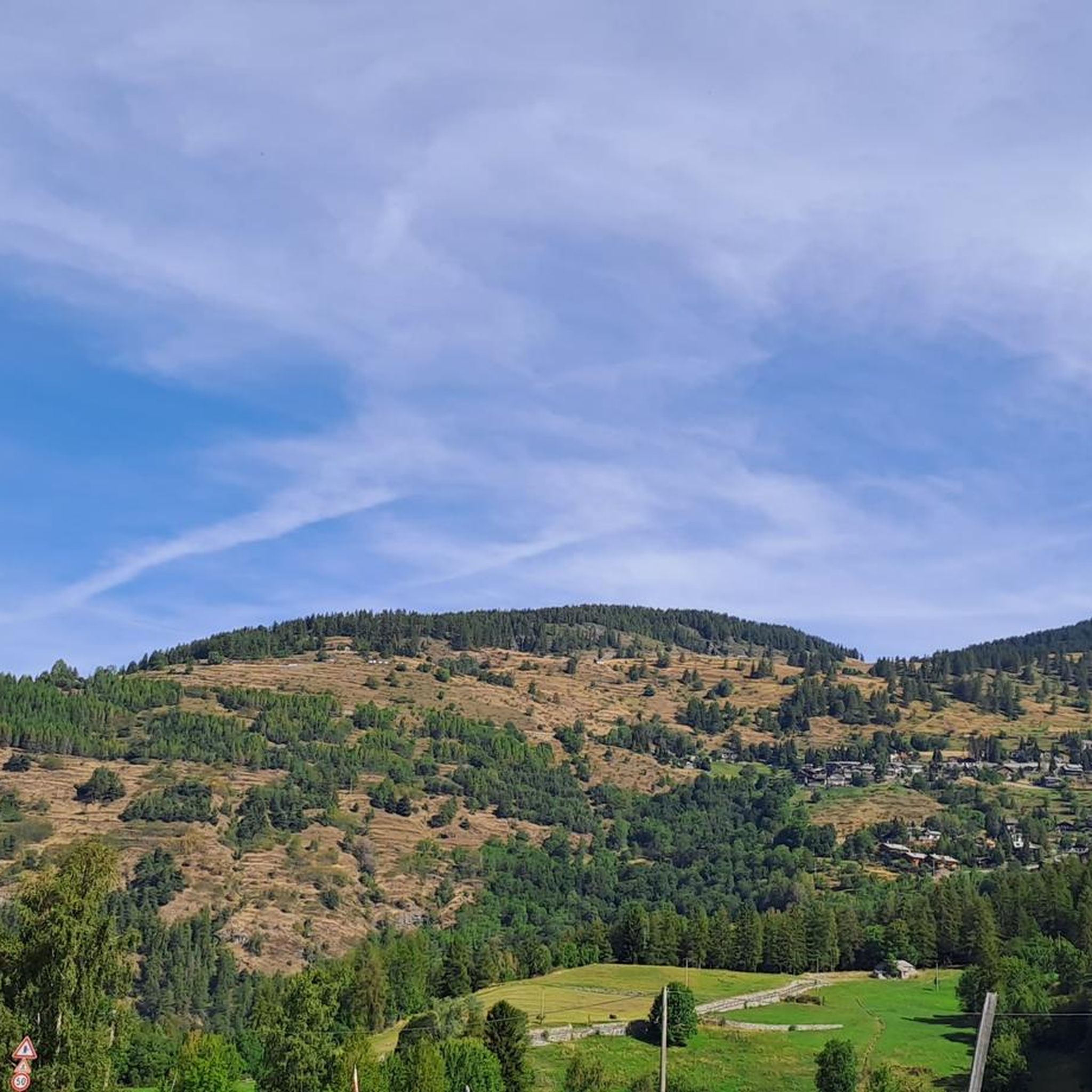
MTB Trails around Antey-Saint-André
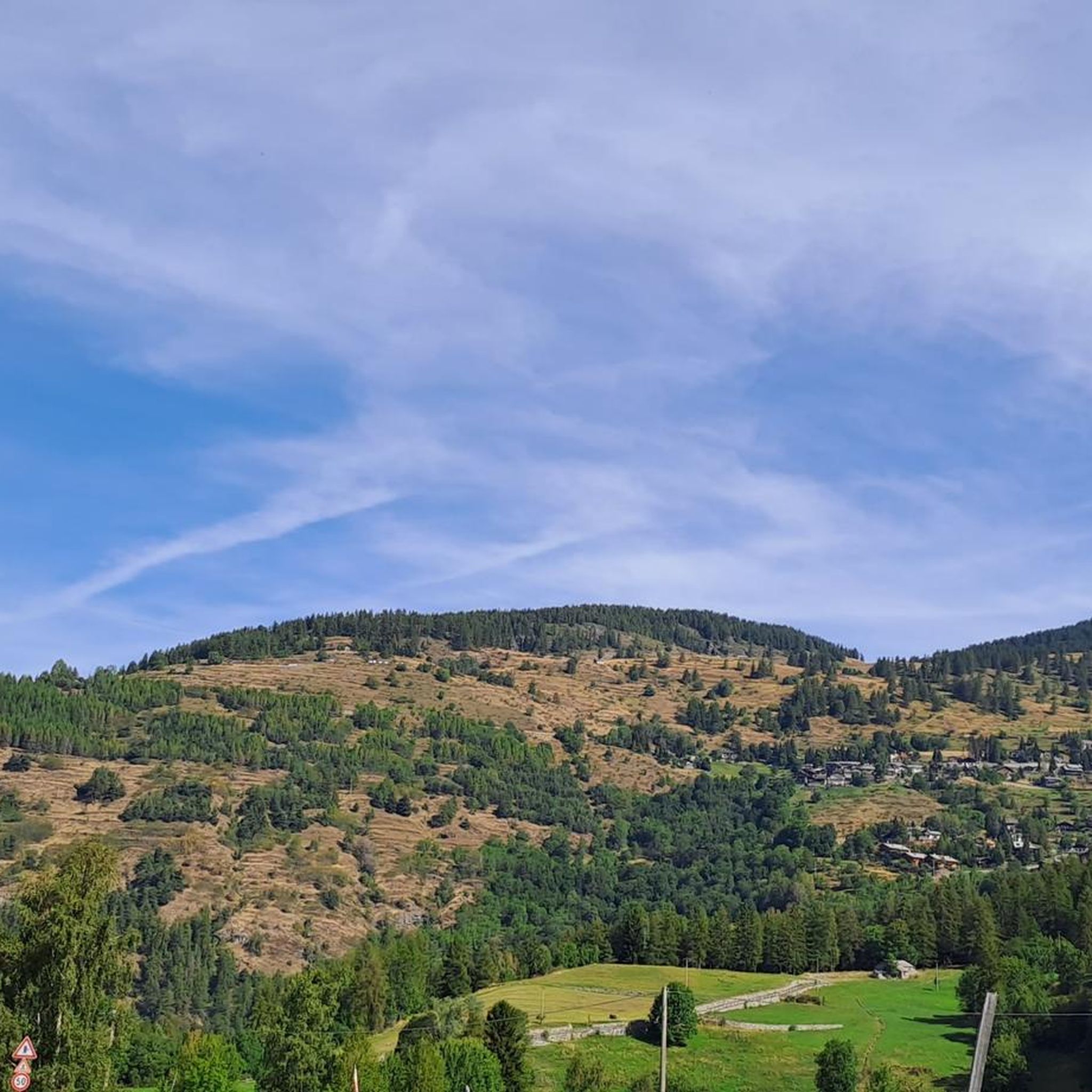
Cycling around Antey-Saint-André
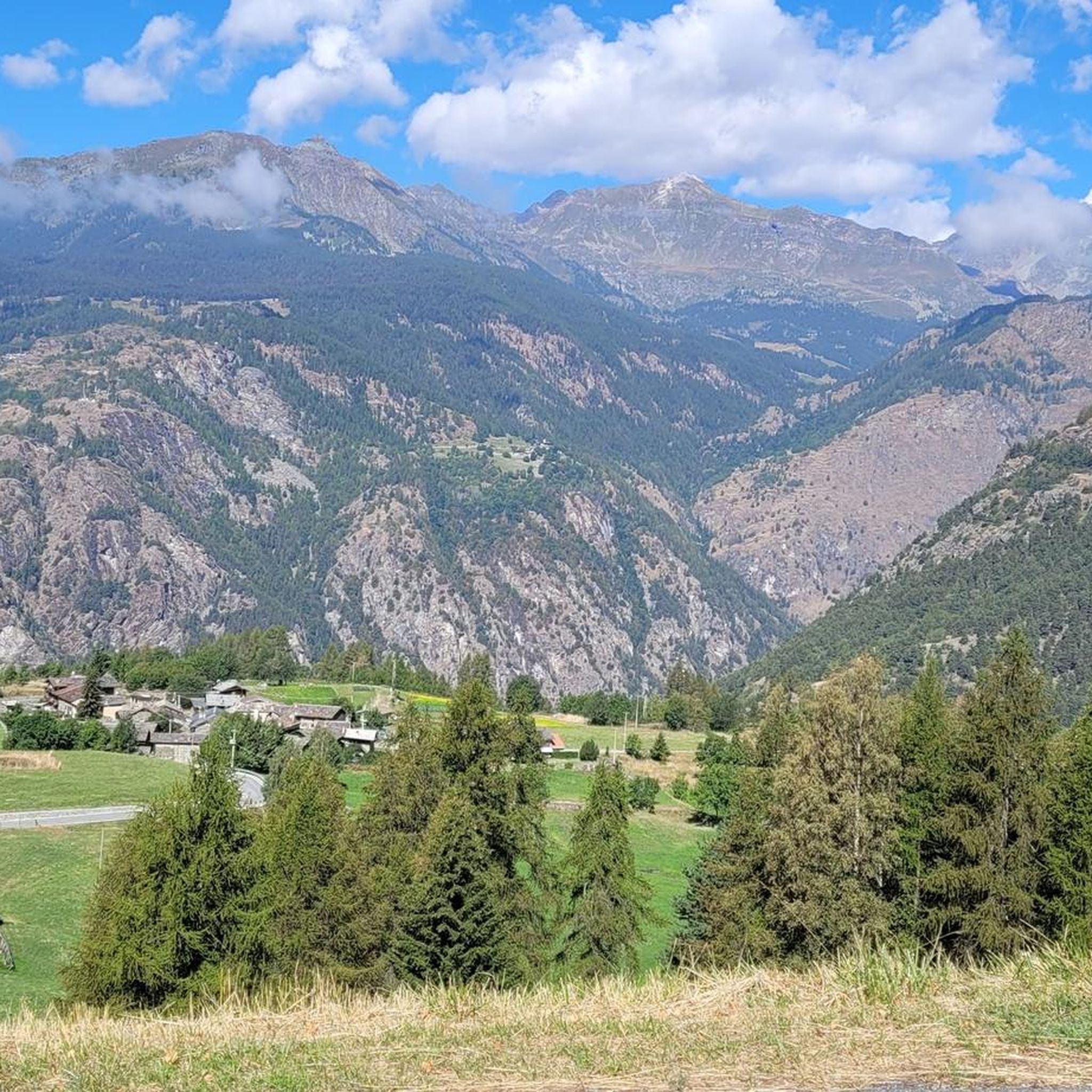
Running Trails around Antey-Saint-André

Gravel biking around Antey-Saint-André


Tips from the Community

Impressive view in good weather
0
0

Rifugio Jean Barmasse, at 2,169 meters above sea level in Valtournenche, is a welcoming refuge that welcomes hikers looking for tranquility and breathtaking views. Immersed in a unique natural setting, it offers a rustic and warm atmosphere, perfect for recharging your batteries after a day on trails and Alpine lakes. Its strategic position makes it an ideal starting point for exploring the wonders of Alta Via 1 and the surrounding mountains.
1
0
Falegnon is a mountain pasture located at 1,914 meters above sea level in Valtournenche. This small mountain village, once a lively center of pastoral activity, today features a combination of abandoned and renovated huts, immersed in a panoramic landscape characterized by large green meadows. Falegnon is an ideal crossing point for excursions to Lake Cignana or the Jean Barmasse Refuge, offering an authentic experience of traditional Alpine life.
1
0
Cunéaz is a small and authentic mountain village that seems to have stood still in time, nestled among the green slopes of the Aosta Valley. Its stone and wood houses tell stories of alpine life made of traditions, silence and slow rhythms. Walking through the narrow streets, you can breathe an atmosphere of calm and simplicity, with views that open onto woods and imposing peaks. Cunéaz is the perfect refuge for those seeking a corner of peace away from the chaos, a place where nature and local culture meet in harmony.
1
0
This spot features a stunning natural waterslide, where clear mountain water carves smooth, polished rock, inviting you to glide gently down its sparkling surface. Unlike a roaring waterfall, here the water flows calmly, creating a playful and refreshing passage perfect for a cool break on a warm day. It’s a hidden gem that blends fun and nature effortlessly.
1
0


Champoluc is a jewel of a village at the foot of Monte Rosa. Every corner tells the story of the mountain. It is an ideal starting point for some 4000 meters known throughout the world.
3
1

The resort of Champoluc is renowned for winter sports, from the small downhill skiing resort of Antagnod to the well-known facilities of the Monterosa Ski area of Frachey and Champoluc, which, with over 100 km of slopes, connect the Val d'Ayas, the Gressoney Valley and the Valsesia.
0
0
Frequently Asked Questions
What kind of mountaineering challenges can I expect around Antey-Saint-André?
Mountaineering routes in Antey-Saint-André are generally challenging, with 3 out of 5 routes listed as 'difficult' and 2 as 'moderate'. You can expect significant elevation changes and high alpine terrain, suitable for experienced mountaineers. For example, the Col Perrin loop from Champoluc involves over 1,000 meters of elevation gain.
Are there any circular mountaineering routes available?
Yes, several mountaineering routes around Antey-Saint-André are circular, allowing you to start and end in the same location. Examples include the View of Monte Rosa loop from Antagnod, the Col Perrin loop from Champoluc, and the Bosco Les Arsines – Bosco Francou loop from Lod.
What natural features and views can I expect to see on these mountaineering routes?
The routes offer breathtaking views of the iconic Matterhorn and the Monte Rosa massif. You'll traverse diverse landscapes, including vast meadows, dense coniferous forests, and high alpine terrain. The Aosta Valley is also known for its spectacular Alpine peaks like Mont Blanc and Gran Paradiso, which contribute to the stunning vistas.
Are there any waterfalls or other water features near the mountaineering trails?
Yes, the region boasts several beautiful water features. You can explore highlights such as the Mascognaz Waterfall, the Waterfall with Wooden Bridge, and the Busserailles Caves and Waterfall. These can be great additions to your mountaineering adventure or for a relaxing stop.
What is the best time of year for mountaineering in Antey-Saint-André?
The Aosta Valley, where Antey-Saint-André is located, generally benefits from a mild, sunny climate sheltered from winds. While specific seasonal recommendations for mountaineering depend on your experience and the route's altitude, the summer and early autumn months typically offer the most favorable conditions for high-altitude treks.
Are there any huts or places to rest along the mountaineering routes?
Yes, the area around Antey-Saint-André offers several huts and refuges. Notable options include Rifugio G.B. Ferraro, Rifugio Jean Barmasse, and Cuney Refuge and Oratory. These can provide opportunities for rest, shelter, or even overnight stays.
What do other mountaineers say about the routes in Antey-Saint-André?
The mountaineering routes in Antey-Saint-André are highly rated by the komoot community, with an average score of 4.4 stars from 5 reviews. Many mountaineers praise the varied terrain, from dense coniferous forests to open meadows, and the challenging alpine ascents that offer rewarding panoramic vistas.
Are there any Via Ferratas in the area for mountaineers seeking a different challenge?
Yes, the Aosta Valley is well-known for its 'iron paths' or Via Ferratas. One such route is the Ferrata del Gorbeillon loop from Valtournenche, which combines scrambling and climbing on steep trails with the aid of fixed cables and harnesses, providing thrilling views and a unique mountaineering experience.
What is the typical distance and elevation gain for mountaineering routes here?
The mountaineering routes around Antey-Saint-André vary in length and elevation. For example, the View of Monte Rosa loop from Antagnod is about 9.1 km with 782 meters of elevation gain, while the Bosco Les Arsines – Bosco Francou loop from Lod covers 15.3 km with 1,172 meters of ascent.
Are there any specific routes that offer views of the Matterhorn?
Antey-Saint-André is strategically located to offer constant and stunning views of the Matterhorn. While specific routes are not explicitly named for Matterhorn views in the provided data, the region itself is considered the gateway to the Cervino (Matterhorn) area, meaning many high-altitude routes will provide glimpses of this iconic peak.
How many mountaineering routes are available around Antey-Saint-André?
There are 5 distinct mountaineering routes detailed around Antey-Saint-André, offering a range of challenging experiences for outdoor enthusiasts.
Most popular routes around Antey-Saint-André
Most popular attractions around Antey-Saint-André

Get inspired with the komoot mobile app


Explore more
Browse the best Mountain Hikes & Routes in other regions.
