The best mountain hikes around Calice Ligure
5.0
(32)
239
hikers
6
hikes
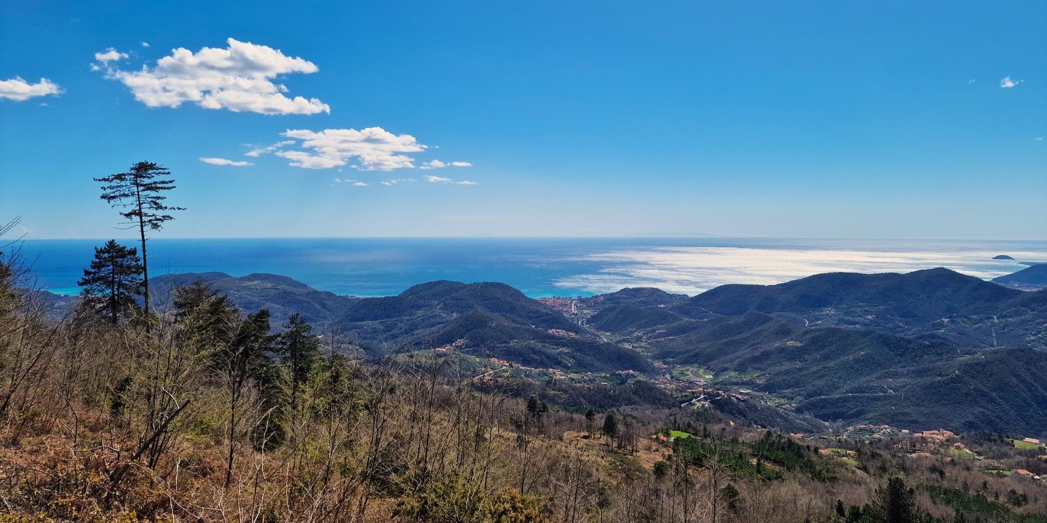
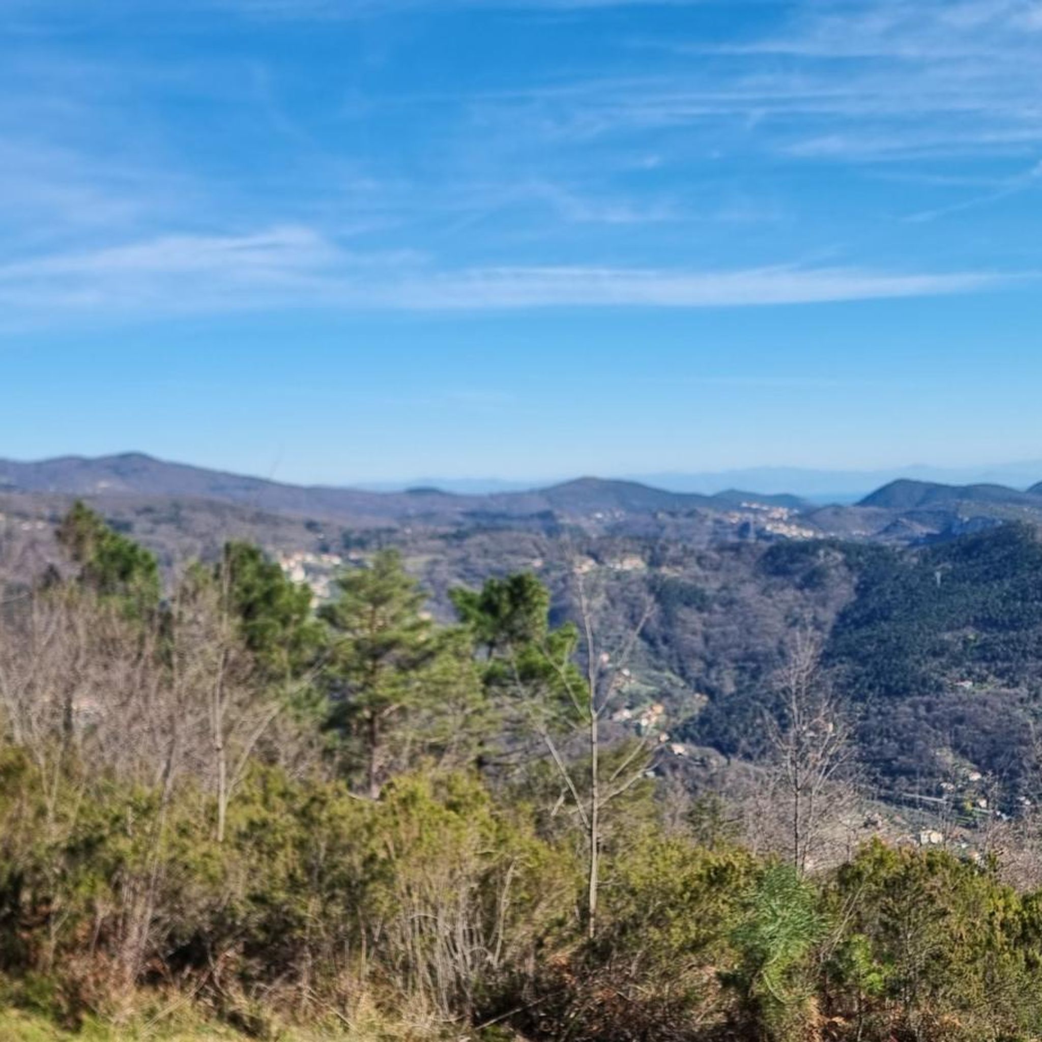
Mountaineering around Calice Ligure offers diverse terrain, characterized by rugged coastal hills and inland ridges that provide panoramic views of the Ligurian Sea and surrounding valleys. The region features a mix of Mediterranean scrub, pine forests, and rocky outcrops, creating varied conditions for ascents and descents. Elevations typically range from sea level to several hundred meters, presenting opportunities for both moderate and challenging routes.
Best mountaineering routes around Calice Ligure
- The most popular mountaineering route is Balzi Rossi Ridge loop…
Last updated: July 8, 2026
4.9
(24)
175
hikers
6.73km
04:49
660m
660m
Hard mountaineering route. Good fitness required. Sure-footedness, sturdy shoes and alpine experience required.
5.0
(2)
25
hikers
10.6km
03:23
390m
390m
Moderate mountaineering route. Good fitness required. Mostly accessible paths. Sure-footedness required.

Sign up for free
5.0
(4)
21
hikers
13.1km
06:14
790m
790m
Hard mountaineering route. Very good fitness required. Sure-footedness, sturdy shoes and alpine experience required.
5.0
(1)
13
hikers
8.26km
02:36
300m
300m
Moderate mountaineering route. Good fitness required. Mostly accessible paths. Sure-footedness required.
5.0
(1)
3
hikers
3.16km
01:20
200m
200m
Moderate mountaineering route. Great for any fitness level. Mostly accessible paths. Sure-footedness required.
Our route recommendations are based on thousands of hikes, rides, and runs completed by other people on komoot.
Start today with a free account
Your next adventure awaits.
Login or Signup
Popular around Calice Ligure
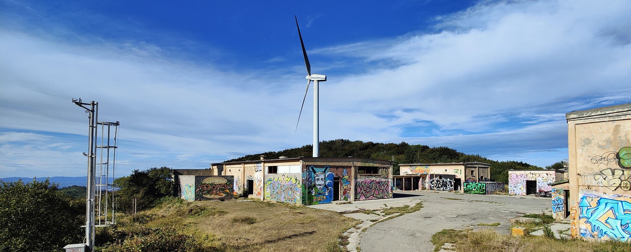
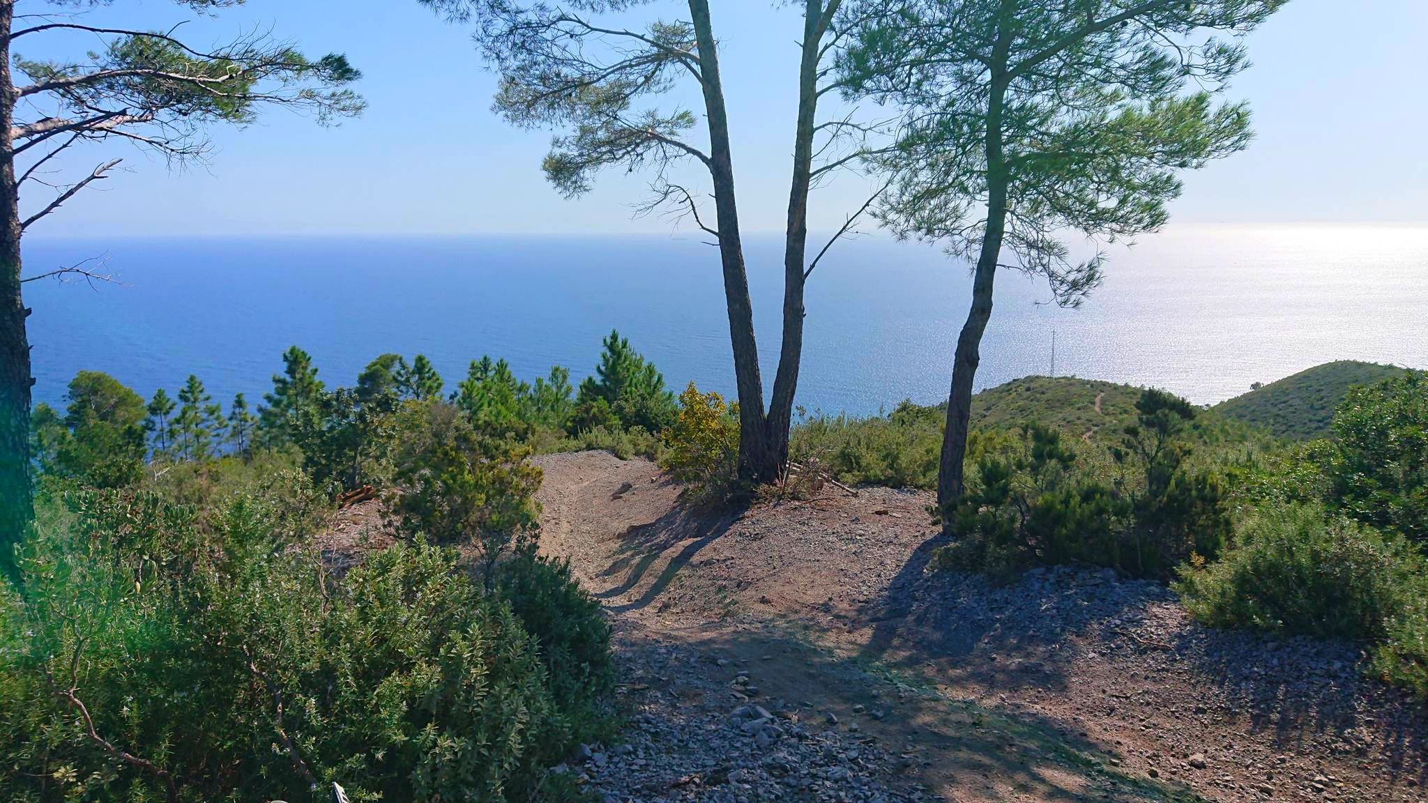
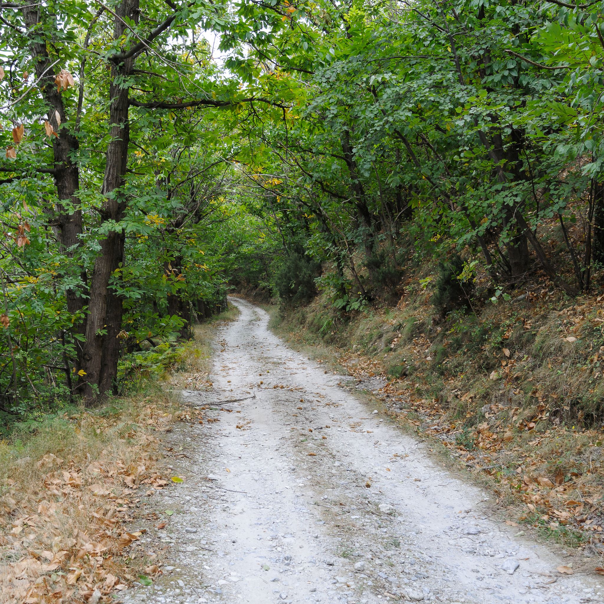
Other adventures around Calice Ligure


Tips from the Community


Panoramic view and beautiful hiking trail
0
0


It is worth looking at Noli not only from above!
0
0

Torre delle Streghe (tower of the witches) is a small tower, or what is left of it. Apparently build in 1582 as a watchtower to stop trespassers from Varigotti into the territory of Noli.
1
0
You'll have a nice view of Noli and it's beach as well as Spotorno
1
0

Frequently Asked Questions
How many mountaineering routes are available around Calice Ligure?
There are 8 mountaineering routes documented around Calice Ligure. These include a mix of moderate and difficult trails, offering diverse experiences for different skill levels.
Are there any easy mountaineering routes in Calice Ligure?
The mountaineering routes around Calice Ligure are generally classified as moderate or difficult, with no easy routes listed. However, many moderate trails offer stunning views and can be enjoyed by those with a reasonable level of fitness.
What are some challenging mountaineering routes in the area?
For those seeking a challenge, consider the Balzi Rossi Ridge loop from Monte Carmo - Monte Settepani, a difficult 4.2-mile (6.7 km) trail known for its challenging ridge walking. Another difficult option is the Balzi Rossi Ridge loop from Bric Il Pizzo, which covers 8.1 miles (13.1 km) with significant elevation gain.
Are there any circular mountaineering routes around Calice Ligure?
Yes, many of the mountaineering routes in Calice Ligure are circular. For example, the View over Noli – Capo Noli on the Via Aurelia loop from Noli is a moderate 6.6-mile (10.6 km) loop offering expansive coastal views. Another great circular option is the Resti postazione militare – Grotta dei Falsari loop from Varigotti, a 7.5-mile (12.0 km) trail through coastal hills.
What do other mountaineers enjoy most about the routes in Calice Ligure?
The mountaineering routes in Calice Ligure are highly rated by the komoot community, with an average score of 4.9 stars. Reviewers often praise the diverse terrain, panoramic views of the Ligurian Sea, and the mix of coastal paths, forested slopes, and rocky ridges.
Are there any interesting landmarks or viewpoints along the mountaineering routes?
Yes, the region offers several points of interest. You might encounter historical sites like the Melogno Central Fort or enjoy stunning vistas from the Giogo di Giustenice Viewpoint. Many routes also pass through areas with remnants of old military posts.
What is the best season for mountaineering in Calice Ligure?
Calice Ligure benefits from a Mediterranean climate, making mountaineering enjoyable for much of the year. Spring and autumn generally offer the most pleasant temperatures for longer excursions. Summer can be warm, especially on exposed coastal paths, while winter provides cooler conditions, though snow at higher elevations is possible.
Are the mountaineering routes around Calice Ligure suitable for families?
While there are no routes specifically classified as 'easy' for mountaineering, some of the moderate trails might be suitable for families with older children who are accustomed to hiking. Routes like the View over Noli – Capo Noli on the Via Aurelia loop from Varigotti, at 5.1 miles (8.3 km), offer beautiful scenery without extreme difficulty, but still require a good fitness level.
Can I bring my dog on the mountaineering routes?
Many trails in the Ligurian region are dog-friendly, but it's always advisable to check local regulations or specific trail signage. Given the varied terrain, including rocky sections and potential for wildlife, ensure your dog is well-behaved, on a leash where required, and capable of handling the distance and elevation.
How does mountaineering in Calice Ligure compare to Finale Ligure?
Both Calice Ligure and Finale Ligure offer excellent outdoor opportunities. Calice Ligure's mountaineering routes are characterized by rugged coastal hills and inland ridges, providing panoramic sea views and a mix of Mediterranean scrub and pine forests. Finale Ligure is also known for its diverse trails, often attracting a wider range of outdoor enthusiasts, including mountain bikers and climbers, alongside hikers.
What kind of terrain can I expect on these mountaineering routes?
The terrain around Calice Ligure is diverse, featuring rugged coastal hills, inland ridges, and a mix of Mediterranean scrub, pine forests, and rocky outcrops. You can expect varied conditions, from well-trodden paths to more challenging rocky sections, with elevations ranging from sea level to several hundred meters.
Are there any hidden gem trails for mountaineering in Calice Ligure?
While specific 'hidden gems' are often discovered through local exploration, the less frequented sections of trails like the Resti postazione militare – Grotta dei Falsari loop from Varigotti, which leads through historical sites and coastal hills, can offer a sense of discovery away from the most popular spots.
Most popular attractions around Calice Ligure

Get inspired with the komoot mobile app


Explore more
Browse the best Mountain Hikes & Routes in other regions.
